Skip to content

Deep Creek Valley Overlook

National Park Service
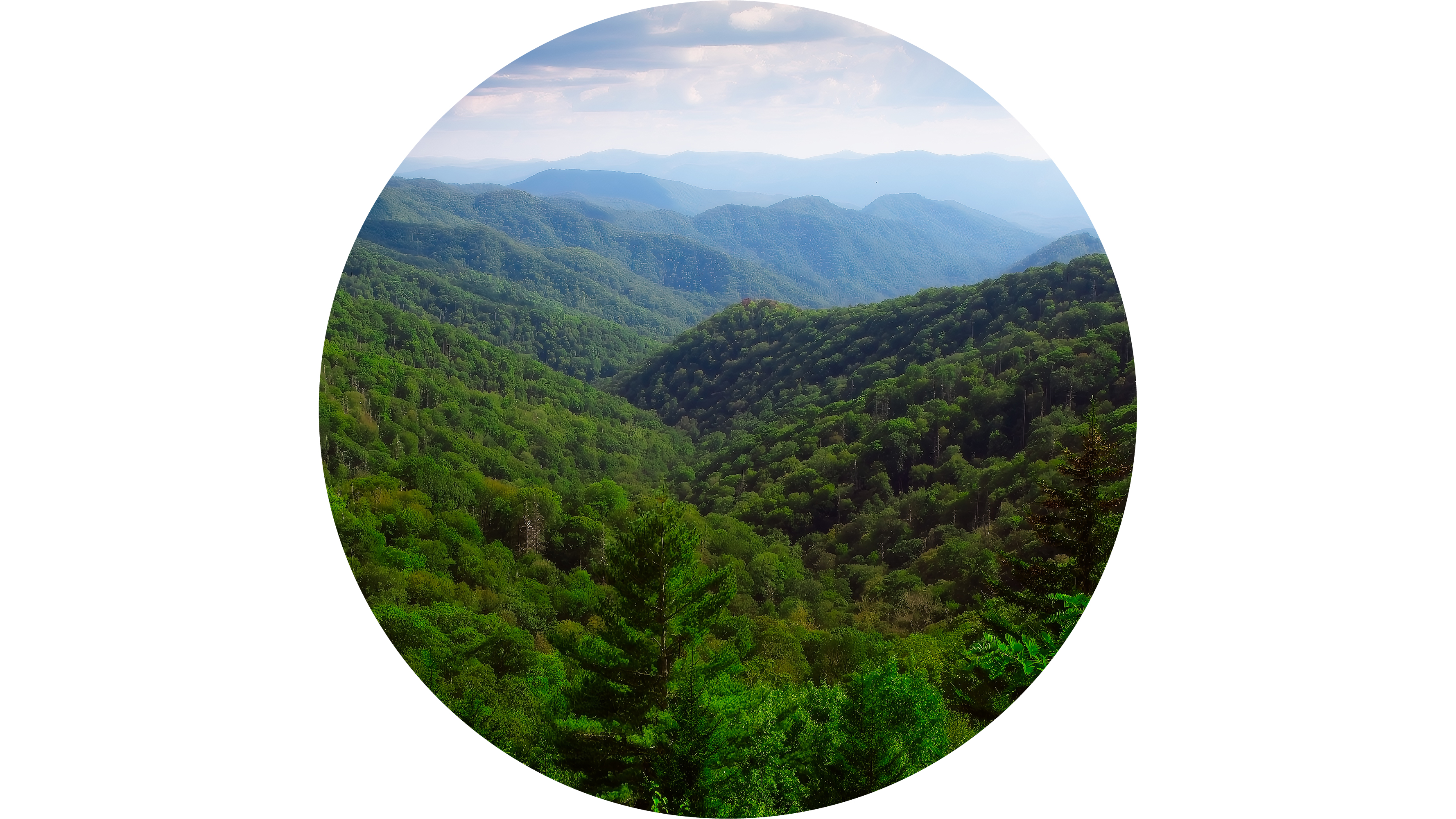
Looking north-east from Deep Creek Valley Overlook. Terrain and imagery at true elevation.

Deep Creek Valley Overlook sits at 4,806 feet on Newfound Gap Road Byway, facing 30 degrees with the land dropping 672 feet within 600 meters of the pullout. Mount Ambler is visible to the northeast at 2.4 miles, rising to 6,114 feet, and Anakeesta Knob lies to the north at 2.5 miles, at 5,976 feet. Early mornings in this area are known for temperature inversions, when clouds settle into the valleys below rather than the ridgelines. The overlook is reached by driving Newfound Gap Road (US 441), about 14 miles north from the Oconaluftee Visitor Center or about 16 miles south from Sugarlands Visitor Center. Sevierville is 20.3 miles to the north-northwest, Maryville is 32.7 miles west-northwest, and Knoxville is 37.6 miles northwest. Sunrise and sunset times shift through the year: near the March equinox the sun rises at 7:38 and sets at 19:46, at the June solstice sunrise is 6:19 and sunset 20:53, near the September equinox sunrise is 7:22 and sunset 19:32, and at the December solstice sunrise is 7:40 with sunset at 17:25. Deep Creek Valley Overlook #1 is the next stop along the byway.

Access
On the byway
Elevation
4,806 ft
View
Northeast · 30°
Relief
672 ft drop
In view
2 named features
Deep Creek Valley Overlook is roughly halfway between Sugarlands and Oconaluftee visitor centers.
Robert Burton Photo · Public domain (NPS) · NPS
View from the Thomas Ridge Overlook area along Newfound Gap Road. Early November in the North Carolina Mountains.
Washuotaku · CC BY-SA 4.0 · source
View south down Cherry Creek from Newfound Gap Road on Thomas Ridge within Great Smoky Mountains National Park, in Swain County, North Carolina
Famartin · CC BY-SA 4.0 · source
View southeast from Newfound Gap within Great Smoky Mountains National Park, on the border of Sevier County, Tennessee and Swain County, North Carolina
Famartin · CC BY-SA 4.0 · source
500px provided description: Dreaming For A Sunset [#HDR ,#Fall ,#Sunrise ,#Autumn ,#Landscapes ,#Mountains ,#Road ,#North Carolina ,#Cherokee ,#Swain County ,#HDR Photography ,#Great Smoky Mountains ,#Curve ,#Great Smoky Mountains National Park ,#Western North Carolina ,#Aaron Morgan Photography]
Aaron Morgan · CC BY-SA 3.0 · source
Snowy view from Newfound Gap, December 10, 2018
Great Smoky Mountains National Park from Gatlinburg, TN · Public domain · source

What you’re looking at

Named terrain inside the view from this overlook, nearest first.

  • Mount Ambler6,114 ftnortheast · 2.4 mi
  • Anakeesta Knob5,976 ftnorth · 2.5 mi

Light

DateSunriseSunsetGolden hour
March equinox07:3819:4619:12
June solstice06:1920:5320:15
September equinox07:2219:3218:59
December solstice07:4017:2516:45

Local time (America/New_York). Computed for this exact position.

Where it is

  • Sevierville20.3 mi north-northwest
  • Maryville32.7 mi west-northwest
  • Knoxville37.6 mi northwest
Loading map…
Private beta · Free to join

Take the scenic way to Deep Creek Valley Overlook.

Byway plans around your taste, verified places, real weather and opening hours — then opens every leg in Google Maps with one tap.

Private beta · Free to join · No card · Invite when a spot opens

Deep Creek Valley Overlook · National Park Service

Overview A great spot to be above the clouds. An inversion where the clounds sink into the valleys is common in the early mornings in the Smokies. This is a great spot to view such a beauitful natural phenomenon.

How to Get There Drive on Newfound Gap Road (US 441). Travel almost 14 miles north from Oconaluftee Visitor Center or almost 16 miles south from Sugarlands Visitor Center. Similar Points of Interest Maloney Point Overlook Carlos Campbell Overlook

Read it at National Park Service

Anakeesta Knob · WikipediaCC BY-SA

Anakeesta Knob is a mountain in the Great Smoky Mountains National Park in Tennessee. It has an elevation of 5,988 feet (1,825 m), and is accessible via The Boulevard Trail.

Read it at Wikipedia

How high is Deep Creek Valley Overlook?

Deep Creek Valley Overlook sits at about 4,806 feet (1,465 m).

What can you see from Deep Creek Valley Overlook?

From Deep Creek Valley Overlook: Mount Ambler (NE, 2.4 mi); Anakeesta Knob (N, 2.5 mi).

What is the nearest town to Deep Creek Valley Overlook?

Sevierville, 20 miles NNW of Deep Creek Valley Overlook.

What is the next lookout after Deep Creek Valley Overlook?

Deep Creek Valley Overlook #1 is the next surfaced lookout along the same route after Deep Creek Valley Overlook.

Drive to Deep Creek Valley Overlook with Byway

Byway plans the scenic way there — real places along Newfound Gap Road Byway, real weather, zero hallucinations — and hands the turns to the navigation you already use.

Byways with this lookout

Locals make it Verified.

Deep Creek Valley Overlook — confirmed, rated, and photographed by people who actually pulled over. A local confirmation is what upgrades a lookout from Discovered to Verified. Zero hallucinations.

Confirmed by locals

No local confirmations yet. Stood here? Yours is the one that upgrades this lookout to Verified.

Ratings

No ratings yet. Stood at this lookout? Be the first to rate it.

No written reviews yet.

Field notes

No field notes yet. Know the gate hours or the best pull-in? Leave the note you wish you'd had.

Photos

No photos yet.

Sign in to confirm this lookout, rate it, add photos, and leave field notes.

More lookouts on Newfound Gap Road Byway

Named places near this lookout