National Park of American Samoa

Official park boundary · National Park Service
Take the scenic way to National Park of American Samoa.
Byway plans around your taste, verified places, real weather and opening hours — then opens every leg in Google Maps with one tap.
The National Park of American Samoa invites you to discover the vibrant culture and stunning landscapes of the South Pacific. Experience a world unlike any other, where natural beauty and cultural heritage are protected for future generations. Join us in exploring these islands of sacred earth!
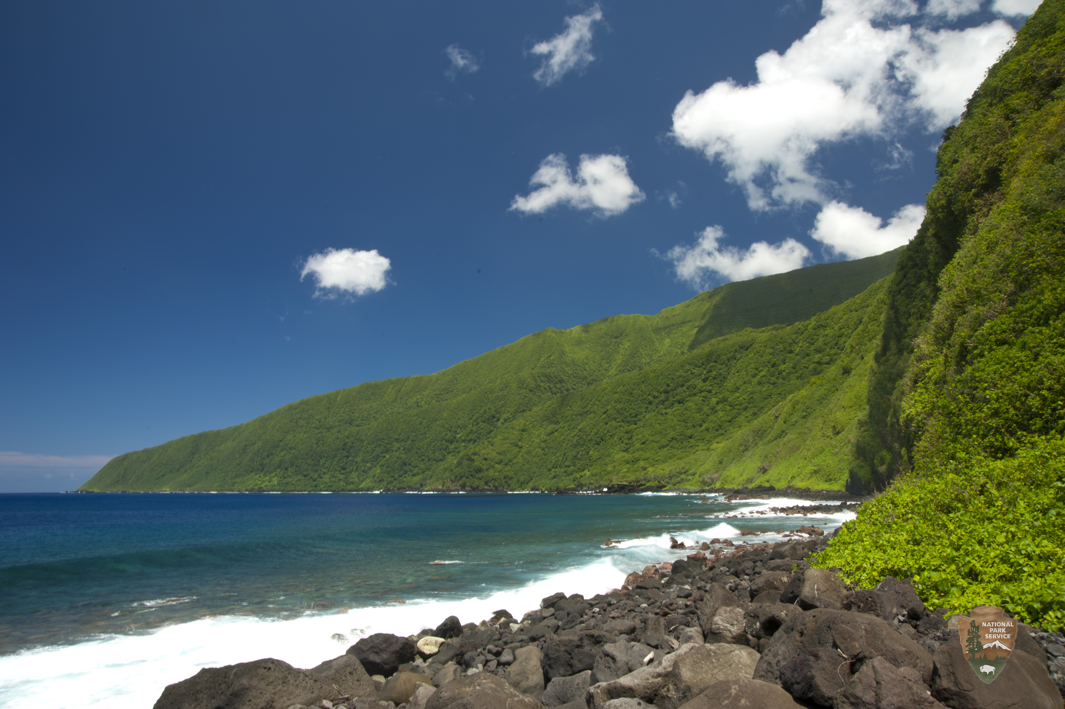
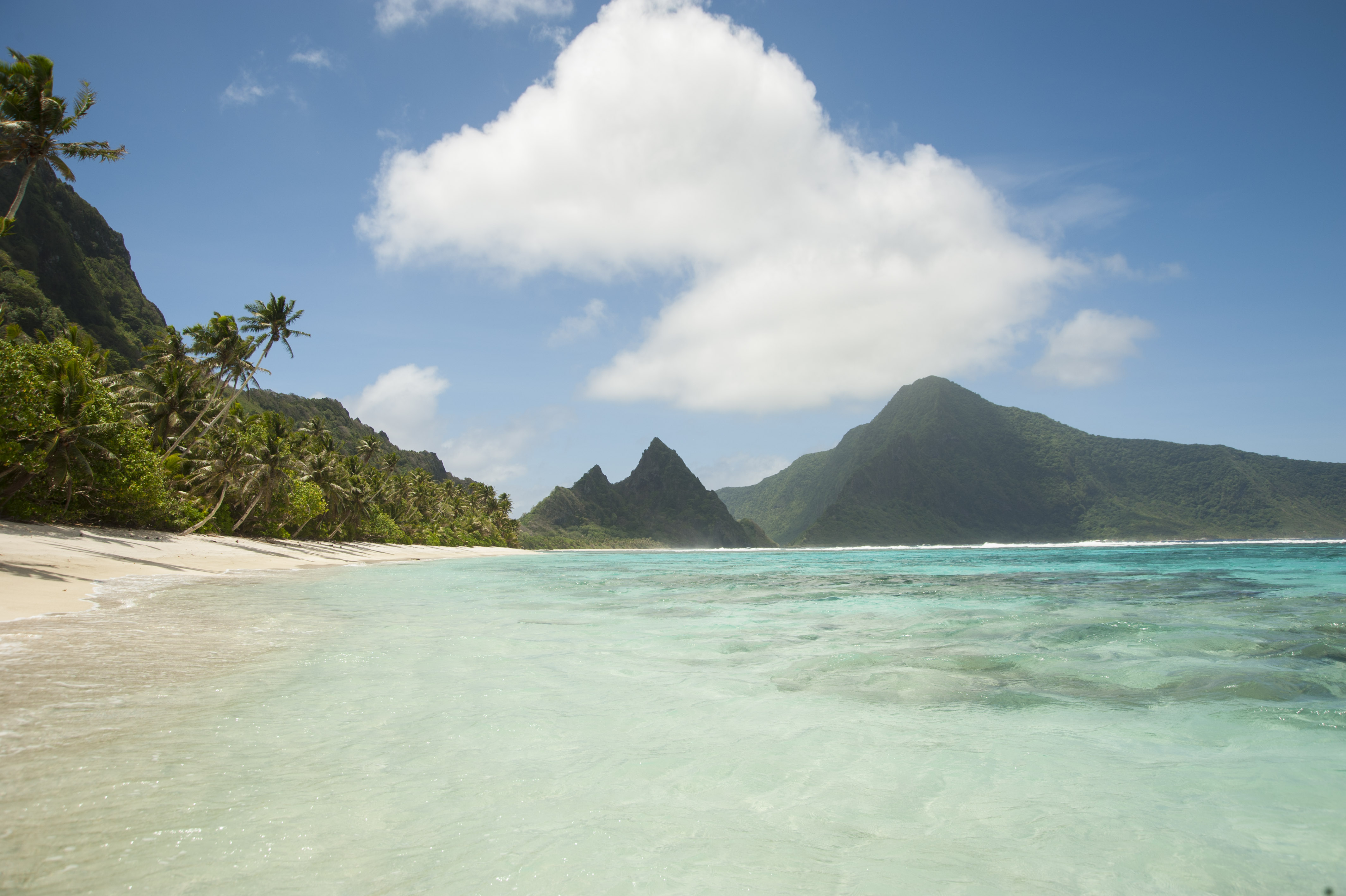
The National Park of American Samoa is a national park of the United States located in the territory of American Samoa, distributed across three islands: Tutuila, Ofu, and Taʻū. The park preserves and protects coral reefs, tropical rainforests, fruit bats, and the Samoan culture. Popular activities include hiking and snorkeling. Of the park's 8,257 acres (3,341 ha), 2,500 acres (1,000 ha) is coral reefs and ocean.
The visitor center is located in the village of Pago Pago, across from the Pago Way Service Station. The national park is located in the villages of Vatia, Pago Pago, Fagasa, Afono (on Tutuila Island), Fitiuta, Faleasao (on Ta'u Island), and Ofu Island
American Samoa is in the South Pacific Ocean, between the Equator and the Tropic of Capricorn. A tropical climate prevails with warm or hot temperatures year-round and high humidity. Rain showers are frequent and can last only for a few minutes or all-day. The average annual rainfall is 125-inches in the dryer areas to as much as 300-inches in the highest mountains. Tropical storms are more prevalent during the long, wet summer season (October -May) and a slightly cooler and drier season (June-September)
Source: National Park Service
Park facts, fees, and activities confirmed against the National Park Service registry.
National Park Service registryChecked 2026-08-04
- Tuafanua Trail
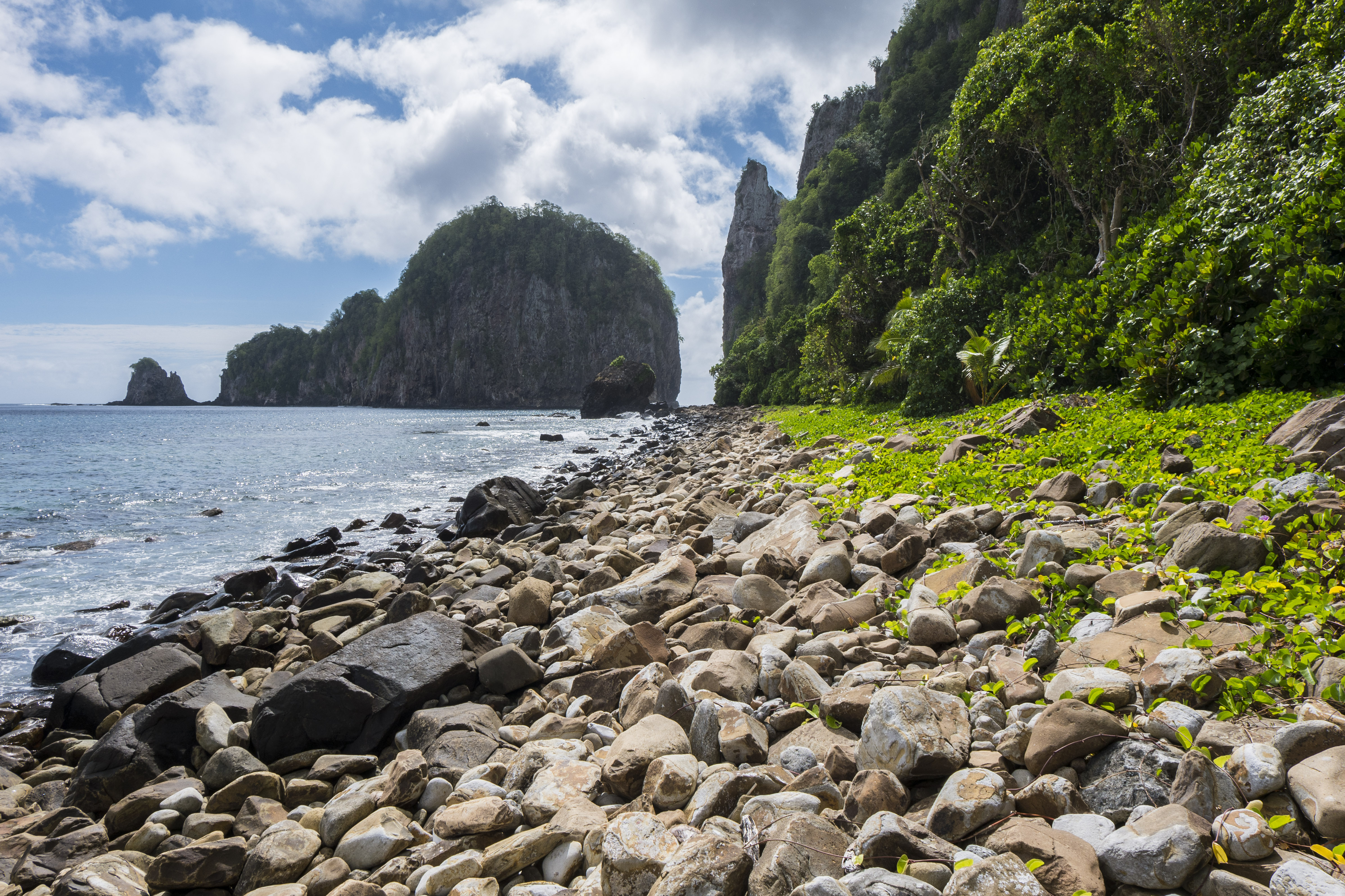
Moderate = 2.2mi/3.54km total; 219ft/67m elevation gain; 2-3 hours. The trail leads you via ladders, steps, and ropes to a rocky beach, where you can enjoy the sound of the waves and take in the Western view of Pola Island.
- Mount Alava Trail
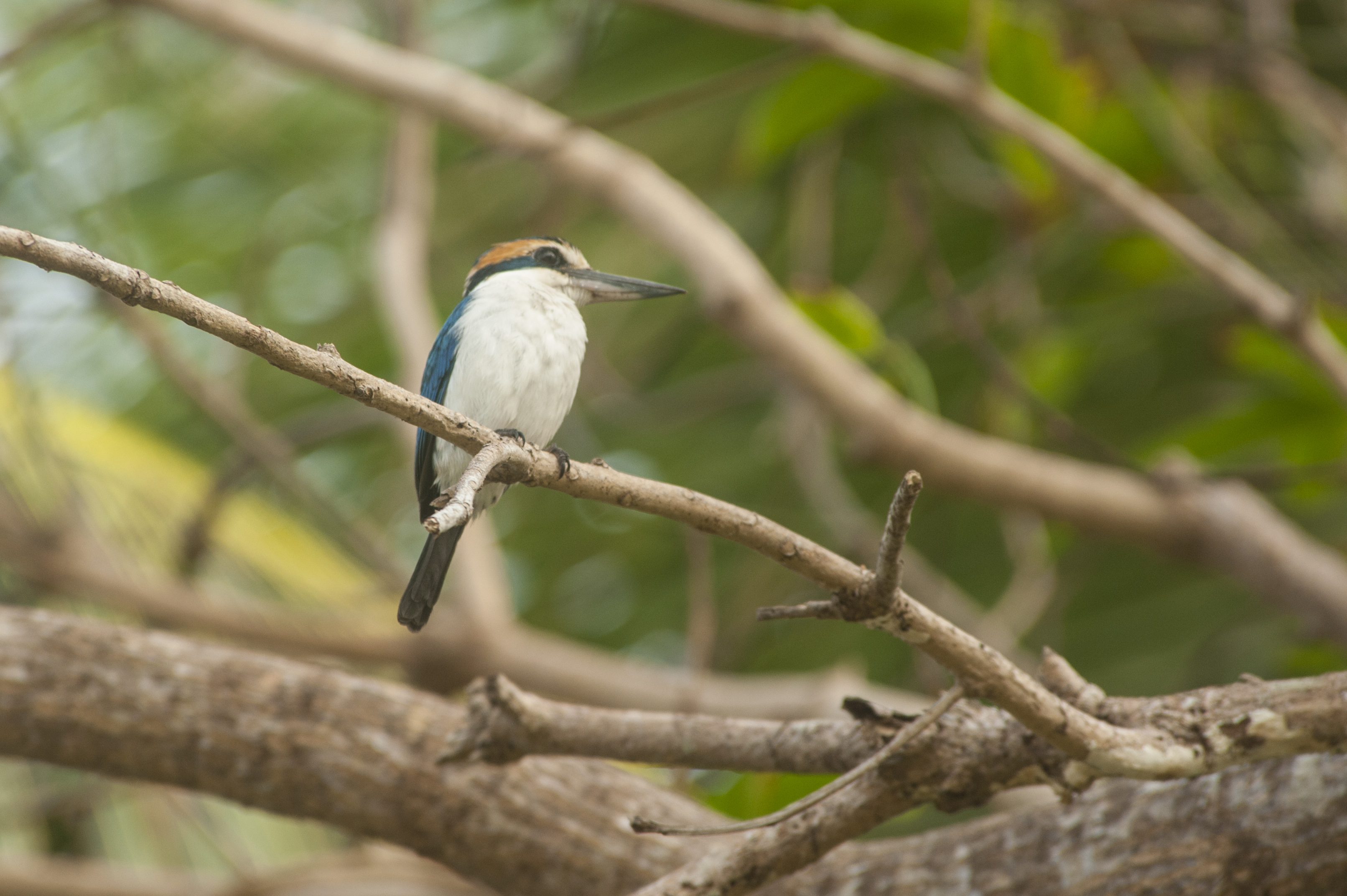
Difficult = 7mi/11.27km total; 1,607ft/490m elevation gain; 4-5 hours. Trail can be steep, slippery, and rocky in places. Stunning panoramic views from the summit. Lush rainforest environment, great for bird and fruit bat watching.
- Lower Sauma Ridge Trail
Easy = 0.4mi/0.64km total; 232ft/7m elevation gain; 30-45 minutes. A gentle climb to an archaeological site featuring ancient grinding stones, this trail combines history with incredible views of the northeast coastline and the Vai’ava Strait.
- Pola Island Trail
Easy = 0.1mi/0.16km total; 30ft/9m elevation gain; 15-30 minutes. This short, easy trail leads you to the untouched shores of the South Pacific; delivering big rewards with views of the rugged coastline and Pola Island, a sanctuary for nesting seabirds.
- Upper Sauma Ridge Trail
Strenuous = 3.2mi/5.15km total; 1,489ft/454m elevation gain; 3-4 hours. Hike a challenging trail through a dense rainforest, surrounded by native trees and birds. Enjoy one of the island’s most beautiful views of Vatia village and Pola Island at the summit.
- Fruit Bat Watching
Fruit bats are the only native mammals found in American Samoa. The two species of fruit bat and one insect-eating bat species are harmless to people. They have a wingspan close to three feet. As fruit eaters, fruit bats are excellent and vital pollinators.
- Snorkeling
Each island of American Samoa supports a coral reef ecosystem in its coastal waters. These coral reefs support a variety of marine life typical of tropical Indo-Pacific waters. To date, over 950 species of fish and over 250 species of coral have been documented.
- Take a boat ride to Aunu'u
About one mile southeast of Tutuila’s eastern tip is the volcanic island of ‘Aunu’u, the smallest inhabited island. It can be reached by boat and explored by foot. 'Aunu'u Island is an excellent exposure of a relatively young flow of basalt inter-bedded with layers of tuff.
Source: National Park Service
Where is National Park of American Samoa?
National Park of American Samoa is in American Samoa.
When was National Park of American Samoa established?
National Park of American Samoa was established in 1988.
How big is National Park of American Samoa?
National Park of American Samoa covers 13 square miles (8,257 acres).
Does National Park of American Samoa have a visitor center?
Yes. National Park of American Samoa has 1 visitor center: Visitor Center and Park Store.
Drive American Samoa with Byway
Byway plans the scenic day around American Samoa — real places, real weather, every stop verified. Zero hallucinations. Google Maps for turns. Byway for soul.