Bryce Canyon National Park

Official park boundary · National Park Service
Take the scenic way to Bryce Canyon National Park.
Byway plans around your taste, verified places, real weather and opening hours — then opens every leg in Google Maps with one tap.
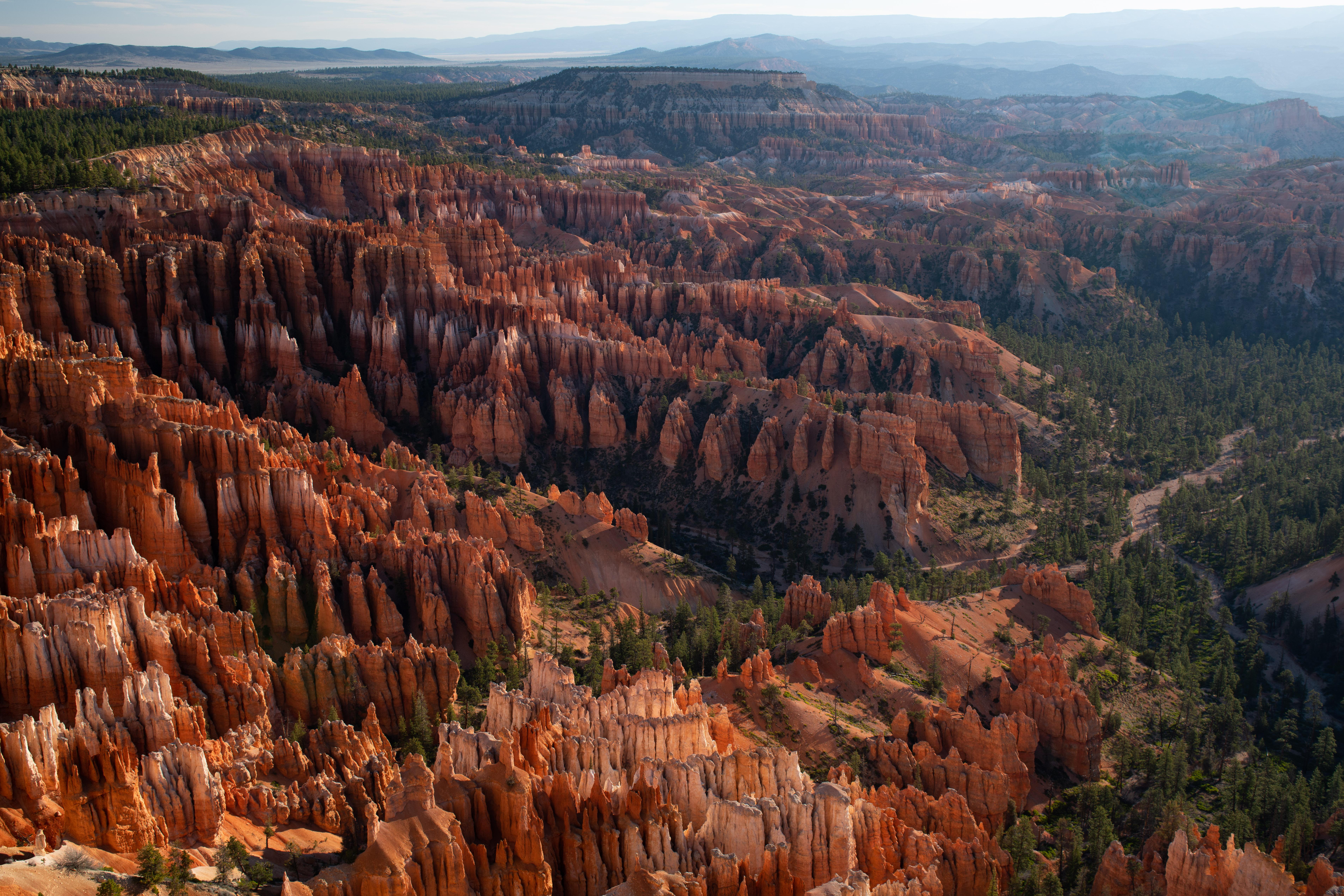
Hoodoos (irregular columns of rock) exist on every continent, but here is the largest concentration found anywhere on Earth. Situated along a high plateau at the top of the Grand Staircase, the park's high elevations include numerous life communities, fantastic dark skies, and geological wonders that defy description.
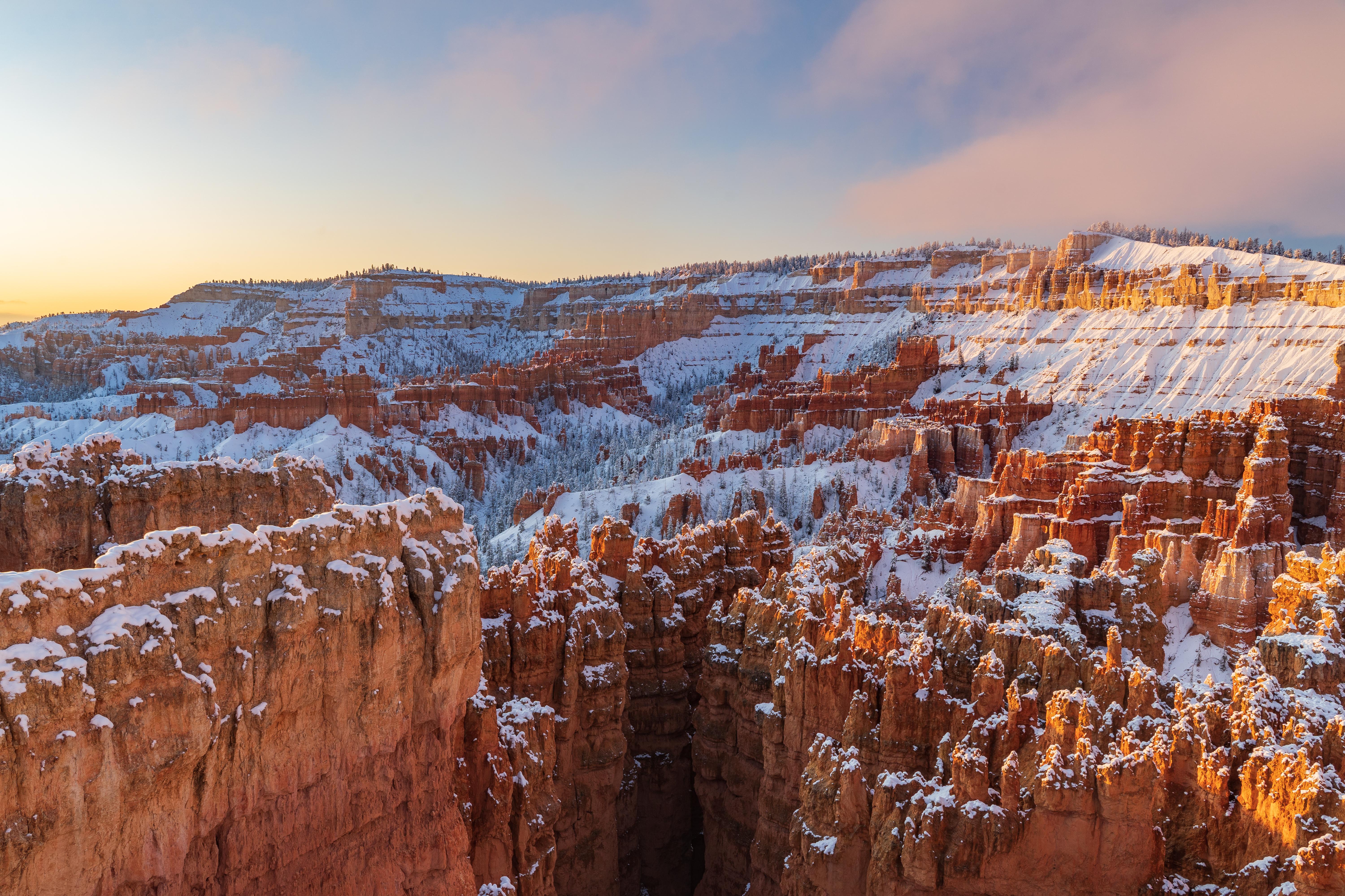
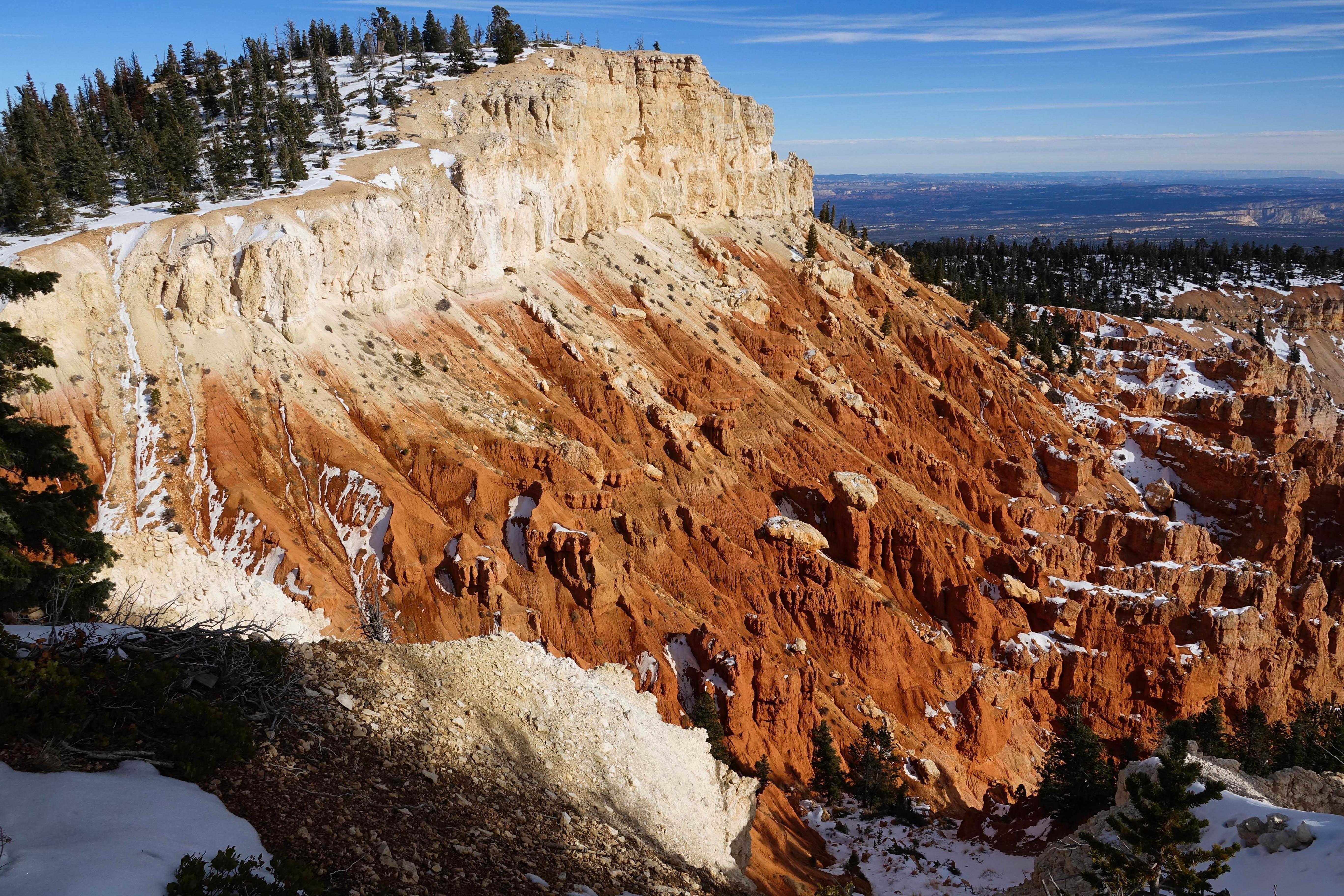
Bryce Canyon National Park is a national park of the United States located in southwestern Utah. The major feature of the park is Bryce Canyon, which, despite its name, is not a canyon but a collection of giant natural amphitheaters along the eastern side of the Paunsaugunt Plateau. Bryce is distinctive due to geological structures called hoodoos, formed by frost weathering and stream erosion of the river and lake bed sedimentary rock. The red, orange, and white colors of the rocks provide distinctive views for park visitors. Bryce Canyon National Park is much smaller and sits at a much higher elevation than nearby Zion National Park. The rim at Bryce varies from 8,000 to 9,000 feet.
From the North: Take I-15 south to UT-20 (exit 95). Travel east on UT-20 to US-89. Follow US-89 south to UT-12. Travel east on UT-12 to UT-63. Take UT-63 south to Bryce Canyon NP. From the South through Zion National Park: Take I-15 north to UT-9 (exit 16). Follow UT-9 east through Zion National Park to US-89. Travel north on US-89 to UT-12. Go east on UT-12 to UT-63. Take UT-63 south to Bryce Canyon NP. From the East Travel west on UT-12 to UT-63. Take UT-63 south to Bryce Canyon NP.
Due of its high elevation climate, weather at Bryce Canyon through autumn, winter, and spring can be highly variable. From October to May temperatures fall below freezing nearly every night. The park typically experiences its coldest and snowiest periods from December through February. Spring storms in March and April can still produce heavy snowfall that may impact travel in the region. Summer highs are typically in the 70s-80s F and afternoon thunderstorms are common in July and August.
Source: National Park Service
Admits one private, non-commercial vehicle (15 passenger capacity or less) and all occupants.
Valid for 7 days. Admits up to 2 private, non-commercial motorcycles with up to 4 total passengers.
Admits one individual with no car to the park - typically used for bicyclists and walk-ins. Youth 15 and under are admitted free.
Each non-US resident aged 16 and older visiting Bryce Canyon National Park must pay a $100 nonresident fee (in addition to the standard entrance fee), unless admitted with an Annual or America the Beautiful Pass.
Park facts, fees, and activities confirmed against the National Park Service registry.
National Park Service registryChecked 2026-08-04
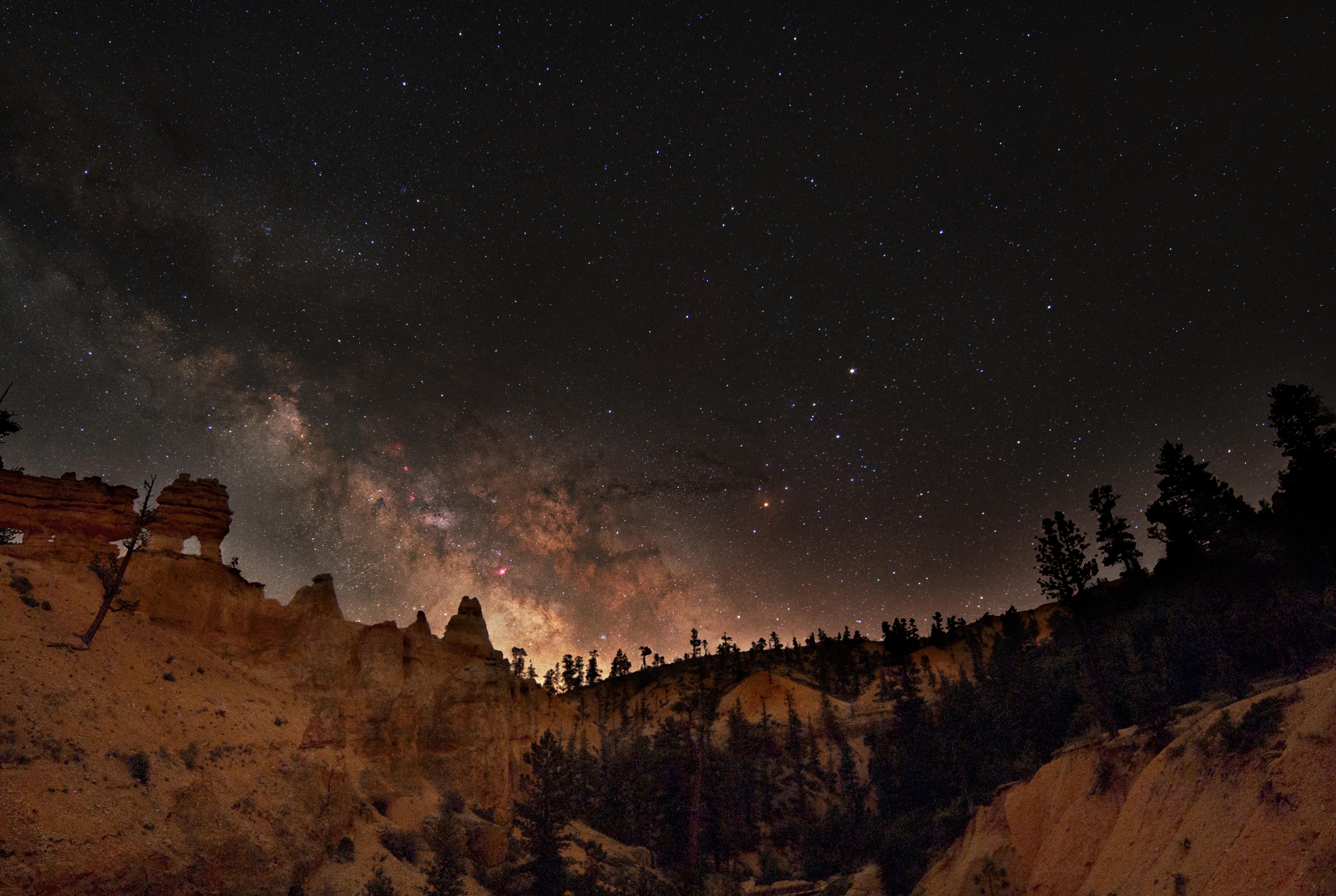
- See the Night Sky
Bryce Canyon is a sanctuary for natural darkness. Bryce Canyon's skies are so dark, that in 2019 the park was designated as a Gold Tier International Dark Sky Park.
- Birdwatching
175 different species of birds have been documented to frequent Bryce Canyon National Park. Some are just passing through. Others stay for an entire season. Fewer still make this their year-round home, but those that do are charming and charismatic.
- Bristlecone Loop Trail
The Bristlecone Loop, an easy 1 mile hike, meanders through the forest atop this highest portion of the park, reaching elevations over 9,100 feet (2778 m). Here you will pass by bristlecone pines up to 1,800-years-old and experience vistas reaching into the Four Corners area.
- Swamp Canyon Loop
Swamp Canyon appears relatively small and sheltered from the overlook, allowing the viewer to develop a more intimate connection with the landscape than some of the grander viewpoints in the park.
- Plan a Picnic
Looking for a good place to enjoy a picnic? Here is a list of Bryce Canyon picnic areas.
- Figure-8 Combination
The Figure-8 Combination combines three amphitheater hikes, Queen's Garden, Navajo Loop, and the Peekaboo Loop, into one ultimate hike! We recommend a clockwise direction descending Queen's Garden, connecting to the Peekaboo Loop (we recommend hiking it in a clockwise direction), and ascending eithe…
- Queen's/Navajo Combination Loop
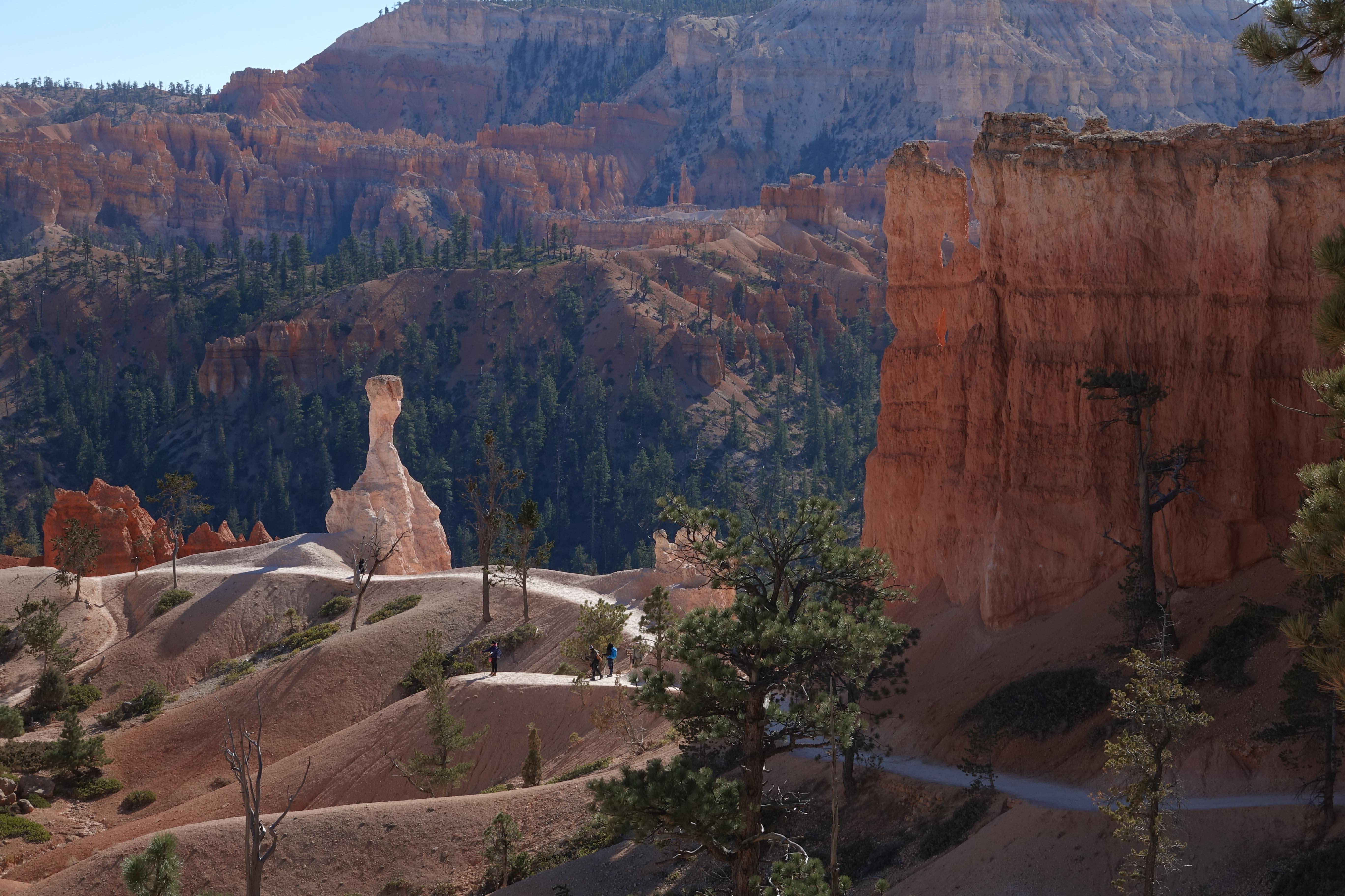
Our most popular hike in the park and the one we most recommend to first-time visitors. The Queen's/Navajo Combination Loop combines the open views and unique hoodoos of the Queen's Garden Trail with the iconic switchbacks and towering canyon walls of the Navajo Loop Trail.
- Queen's Garden Trail
The Queen's Garden Trail is the least difficult of the trails descending from the rim into the Bryce Canyon Amphitheater. Hike this out-and-back trail to the Queen Victoria hoodoo at the end of a short spur trail and experience the splendor of hiking amongst the hoodoos.
Source: National Park Service
Where is Bryce Canyon National Park?
Bryce Canyon National Park is in Utah.
When was Bryce Canyon National Park established?
Bryce Canyon National Park was established in 1928.
How big is Bryce Canyon National Park?
Bryce Canyon National Park covers 56 square miles (35,835 acres).
How much does it cost to enter Bryce Canyon National Park?
Bryce Canyon National Park charges $35 per private vehicle. Other rates apply to motorcycles, cyclists and walk-ins, and some parks add their own reservation or surcharge on top.
Can you camp in Bryce Canyon National Park?
Yes. The National Park Service runs 2 campgrounds in Bryce Canyon National Park, with 199 campsites between them.
Does Bryce Canyon National Park have a visitor center?
Yes. Bryce Canyon National Park has 1 visitor center: Bryce Canyon Visitor Center.
Day trips start here
- Bryce Canyon National Park · 4 mi
Drive Bryce Canyon with Byway
Byway plans the scenic day around Bryce Canyon — real places, real weather, every stop verified. Zero hallucinations. Google Maps for turns. Byway for soul.