Capitol Reef National Park

Official park boundary · National Park Service
Take the scenic way to Capitol Reef National Park.
Byway plans around your taste, verified places, real weather and opening hours — then opens every leg in Google Maps with one tap.
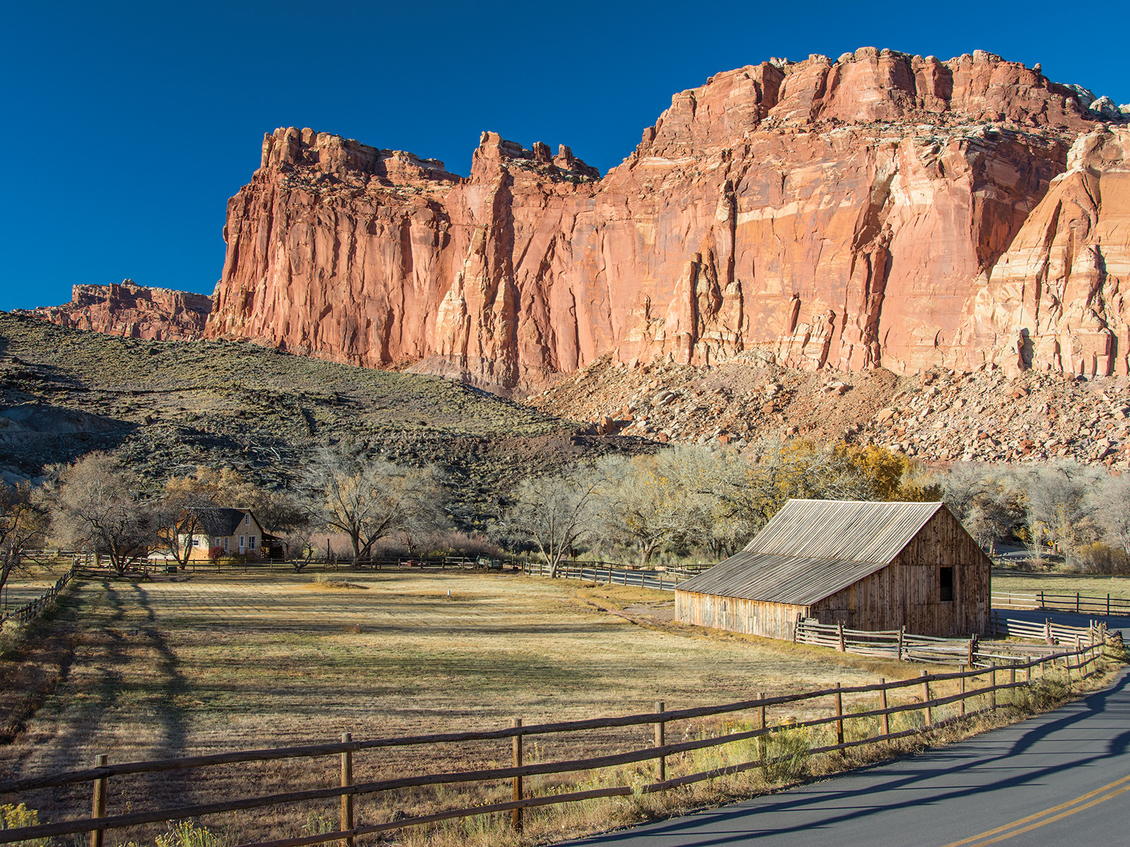
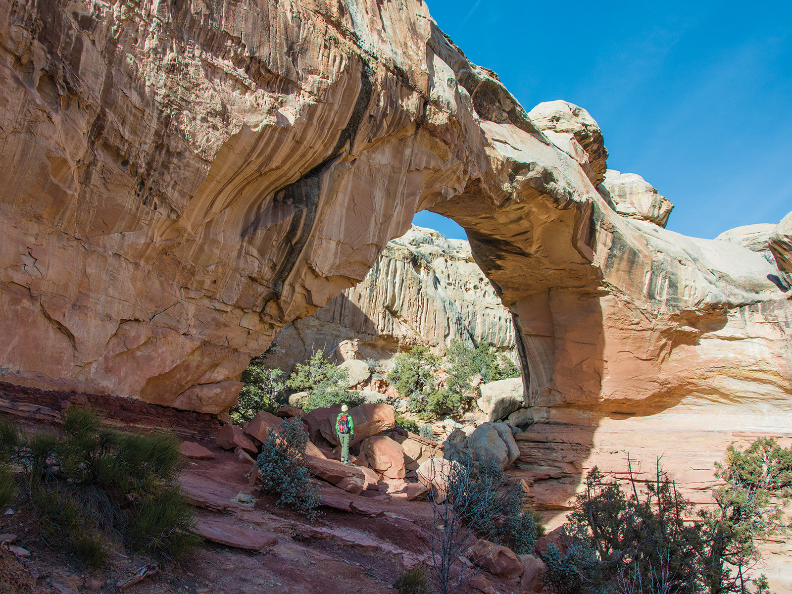
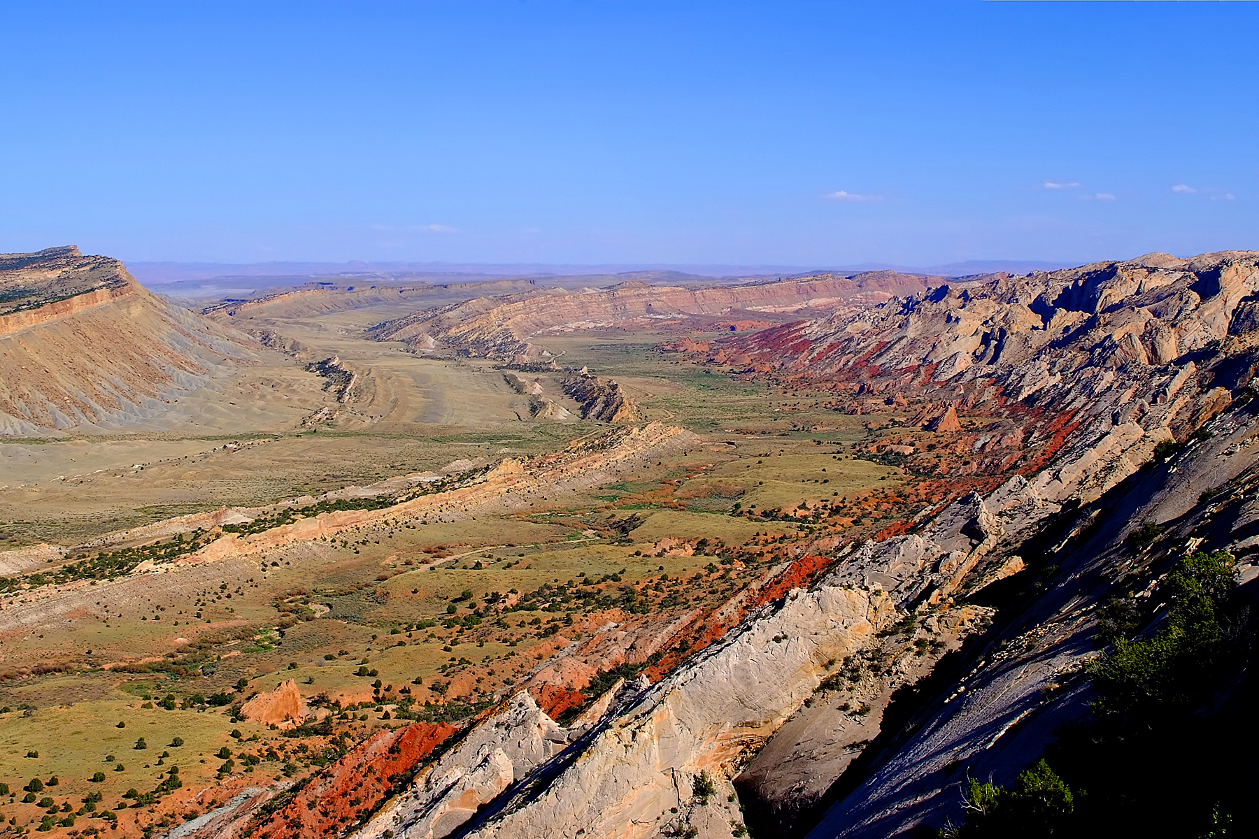
Located in south-central Utah in the heart of red rock country, Capitol Reef National Park is a hidden treasure filled with cliffs, canyons, domes, and bridges in the Waterpocket Fold, a geologic monocline (a wrinkle on the earth) extending almost 100 miles.
Capitol Reef National Park is a national park of the United States in south-central Utah. The park is approximately 60 miles (100 km) long on its north–south axis and just 6 miles (10 km) wide on its east-west axis, on average. The park was established in 1971 to preserve 241,904 acres of desert landscape and is open all year, with May through September receiving the most visitors.
From I-70: Take exit 149, then take UT-24 west toward Hanksville; continue for 43.8 miles (70.5 km). Turn right to continue on UT-24 west and continue for 37.3 miles (60 km). From I-15: take exit 188 then US-50 east toward Scipio. Left on UT-50; continuing 0.7 miles (1.1 km). Turn right onto US-50 east; continue for 24.4 miles (39.3 km). Turn right onto UT-260 south and continue 4.2 miles (6.8 km), then right on UT-24 for 71.3 miles. UT-12: North on highway 12 to Torrey, UT. Right onto UT-24.
Weather is posted daily; check at the park visitor center for weather updates. Do not enter into narrow canyons if there is a threat of rain or if rain has been falling in the area. Rain and snow may also make dirt roads impassable to vehicles.
Source: National Park Service
An entrance fee is charged per vehicle.
Valid for 7 days. Admits up to 2 private, non-commercial motorcycles with up to 4 total passengers.
Admits one individual with no car. Typically used for bicyclists and pedestrians.
Commercial Road-Based Tours are required to obtain a Commercial Use Authorization before visiting Capitol Reef. When visiting the park, the tour must then pay the separate entrance fee at the visitor center (or through pay.gov). Tours wit…
Park facts, fees, and activities confirmed against the National Park Service registry.
National Park Service registryChecked 2026-08-04
- Stargaze
Capitol Reef protects extremely dark night skies, and is a wonderful place to stargaze.
- Bicycle Touring
Bicycling touring in Capitol Reef offers opportunities to explore paved and unpaved roads throughout the park. Explore colorful canyons, beautiful vistas of red rock country, and the verdant Fruita Historic District by bicycle.
- Watch the Sunset
Watch the sunset from various scenic points in Capitol Reef. Take an easy stroll or a strenuous hike as the sun goes down. Don't forget to bring a headlamp.
- Visit the Petroglyph Panel
From 600 to 1300 C.E., native people of the Fremont Culture made their home at Capitol Reef. Petroglyphs carved into the Wingate sandstone remind us of their time.
- Scenic Drive Tour
Take Capitol Reef's Scenic Drive, and experience colorful cliffs and deep narrow canyons from the comfort of your vehicle.
- Hike in the South (Waterpocket) District
Get to know the South (Waterpocket) District on foot by hiking an easy trail or strenuous backcountry route. Many of these hikes are accessible only by unpaved roads.
- Picnic
Enjoy a picnic in Capitol Reef National Park! In the Fruita Historic District, look for the Doc Inglesby and Chesnut picnic areas, as well as tables and a water fountain near the Gifford House.
- Hike Cathedral Valley
Explore Cathedral Valley by foot. These hikes are accessible only by rough unpaved roads. A high clearance vehicle is necessary and four-wheel drive is recommended at times.
Source: National Park Service
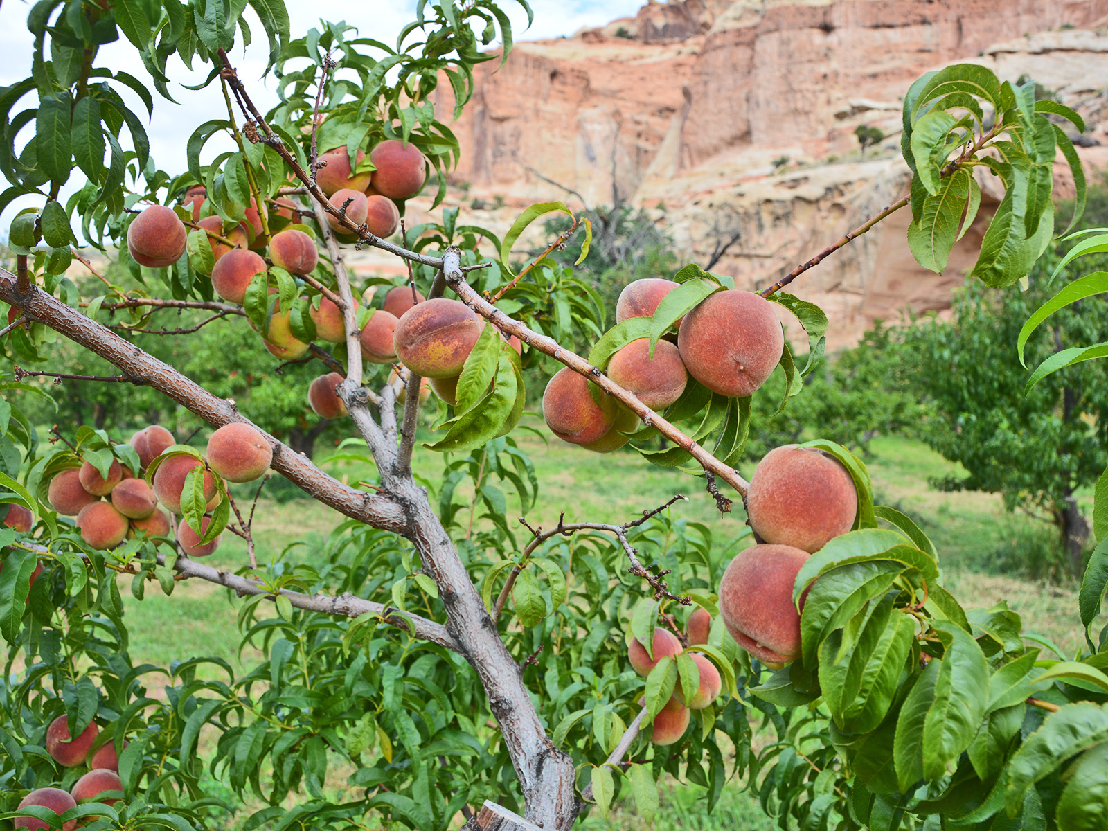
Where is Capitol Reef National Park?
Capitol Reef National Park is in Utah.
When was Capitol Reef National Park established?
Capitol Reef National Park was established in 1971.
How big is Capitol Reef National Park?
Capitol Reef National Park covers 378 square miles (241,905 acres).
How much does it cost to enter Capitol Reef National Park?
Capitol Reef National Park charges $20 per private vehicle. Other rates apply to motorcycles, cyclists and walk-ins, and some parks add their own reservation or surcharge on top.
Can you camp in Capitol Reef National Park?
Yes. The National Park Service runs 5 campgrounds in Capitol Reef National Park, with 83 campsites between them.
Does Capitol Reef National Park have a visitor center?
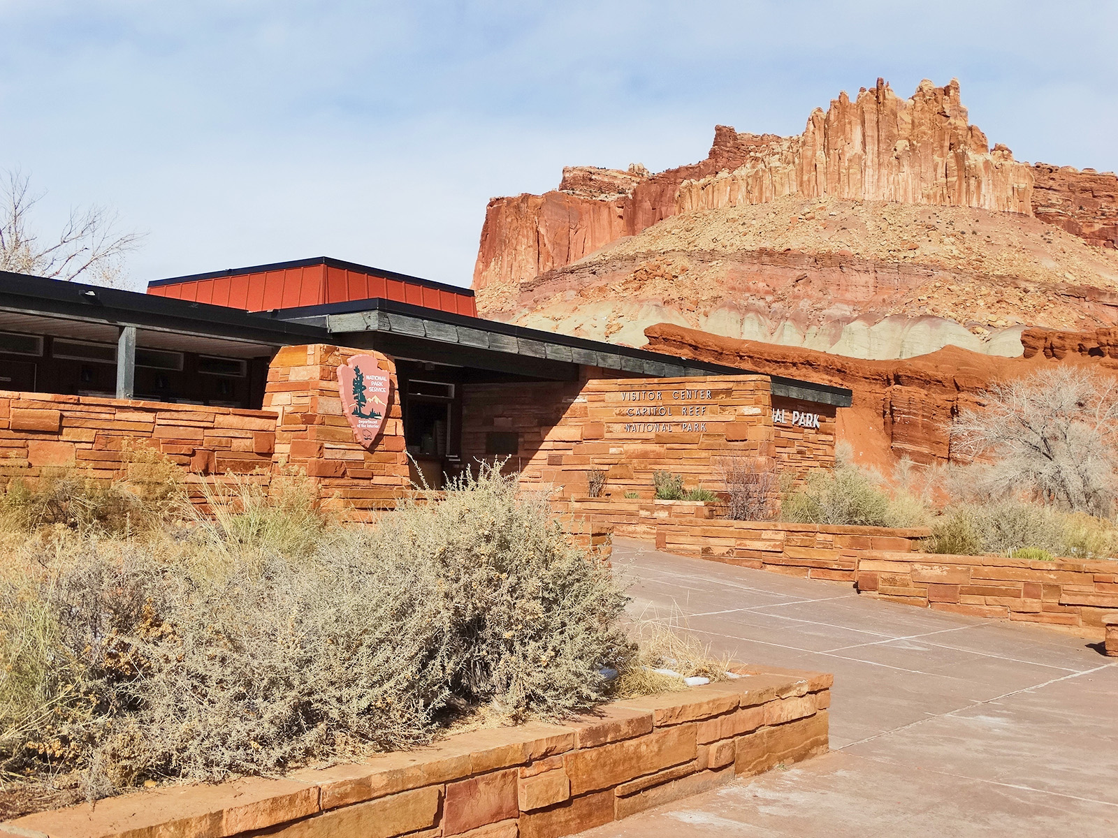
Yes. Capitol Reef National Park has 1 visitor center: Capitol Reef National Park Visitor Center.
Day trips start here
- Capitol Reef National Park · 0 mi
Drive Capitol Reef with Byway
Byway plans the scenic day around Capitol Reef — real places, real weather, every stop verified. Zero hallucinations. Google Maps for turns. Byway for soul.