Death Valley National Park

Official park boundary · National Park Service
Take the scenic way to Death Valley National Park.
Byway plans around your taste, verified places, real weather and opening hours — then opens every leg in Google Maps with one tap.
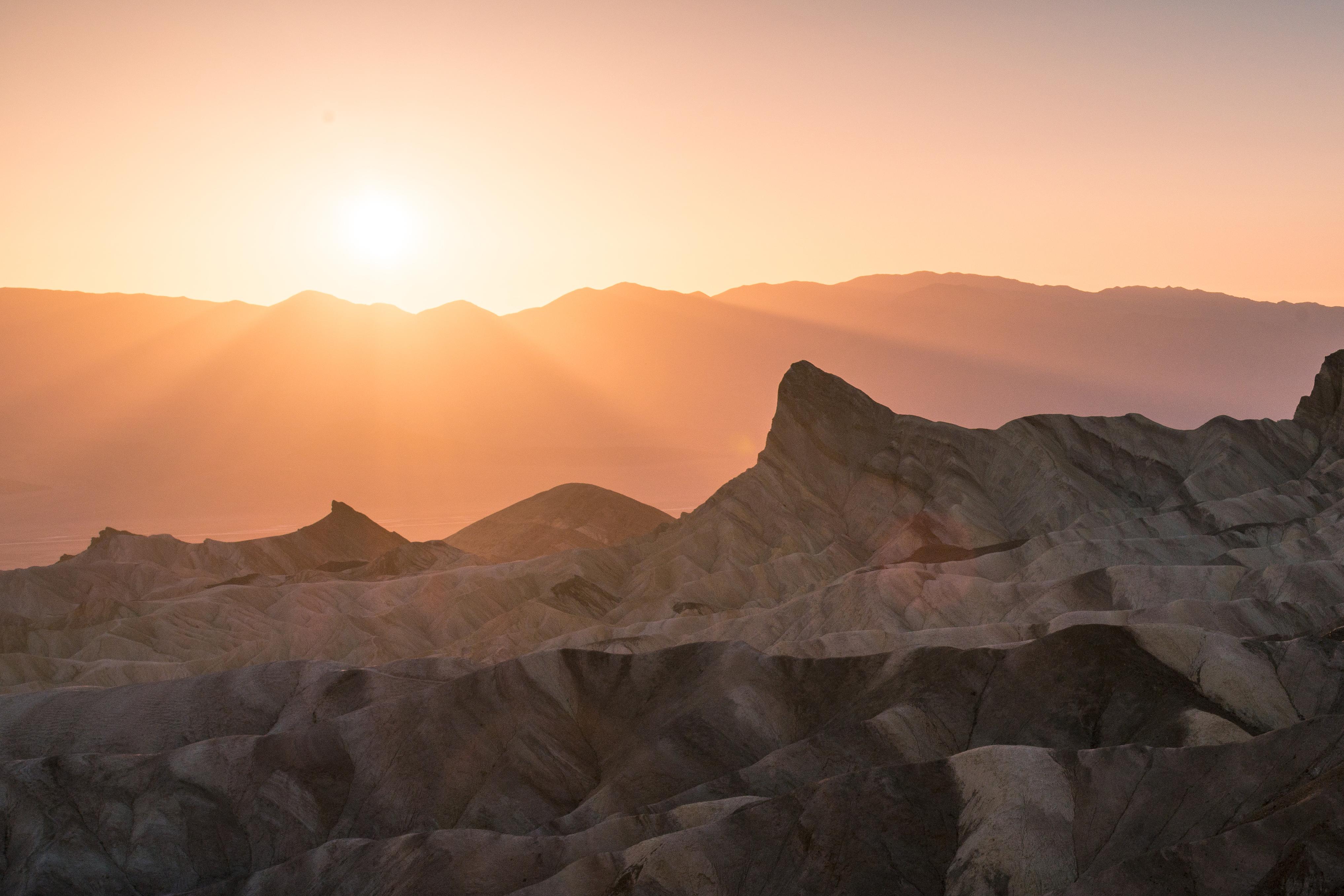
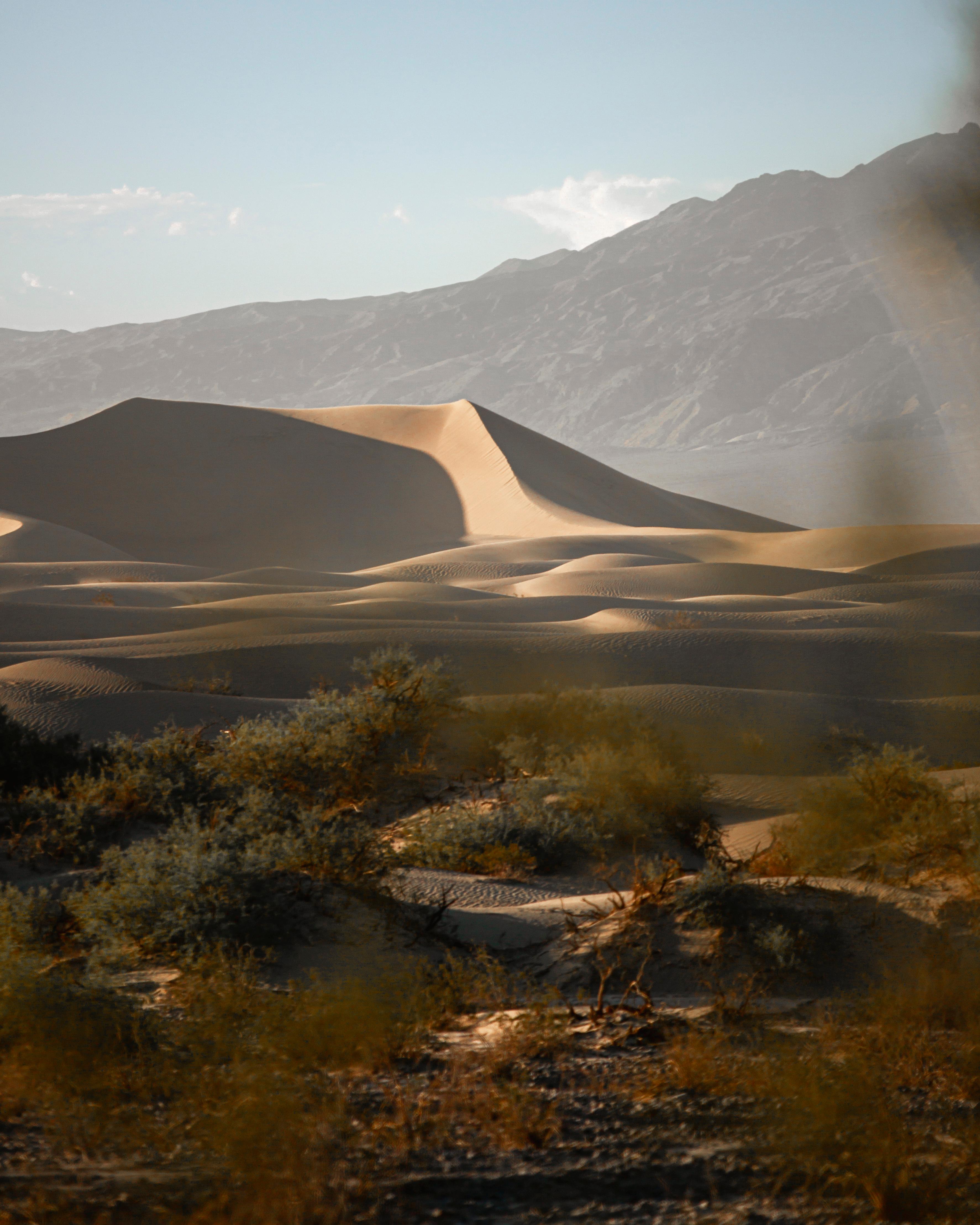
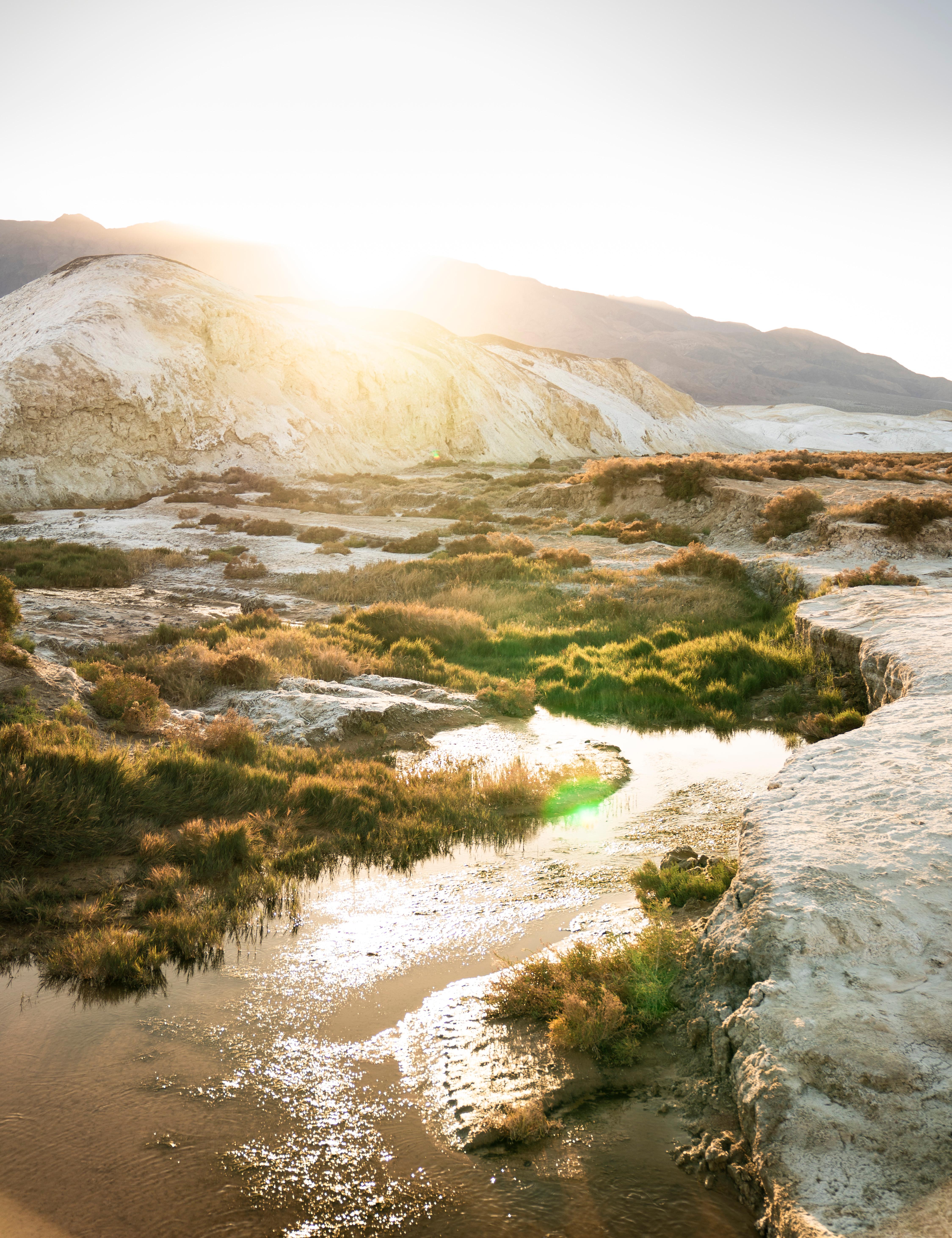
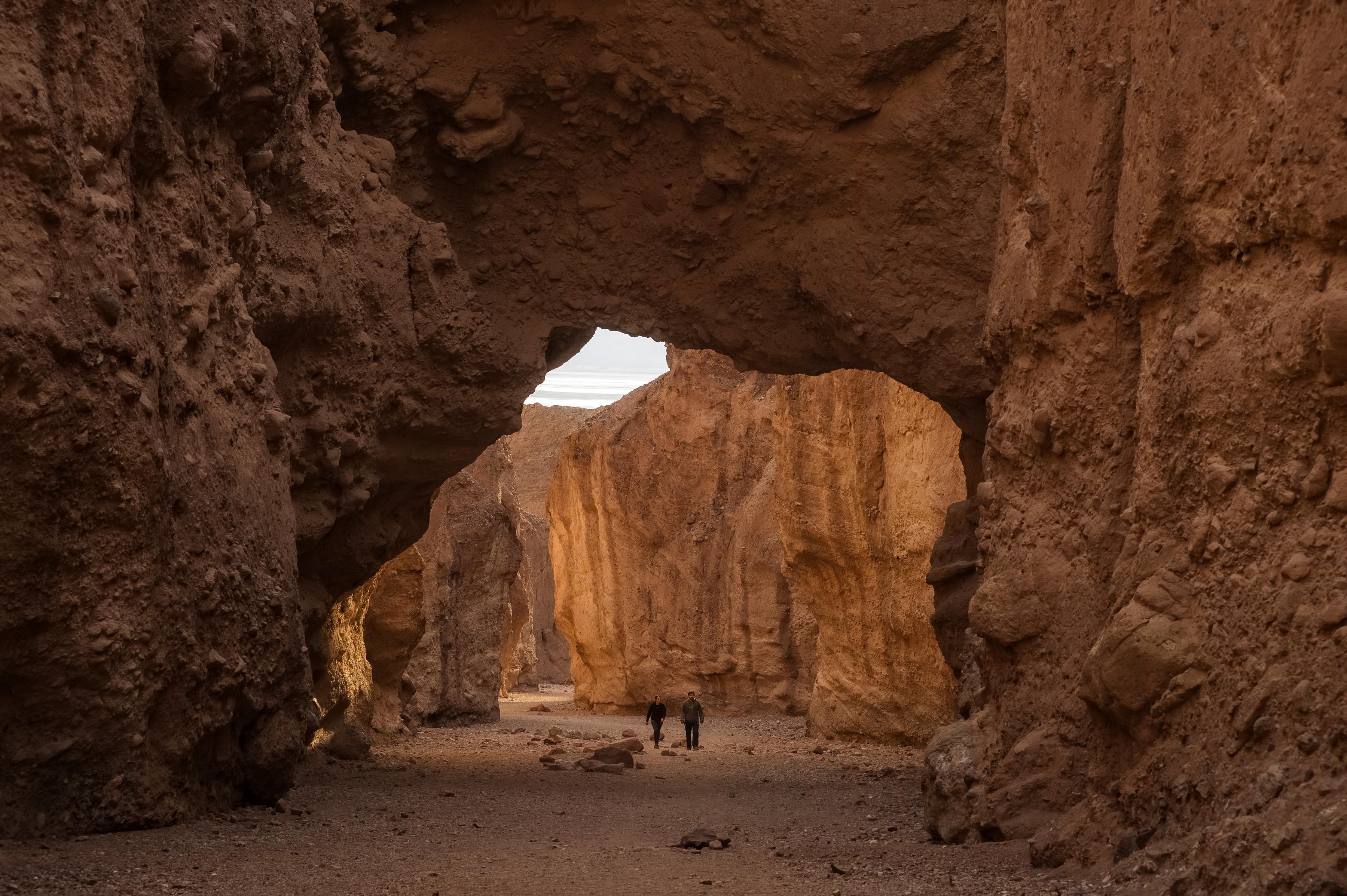
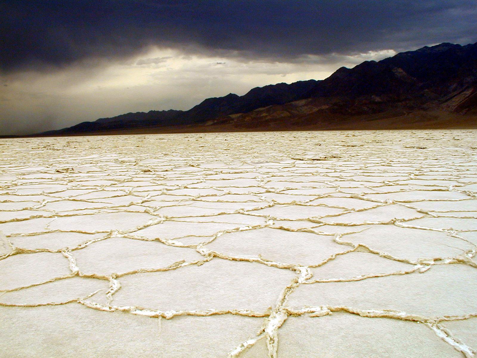
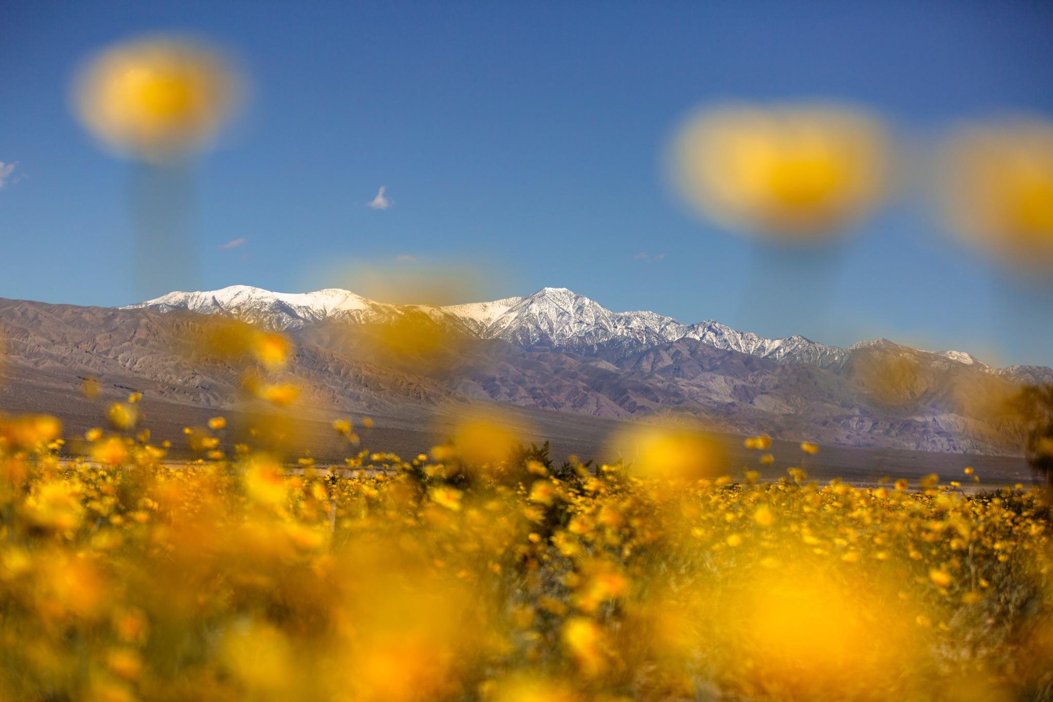
In this below-sea-level basin, steady drought and record summer heat make Death Valley a land of extremes. Yet, each extreme has a striking contrast. Towering peaks are frosted with winter snow. Rare rainstorms bring vast fields of wildflowers. Lush oases harbor tiny fish and refuge for wildlife and humans. Despite its morbid name, a great diversity of life thrives in Death Valley.
Death Valley National Park is a national park of the United States that straddles the California–Nevada border, east of the Sierra Nevada. The park boundaries include Death Valley, the northern section of Panamint Valley, the southern section of Eureka Valley and most of Saline Valley.
There are multiple entrances to the park. Click below to learn the best ways to travel to Death Valley.
SPRING is the most popular time to visit Death Valley. Warm and sunny days with the possibility of spring wildflowers is a big attraction. SUMMER starts early in Death Valley. By May the valley can be scorching hot. AUTUMN arrives in late October, with warm but pleasant temperatures and generally clear skies. WINTER has cool days, chilly nights and rarely, rainstorms. With snow capping the high peaks and low angled winter light, this season is especially beautiful for exploring the valley.
Source: National Park Service
All visitors, including Non-US residents, may purchase and utilize this entrance fee.
All visitors, including Non-US residents, may purchase and utilize this entrance fee.
All visitors, including Non-US residents, may purchase and utilize this entrance fee.
1 - 15 Passenger Vehicle: $15 per person. In addition to the entrance fees listed below, additional permits are required for commercial groups, special park uses (weddings, memorialization, group events, etc.), commercial film and photogra…
Park facts, fees, and activities confirmed against the National Park Service registry.
National Park Service registryChecked 2026-08-04
- Explore Wildflowers in Death Valley
Learn about the different flowers you might be able to see in Death Valley during spring months.
- Visit the Furnace Creek Visitor Center
Stop by the visitor center to speak with park rangers and pay park fees and purchase national park passes. View the exhibits about Death Valley's history and natural wonders. Watch the park film, which is 20 minutes in length and plays throughout the day.
- Bird Watching
Roadrunners and ravens and hummingbirds- oh my! With many resident and migratory species, bird watching opportunities abound in Death Valley.
- Harmony Borax Works Self Guided Walk
Harmony Borax Works was instrumental in drawing people to Death Valley in the late 1800s and in the subsequent popularity of the Furnace Creek area.
- Drive Twenty Mule Team Canyon
A short scenic drive along an unpaved road through colorful badlands.
- Tour Artists Drive
Enjoy a scenic drive through a geologic rainbow! Artists Drive is a one-way, nine mile (14.5 km) drive which passes through eroded, colorful desert hills. Artists Palette (a viewpoint) has the most colorful scenery along the road.
- Experience Death Valley at Night
Death Valley is just as spectacular at night as it is during the day- learn about a few ways you can explore the park after dark.
- Running in Death Valley
Go for a run in Death Valley! The park can be a very interesting and challenging place to test your road running or trail running abilities. Over 1,000 miles of paved and dirt roads, plus almost endless cross country opportunities await you. To enjoy the park safely, please run in the cooler months.
Source: National Park Service
Where is Death Valley National Park?
Death Valley National Park is in California · Nevada.
When was Death Valley National Park established?
Death Valley National Park was established in 1994.
How big is Death Valley National Park?
Death Valley National Park covers 5,326 square miles (3,408,396 acres).
How much does it cost to enter Death Valley National Park?
Death Valley National Park charges $30 per private vehicle. Other rates apply to motorcycles, cyclists and walk-ins, and some parks add their own reservation or surcharge on top.
Can you camp in Death Valley National Park?
Yes. The National Park Service runs 12 campgrounds in Death Valley National Park, with 782 campsites between them.
Does Death Valley National Park have a visitor center?
Yes. Death Valley National Park has 2 visitor centers: Furnace Creek Visitor Center, Stovepipe Wells Ranger Station.
Day trips start here
- Death Valley National Park · 13 mi
Drive Death Valley with Byway
Byway plans the scenic day around Death Valley — real places, real weather, every stop verified. Zero hallucinations. Google Maps for turns. Byway for soul.