Gates of the Arctic National Park

Official park boundary · National Park Service
Take the scenic way to Gates of the Arctic National Park.
Byway plans around your taste, verified places, real weather and opening hours — then opens every leg in Google Maps with one tap.
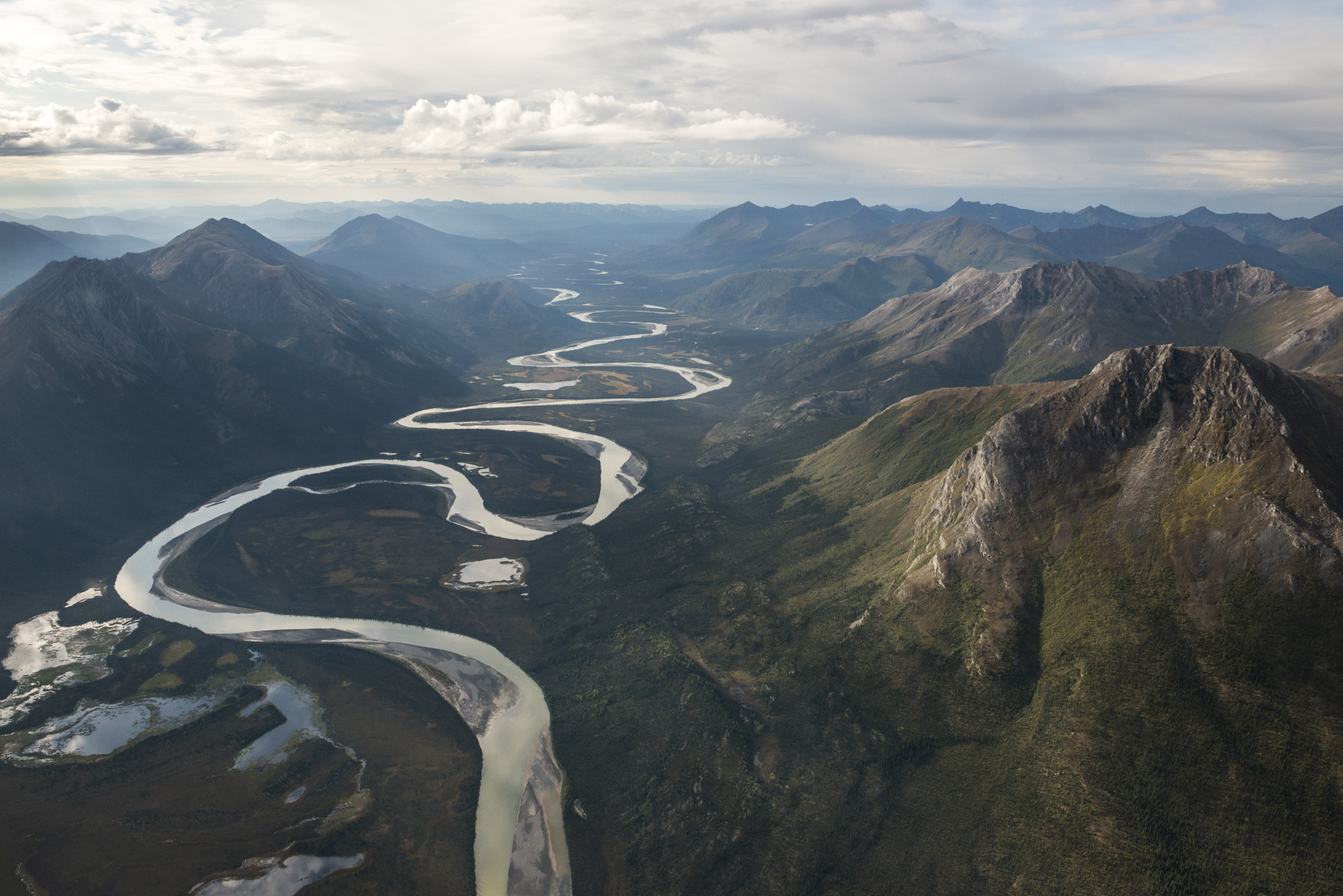
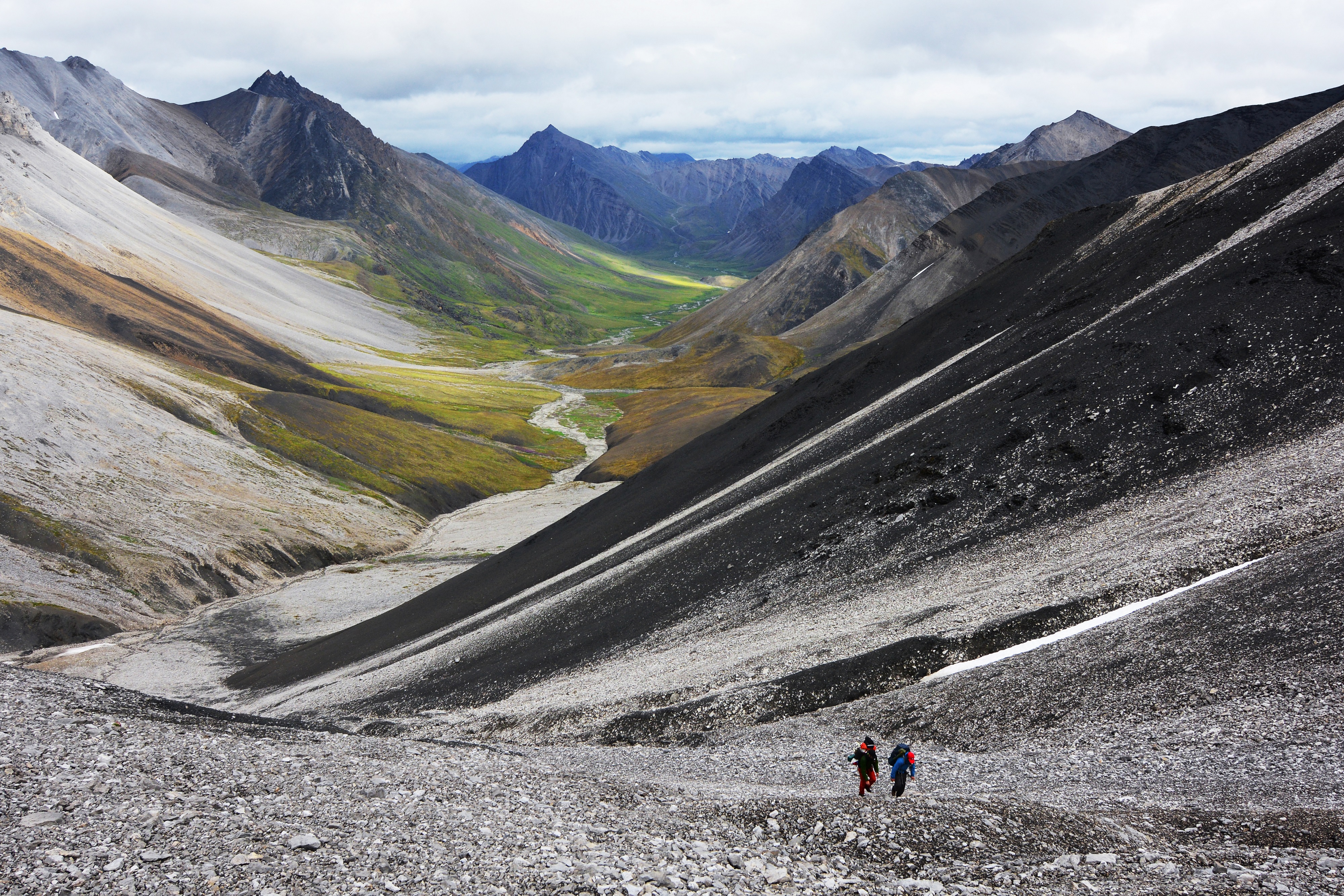
This vast landscape does not contain any roads or trails. Visitors discover intact ecosystems where people have lived with the land for over ten thousand years. Wild rivers meander through glacier-carved valleys, caribou migrate along age-old trails, endless summer light fades into aurora-lit night skies of winter. Virtually unchanged, except by the forces of nature.
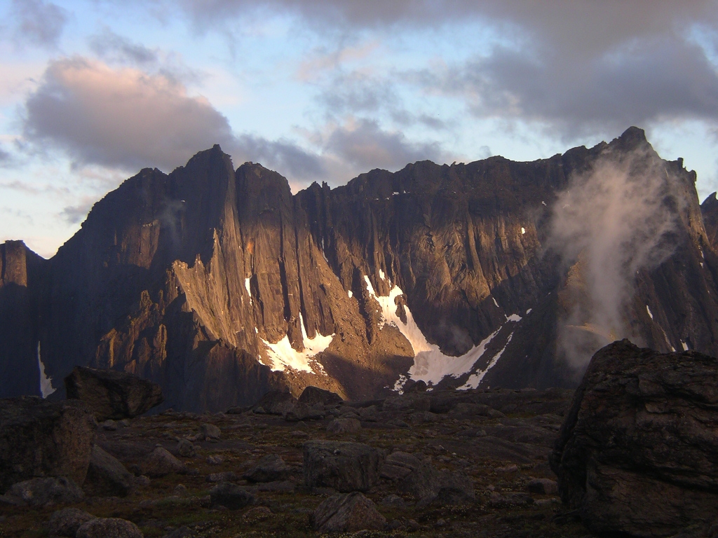
Gates of the Arctic National Park and Preserve is a national park of the United States that protects portions of the Central Brooks Range in northern Alaska. The park is the northernmost national park in the United States, situated entirely north of the Arctic Circle. The area of the park and preserve is the second largest in the U.S. at 8,472,506 acres ; the national park portion is the second largest in the U.S., after the national park portion of Wrangell–St. Elias National Park and Preserve.
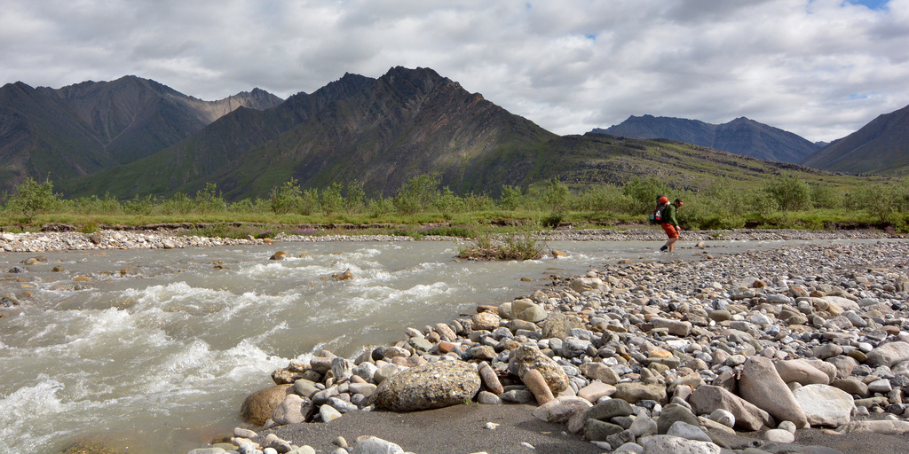
Gates of the Arctic is a wilderness park, with no roads or trails into the park lands, so visitors must fly or hike into the park. Access begins in Fairbanks, Alaska & there are several small airlines that provide daily flights into the communities of Bettles, Anaktuvuk Pass, and Coldfoot. Most visitors access the park by air taxi or hike in from the Dalton Highway or from the village of Anaktuvuk Pass. River crossings are necessary from both locations.
The climate of Gates of the Arctic National Park & Preserve is generally classified as arctic and sub-arctic, with exceptionally cold winters, relatively mild summers, low annual precipitation, and generally high winds. The weather is influenced by many different systems, and can change rapidly.!!
Source: National Park Service
Park facts, fees, and activities confirmed against the National Park Service registry.
National Park Service registryChecked 2026-08-04
- Backpack the Brooks Range's Arctic Wilderness
Traveling through the park on foot affords opportunities of exploration and discovery. Mountain ridges and passes reveal splendid vistas and can take you to the most remote and least traveled areas of the entire National Parks system.
- Float a Wild & Scenic River
From wide glacial valleys to sweeping vistas in the headwaters, to rolling tundra, the wild rivers of Gates of the Arctic can take you on an adventure you’ll never forget. Rivers have been byways for wildlife and humans for centuries.
Source: National Park Service
Where is Gates of the Arctic National Park?
Gates of the Arctic National Park is in Alaska.
When was Gates of the Arctic National Park established?
Gates of the Arctic National Park was established in 1980.
How big is Gates of the Arctic National Park?
Gates of the Arctic National Park covers 11,756 square miles (7,523,897 acres).
Does Gates of the Arctic National Park have a visitor center?
Yes. Gates of the Arctic National Park has 4 visitor centers: Anaktuvuk Pass Ranger Station, Arctic Interagency Visitor Center, Bettles Ranger Station and Visitor Center, Fairbanks Alaska Public Lands Information Center.
Drive Gates of the Arctic with Byway
Byway plans the scenic day around Gates of the Arctic — real places, real weather, every stop verified. Zero hallucinations. Google Maps for turns. Byway for soul.