Great Basin National Park

Official park boundary · National Park Service
Take the scenic way to Great Basin National Park.
Byway plans around your taste, verified places, real weather and opening hours — then opens every leg in Google Maps with one tap.
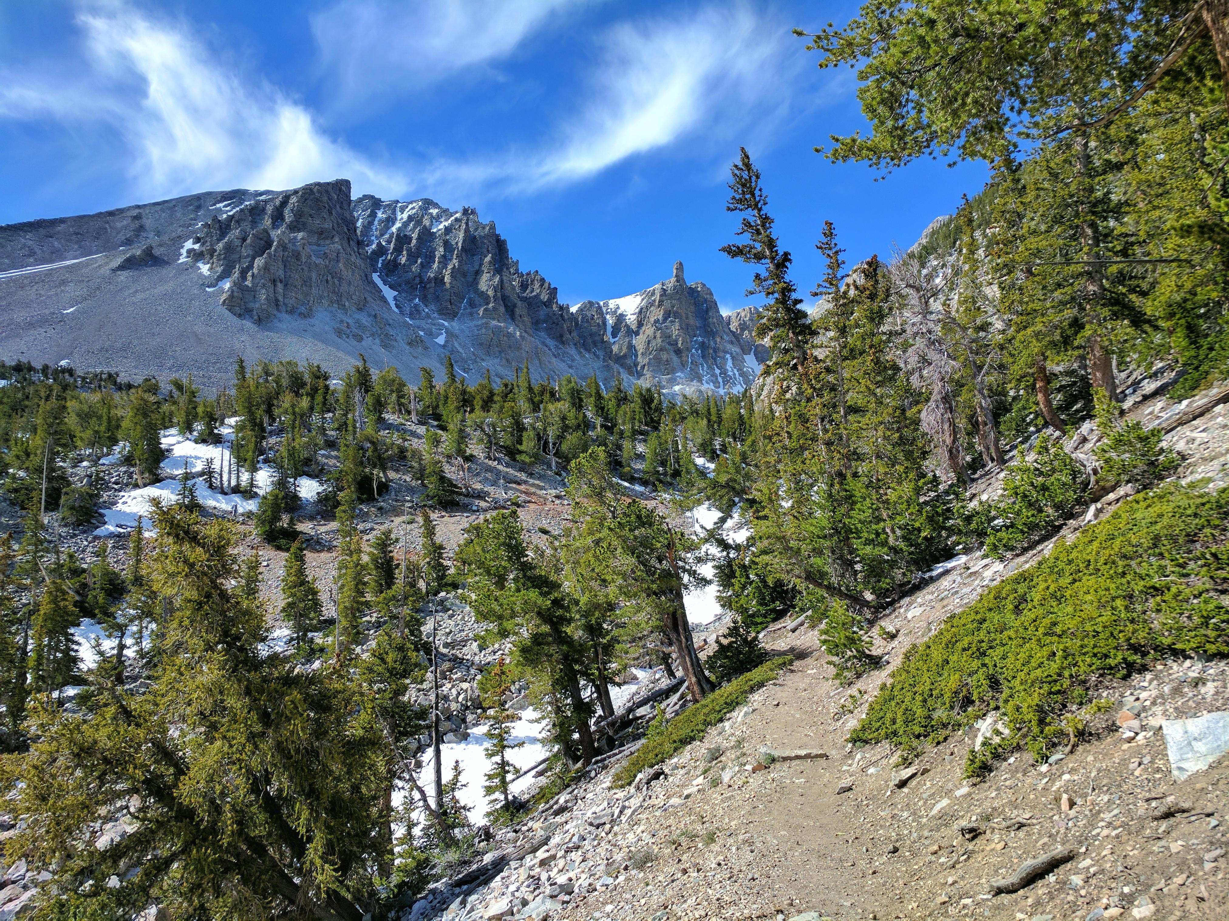
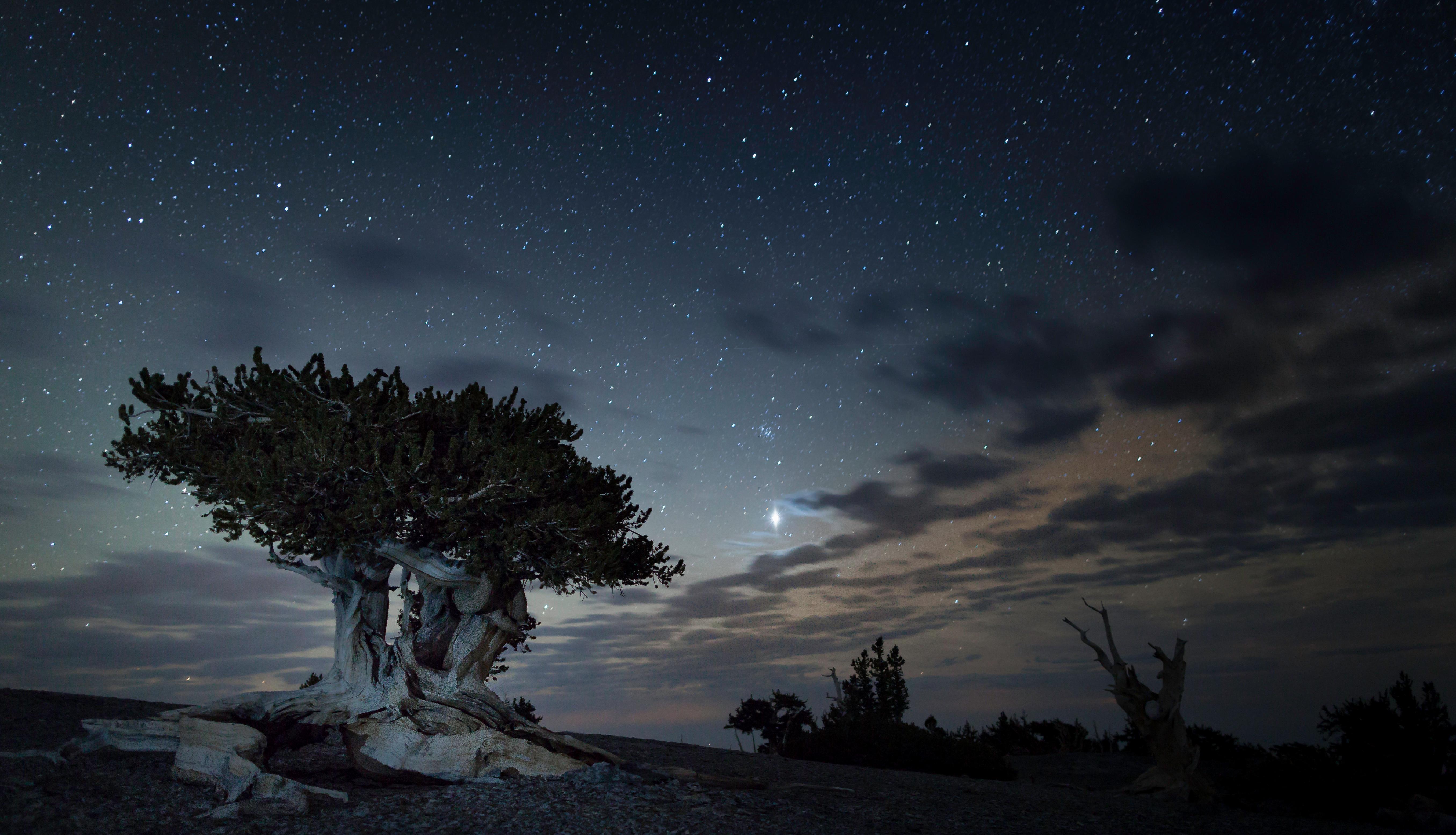
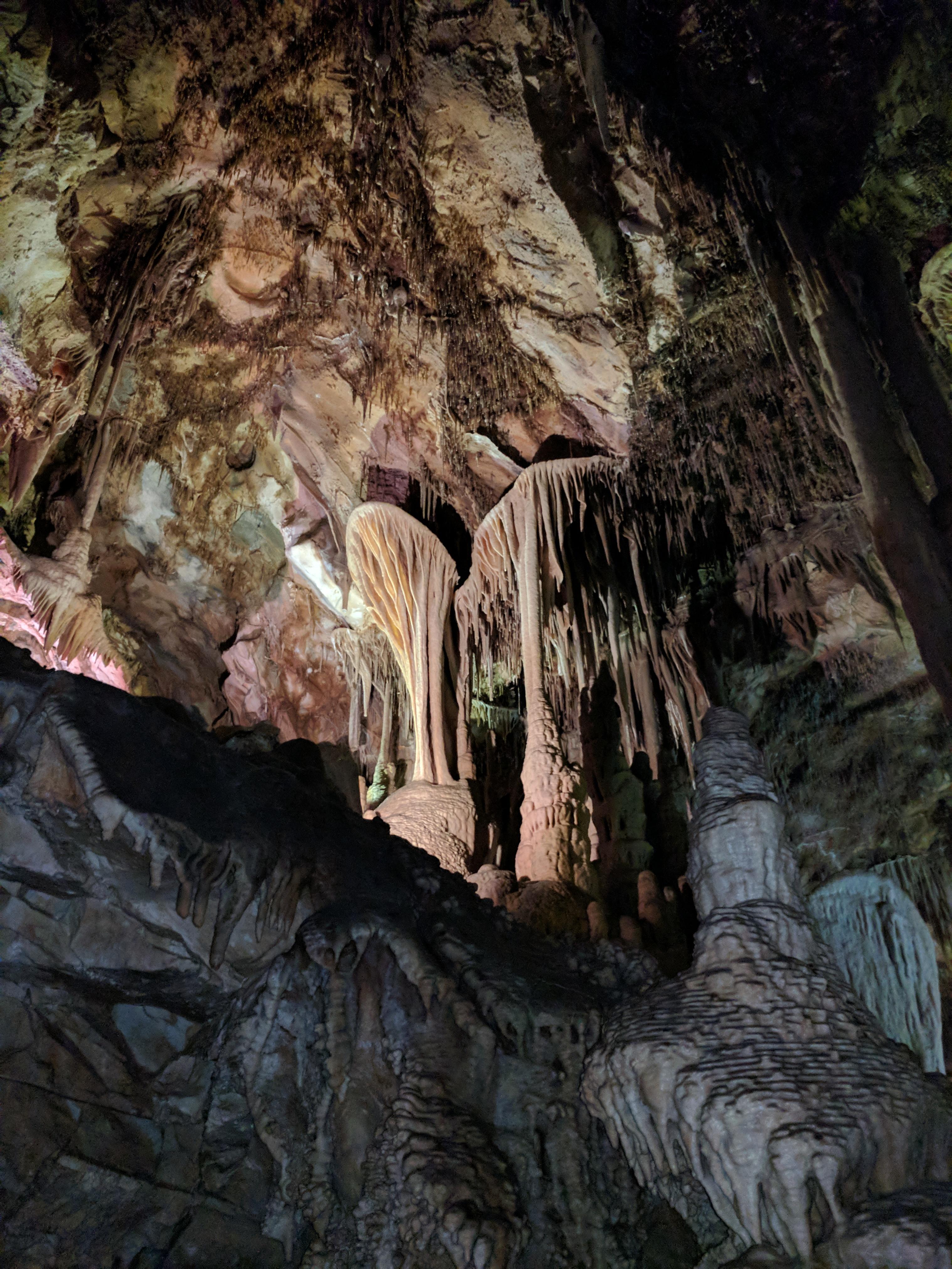
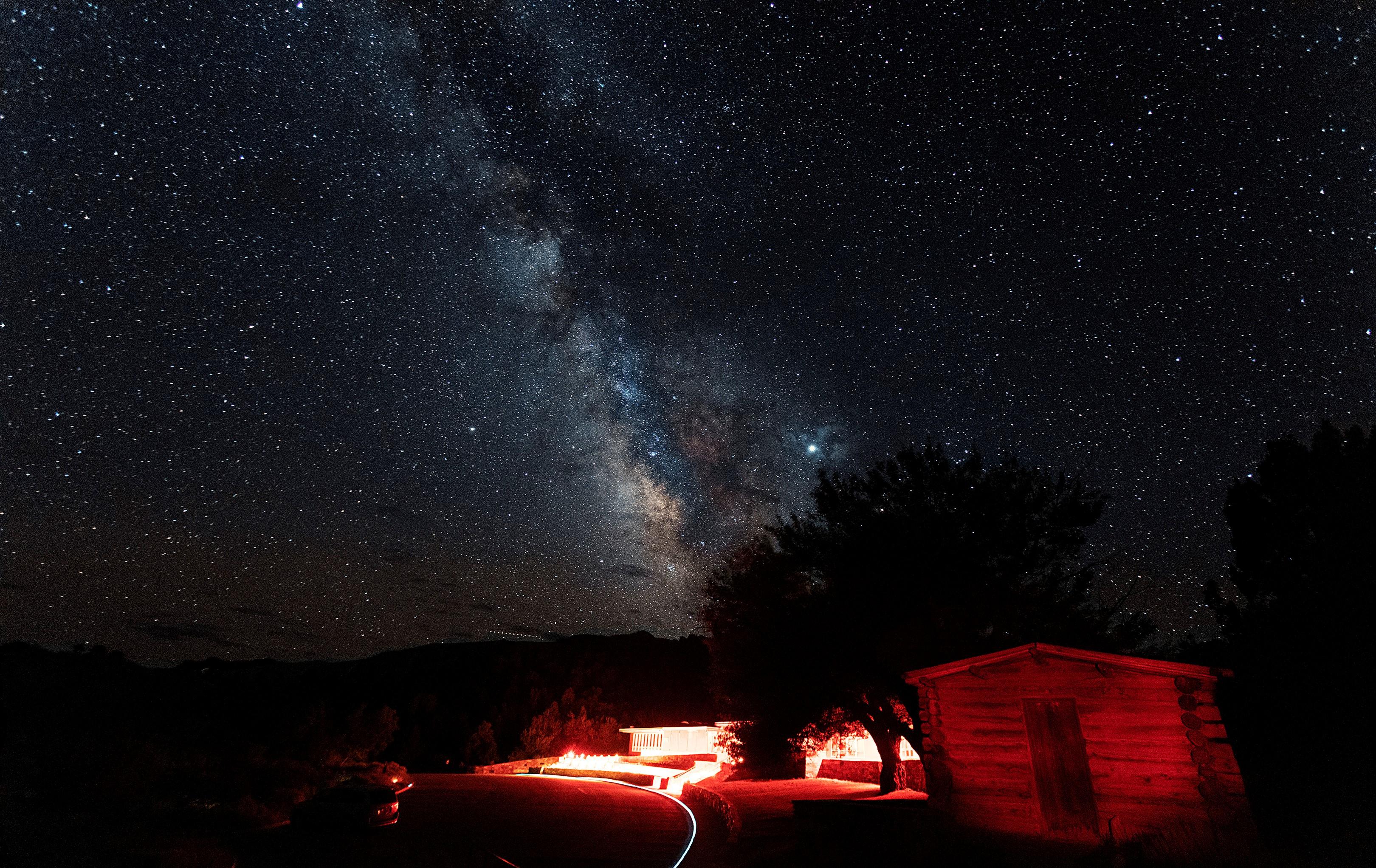
From the 13,063-foot summit of Wheeler Peak to the sagebrush-covered foothills, Great Basin National Park hosts a sample of the incredible diversity of the larger Great Basin region. Come and partake of the solitude of the wilderness, walk among ancient bristlecone pines, bask in the darkest of night skies, and explore mysterious subterranean passages. There's a lot more than just desert here.
Great Basin National Park is a national park of the United States located in White Pine County in east-central Nevada, near the Utah border. Established 40 years ago in 1986, the park is most commonly entered by way of Nevada State Route 488, which is connected to U.S. Routes 6 and 50 by Nevada State Route 487 via the small town of Baker, the closest settlement.
From the East or West: From U.S. Highway 6 & 50, turn south on Nevada State Highway 487 and travel 5 miles to Baker, NV. In Baker turn west on Highway 488 and travel 5 miles to the park. From the South (Utah): Travel north on Utah State Highway 21 through Milford, UT and Garrison, UT, Highway 487. Turn west on Highway 488 in Baker and travel 5 miles to the park. From the South (Nevada): Travel north on U.S. Highway 93. No public transportation is available to, or in, Great Basin National Park.
There is almost an 8,000 ft (2,400 m) difference in elevation between Wheeler Peak and the valley floor. Weather conditions in the park vary with elevation. In late spring and early summer, days in the valley may be hot, yet the snow pack may not have melted in the higher elevations. The Great Basin is a desert, with low relative humidity and sharp drops in temperature at night. In the summer, fierce afternoon thunderstorms are common. It can snow any time of the year at high elevations.
Source: National Park Service
Park facts, fees, and activities confirmed against the National Park Service registry.
National Park Service registryChecked 2026-08-04
- Hike to the Wheeler Peak Bristlecone Grove
The Bristlecone Trail is not to be missed on a visit to the park. This 2.8-mile round-trip hike takes visitors through some of the oldest organisms on Earth, and offers opportunities for introspection as you consider your place in the universe.
- Become a Great Basin National Park Junior Ranger
Great Basin Junior Ranger
- Lehman Caves Tour
Lehman Caves Tours
- Hike to Lexington Arch
Hike 5.6 miles through shrubland to see one of the largest limestone arches in the world. Find plenty of peace on this lesser traveled trail. Lexington Arch is also the only park trail that allows dogs, so bring your pet for an excursion to this remote corner of the park.
- Hike the Upper Strawberry Trail
The meadows of the Sage Steppe Loop combined with moderate difficulty ascending to a mountain saddle, the Upper Strawberry trail's 4.0 miles provides ample fall colors and plenty of running water.
- Hike the Sage Steppe Loop
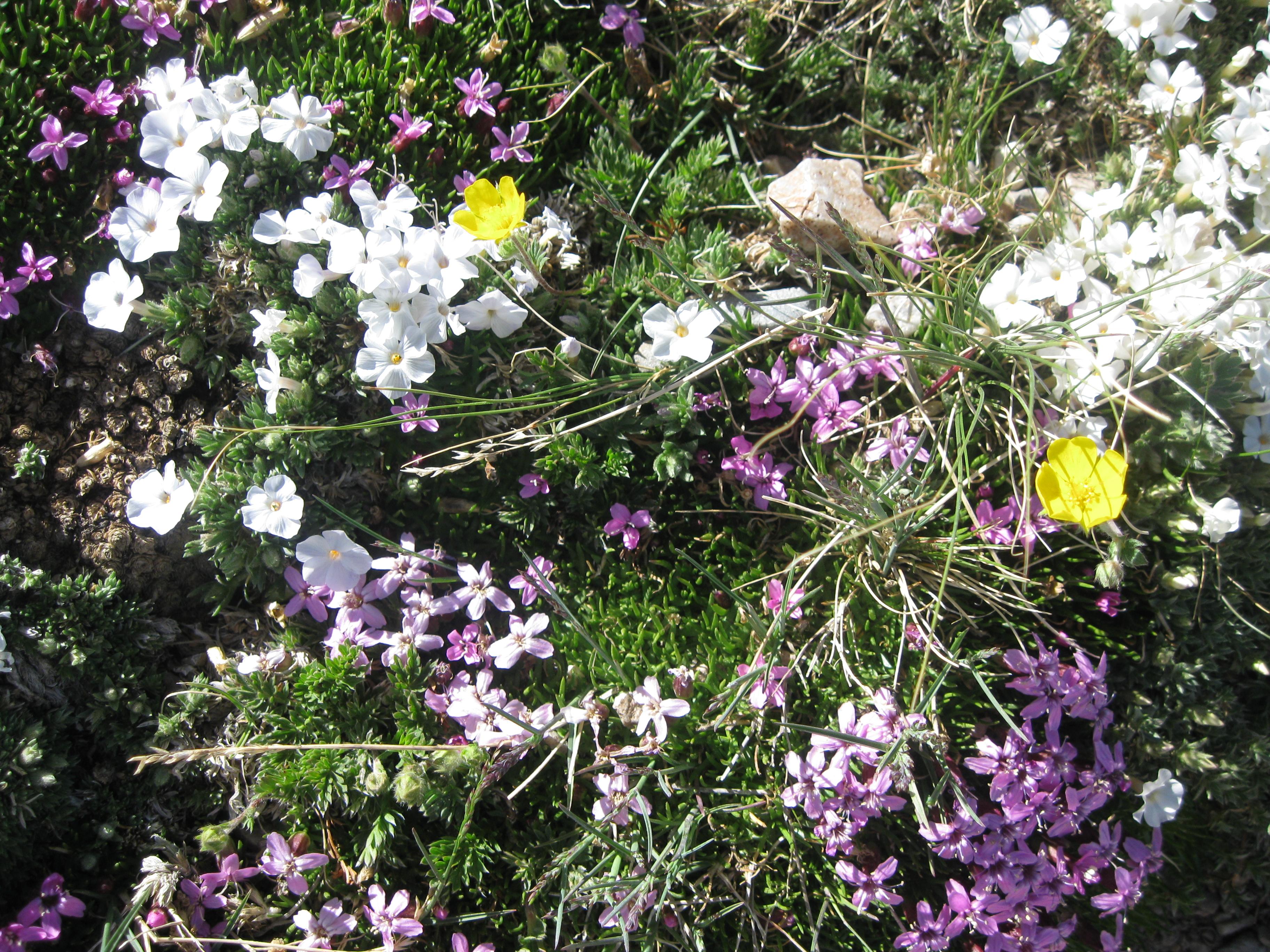
Wildlife, wildflowers, escapes from the heat, and an easy trail to boot. The Sage Steppe Loop is both a wonderful introduction to the park and a great chance to get away from the crowds.
- Hike the Serviceberry Trail
The 3.2 mile Serviceberry Loop is a wonderful loop trail through serviceberry, rabbitbrush, and sagebrush, giving plentiful views of unique Great Basin geology. This moderate trail is a great introduction to the Snake Creek area and its unique offerings.
- Hike the Big Wash Trail
Big Wash is perhaps the most difficult and least travelled trail in the park. be prepared for a long 20.6 mile journey through shrubland and heat in the summer, but one of the most incredible experiences available with the isolation it brings.
Source: National Park Service
Where is Great Basin National Park?
Great Basin National Park is in Nevada.
When was Great Basin National Park established?
Great Basin National Park was established in 1986.
How big is Great Basin National Park?
Great Basin National Park covers 121 square miles (77,180 acres).
Can you camp in Great Basin National Park?
Yes. The National Park Service runs 7 campgrounds in Great Basin National Park, with 145 campsites between them.
Does Great Basin National Park have a visitor center?
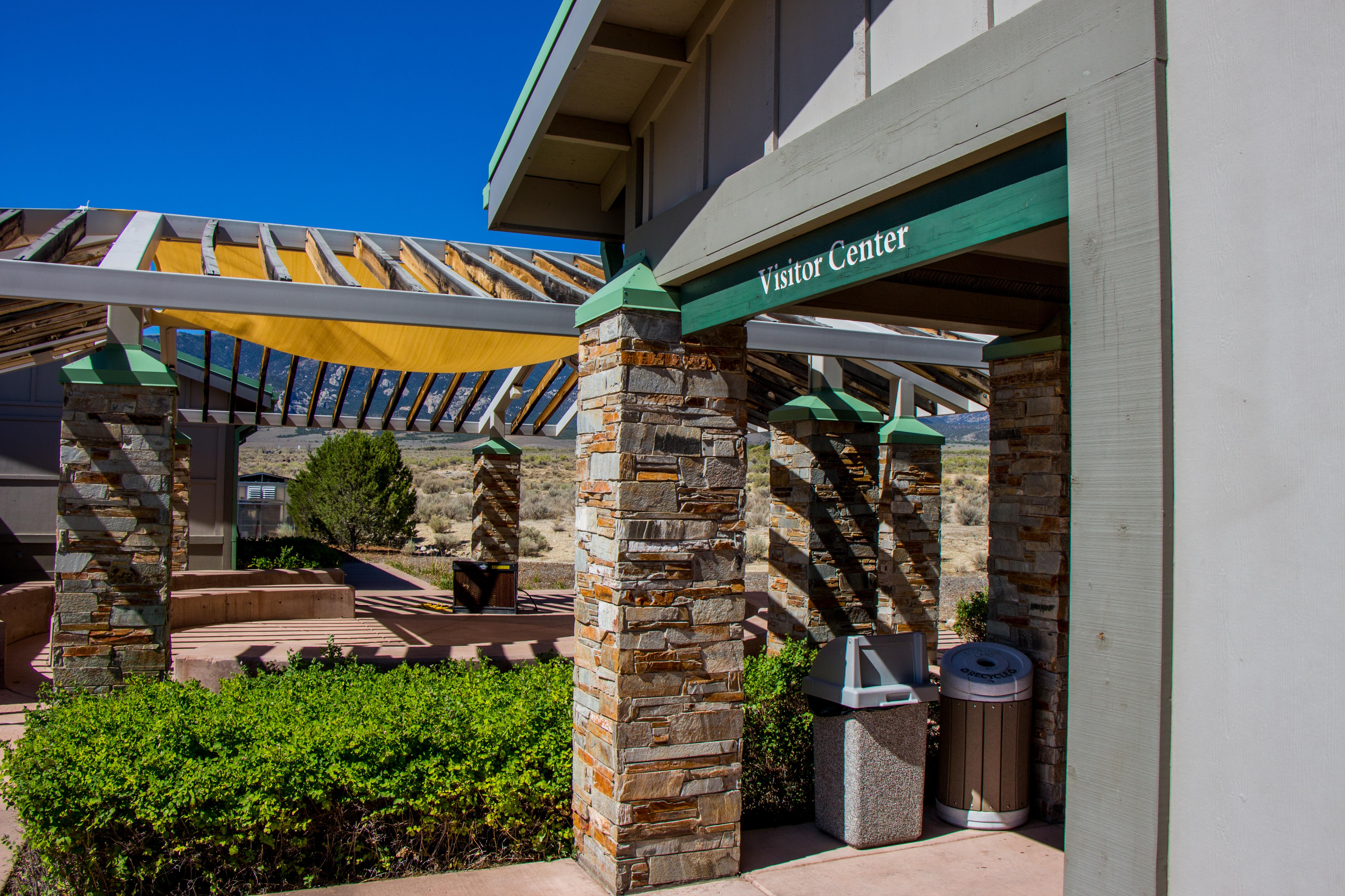
Yes. Great Basin National Park has 2 visitor centers: Great Basin Visitor Center, Lehman Caves Visitor Center.
Day trips start here
- Great Basin National Park · 0 mi
- Baker · 5 mi
Drive Great Basin with Byway
Byway plans the scenic day around Great Basin — real places, real weather, every stop verified. Zero hallucinations. Google Maps for turns. Byway for soul.