Hawaiʻi Volcanoes National Park

Official park boundary · National Park Service
Take the scenic way to Hawaiʻi Volcanoes National Park.
Byway plans around your taste, verified places, real weather and opening hours — then opens every leg in Google Maps with one tap.
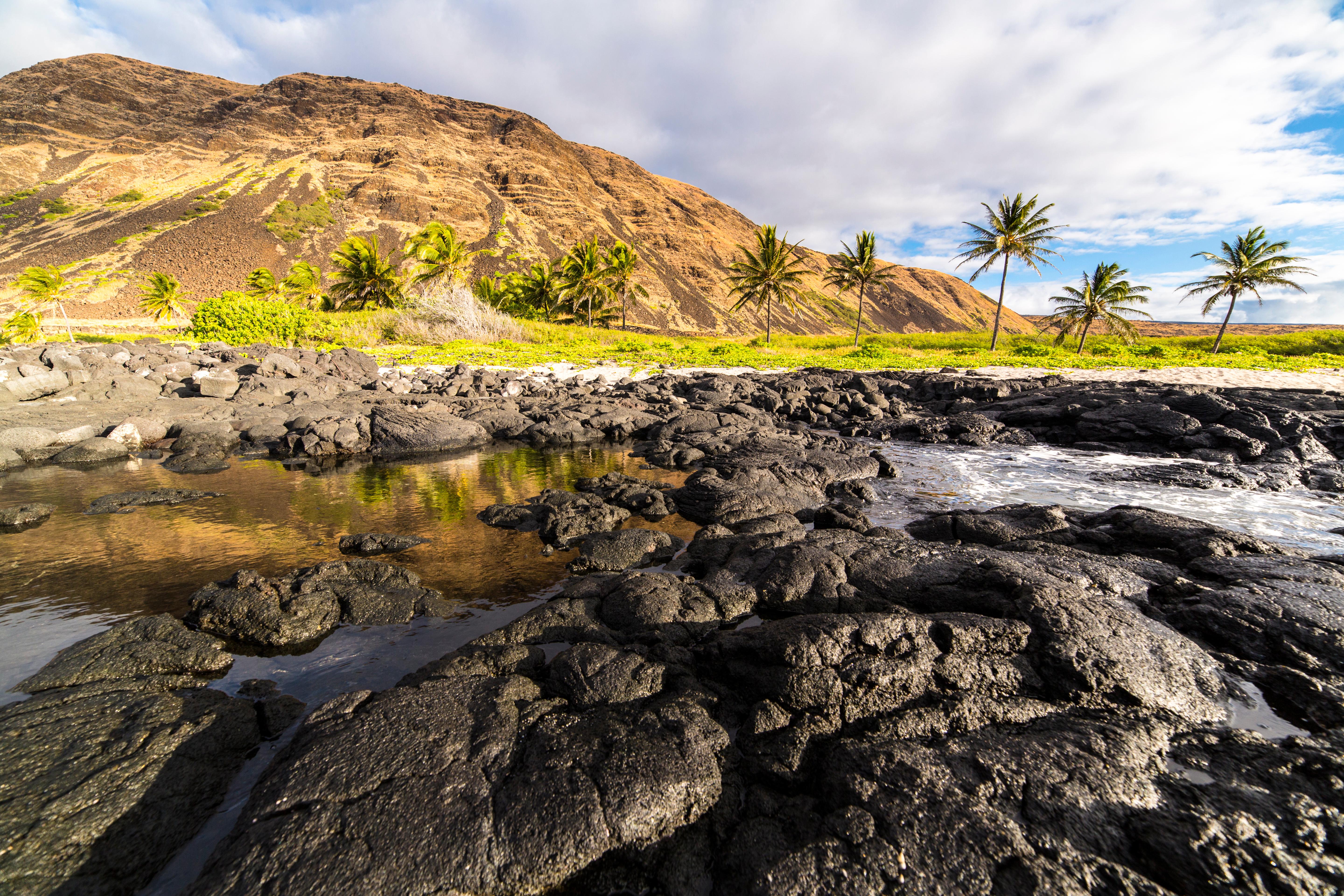
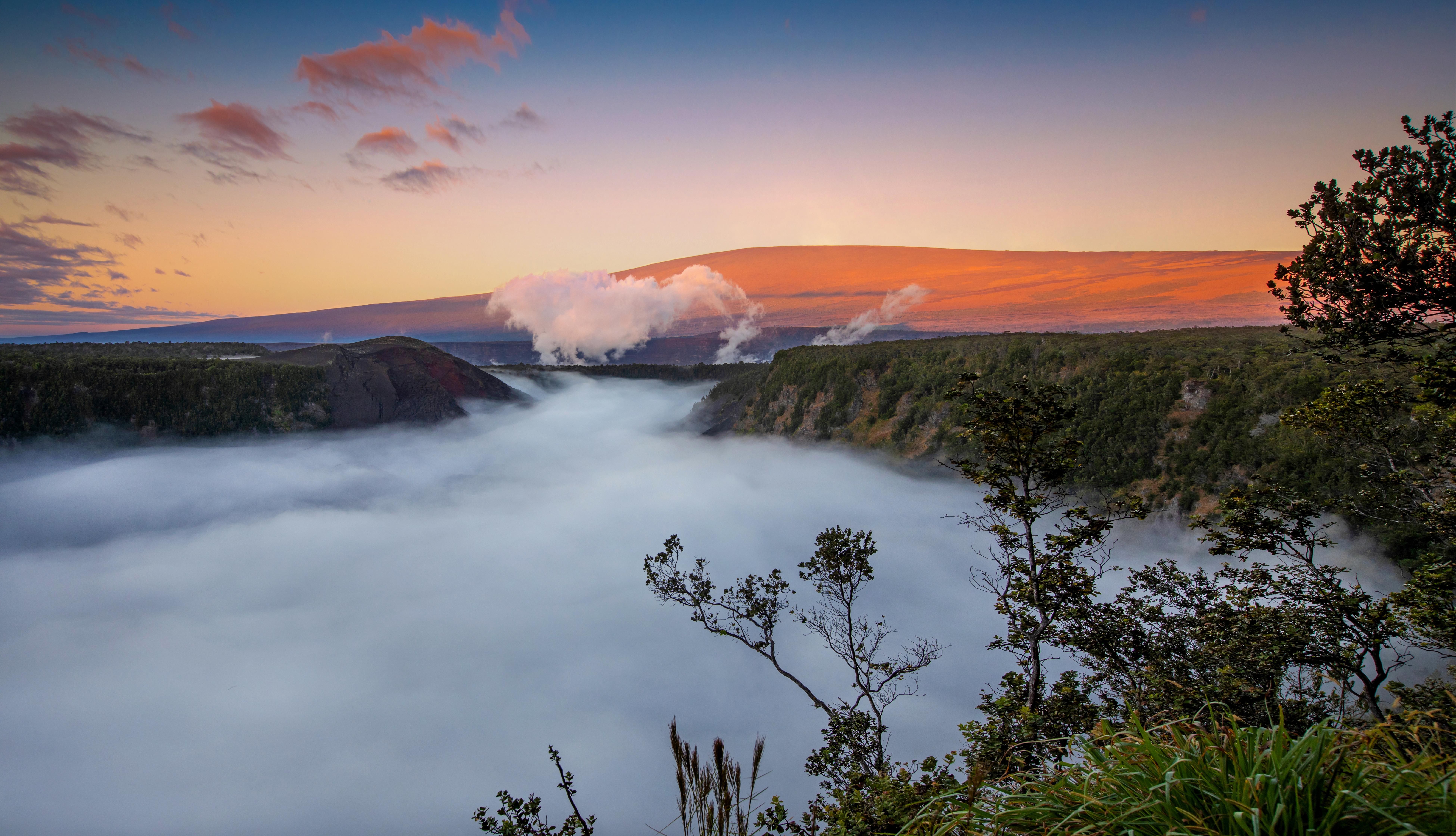
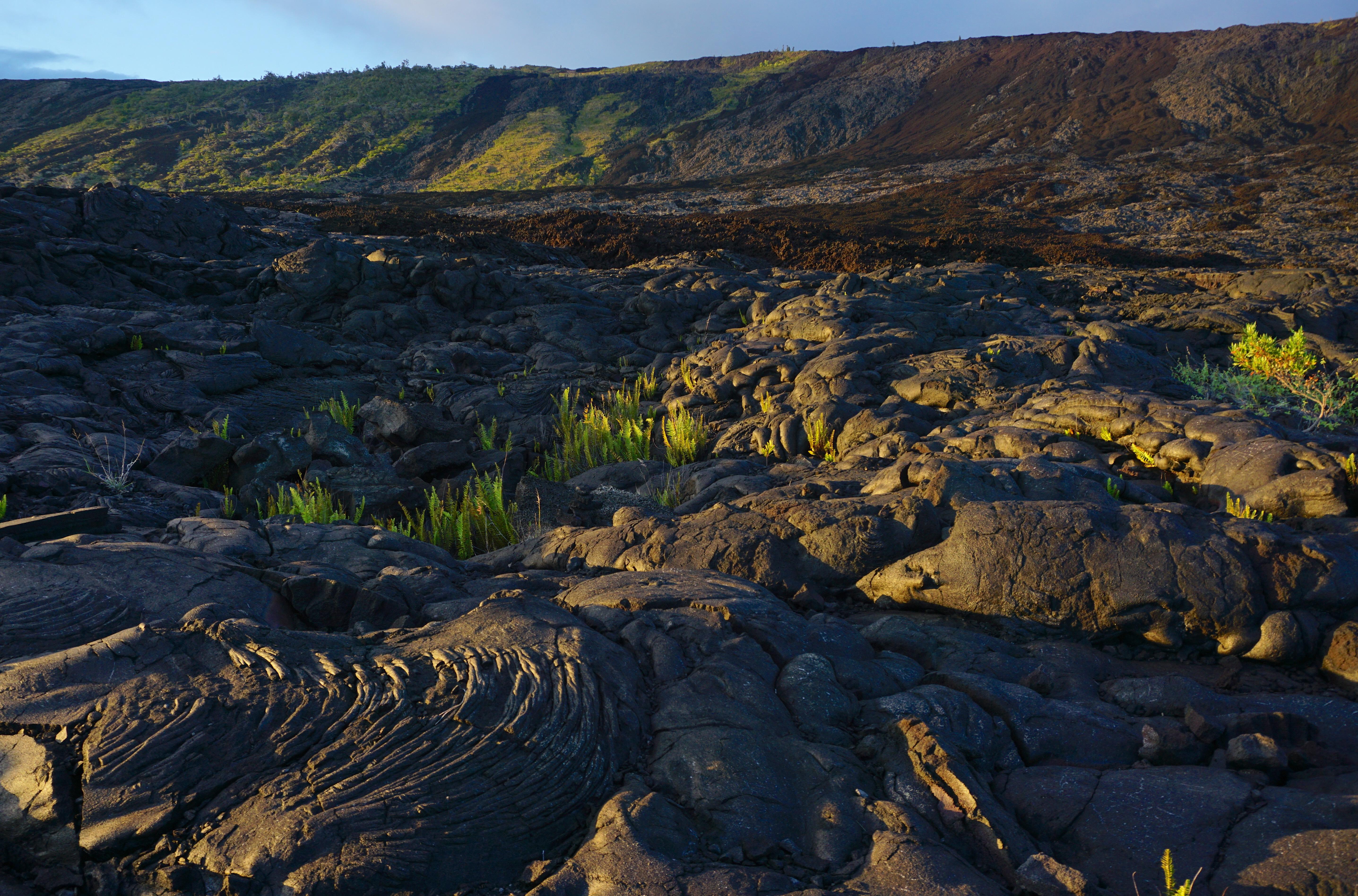
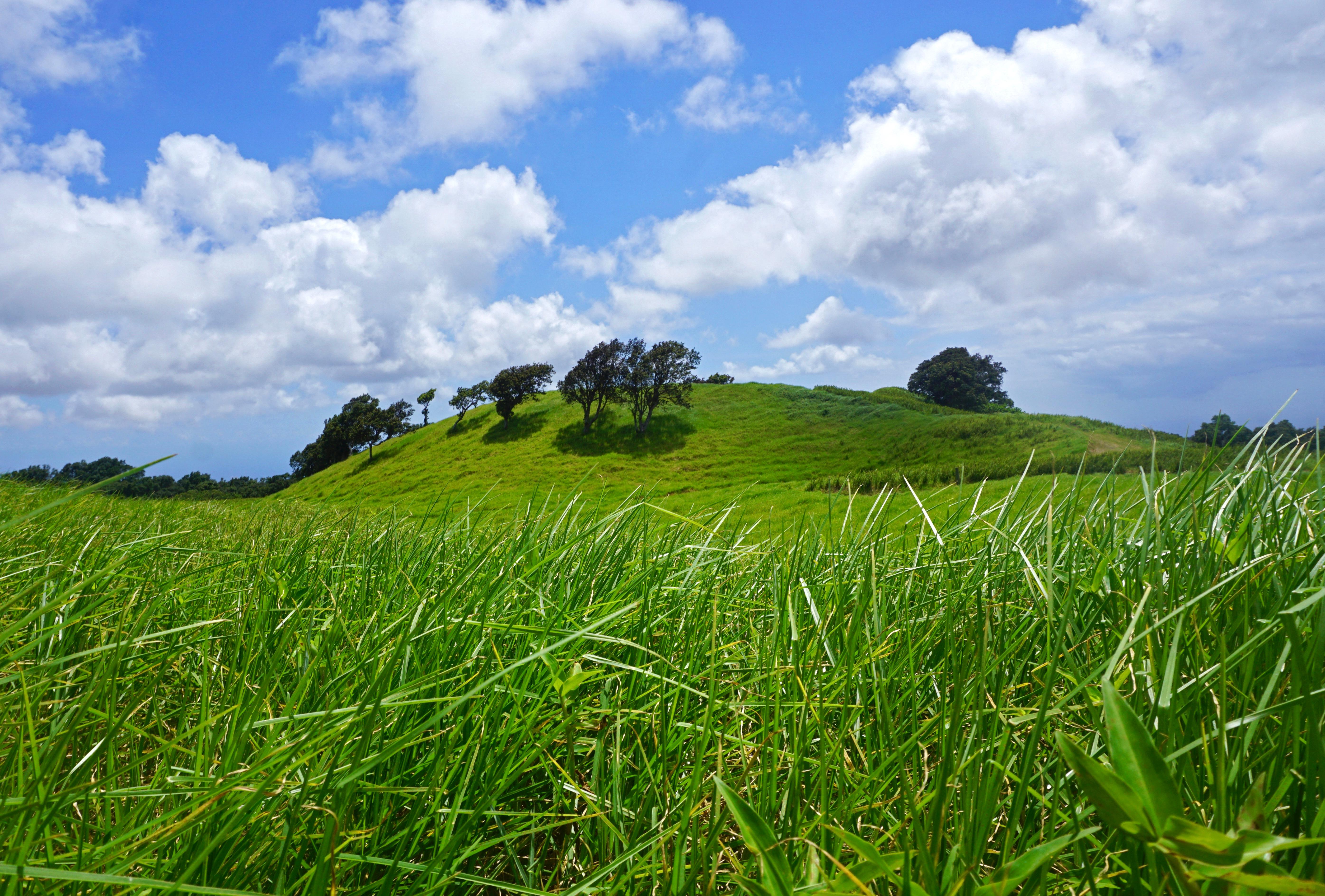
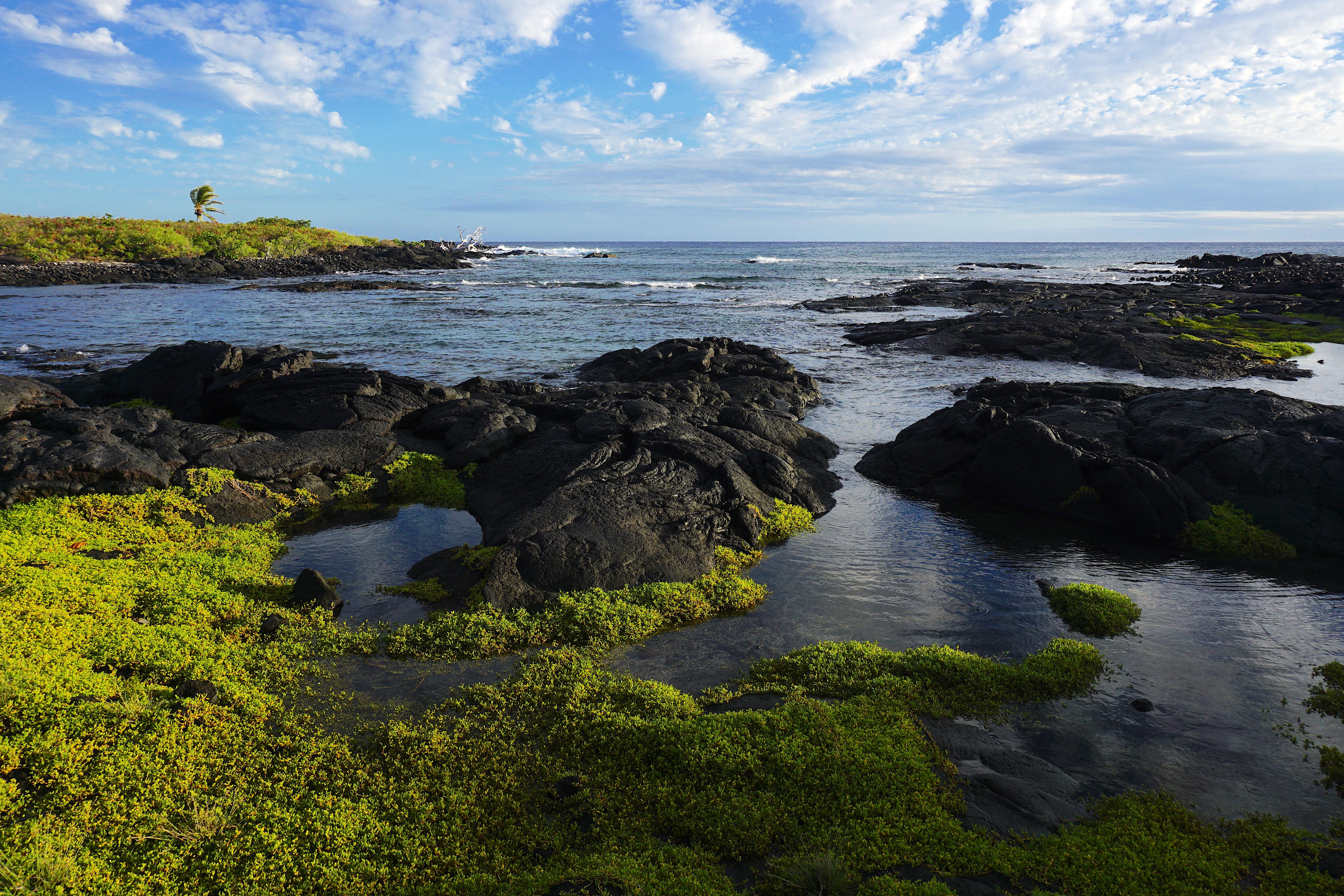
Hawai‘i Volcanoes National Park protects some of the most unique geological, biological, and cherished cultural landscapes in the world. Extending from sea level to 13,680 feet, the park encompasses the summits of two of the world's most active volcanoes - Kīlauea and Mauna Loa - and is a designated International Biosphere Reserve and UNESCO World Heritage Site.
Hawaiʻi Volcanoes National Park is a national park of the United States, located on the island of Hawaiʻi in the state of Hawaii. The park encompasses two active volcanoes: Kīlauea, one of the world's most active volcanoes, and Mauna Loa, the world's largest shield volcano. The park provides scientists with insight into the development of the Hawaiian Islands and access for studies of volcanism. For visitors, the park offers dramatic volcanic landscapes, glimpses of rare flora and fauna, and a view into the traditional Hawaiian culture connected to these landscapes. The indigenous people of the park, "Kanaka Maoli", believed in living a life that did not take up resources. Volcanic eruptions are seen as sacred.
Hawai‘i Volcanoes National Park is located on the Island of Hawai‘i. From Hilo: 30 miles southwest on Highway 11 (45 minute drive); from Kailua-Kona: 96 miles southeast on Highway 11 (2 to 2.5 hour drive), or 125 miles through Waimea and Hilo via Highways 19 and 11 (2.5 to 3 hours).
The weather the summit of Kīlauea (~4000' elevation) varies daily and may be rainy and chilly any time of the year. Temperature varies by elevation. At the summit of the volcano, temperatures may be 12 to 15 degrees cooler than at sea level. The coastal plain at the end of Chain of Craters Road is often hot, dry, and windy with the possibility of passing showers.
Source: National Park Service
Private Vehicle Pass - The private vehicle pass admits the passholder and up to 14 passengers of a single, private (non-commercial) vehicle.
Valid for 7 days. Admits up to 2 private, non-commercial motorcycles with up to 4 total passengers.
Pedestrian/Cyclist Pass - Admits one individual bicyclist, hiker, or pedestrian visiting without a private vehicle. An individual pass is not required for visitors aged 15 and under.
The commercial entrance fee for a Road Based Guided Tour is based on vehicle seating capacity. For a 16-25 passenger vehicle the user fee is $100.
Park facts, fees, and activities confirmed against the National Park Service registry.
National Park Service registryChecked 2026-08-04
- Park Bookstore
Hawaiʻi Pacific Parks Association operates the official park bookstores at the Welcome Center and the Kahuku Unit.
- Hōlei Sea Arch
Walk a short distance to a view of dramatic sea cliffs and a 90-foot high arch sculpted by the sea.
- Haʻakulamanu via Sulphur Banks Trail
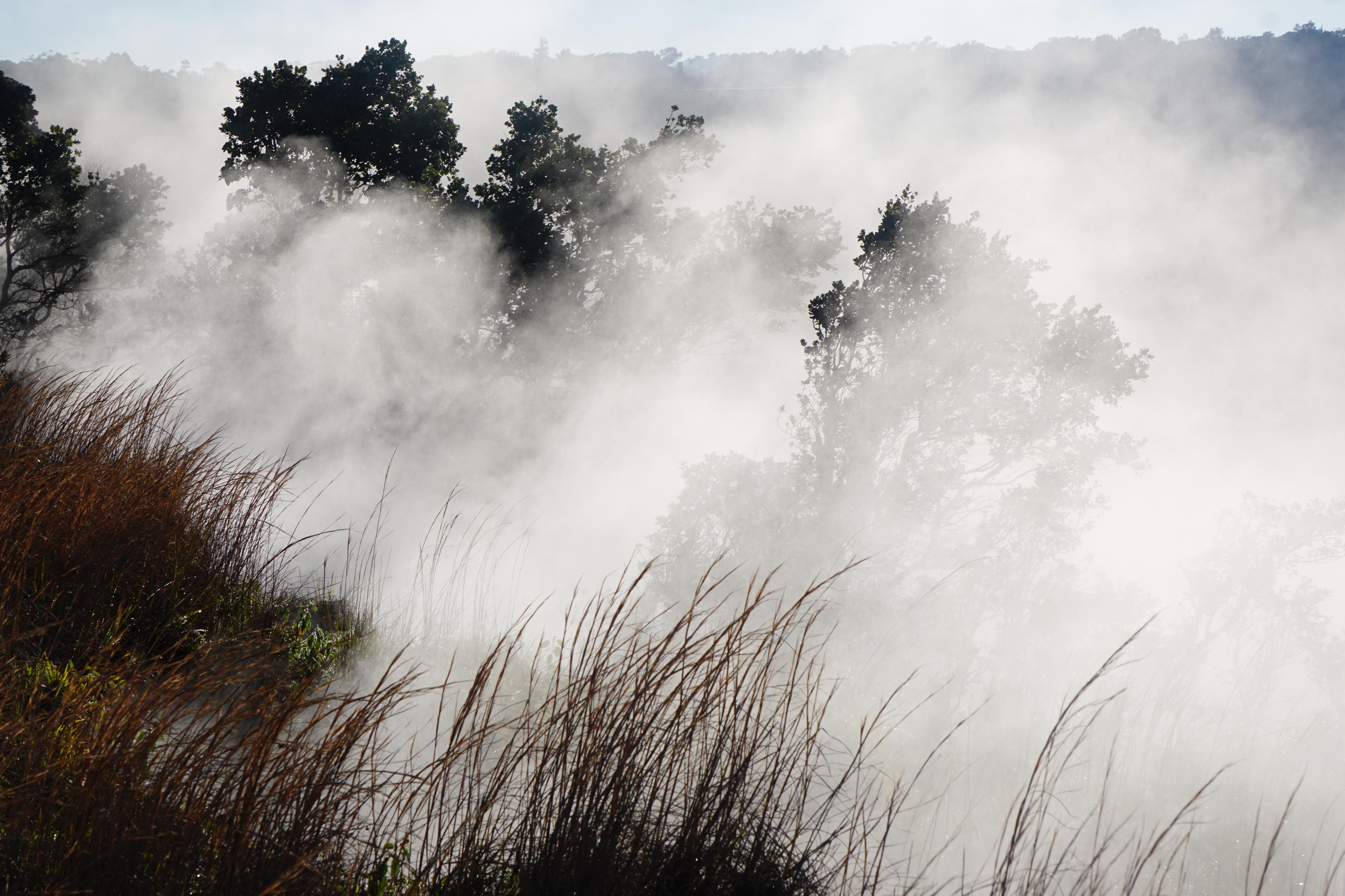
See where volcanic gases have deposited colorful crystals.
- Kūpinaʻi Pali (Waldron Ledge)
Walk along an old road damaged by an earthquake in 1983 and get panoramic views of Kaluapele
- Devastation Trail
Stroll on a paved path through a recovering landscape that was buried by falling cinder from the 1959 Kīlauea Iki eruption.
- Keanakākoʻi
Walk along an old portion of Crater Rim Drive to Keanakāko'i Crater and views toward the massive Halemaʻumaʻu.
- Footprints Area
Traverse the rugged Kaʻū Desert and see footprints left by Native Hawaiians long ago.
- Puʻuloa Petroglyphs Trail
Hike across a lava field to the largest group of petroglyphs in Hawaiʻi.
Source: National Park Service
Where is Hawaiʻi Volcanoes National Park?
Hawaiʻi Volcanoes National Park is in Hawaii.
When was Hawaiʻi Volcanoes National Park established?
Hawaiʻi Volcanoes National Park was established in 1916.
How big is Hawaiʻi Volcanoes National Park?
Hawaiʻi Volcanoes National Park covers 539 square miles (344,812 acres).
How much does it cost to enter Hawaiʻi Volcanoes National Park?
Hawaiʻi Volcanoes National Park charges $30 per private vehicle. Other rates apply to motorcycles, cyclists and walk-ins, and some parks add their own reservation or surcharge on top.
Can you camp in Hawaiʻi Volcanoes National Park?
Yes. The National Park Service runs 2 campgrounds in Hawaiʻi Volcanoes National Park, with 25 campsites between them.
Does Hawaiʻi Volcanoes National Park have a visitor center?
Yes. Hawaiʻi Volcanoes National Park has 2 visitor centers: Kahuku Visitor Contact Station, Welcome Center.
Day trips start here
- Hawaii Volcanoes National Park · 11 mi
- Hilo · 23 mi
- Big Island · 28 mi
Drive Hawaiʻi Volcanoes with Byway
Byway plans the scenic day around Hawaiʻi Volcanoes — real places, real weather, every stop verified. Zero hallucinations. Google Maps for turns. Byway for soul.