Ohanapecosh Campground
46.7361, -121.5667 · Park boundary: National Park Service
Make Ohanapecosh Campground part of the drive.
Byway plans around your taste, verified places, real weather and opening hours — then opens every leg in Google Maps with one tap.
Reservation detailsNOTE: The Ohanapecosh Campground will be CLOSED for the summer of 2026 as part of the Ohanapecosh Campground rehabilitation project. Ohanapecosh Campground is tucked in the forest along the banks of the Ohanapecosh River at an elevation of 1,914 feet. It is located in the southeast corner of the park along State Route 123. Trails that begin at the campground lead to Silver Falls and the Grove of the Patriarchs. Stop by the Ohanapecosh Visitor Center for information and exhibits.
- Every day
- All Day
NOTE: The Ohanapecosh Campground will be CLOSED for the summer of 2026 as part of the Ohanapecosh Campground rehabilitation project. Closed during the winter, the campground tends to open from late May to early October. Opening and closing dates can be affected by highly variable mountain weather and snow conditions. The number of sites available in the early season can also be affected by this. Open 24 hours a day during the summer, check-out time is at noon.
- Closed for 2026 · Apr 1, 2026 – Dec 1, 2026 · Closed
- Closed Seasonally · Oct 12, 2026 – Jun 13, 2027 · Closed
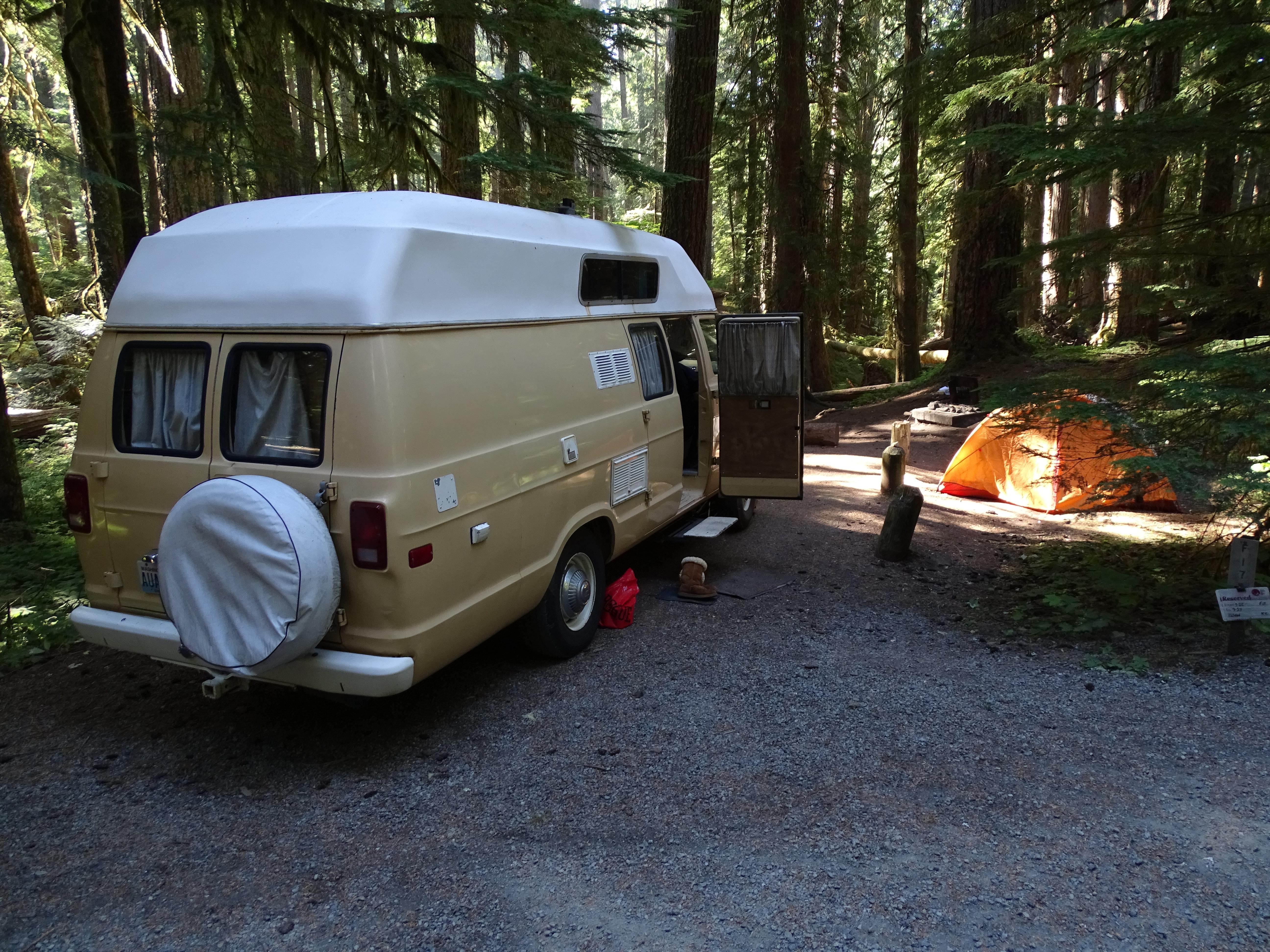
A campsite can hold up to 2 tents and 6 people (unless immediate family) for one night.
With an America the Beautiful Access or Senior Pass, the card holder can get a discounted rate for a campsite. A single campsite can have up to 2 tents and 6 people (unless immediate family) per night.
If you plan to use the group sites at Cougar Rock or Ohanapecosh campgrounds between Memorial Day weekend and Columbus Day, you must make reservations. Groups of 12 or more are permitted only in specific group sites. Group sites are designed for tent camping only so RVs are not permitted. At campgrounds throughout the park, parking is limited. Those using group campsites may need to consult the campground ranger to arrange additional parking. Maximum groups sizes vary by site.
Reservations can be made online or by telephone 1-877-444-6777. Ohanapecosh campsites tend to open in mid to late May as weather allows. From opening until the end of June, all open sites are first-come, first-serve. For summer dates June 23, 2016, through early September reservations can be made up to 6 months in advance. Reservations are highly recommended as this campground is very popular.
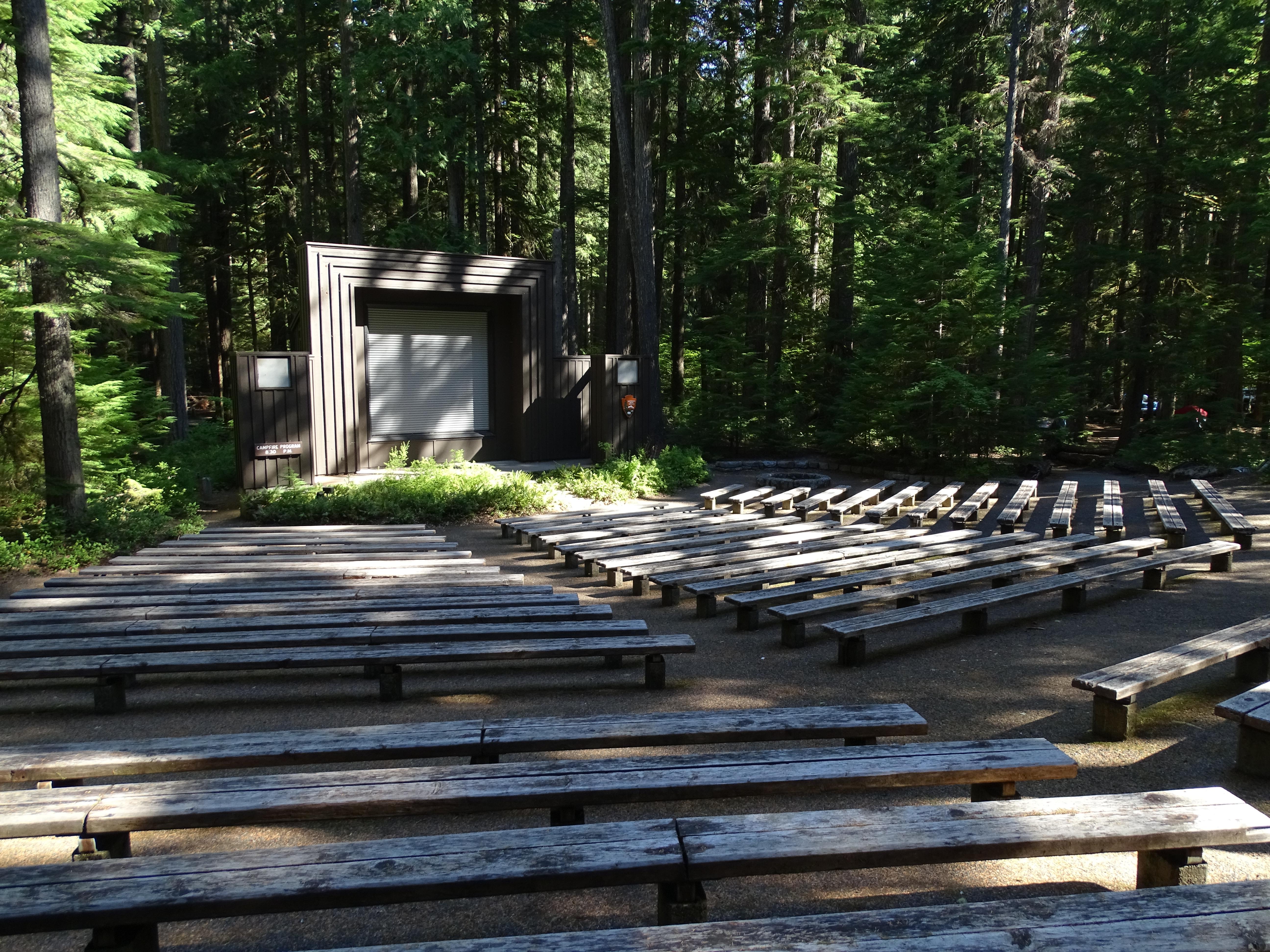
- Amphitheater
- Yes - seasonal
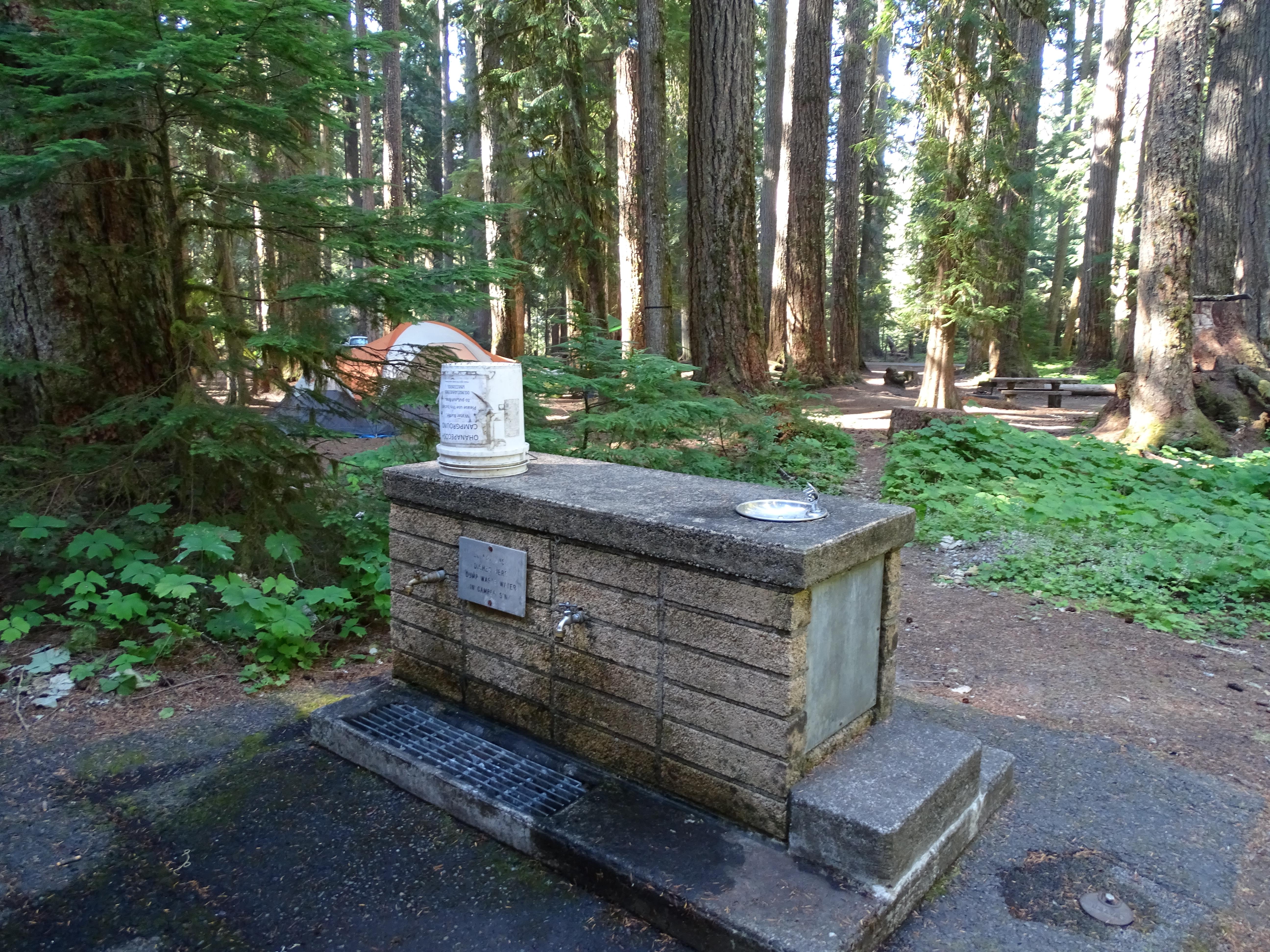
- Drinking water
- Yes - seasonal
- Firewood for sale
- Yes - seasonal
- Food storage lockers
- Yes - seasonal
- Host on site
- Yes - seasonal
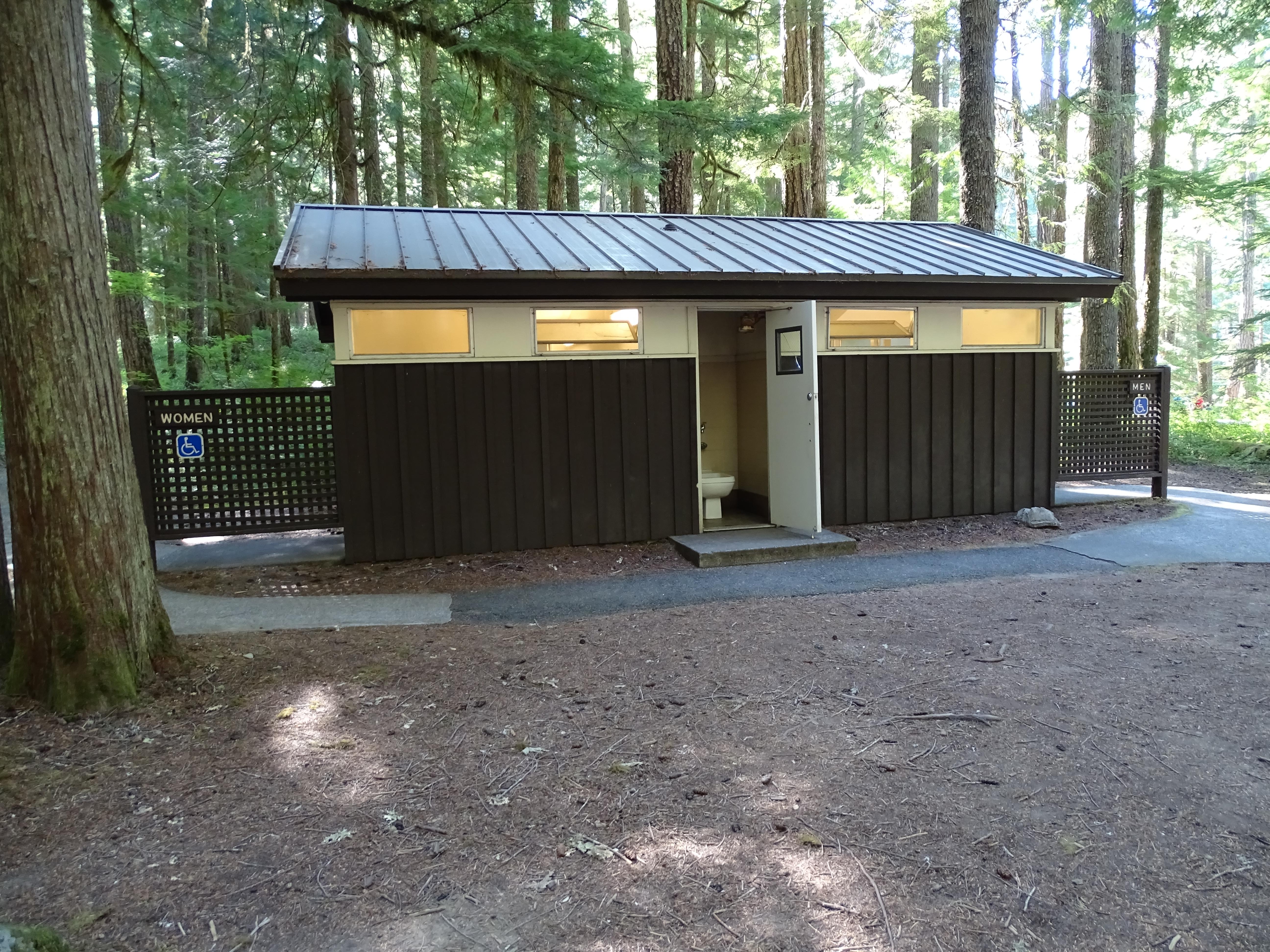
- Toilets
- Flush Toilets - seasonal
- Trash & recycling
- Yes - seasonal
- Camp store
- No
- Cell reception
- No
- Dump station
- No
- Ice for sale
- No
- Internet
- No
- Laundry
- No
- Showers
- None
- RVs
- Allowed · up to 32 ft
- Trailers
- Allowed · up to 27 ft
- Access roads
- Paved Roads - All vehicles OK
- Classification
- Developed Campground
- Cell service
- Cellular service is spotty at best, and varies with service provider. Please contact the cellular providers directly to ask for a coverage map.
The Loop D restrooms are accessible. Road and loops in campground are paved. Campsites tend to be gravel and hard packed dirt. The amphitheater has packed dirt aisles that slope down to the seating area.
Accessible restrooms are located at the Ohanapecosh campground in loop D. There are two accessible campsites also in loop D. An America the Beautiful Access Card is required for these sites.
Wood fires are allowed in designated fire pits within the campground. Firewood is available for sale nightly during the summer. No collecting of dead or downed wood within the park.
There is no address for Ohanapecosh Campground. It is located 17 miles northeast of the town of Packwood, Washington, on State Route 123, 4 miles north of State Route 12, and about 1 mile north of the park boundary. GPS coordinates are "46.73111, -121.57028 or 46°43'52""N, 121°34'13""W"
The campground is greatly affected by Mount Rainier's changeable weather. Most summer days are comfortable, but temperatures get quite cool near sunset. July and August tend to be sunny and dry, but rain and thunderstorms have occurred. This area is subject to sudden and severe geological hazards such as flooding, landslides and rock fall.
Quiet hours must be maintained between 9 pm and 7 am. Generators may be used only between 8 am-10 am, 12 pm-2 pm, and 5 pm-7 pm. Loop E in Cougar Rock is closed to generator use. Please show respect for others by keeping noise to a minimum at all times. Pets are not permitted in amphitheaters, buildings, on trails or in vegetated areas. Pets are permitted only in parking lots and roads open to vehicles and within the designated campsite. Pets must be crated, on a leash or otherwise under physical restraint at all times. Do not leave pets unattended for their safety and the safety of visitors and wildlife. For your safety and theirs do not feed the wildlife. Never leave food unattended. Store food, including coolers, in vehicles overnight and whenever your campsite is unattended. Keep your campsite clean of food scraps and garbage. Do not drive nails into trees or dig ditches around tents. Tents may not be placed on vegetation.
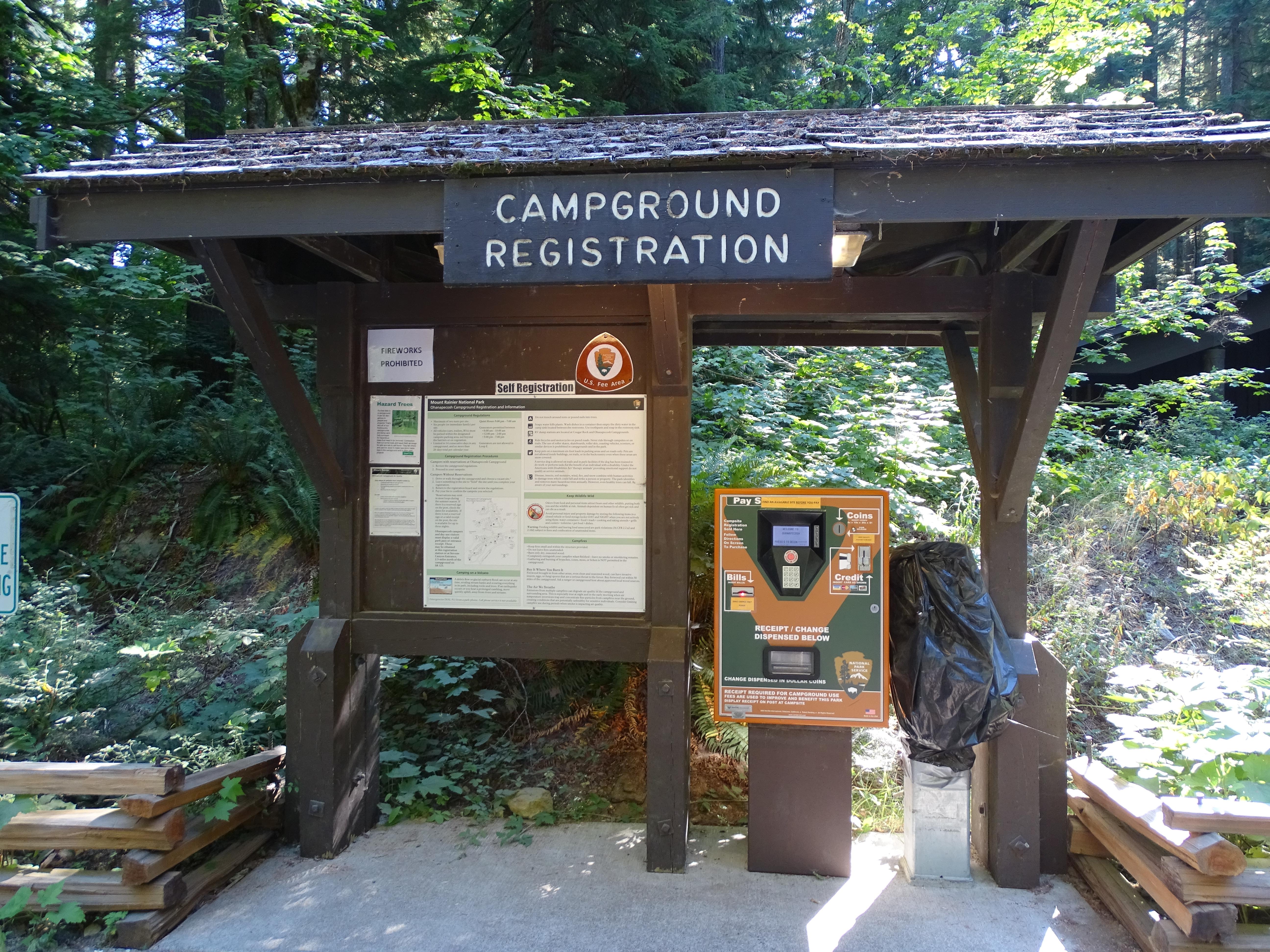
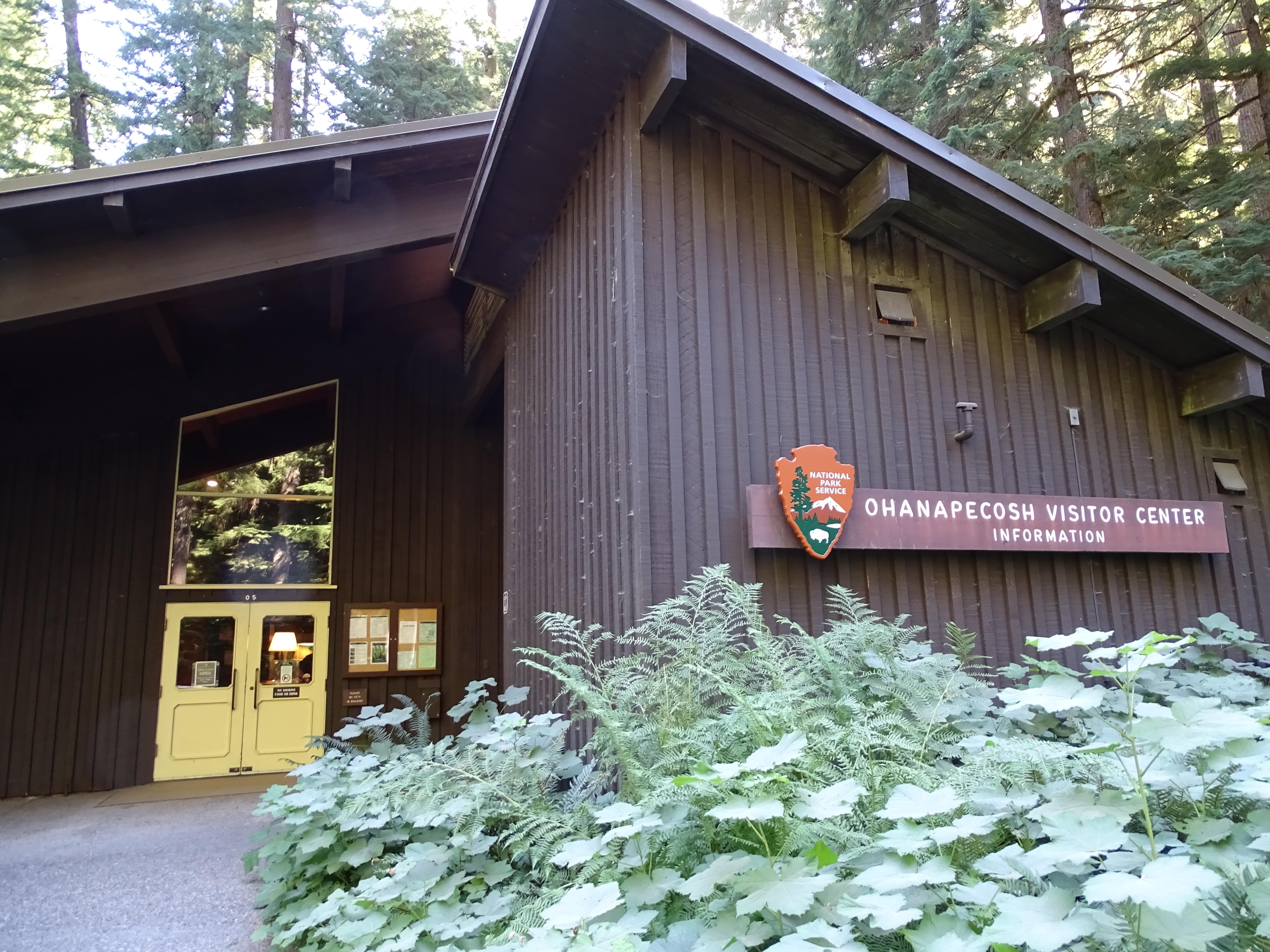
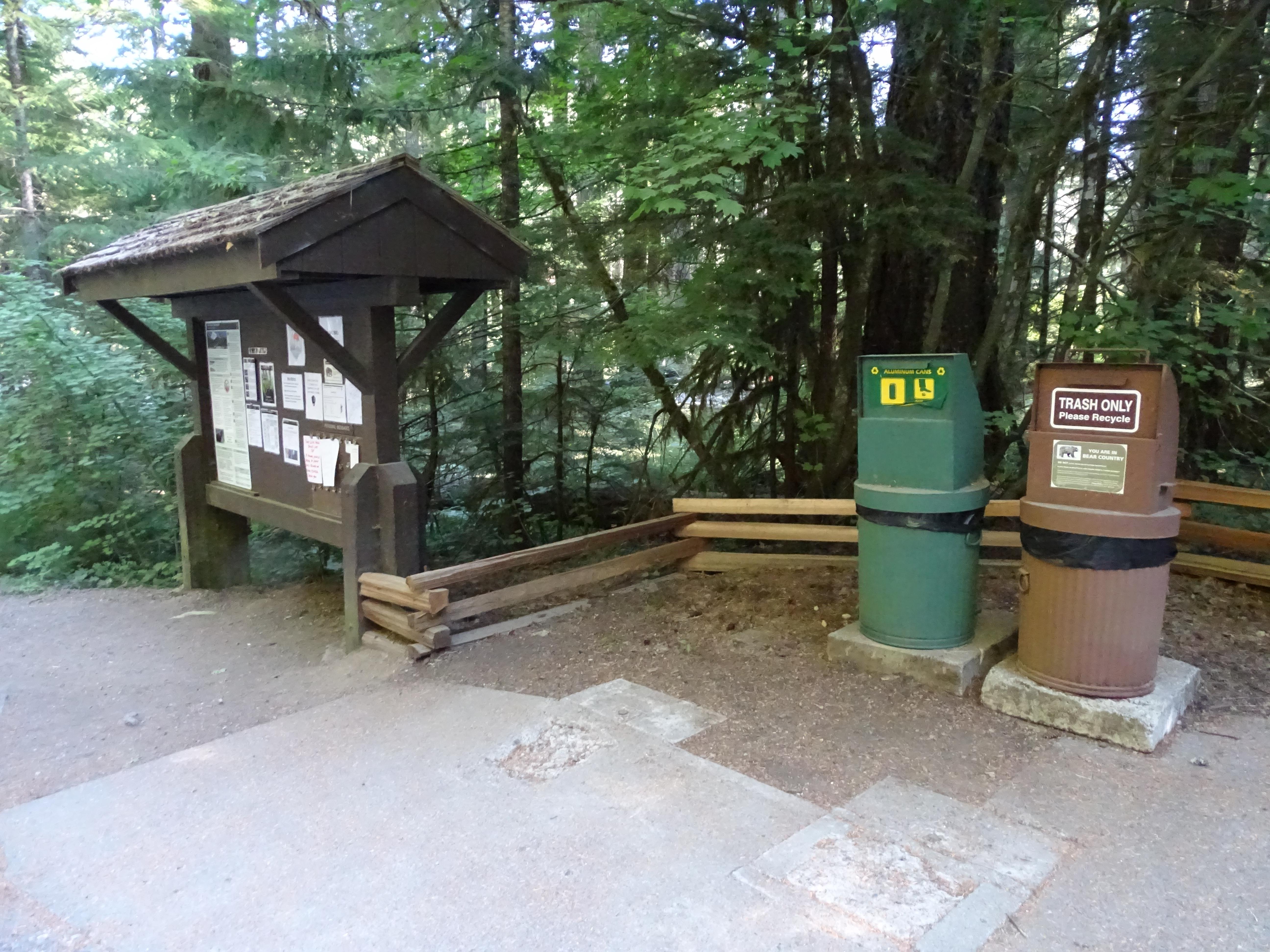
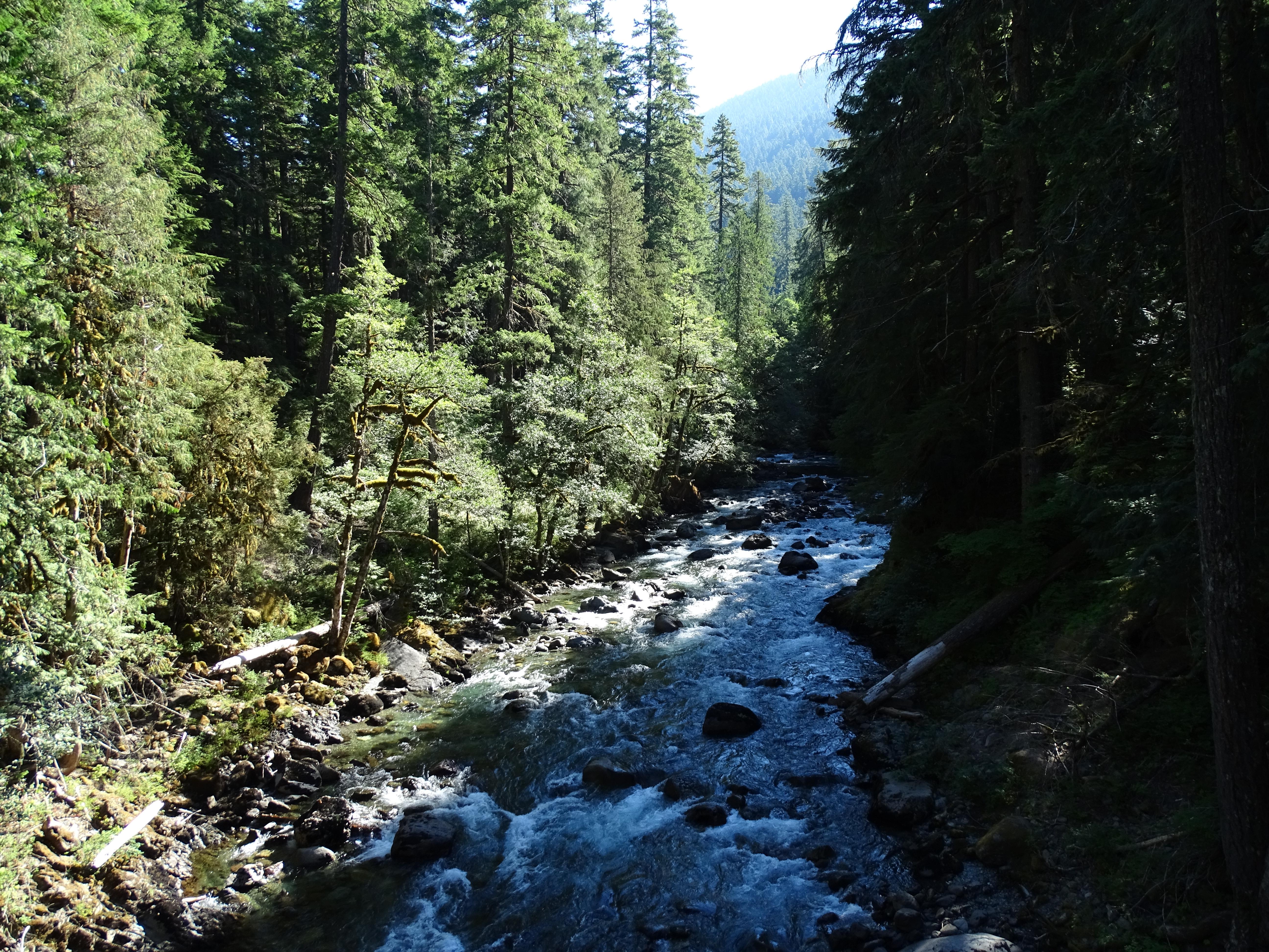
Ohanapecosh Campground is set in a narrow river valley surrounded by forested hillsides. Enter the campground off of State Route 123 and follow the road to the right (a turn off to the left leads to maintenance facilities and staff housing). The main campground road curves through the forest and reaches the visitor center on the right. The Ohanapecosh Visitor Center is a low building with an angled roof tucked among the trees. A small parking lot is in front of the building with a concrete walkway leading to the building's entrance, with restrooms located to the right of the door. In front of the visitor center parking area is an information kiosk with campground information and a place to register for a site. Across the road from the visitor center is Loop A. As you drive down the Loop A road, additional parking is to the left, with picnic tables and a restroom. From the visitor center continue on the main campground road. Loop B starts on the right, with additional day use parking and access to the Silver Falls Trail and the Hot Springs Nature Loop Trail. Loop C is on the left, with walk-in sites and an additional picnic area next to the Ohanapecosh River. Continuing past Loops B and C and the road crosses over the Ohanapecosh River on a concrete bridge. The river is bordered by forest and large rocks and is often a rich deep blue-green color. Past the bridge, there is additional parking along the road on the right with paved paths providing access to the campground amphitheater and the other end of the Silver Falls Trail. Loop D starts on the left. Past Loop D, the main road splits, with Loop F on the left, Loop E on the right. Continue straight to access Loop H on the right and finally Loop G at the end of the road, curving off to the left. Each loop has a restroom facility.
Location, hours, and facility details confirmed against the National Park Service registry.
National Park Service registryChecked 2026-08-04
Can you reserve a campsite at Ohanapecosh Campground?
Both. Ohanapecosh Campground in Mount Rainier National Park has 129 sites that can be reserved in advance and 50 that are first-come, first-served.
How many campsites does Ohanapecosh Campground have?
Ohanapecosh Campground in Mount Rainier National Park has 179 campsites.
What is the maximum RV length at Ohanapecosh Campground?
Ohanapecosh Campground publishes a maximum RV length of 32 feet. Longer rigs will not fit its sites.
How much does it cost to camp at Ohanapecosh Campground?
Ohanapecosh Campground in Mount Rainier National Park charges between $10 and $60 per night, depending on the site type.
Are there showers at Ohanapecosh Campground?
No. Ohanapecosh Campground in Mount Rainier National Park does not list showers.
Is there drinking water at Ohanapecosh Campground?
Yes. Ohanapecosh Campground in Mount Rainier National Park lists drinking water: Yes - seasonal.
Is there cell service at Ohanapecosh Campground?
No. Ohanapecosh Campground in Mount Rainier National Park does not list cell reception.
Is there a dump station at Ohanapecosh Campground?
No. Ohanapecosh Campground in Mount Rainier National Park does not list dump station.
Is Ohanapecosh Campground wheelchair accessible?
Ohanapecosh Campground in Mount Rainier National Park: The Loop D restrooms are accessible. Road and loops in campground are paved. Campsites tend to be gravel and hard packed dirt. The amphitheater has packed dirt aisles that slope down to the seating area.
- JCT SR 12 OHANAPECOSH JCT VIC WHITE PASS TO JCT SR 410 VIC CHINOOK PASSPasses here
- JCT SR 12 VIC MORTON TO JCT SR 410 VIC CHINOOK PASSPasses here
- White Pass Scenic BywayNationally designated · 3 mi away
- JCT KOSMOS RD VIC MORTON TO JCT SR 410 VIC NACHES3 mi away
- JCT SR 5 VIC MORTON TO JCT SR 410 VIC NACHES3 mi away
- Chinook Scenic BywayNationally designated · 9 mi away
Drive to Ohanapecosh Campground
Byway plans the scenic way in — real places, real weather, every stop verified. Zero hallucinations. Google Maps for turns. Byway for soul.