Channel Islands National Park

Official park boundary · National Park Service
Take the scenic way to Channel Islands National Park.
Byway plans around your taste, verified places, real weather and opening hours — then opens every leg in Google Maps with one tap.
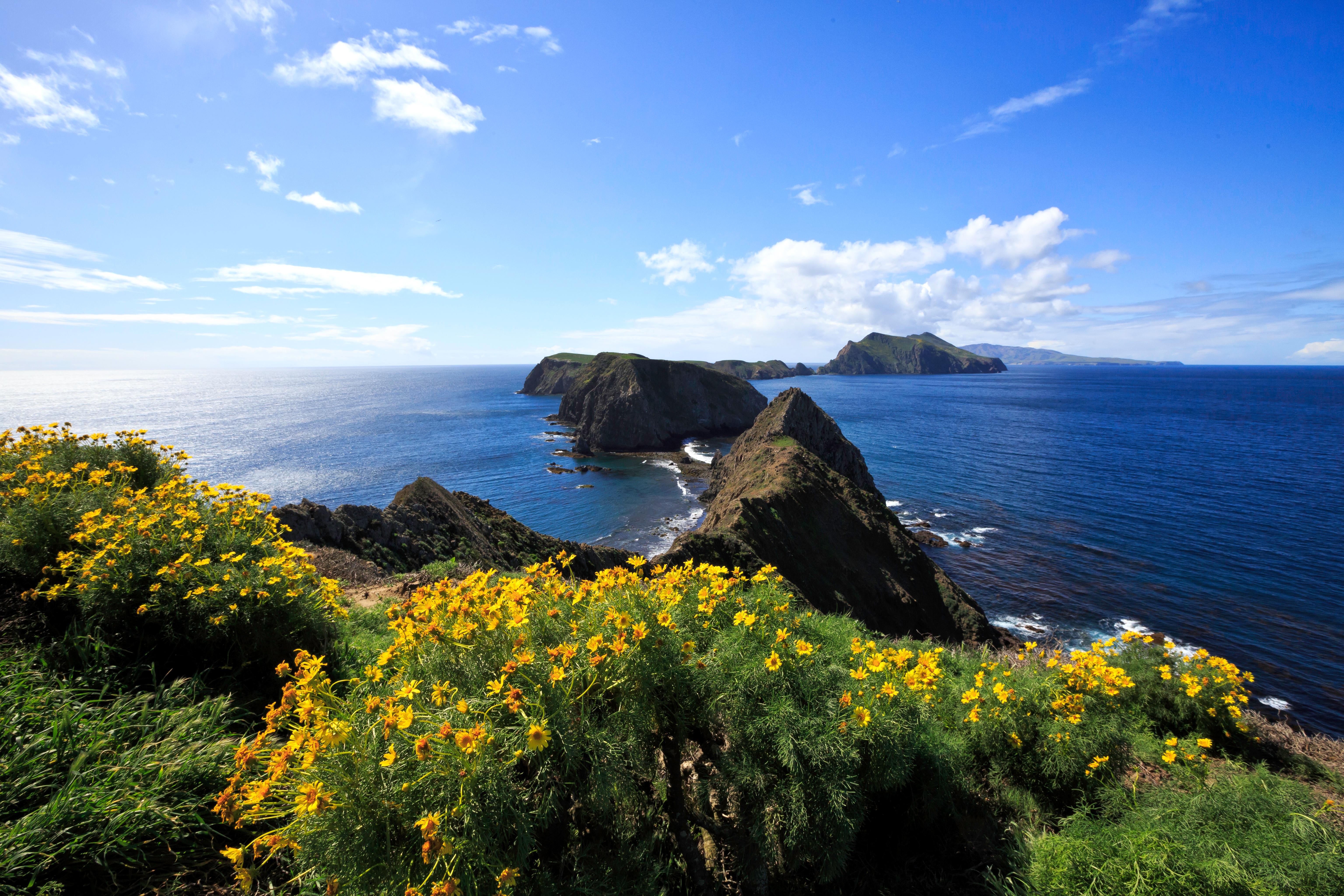
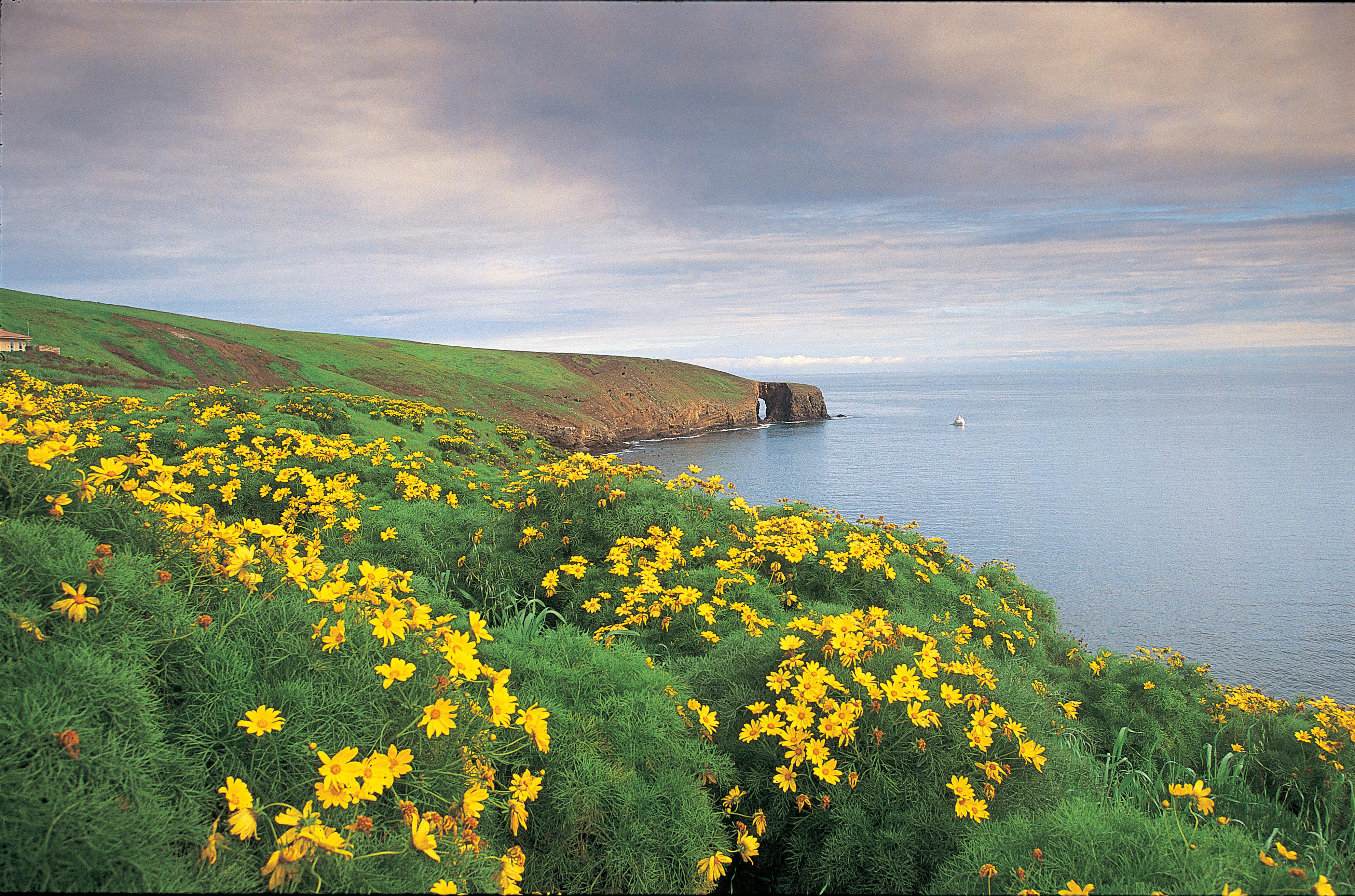
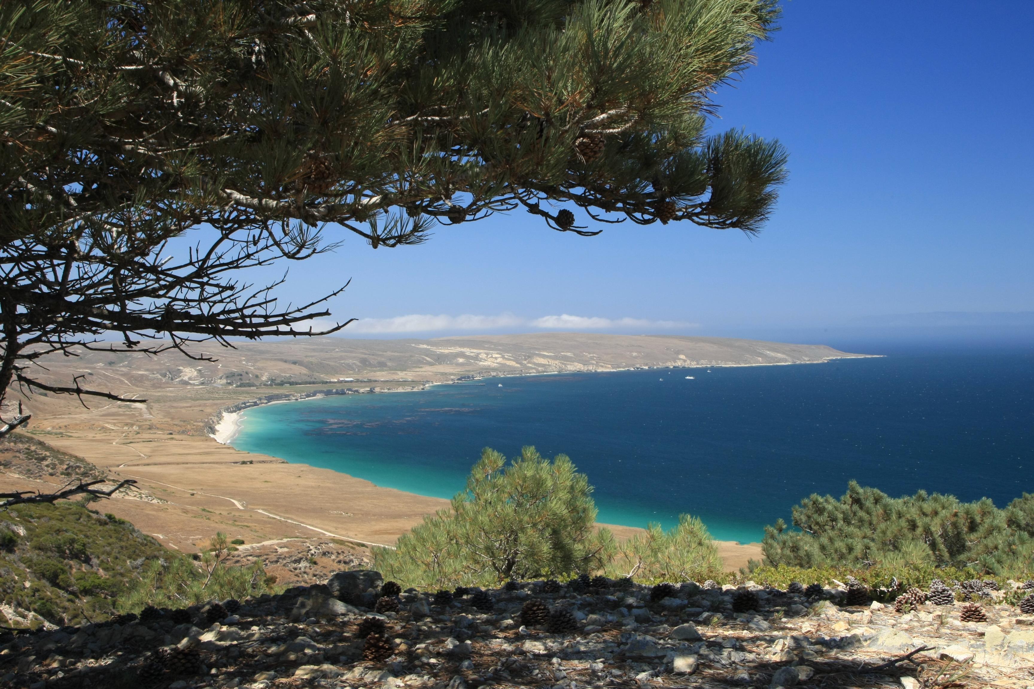
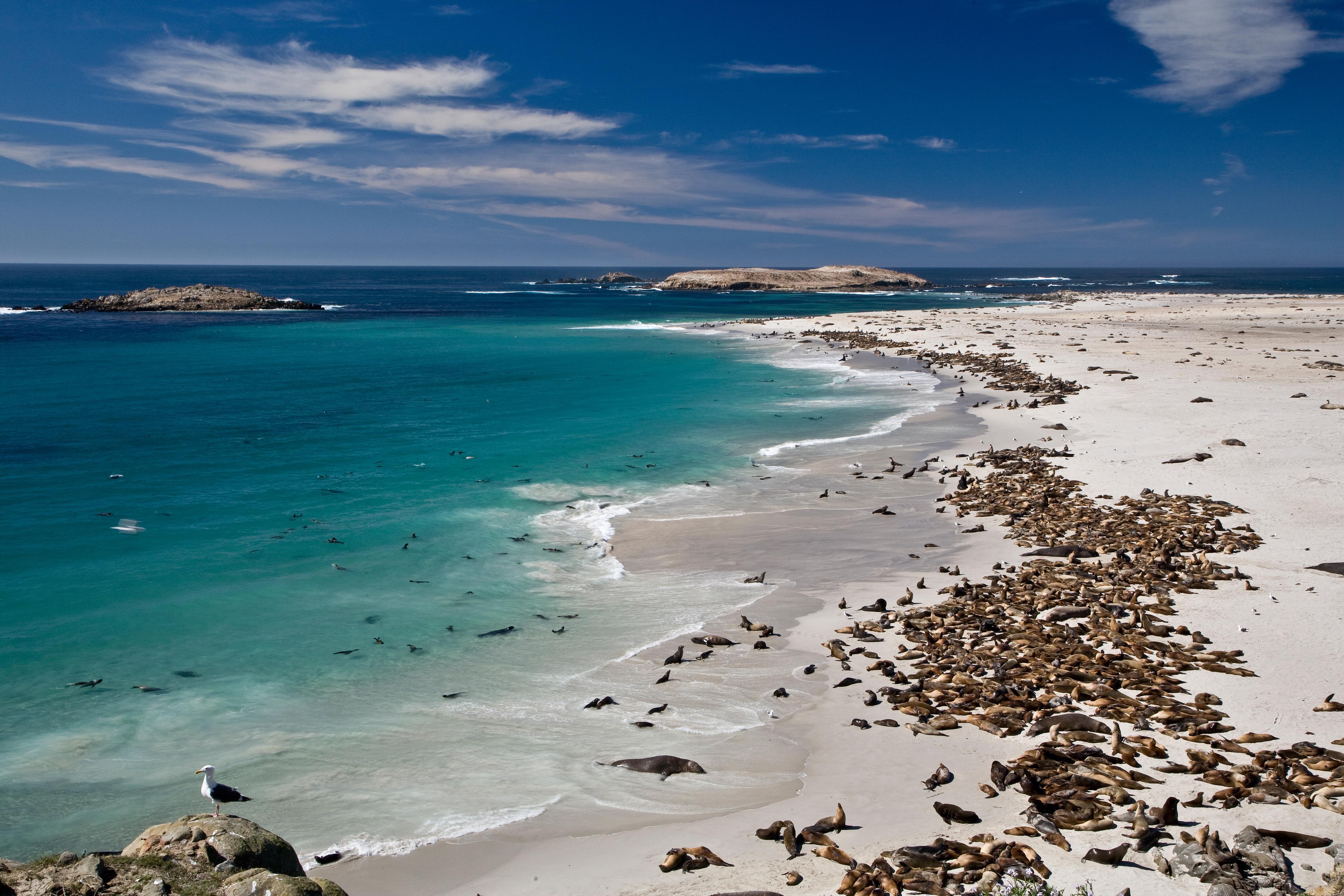
Channel Islands National Park encompasses five remarkable islands and their ocean environment, preserving and protecting a wealth of natural and cultural resources. Isolation over thousands of years has created unique animals, plants, and archeological resources found nowhere else on Earth and helped preserve a place where visitors can experience coastal southern California as it once was.
Channel Islands National Park is a national park of the United States, which consists of five of the eight Channel Islands off the coast of California. Although the islands are close to the shore of the densely populated state, they have been relatively undeveloped. The park covers 249,561 acres, of which 79,019 acres are federal land.
While the mainland visitor center in Ventura is readily accessible by car or public transportation, the islands are only accessible by park concessionaire boats and planes or private boat. Advanced planning is highly recommended.
In general, the islands have a Mediterranean climate year-round. Temperatures are relatively stable, with highs averaging in the mid-60s (°F) and lows in the low-50s. However, there are seasonal differences that visitors should take into consideration when visiting the park. In addition, visitors also should be aware that ocean and weather conditions vary considerably from day-to-day and island-to-island. For more information visit: http://www.nps.gov/chis/planyourvisit/weather.htm
Source: National Park Service
Park facts, fees, and activities confirmed against the National Park Service registry.
National Park Service registryChecked 2026-08-04
- Anacapa Island Campground
- Prisoners Harbor Campground
- San Miguel Island Campground
- Santa Barbara Island Campground
- Santa Cruz Island Del Norte Backcountry Campground
- Santa Cruz Island Scorpion Canyon Campground
- Santa Rosa Island Backcountry Beach Camping
- Santa Rosa Island Campground
- Channel Islands National Park Visitor Center
- Outdoors Santa Barbara Visitor Center
- San Miguel Island Ranger and Visitor Contact Station
- Santa Barbara Island Visitor Center
- Santa Rosa Island Visitor Contact Station
- Scorpion Ranch Visitor Center on Santa Cruz Island
- Visitor Center Anacapa Island
Where is Channel Islands National Park?
Channel Islands National Park is in California.
When was Channel Islands National Park established?
Channel Islands National Park was established in 1980.
How big is Channel Islands National Park?
Channel Islands National Park covers 390 square miles (249,561 acres).
Can you camp in Channel Islands National Park?
Yes. The National Park Service runs 8 campgrounds in Channel Islands National Park, with 106 campsites between them.
Does Channel Islands National Park have a visitor center?
Yes. Channel Islands National Park has 7 visitor centers: Channel Islands National Park Visitor Center, Outdoors Santa Barbara Visitor Center, San Miguel Island Ranger and Visitor Contact Station, Santa Barbara Island Visitor Center, Santa Rosa Island Visitor Contact Station, Scorpion Ranch Visitor Center on Santa Cruz Island, Visitor Center Anacapa Island.
Drive Channel Islands with Byway
Byway plans the scenic day around Channel Islands — real places, real weather, every stop verified. Zero hallucinations. Google Maps for turns. Byway for soul.