Guadalupe Mountains National Park

Official park boundary · National Park Service
Take the scenic way to Guadalupe Mountains National Park.
Byway plans around your taste, verified places, real weather and opening hours — then opens every leg in Google Maps with one tap.
Come experience mountains and canyons, desert and dunes, night skies and spectacular vistas within a place unlike any other. Guadalupe Mountains National Park protects the world's most extensive Permian fossil reef, the four highest peaks in Texas, an environmentally diverse collection of flora and fauna, and the stories of lives shaped through conflict, cooperation and survival.
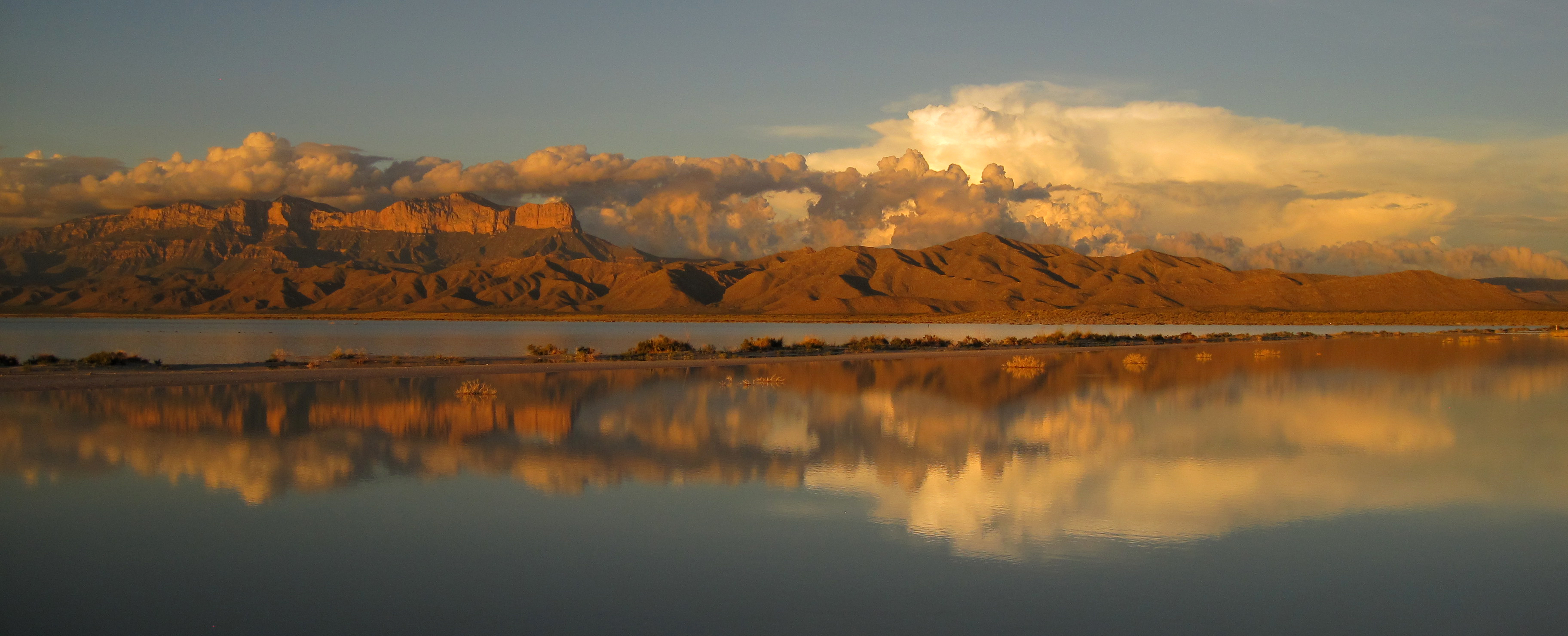
Guadalupe Mountains National Park is a national park of the United States in the Guadalupe Mountains, east of El Paso, Texas. The mountain range includes Guadalupe Peak, the highest point in Texas at 8,751 feet (2,667 m), and El Capitan used as a landmark by travelers on the route later followed by the Butterfield Overland Mail stagecoach line. The ruins of a stagecoach station stand near the Pine Springs visitor center. The restored Frijole Ranch contains a small museum of local history and is the trailhead for Smith Spring. The park covers 86,367 acres in the same mountain range as Carlsbad Caverns National Park, about 25 miles (40 km) to the north in New Mexico. The Guadalupe Peak Trail winds through pinyon pine and Douglas-fir forests as it ascends over 3,000 feet (910 m) to the summit of Guadalupe Peak, with views of El Capitan and the Chihuahuan Desert.
Guadalupe Mountains National Park is located on the north side of US Hwy 62/180. If you are traveling east from El Paso, TX, we are 110 miles East of the city. Follow US Hwy 62/180 North to the Pine Springs Visitor Center. If you are traveling from Van Horn, TX, you will travel north on US 54 and make a right-hand turn at the junction of US 62/180 to arrive at the park. If you are traveling west from Carlsbad, NM, you will travel on US Hwy 62/180 South and cross into Texas. Follow signs to the park.
The Guadalupe Mountains are known for high winds year-round; gusts can reach 60MPH or higher. In winter the mountains experiences occasional, light snowfalls which seldom last more than a day. From May through October, temperatures vary with highs between 80F-100F+ with lows in the 40F-60F range. November to April is generally milder with highs in between 50F-70F with lows in the 30F-50F range. Elevations above 8,000’ will be about 10F cooler than headquarters, with corresponding wind-chill.
Source: National Park Service
An entrance fee of $10 per person (16 years of age and older) is required; entrance fees/passes permit 1-7 consecutive days of use in this national park.
Entrance fee waivers are available to groups when the purpose of their visit is educational rather than recreational. Completed applications along with required documentation must be submitted via email.
Park facts, fees, and activities confirmed against the National Park Service registry.
National Park Service registryChecked 2026-08-04
- Hiking off-trail
A new kind of experience in the Guadalupe Mountains starts where the maintained trail ends. However, off-trail hiking requires planning and preparation and carries a great deal of risk.
- The Notch
The hike to "the Notch" is a challenging day hike that proceeds through McKittrick Canyon to a dramatic viewpoint about half way up toward McKittrick Ridge.
- Overnight on Wilderness Ridge
The lesser used Permian Reef Trail leads to sheltered campsites and spectacular views into McKittrick Canyon, making a great destination of a one night, two day backpacking trip into the Wilderness.
- Drive to Williams Ranch
If you have a high-clearance, four wheel drive vehicle, the primitive dirt road to Williams Ranch provides a unique opportunity to get off the beaten path and get close to the remote and imposing western escarpment of the Guadalupe Mountains. The Williams Ranch Road is currently CLOSED.
- Backpacking Preparation
A backpacking trip in Guadalupe Mountains Wilderness requires some prior planning and decision-making to ensure the best experience.
- Know the Rules
There are a variety of rules and regulations that dictate how the parks must be managed. These laws and regulations help us protect park resources while also providing visitors with a safe and enjoyable experience.
- Guadalupe Peak Viewpoint
This viewpoint, located just to the southeast of the park boundary alongside U.S. Highway 62/180 provides an excellent view to the summit of Guadalupe Peak.
- Visit the historic Frijole Ranch
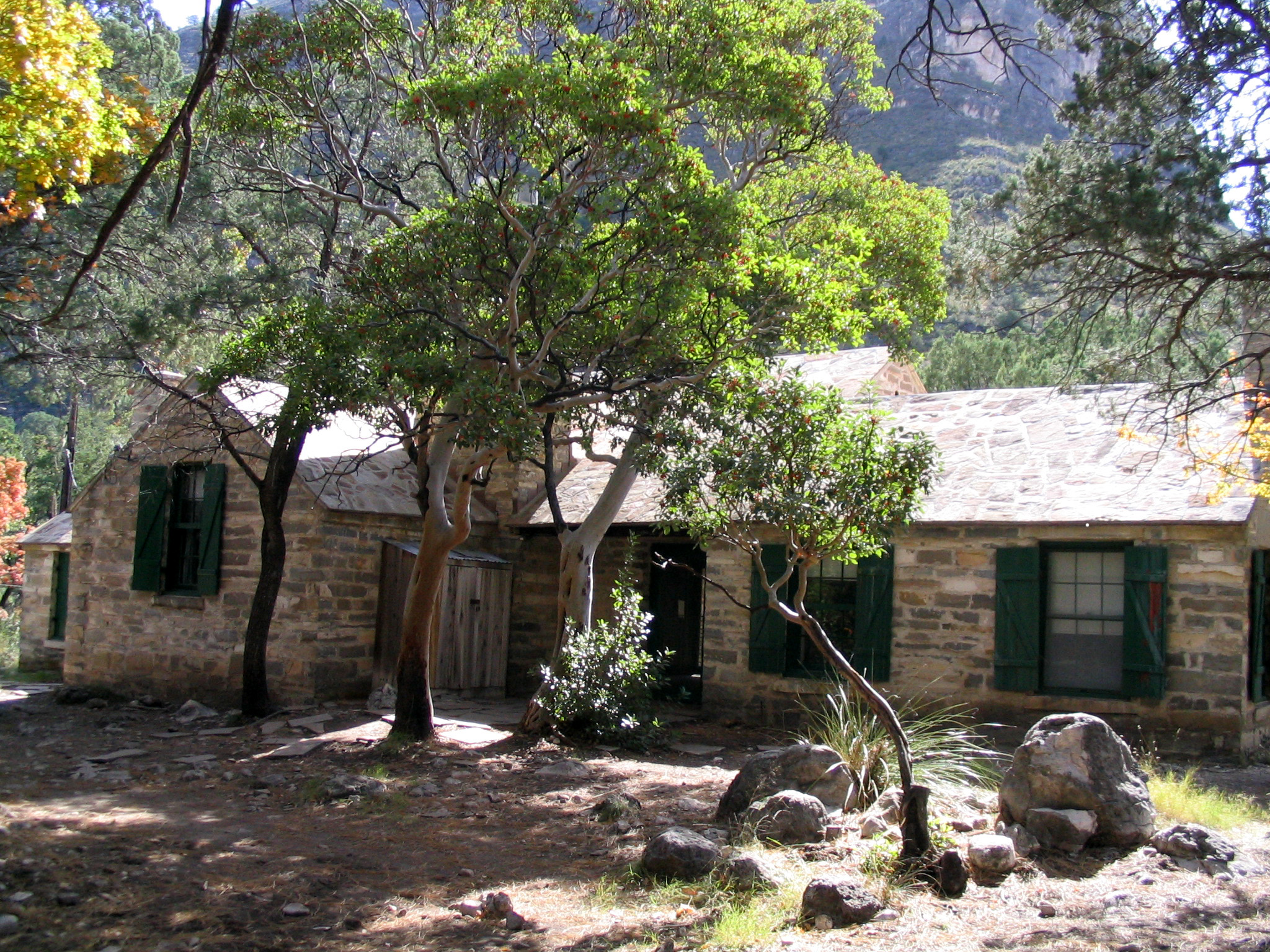
Frijole Ranch is a delightful oasis on the edge of the dry, lower slopes of the Guadalupe escarpment which truly captures the rugged sprit of the American West. Today the Frijole Ranch History Museum occupies the old ranch headquarters and displays the human history of the Guadalupes.
Source: National Park Service

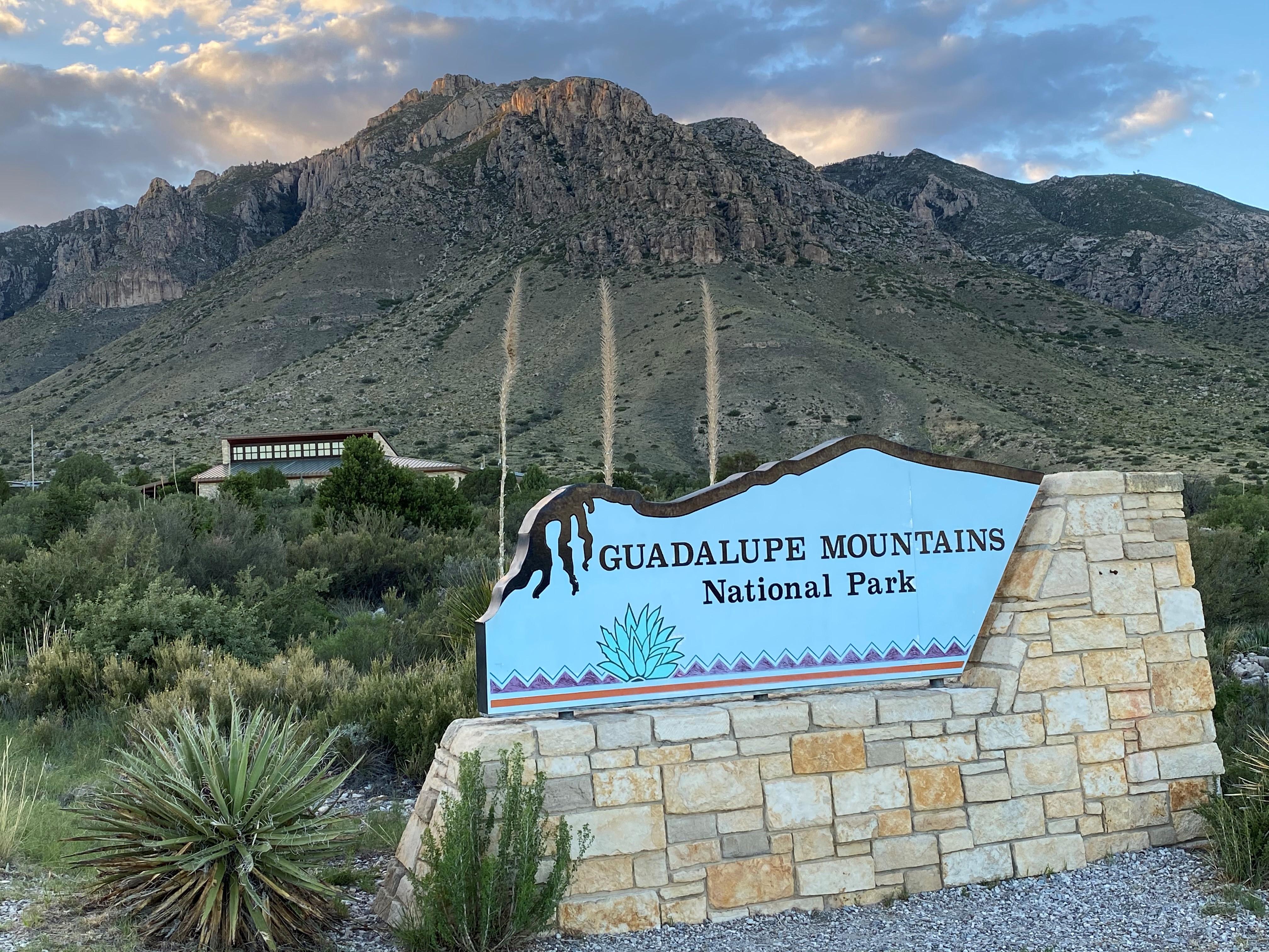
Where is Guadalupe Mountains National Park?
Guadalupe Mountains National Park is in Texas.
When was Guadalupe Mountains National Park established?
Guadalupe Mountains National Park was established in 1972.
How big is Guadalupe Mountains National Park?
Guadalupe Mountains National Park covers 135 square miles (86,367 acres).
Can you camp in Guadalupe Mountains National Park?
Yes. The National Park Service runs 13 campgrounds in Guadalupe Mountains National Park, with 110 campsites between them.
Does Guadalupe Mountains National Park have a visitor center?
Yes. Guadalupe Mountains National Park has 3 visitor centers: Dog Canyon Ranger Station, McKittrick Canyon Contact Station, Pine Springs Visitor Center.
Day trips start here
Drive Guadalupe Mountains with Byway
Byway plans the scenic day around Guadalupe Mountains — real places, real weather, every stop verified. Zero hallucinations. Google Maps for turns. Byway for soul.