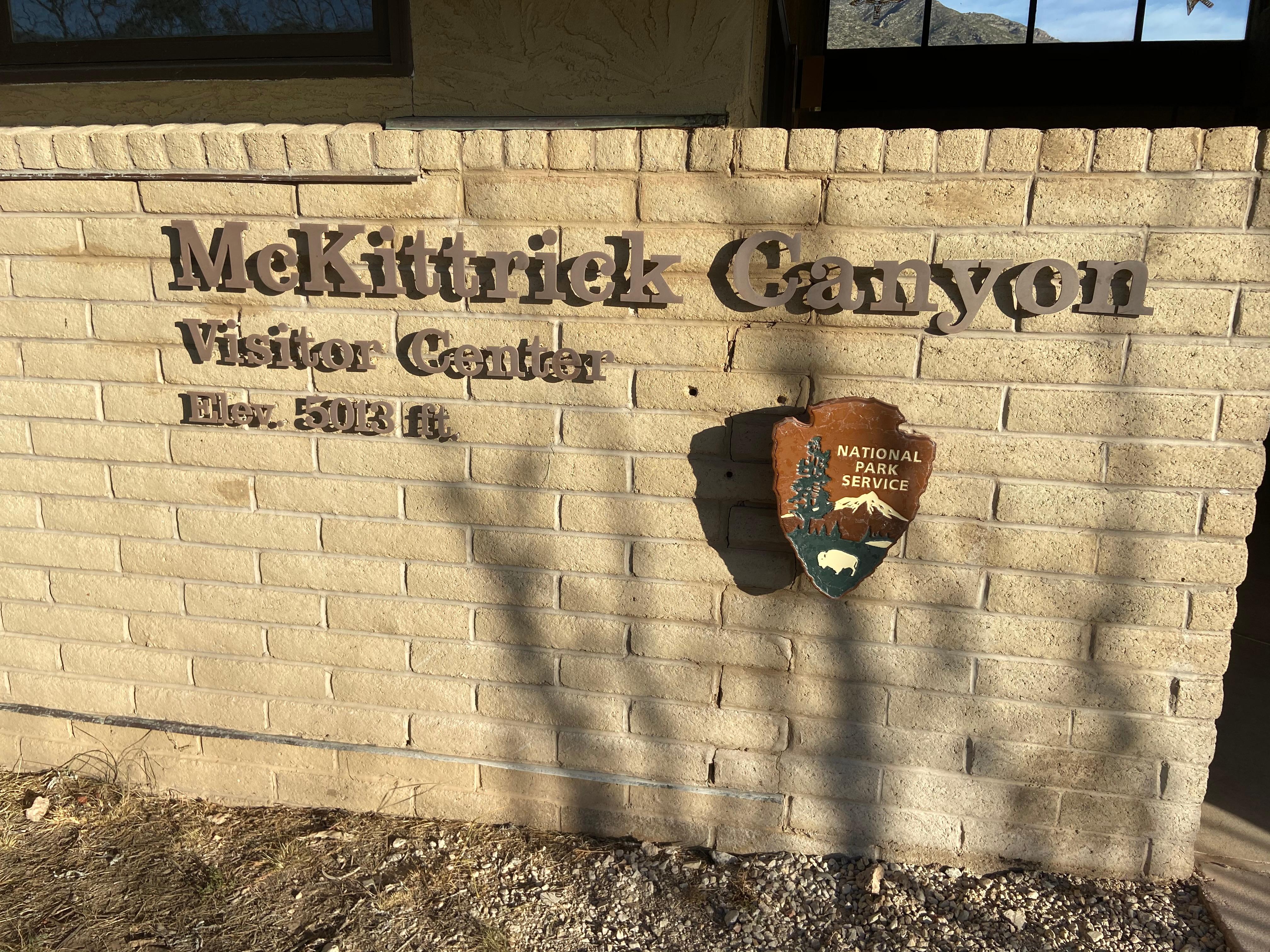
McKittrick Canyon Contact Station
31.9775, -104.7521 · Park boundary: National Park Service
Take the scenic way to McKittrick Canyon Contact Station.
Byway plans around your taste, verified places, real weather and opening hours — then opens every leg in Google Maps with one tap.
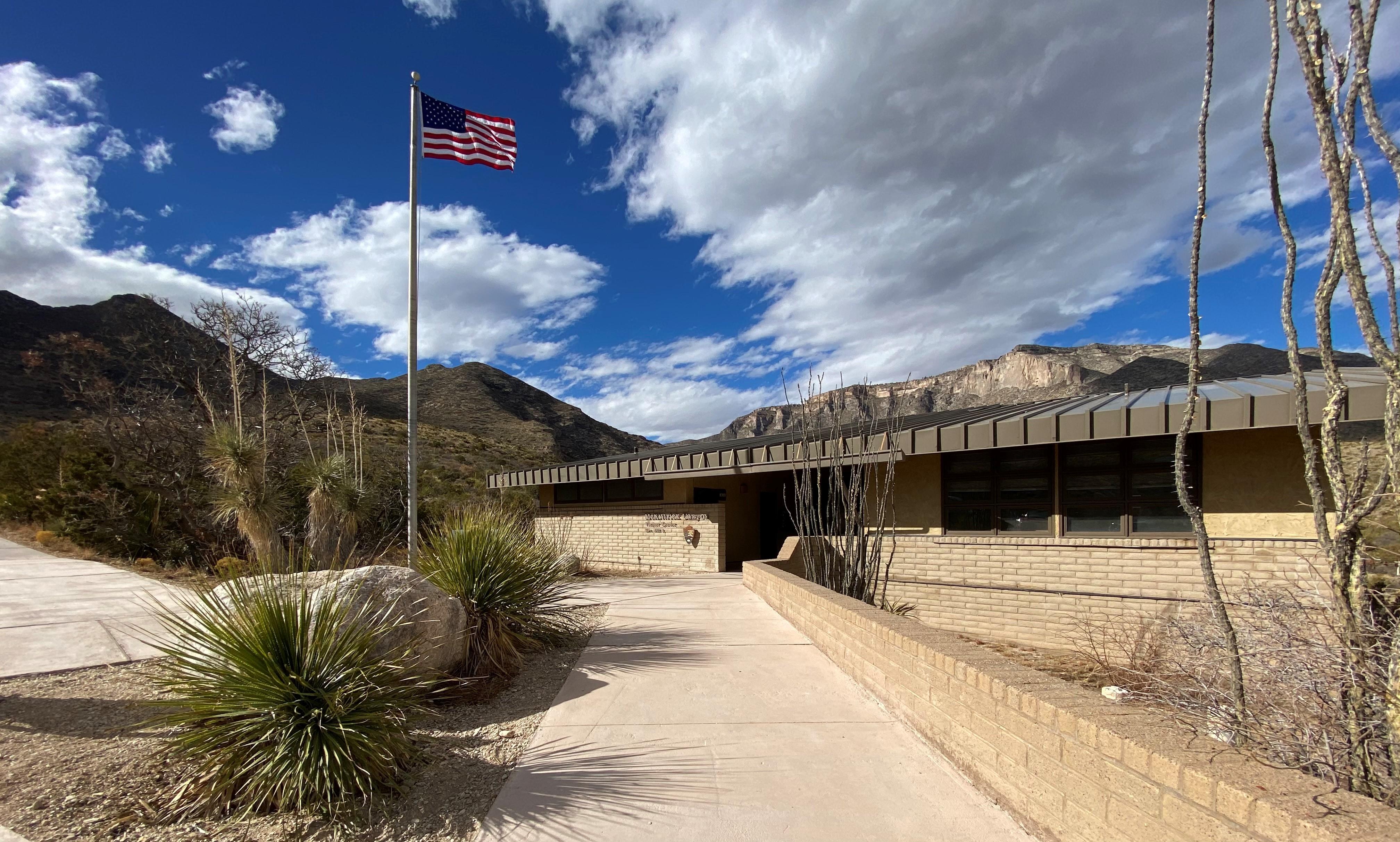
Visit the contact station at the mouth of McKittrick Canyon (staffed during peak seasons in the spring and fall). Pick up a park brochure, and view the outside exhibits and video.
Closed all week
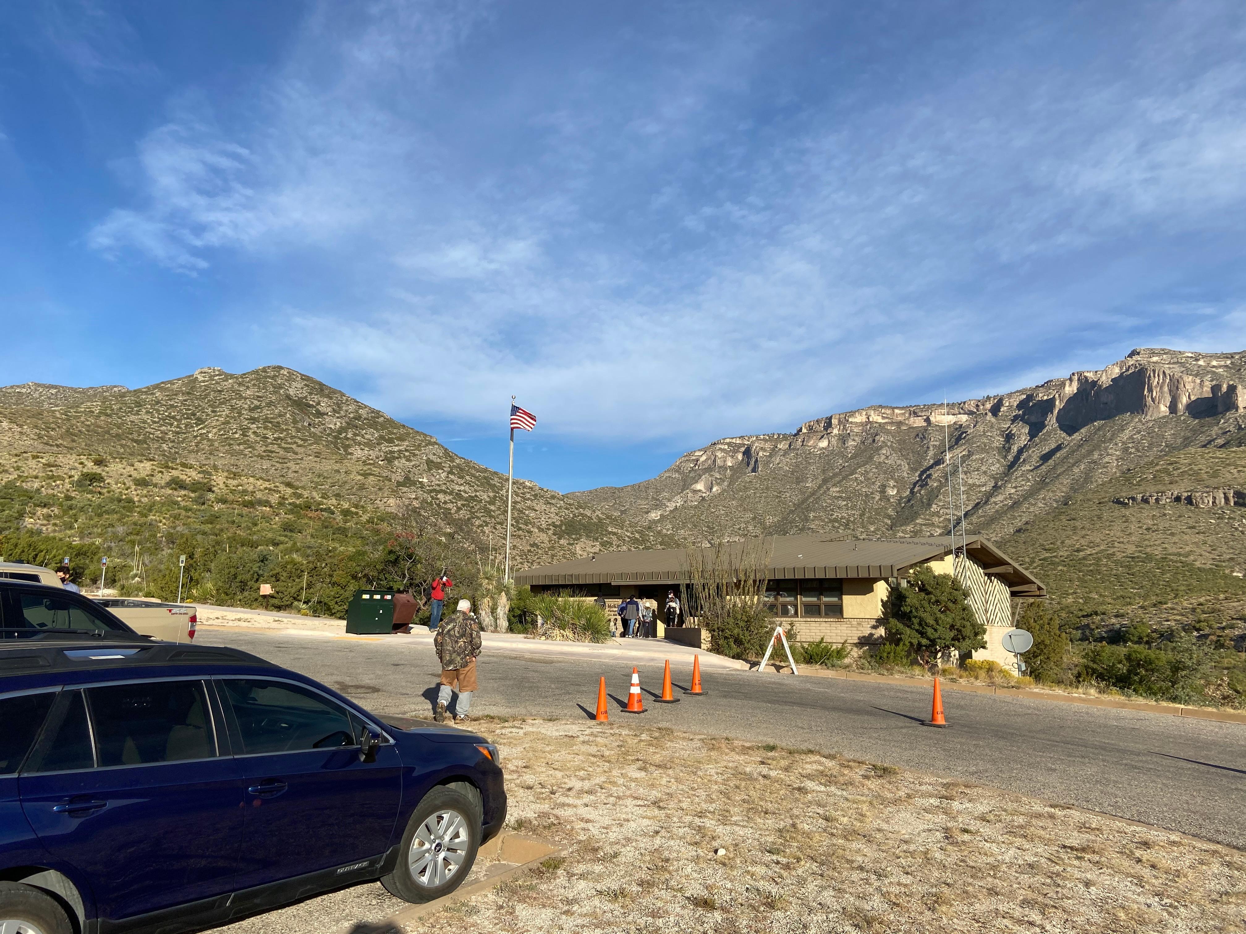
McKittrick Canyon is open daily from 8:00 AM to 5:00 PM Mountain Time. The gate at the highway is closed and locked at 5:00 PM. All visitors must be out of the area by 5:00 PM. The McKittrick Canyon Visitor Center restrooms are open daily. The trailhead is immediately through the breezeway. View the outside exhibits and video. The visitor center is open intermittently depending on staff availability.
Stamp is available when the visitor center is staffed.
Guadalupe Mountains National Park is located in far West Texas on U.S. Highway 62/180. The driving distance is 110 miles east of El Paso, Texas, 56 miles southwest of Carlsbad, New Mexico or 62 miles north of Van Horn on Hwy 54. The McKittrick Canyon access road is seven miles north of the Pine Springs visitor center. The McKittrick Canyon visitor center is at the end of the McKittrick Canyon access road.
Location, hours, and facility details confirmed against the National Park Service registry.
National Park Service registryChecked 2026-08-04
What services does McKittrick Canyon Contact Station offer?
McKittrick Canyon Contact Station in Guadalupe Mountains National Park lists accessible rooms, benches/seating, captioned media, historical/interpretive information/exhibits, information, information - maps available, information - ranger/staff member present, information kiosk/bulletin board, parking - auto, parking - bus/rv, picnic table, restroom, restroom - accessible, scenic view/photo spot, toilet - flush, trailhead, water - bottle-filling station, water - drinking/potable, wheelchair accessible.
Is there a passport stamp at McKittrick Canyon Contact Station?
Yes. McKittrick Canyon Contact Station in Guadalupe Mountains National Park is a National Park Passport stamp location. Stamp is available when the visitor center is staffed.
Drive to McKittrick Canyon Contact Station
Byway plans the scenic way in — real places, real weather, every stop verified. Zero hallucinations. Google Maps for turns. Byway for soul.