Joshua Tree National Park

Official park boundary · National Park Service
Take the scenic way to Joshua Tree National Park.
Byway plans around your taste, verified places, real weather and opening hours — then opens every leg in Google Maps with one tap.
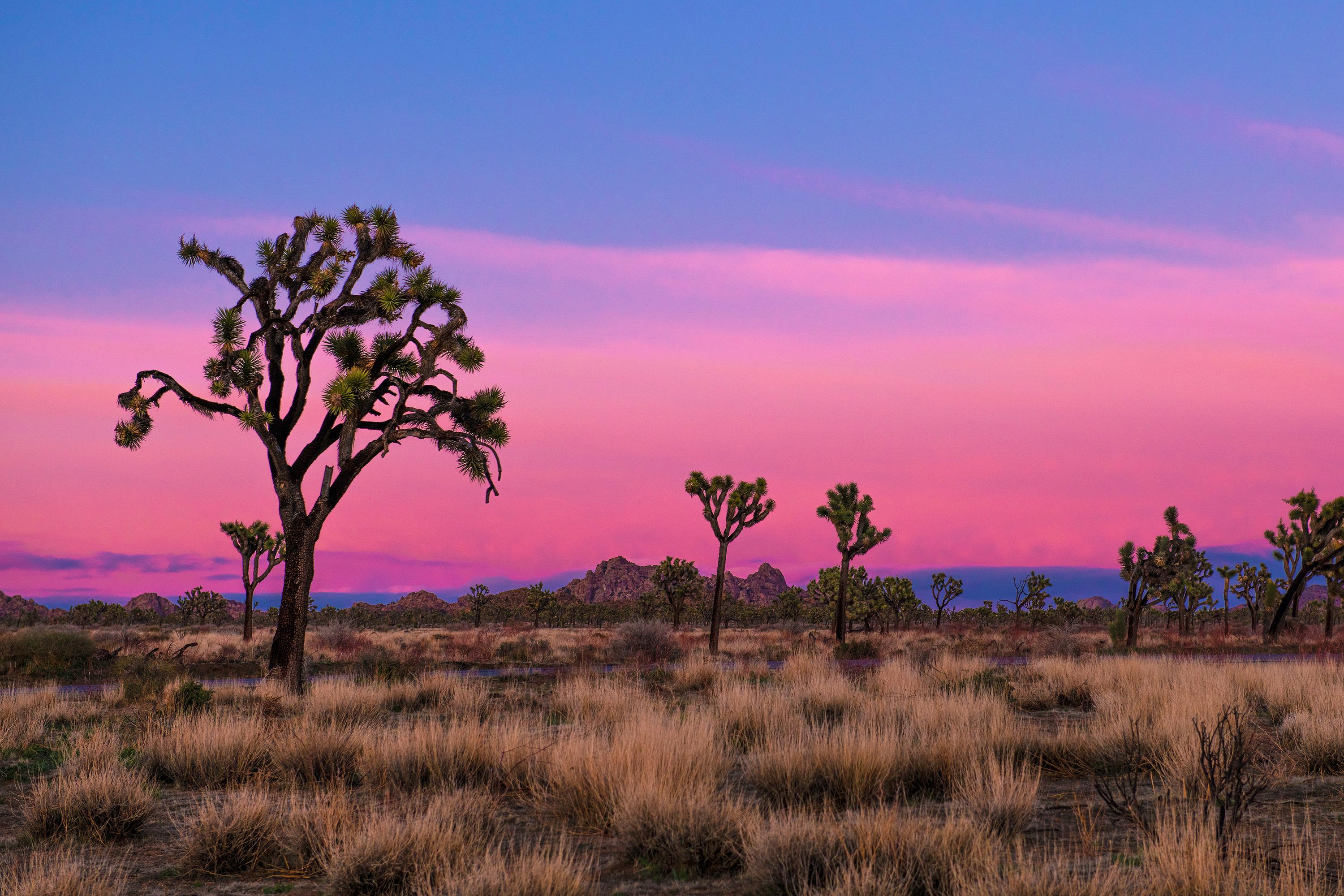
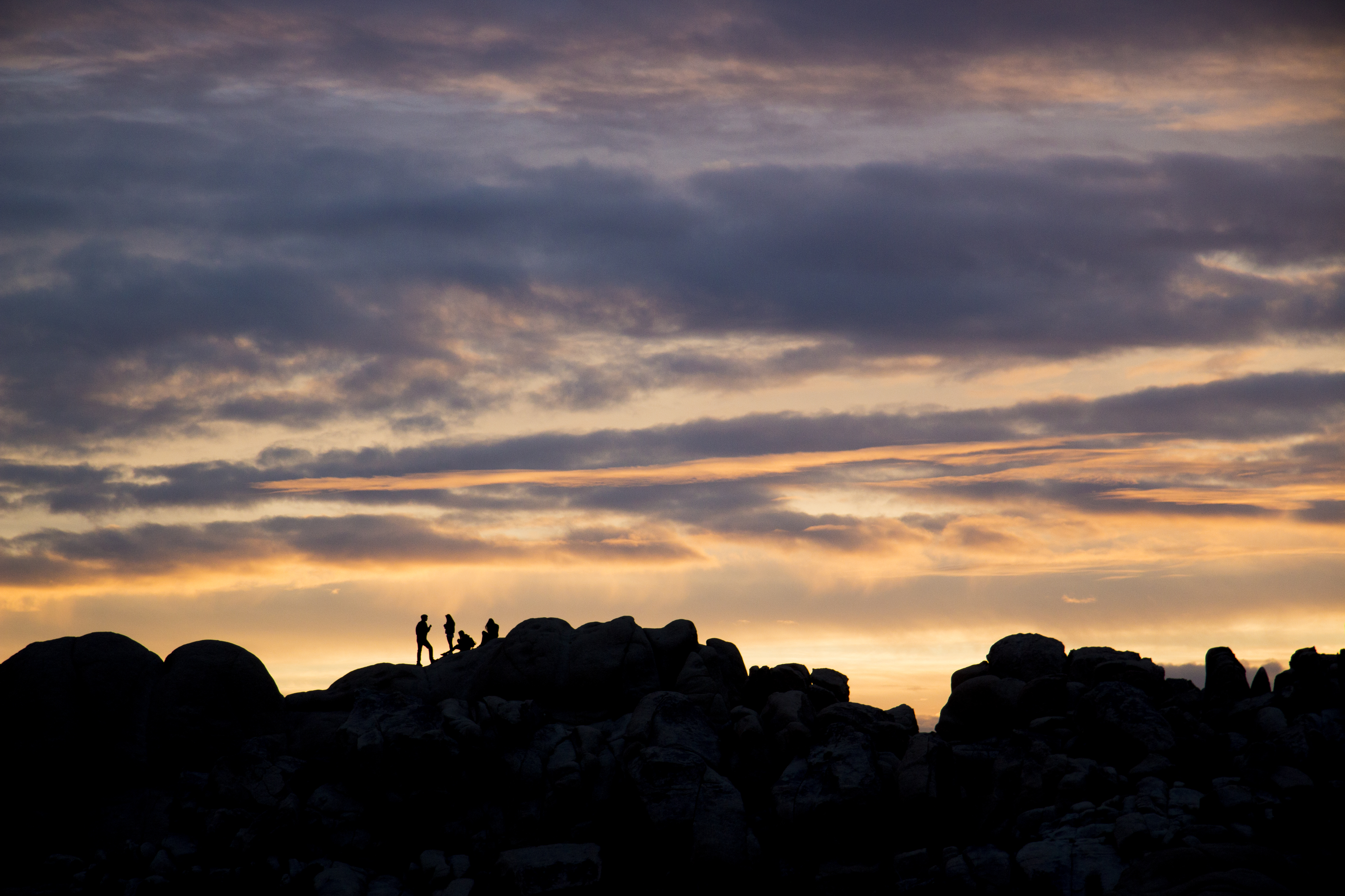
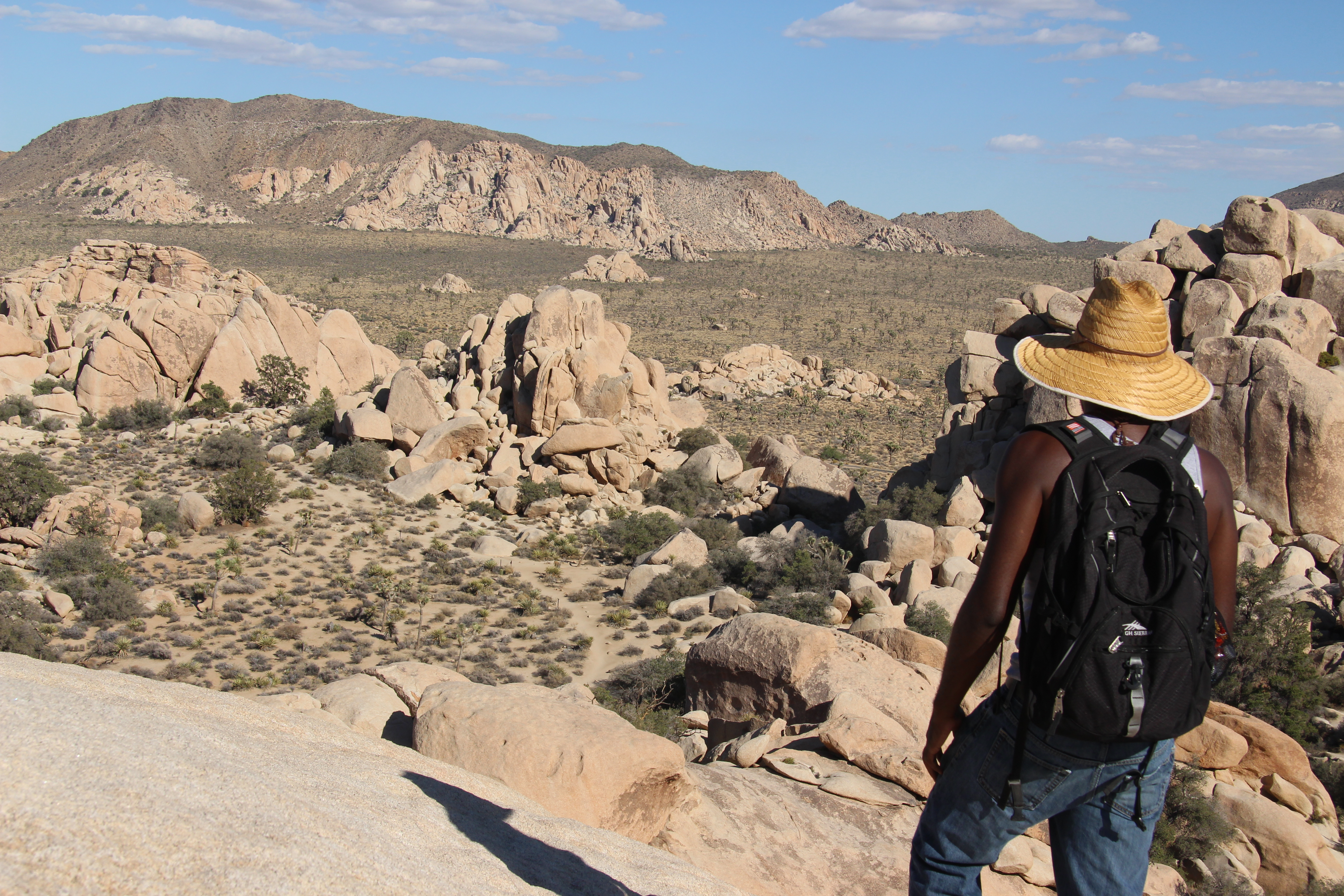
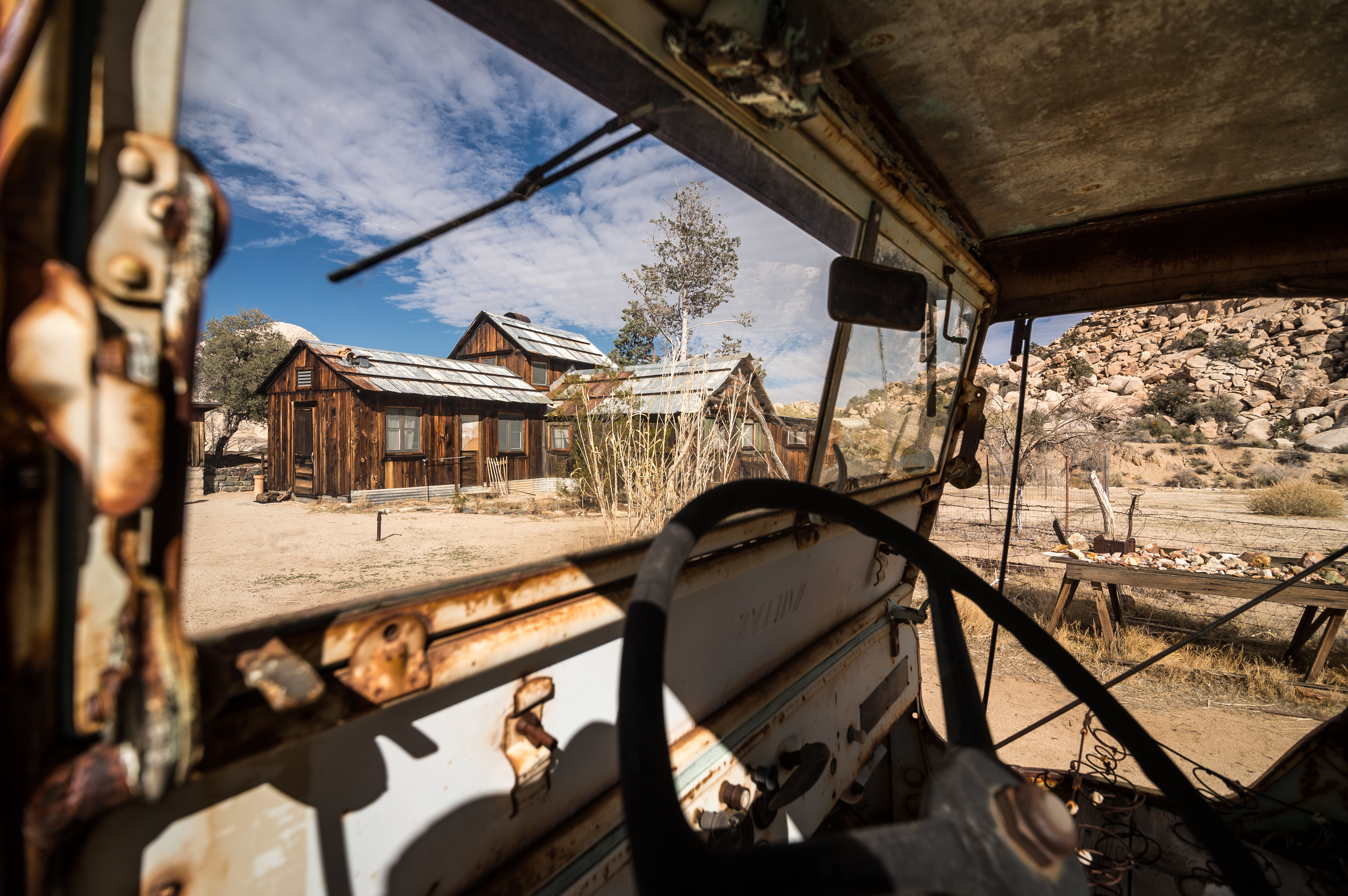
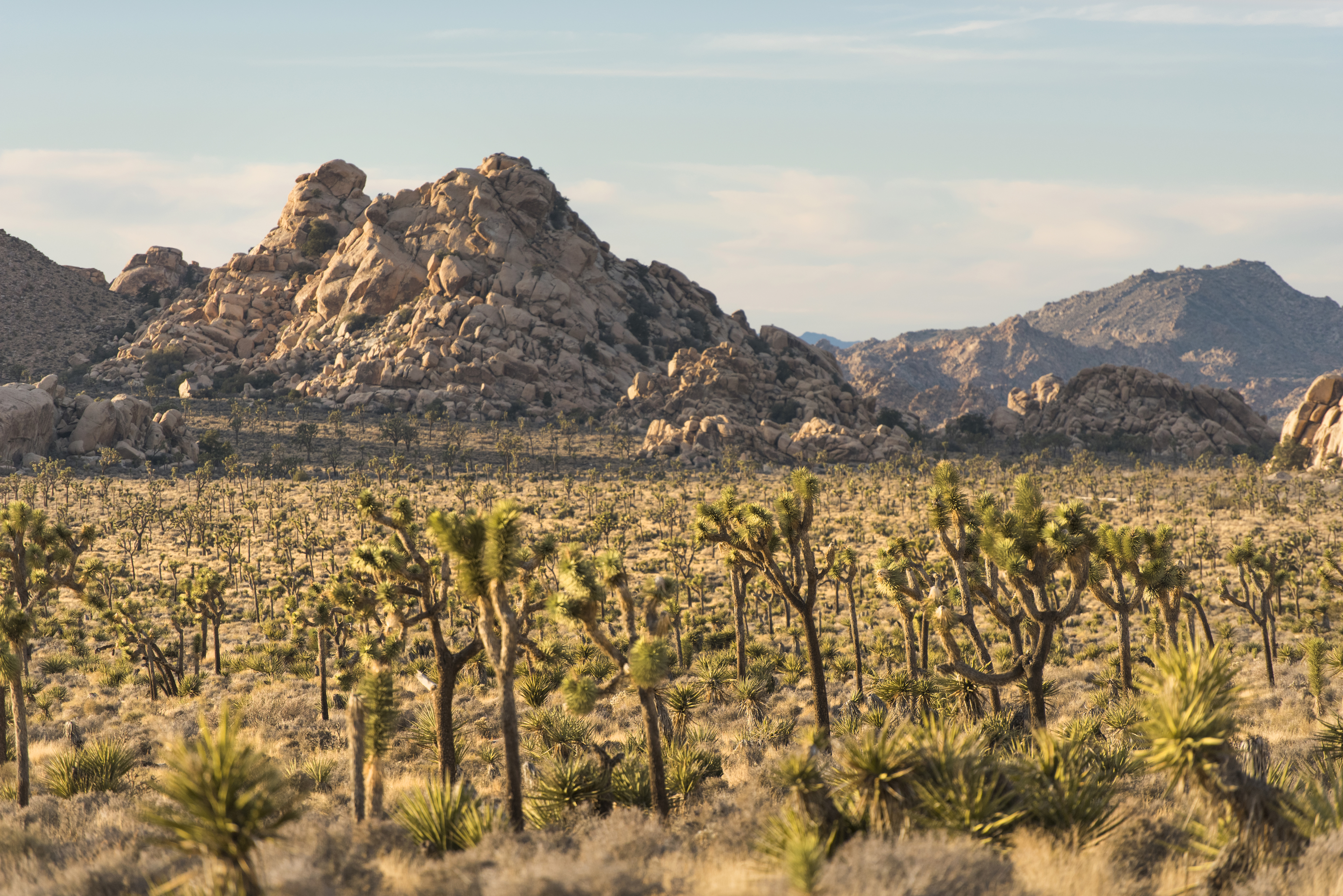
Two distinct desert ecosystems, the Mojave and the Colorado, come together in Joshua Tree National Park. A fascinating variety of plants and animals make their homes in a land sculpted by strong winds and occasional torrents of rain. Dark night skies, a rich cultural history, and surreal geologic features add to the wonder of this vast wilderness in southern California. Come explore for yourself!
Joshua Tree National Park is a US National Park located in southeastern California, straddling north-central Riverside County and part of southern San Bernardino County. Named after the endemic Joshua tree, found in the park and surrounding areas, Joshua Tree is situated some 130 miles (211 km) east of the city of Los Angeles and roughly 78 mi (125 km) east of the city of San Bernardino. Among some of the closest cities to the park are Indio, Palm Desert, and Palm Springs. Originally declared a national monument in 1936, Joshua Tree was redesignated as a national park in 1994 when the U.S. Congress passed the California Desert Protection Act.
From I-10, take exit 117 for CA Hwy 62 toward 29 Palms/Yucca Valley. This will allow you to access the West Entrance, the North Entrance, Black Rock, and Indian Cove. Take exit 168 off I-10 to come in at the park's South Entrance.
Days are typically clear with less than 25% humidity. Temperatures are most comfortable in the spring and fall, with an average highs around 85°F (29°C) and average lows around 50°F (10°C) respectively. Winter brings cooler days, around 60°F (15°C), and freezing nights. It occasionally snows at higher elevations. Summers are hot, over 100°F (38°C) during the day and not cooling much below 75°F (24°C) at night.
Source: National Park Service
7-day vehicle permit, admitting the passengers of a single, non-commercial vehicle on the day of purchase and for the next six days.
Valid for 7 days. Admits up to 2 private, non-commercial motorcycles with up to 4 total passengers.
7-day entrance fee, per person on foot or bike.
Park facts, fees, and activities confirmed against the National Park Service registry.
National Park Service registryChecked 2026-08-04
- Stargazing at Joshua Tree
Enjoy Joshua Tree National Park's amazing night sky.
- Hike Cholla Cactus Garden
An easy quarter mile hike through a cholla patch along Pinto Basin Road.
- Hike Skull Rock
A relatively flat, 1.7-mile loop trail. Hike through the large, granite boulder fields around the Jumbo Rocks area, including one near Park Boulevard that closely resembles a Skull.
- Attend a Ranger Stroll
Join a ranger on an educational stroll.
- Birding at Joshua Tree
Joshua Tree National Park offers a wide range of birds for birders to discover.
- Hike Boy Scout Trail
Explore the Wonderland of Rocks on the Boy Scout Trail.
- Hike Fortynine Palms Oasis
A difficult three mile hike to a desert oasis.
- Drive Park Boulevard
A scenic drive through Joshua Tree National Park.
Source: National Park Service
Where is Joshua Tree National Park?
Joshua Tree National Park is in California.
When was Joshua Tree National Park established?
Joshua Tree National Park was established in 1994.
How big is Joshua Tree National Park?
Joshua Tree National Park covers 1,242 square miles (795,156 acres).
How much does it cost to enter Joshua Tree National Park?
Joshua Tree National Park charges $30 per private vehicle. Other rates apply to motorcycles, cyclists and walk-ins, and some parks add their own reservation or surcharge on top.
Can you camp in Joshua Tree National Park?
Yes. The National Park Service runs 9 campgrounds in Joshua Tree National Park, with 501 campsites between them.
Does Joshua Tree National Park have a visitor center?
Yes. Joshua Tree National Park has 4 visitor centers: Black Rock Nature Center, Cottonwood Visitor Center, Joshua Tree National Park Visitor Center, Joshua Tree Visitor Center.
Day trips start here
- Joshua Tree National Park · 2 mi
- Riverside County · 12 mi
- Coachella · 21 mi
- Twentynine Palms · 21 mi
- Indio · 22 mi
- La Quinta · 26 mi
Drive Joshua Tree with Byway
Byway plans the scenic day around Joshua Tree — real places, real weather, every stop verified. Zero hallucinations. Google Maps for turns. Byway for soul.