Spud Rock Spring
32.2042, -110.5321 · Park boundary: National Park Service
Make Spud Rock Spring part of the drive.
Byway plans around your taste, verified places, real weather and opening hours — then opens every leg in Google Maps with one tap.
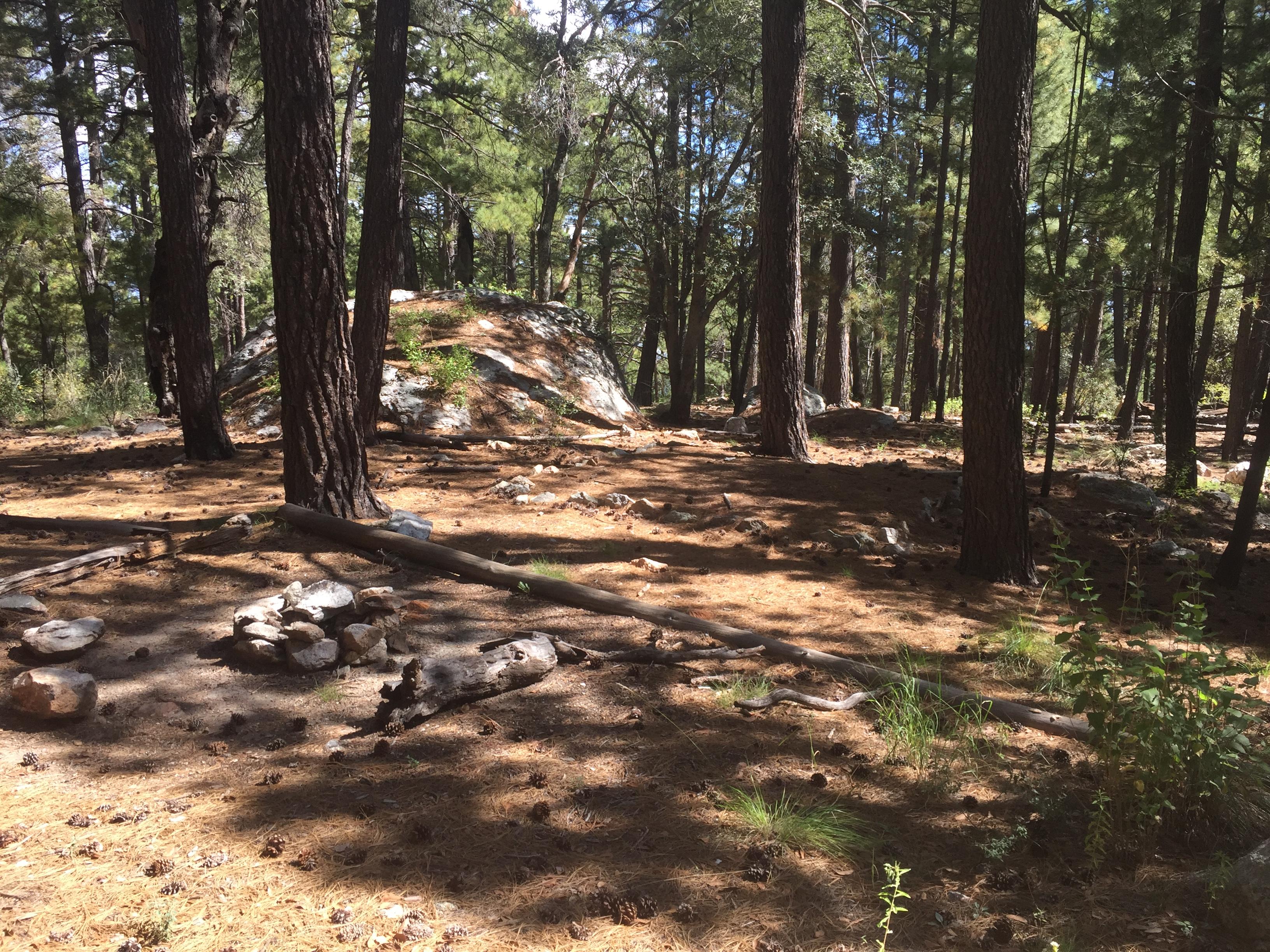
- 3 campsites (6 people max per site) *This campground is hike in only! Spud Rock is the most isolated of our six campgrounds, sitting on the east side of the range at 7200 feet. Access is generally from the east, but Turkey Creek trailhead is very difficult to drive and requires a lifted truck or a jeep. At the very least, you will need a vehicle with four-wheel drive. Also, make sure to check the conditions of the road before heading out as it can become muddy and treacherous after some rain.
- Every day
- All Day
This campground is hike in only, and open 24/7. Reservations can be made on reservation.gov
All campsites have the same fee, $8 per campsite with a 50% discount to those with a senior or access pass ($4). Each campsite has a maximum capacity of 6 people per group, for groups larger than 6 an additional campsite must be reserved and paid for.
All campsites have the same fee, $8 per campsite with a 50% discount to those with a senior or access pass ($4). Each campsite has a maximum capacity of 6 people per group, for groups larger than 6 an additional campsite must be reserved and paid for.
All campsites have the same fee, $8 per campsite with a 50% discount to those with a senior or access pass ($4). Each campsite has a maximum capacity of 6 people per group, for groups larger than 6 an additional campsite must be reserved and paid for.
- RVs
- Not allowed
- Trailers
- Not allowed
Location, hours, and facility details confirmed against the National Park Service registry.
National Park Service registryChecked 2026-08-04
What is the maximum RV length at Spud Rock Spring?
Spud Rock Spring does not take RVs.
How much does it cost to camp at Spud Rock Spring?
Spud Rock Spring in Saguaro National Park charges between $4 and $8 per night, depending on the site type.
Drive to Spud Rock Spring
Byway plans the scenic way in — real places, real weather, every stop verified. Zero hallucinations. Google Maps for turns. Byway for soul.