Virgin Islands National Park

Official park boundary · National Park Service
Take the scenic way to Virgin Islands National Park.
Byway plans around your taste, verified places, real weather and opening hours — then opens every leg in Google Maps with one tap.
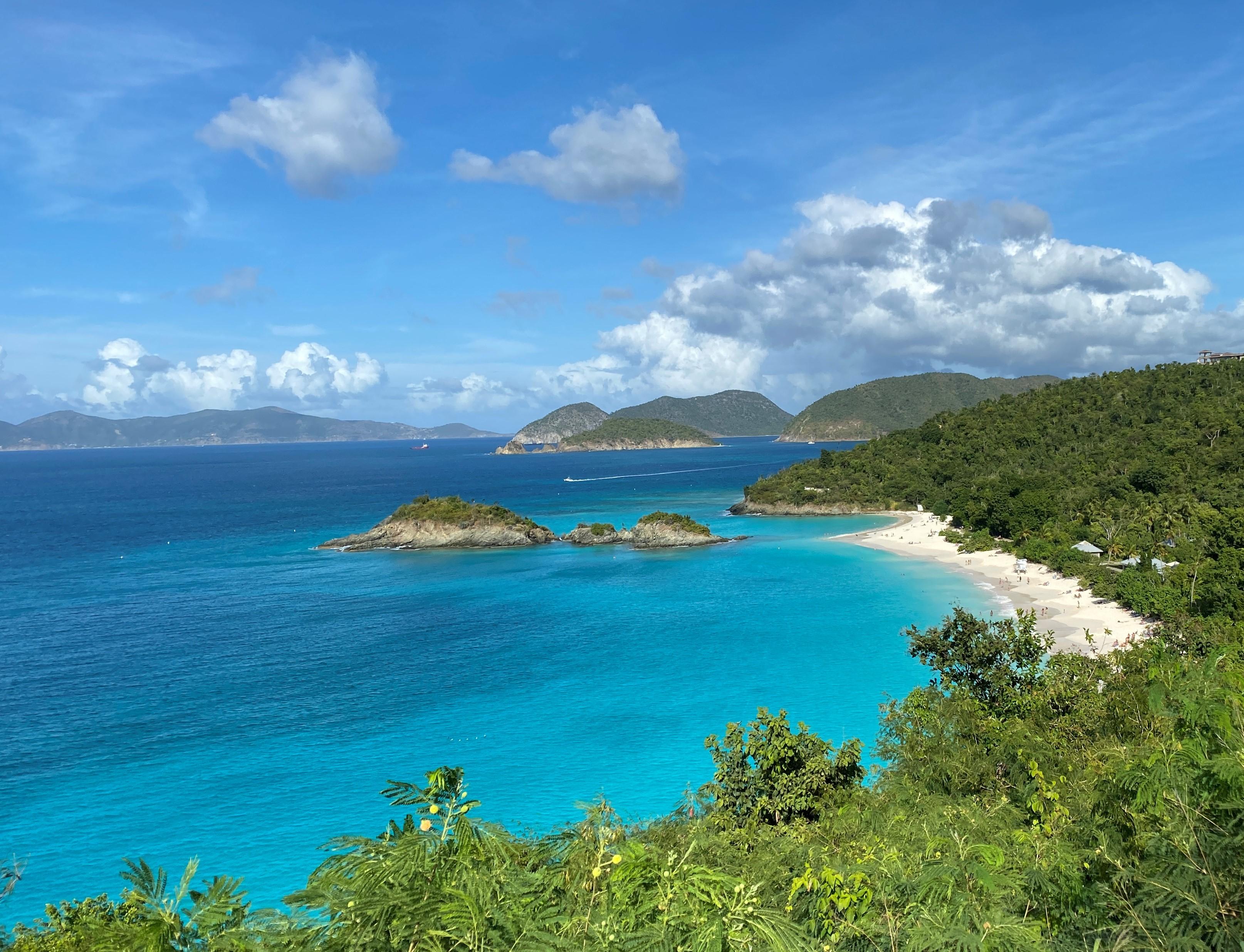
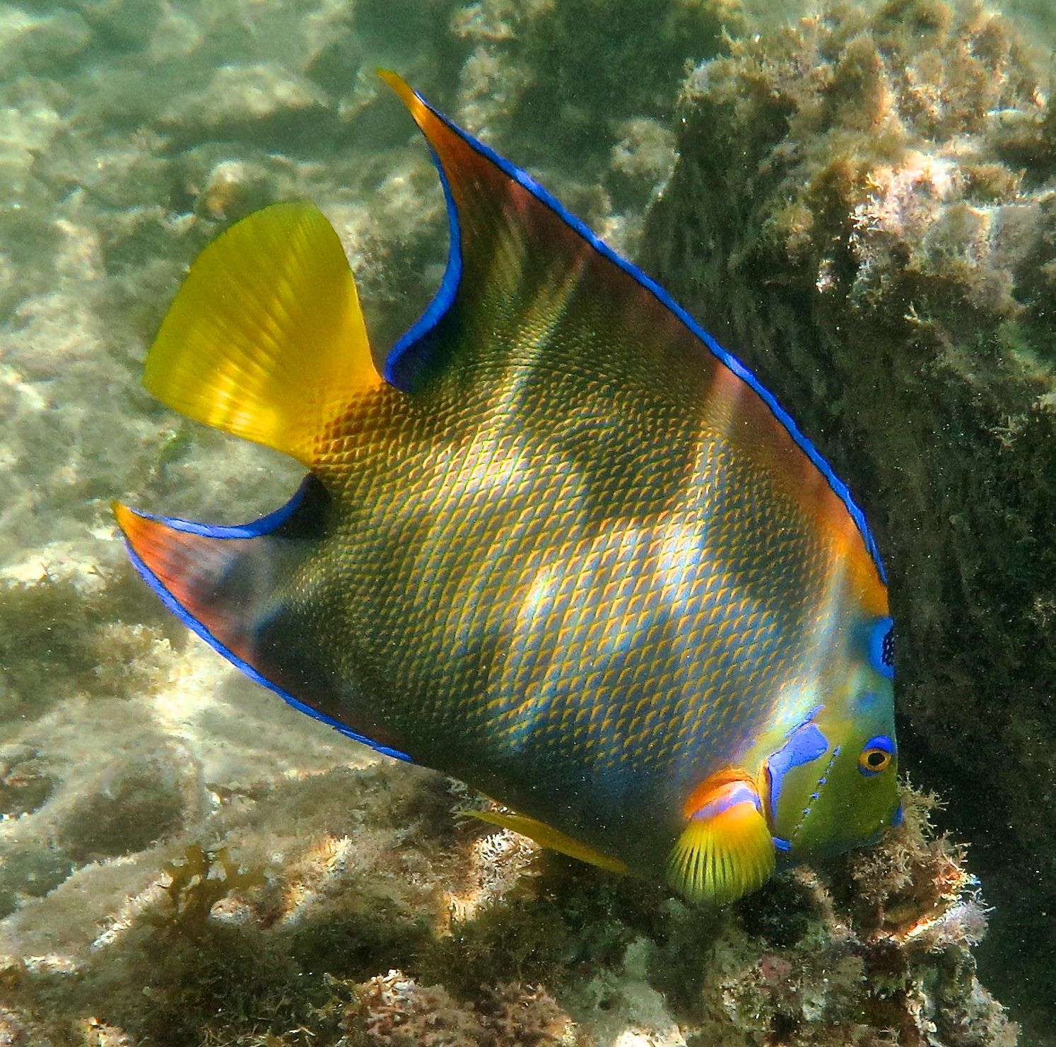
Go beyond Virgin Islands National Park's stunning white-sand beaches. Hike to historic plantation sites to learn about a challenging past when sugar and enslaved labor dominated life on the island. Visit the Indigenous Taino's ancient petroglyphs. Snorkel coral reefs to discover hidden marine life. Two-thirds of the island of St. John is national park, making it a unique destination for visitors.
The Virgin Islands National Park is a national park of the United States preserving about 60% of the land area of Saint John, U.S. Virgin Islands, as well as more than 5,500 acres of adjacent ocean, and nearly all of Hassel Island, just off the Charlotte Amalie, Saint Thomas harbor.
There are no airports on St. John so you must fly to the St. Thomas Cyril E. King Airport (code STT) and travel from there. From the airport you rent a car and drive or take a taxi to Redhook (west end) St. Thomas. From there you can either take a car barge to St. John or the people ferry. Once on St. John you can easily walk from the ferry terminal to the Visitor Center.
Mostly Perfect! The Tradewinds (the Easterlies) dominate the weather in the Virgin Islands, blowing east to west across the tropical Atlantic. The winter tends to bring stronger winds and less rain, and the summer tends to bring more rain and lighter winds. Be sure to check the forecast often during hurricane season or winter swell events.
Source: National Park Service
Park facts, fees, and activities confirmed against the National Park Service registry.
National Park Service registryChecked 2026-08-04
- Reef Bay Trail
Reef Bay Trail is a strenuous hike that will take you past some of the oldest and tallest trees on the island. Danish sugar plantation ruins, stone walls from cattle grazing, and ancient rock carvings left behind by the pre-Colombian Taino can be found along the trail.
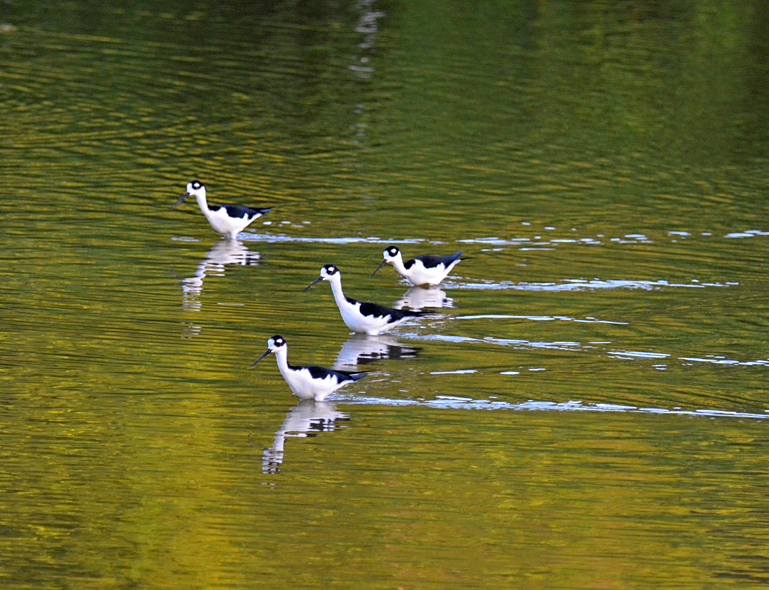
- Discover Bird Watching in the Virgin Islands
Join our Park Ranger for a tour of Francis Bay Trail and the nearby salt pond. While there you will enjoy to opportunity to view the many resident and migratory birds that call Francis Bay home.
- Tektite Trail
The trailhead can be found to the right of Lameshur Road at the first switchback. The .7 mile trail begins with a moderately strenuous ascent on the Cabritte Horn Point. Hike through the desert-like terrain to reach scenic views atop coastal cliffs.
- Maho Bay
The perfect experience for sea turtle lovers!
- Trunk Bay Underwater Snorkel Trail
This unique underwater trail is a great way to learn about the diverse animals of the coral reef habitat.
- Annaberg Sugar Plantation
Take a self-guided tour of the Annaberg Sugar Plantation and immerse yourself in the time when "Sugar was King" on the island. Volunteer docents are often available during weekdays to answer questions.
- Cinnamon Bay Nature Loop And Accessible Trail
Cinnamon Bay Plantation was established in 1717 and was one of the earliest and most prosperous sugar plantations on the Island.
- Johnny Horn Trail
This strenuous trail leads to the remains of some beautiful stone historic sites and incredible views.
Source: National Park Service
Where is Virgin Islands National Park?
Virgin Islands National Park is in U.S. Virgin Islands.
When was Virgin Islands National Park established?
Virgin Islands National Park was established in 1956.
How big is Virgin Islands National Park?
Virgin Islands National Park covers 24 square miles (15,052 acres).
Can you camp in Virgin Islands National Park?
Yes. The National Park Service runs 1 campground in Virgin Islands National Park, with 121 campsites between them.
Does Virgin Islands National Park have a visitor center?
Yes. Virgin Islands National Park has 1 visitor center: Cruz Bay Visitor Center.
Drive Virgin Islands with Byway
Byway plans the scenic day around Virgin Islands — real places, real weather, every stop verified. Zero hallucinations. Google Maps for turns. Byway for soul.