Yakutat
59.5489, -139.7288 · Park boundary: National Park Service
Take the scenic way to Yakutat.
Byway plans around your taste, verified places, real weather and opening hours — then opens every leg in Google Maps with one tap.
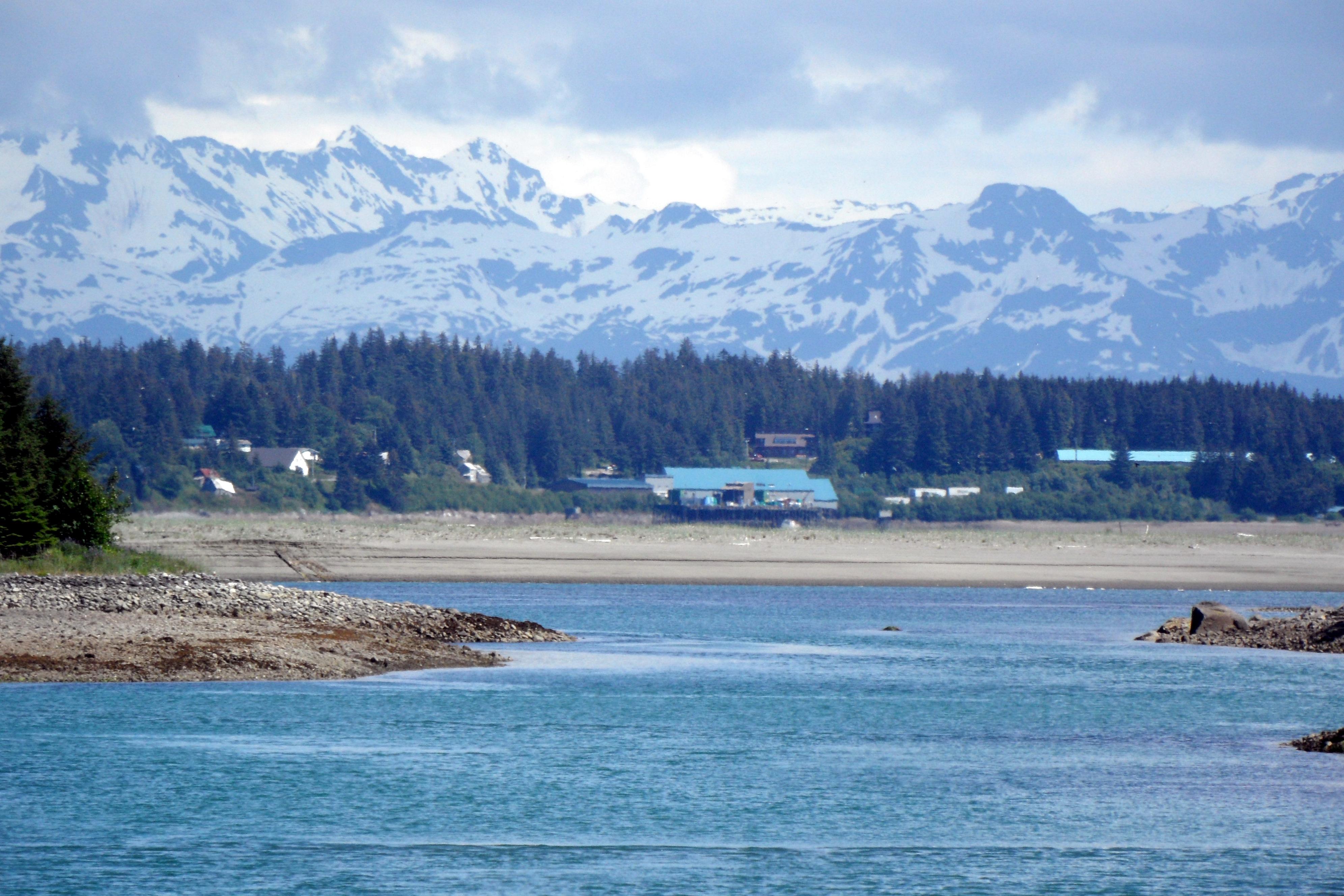
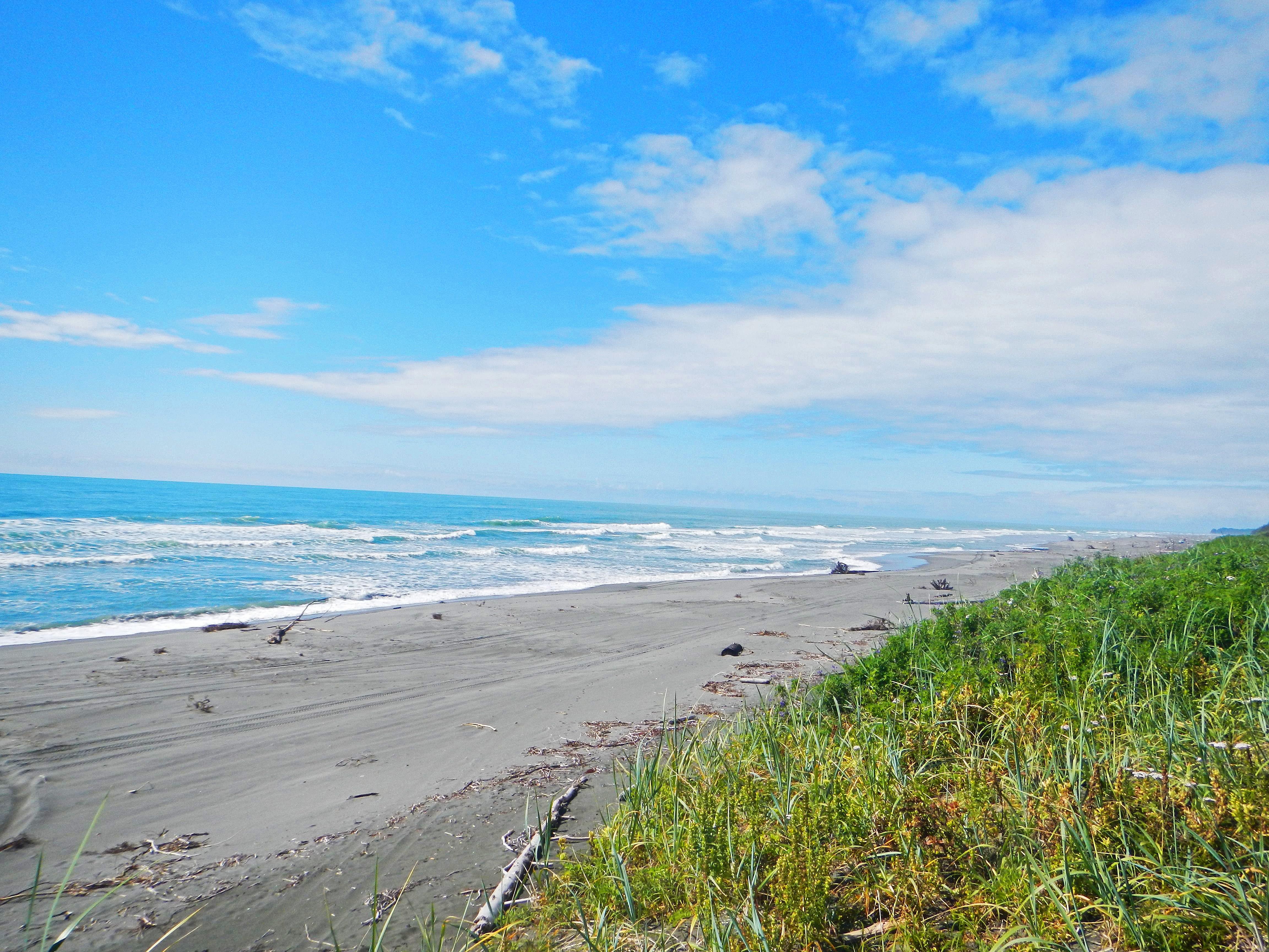
Yakutat is located in the southern portion of the park along the coastline in Yakutat Bay at the base of the St. Elias Mountains. Accessible only by plane or boat, this area encompasses the park's coastal region, with 155 miles of little-known coastline, where giant mountains, enormous glaciers, and temperate rainforest meet the ocean. For information, please call Park Headquarters in Copper Center at (907) 822-5234.
Hubbard Glacier, Yakutat, Alaska
Yakutat is a remote community and, like many cities in Southeast Alaska, can only be accessed by air or water. Alaska Airlines offers daily jet passenger and freight service to and from both Juneau and Anchorage. Flight times vary depending on the season. The local airport is 4 miles southeast of the city of Yakutat. The Alaska State Ferry System offers a stop in Yakutat, but does not service the community year-round.
Yakutat is located in the southern portion of the park along the coastline in Yakutat Bay at the base of the St. Elias Mountains. Accessible only by plane or boat, this area encompasses the park's coastal region, with 155 miles of little-known coastline, where giant mountains, enormous glaciers, and temperate rainforest meet the ocean. For information, please call Park Headquarters in Copper Center at (907) 822-5234.
Location, hours, and facility details confirmed against the National Park Service registry.
National Park Service registryChecked 2026-08-04
Where is Yakutat?
Yakutat in Wrangell–St. Elias National Park is at Wrangell-St Elias National Park and Preserve, Yakutat, AK.
What services does Yakutat offer?
Yakutat in Wrangell–St. Elias National Park lists beach/water access, canoe/kayak/small boat launch, scenic view/photo spot, trailhead.
Is there a passport stamp at Yakutat?
Yes. Yakutat in Wrangell–St. Elias National Park is a National Park Passport stamp location. Hubbard Glacier, Yakutat, Alaska
What is the phone number for Yakutat?
Yakutat in Wrangell–St. Elias National Park can be reached on 9078225234.
Drive to Yakutat
Byway plans the scenic way in — real places, real weather, every stop verified. Zero hallucinations. Google Maps for turns. Byway for soul.