Wrangell–St. Elias National Park

Official park boundary · National Park Service
Take the scenic way to Wrangell–St. Elias National Park.
Byway plans around your taste, verified places, real weather and opening hours — then opens every leg in Google Maps with one tap.
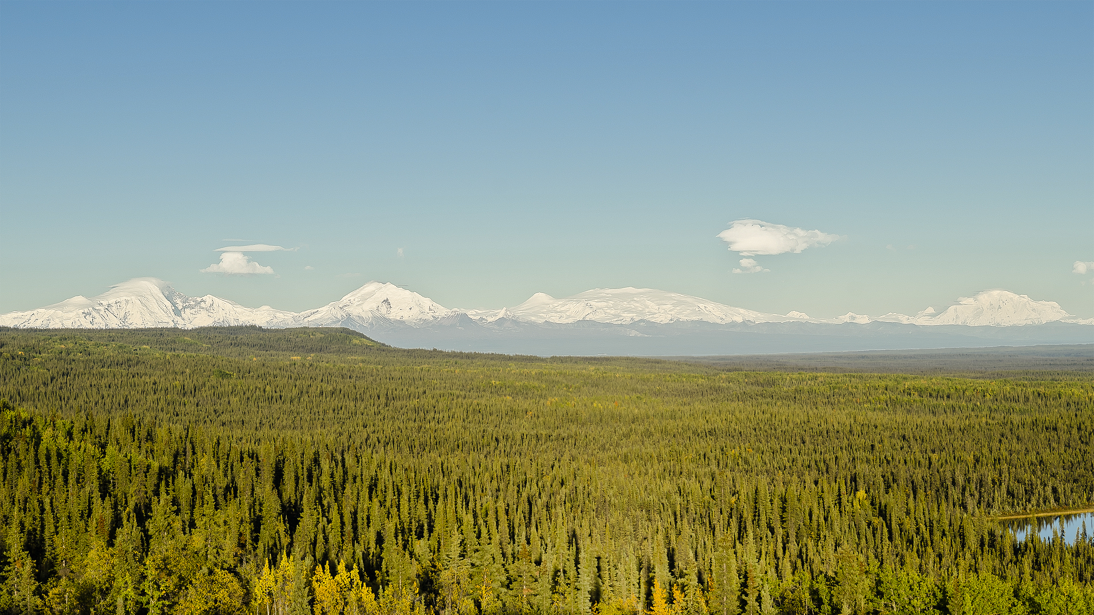
Wrangell-St. Elias is a vast national park that rises from the ocean all the way up to 18,008 ft. At 13.2 million acres, the park is the same size as Yellowstone National Park, Yosemite National Park, and Switzerland combined! Within this wild landscape, people continue to live off the land as they have done for centuries. This rugged, beautiful land is filled with opportunities for adventure.
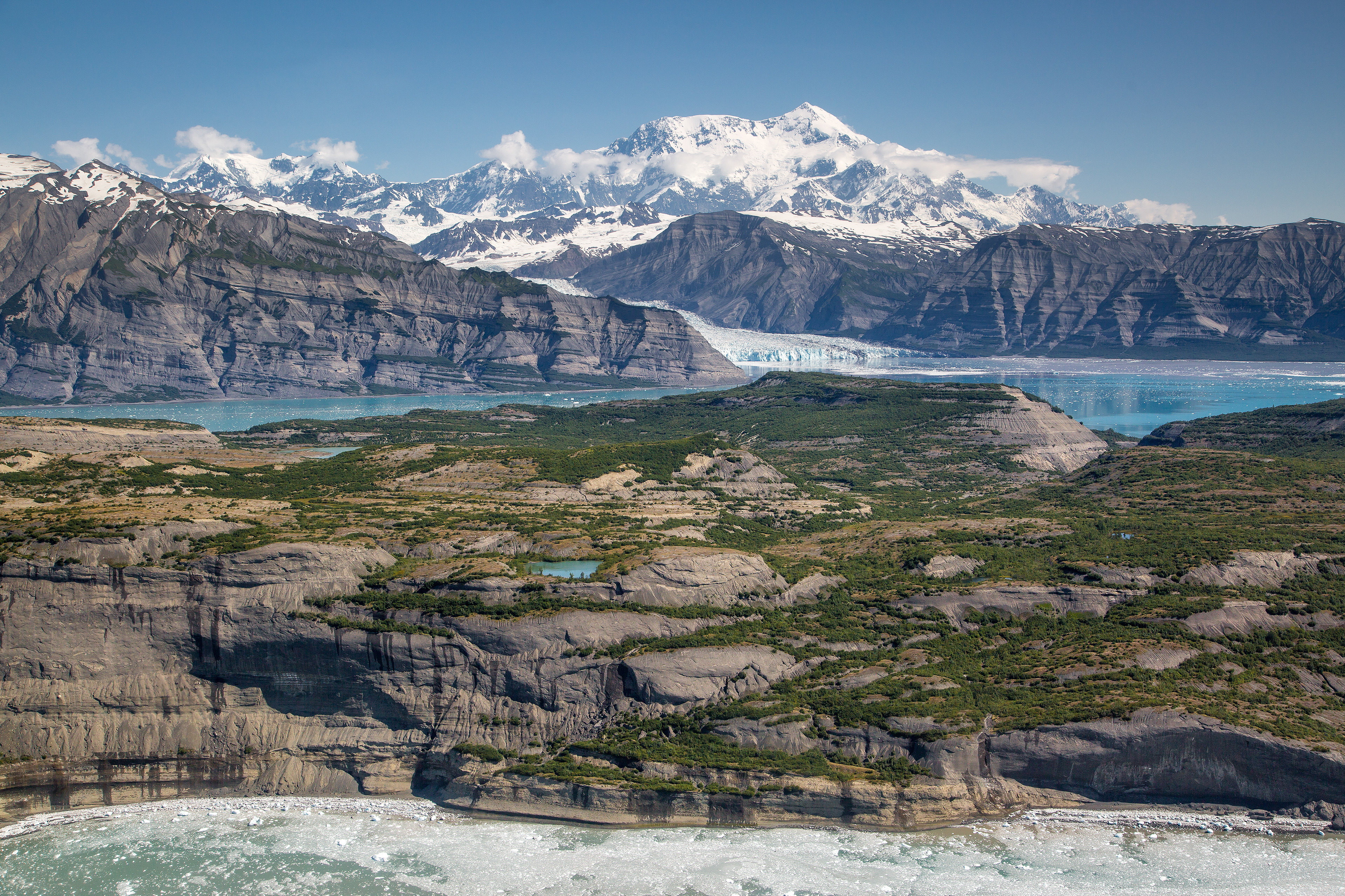
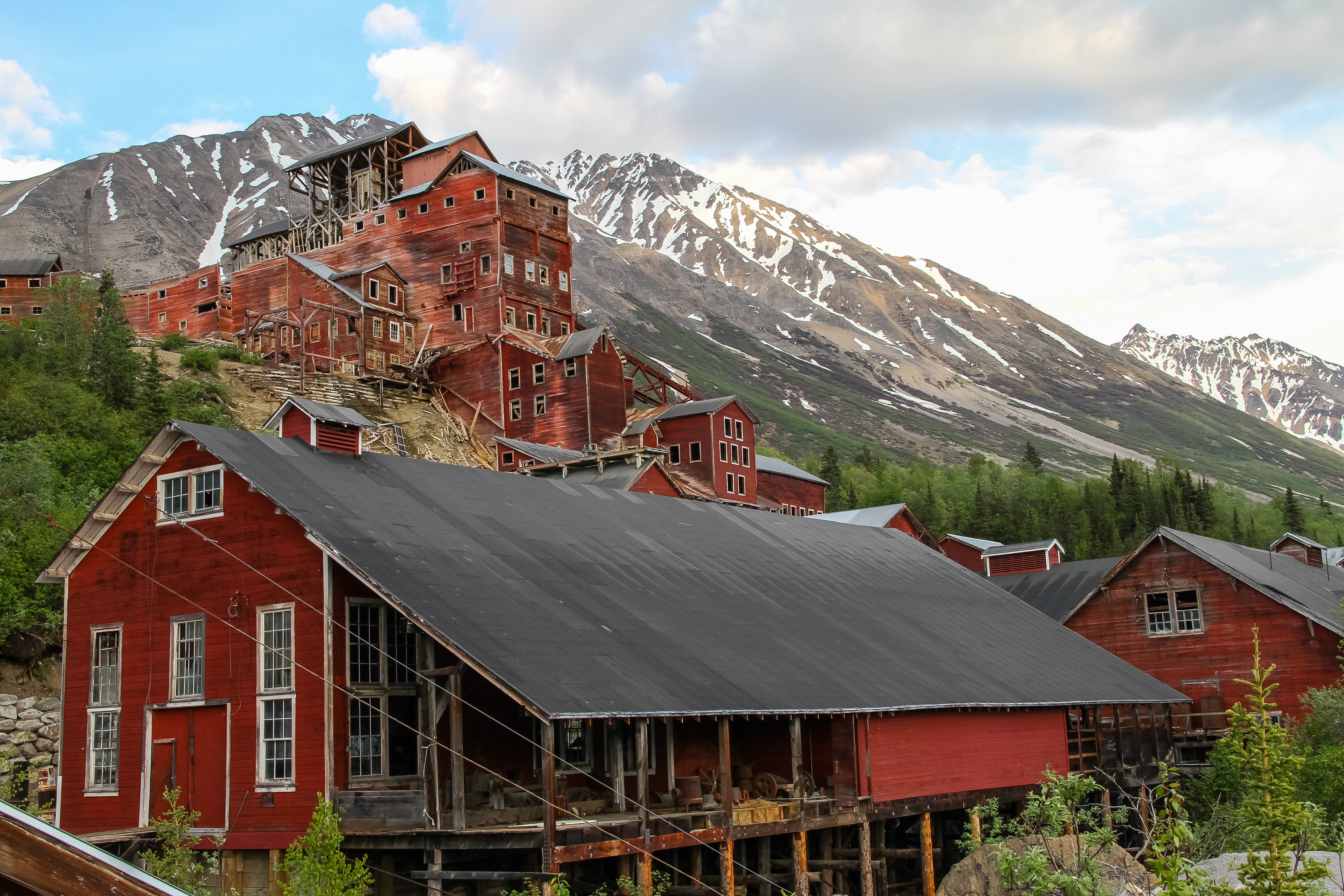
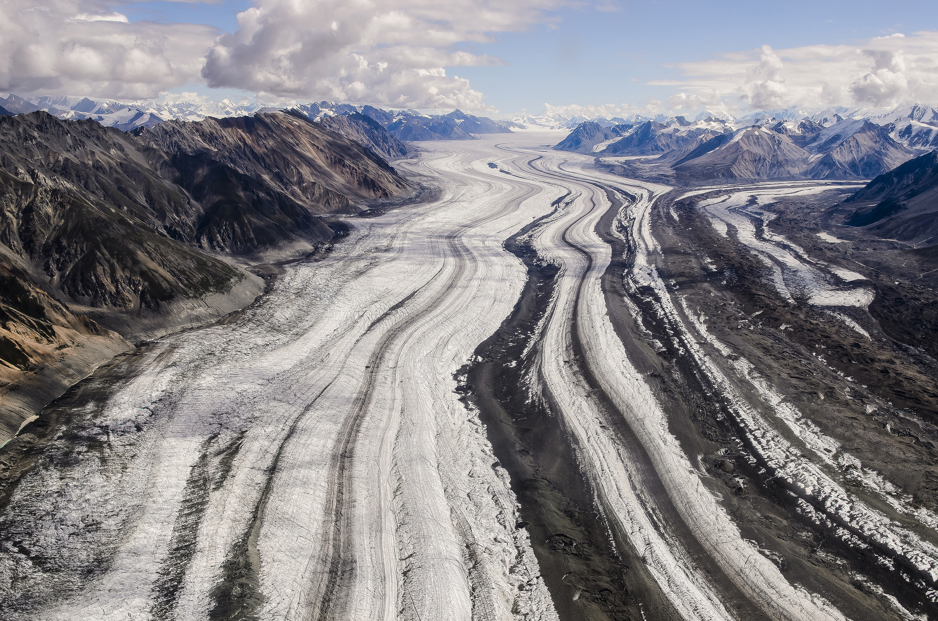
Wrangell–St. Elias National Park and Preserve is a United States national park and preserve in south central Alaska. The park, the largest in the United States, covers the Wrangell Mountains and a large portion of the Saint Elias Mountains, which include most of the highest peaks in the United States and Canada, yet are within 10 miles (16 km) of tidewater, one of the highest reliefs in the world. The park's high point is Mount Saint Elias at 18,008 feet (5,489 m), the second tallest mountain in both the United States and Canada. The park has been shaped by the competing forces of volcanism and glaciation, with its tall mountains uplifted by plate tectonics. Mount Wrangell and Mount Churchill are among major volcanos in these ranges. The park's glacial features include Malaspina Glacier, the largest piedmont glacier in North America, Hubbard Glacier, the longest tidewater glacier in Alaska, and Nabesna Glacier, the world's longest valley glacier. The Bagley Icefield covers much of the park's interior, which includes 60% of the permanently ice-covered terrain in Alaska. At the center of the park and preserve, the boomtown of Kennecott exploited one of the world's richest deposits of copper from 1903 to 1938. The abandoned mine buildings and mills comprise a National Historic Landmark district.
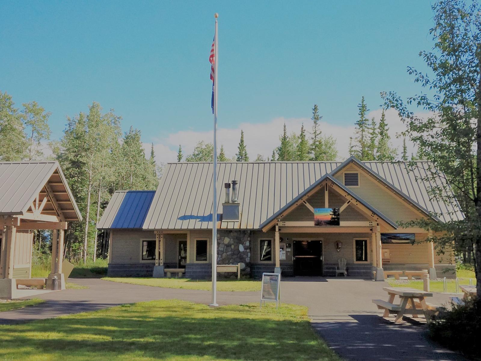
The administrative building and main park visitor center are located along the Richardson Highway (Hwy 4), which is a paved state highway that runs through Copper Center, AK. The buildings are 8 miles south of the Glenn Highway and Richardson Highway intersection near Glennallen, Alaska. This is approximately 200 miles east of Anchorage, AK and 250 miles south of Fairbanks, AK.
Varies widely depending on location in park and time of year. Visit https://www.nps.gov/wrst/planyourvisit/weather.htm for detailed information.
Source: National Park Service
Park facts, fees, and activities confirmed against the National Park Service registry.
National Park Service registryChecked 2026-08-04
- Fishing at Wrangell-St. Elias
Sport fishing in Wrangell-St. Elias National Park offers many opportunities. Arctic grayling, dolly varden, lake trout, steelhead/rainbow trout, whitefish, sockeye salmon, coho salmon, and chinook salmon are widespread.
- Ghost Towns
Ghost towns were once thriving communities that have dwindled over the decades, often created by the search for gold, copper and other valuable minerals.
- Front country Hiking Trails
Hiking in Wrangell-St. Elias can be spectacular and we encourage you to go, but be prepared! Most of the front country hiking trails are maintained for the first few miles and then become routes into the backcountry, where route finding and navigational skills are highly recommended.
- Backpacking in Wrangell-St Elias
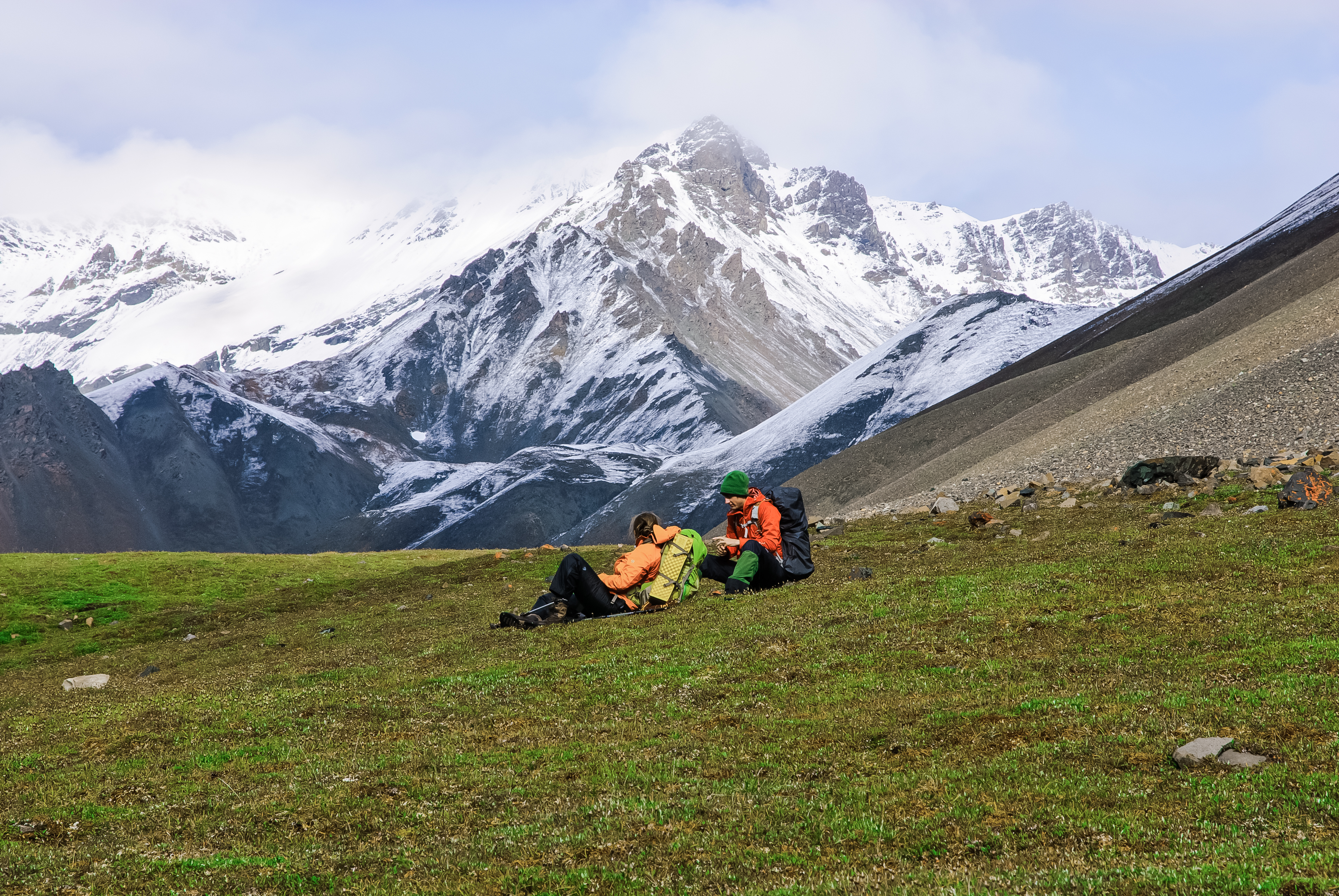
A backpacking trip in Wrangell-St. Elias National Park and Preserve can be an exciting and rewarding experience if you are prepared for the difficulties of traveling through rugged, undeveloped land.
- Webcams
Webcam views from the Visitor Center at Park Headquarters in Copper Center, Kennecott Mill and Mt. Blackburn and Kennicott Glacier and the Chugach Range.
- Virtual Tours
Explore with geologists and their helicopter pilot around Kennicott Glacier on an interactive website virtual tour to learn how National Park Service staff monitor changes in the size of the glacier! Check out the Terrestrial LiDAR Scanning Project with 3-D data collected which provides precise meas…
- McCarthy Road -- Drive, Hike, Bike, View Wildlife, Picnic & Scenic Vistas.
Drive, Hike, Bike, View Wildlife, Picnic & Scenic Vistas on McCarthy Road.
- Nabesna Road -- Drive, Hike, Bike, View Wildlife, Picnic & Scenic Vistas.
Drive, Hike, View Wildlife, Picnic & Scenic Vistas on Nabesna Road
Source: National Park Service
Where is Wrangell–St. Elias National Park?
Wrangell–St. Elias National Park is in Alaska.
When was Wrangell–St. Elias National Park established?
Wrangell–St. Elias National Park was established in 1980.
How big is Wrangell–St. Elias National Park?
Wrangell–St. Elias National Park covers 13,005 square miles (8,323,146 acres).
Can you camp in Wrangell–St. Elias National Park?
Yes. The National Park Service runs 1 campground in Wrangell–St. Elias National Park, with 10 campsites between them.
Does Wrangell–St. Elias National Park have a visitor center?
Yes. Wrangell–St. Elias National Park has 5 visitor centers: Chitina Ranger Station, Kennecott Visitor Center, Slana Ranger Station, Wrangell-St. Elias Visitor Center in Copper Center, Yakutat.
Drive Wrangell–St. Elias with Byway
Byway plans the scenic day around Wrangell–St. Elias — real places, real weather, every stop verified. Zero hallucinations. Google Maps for turns. Byway for soul.