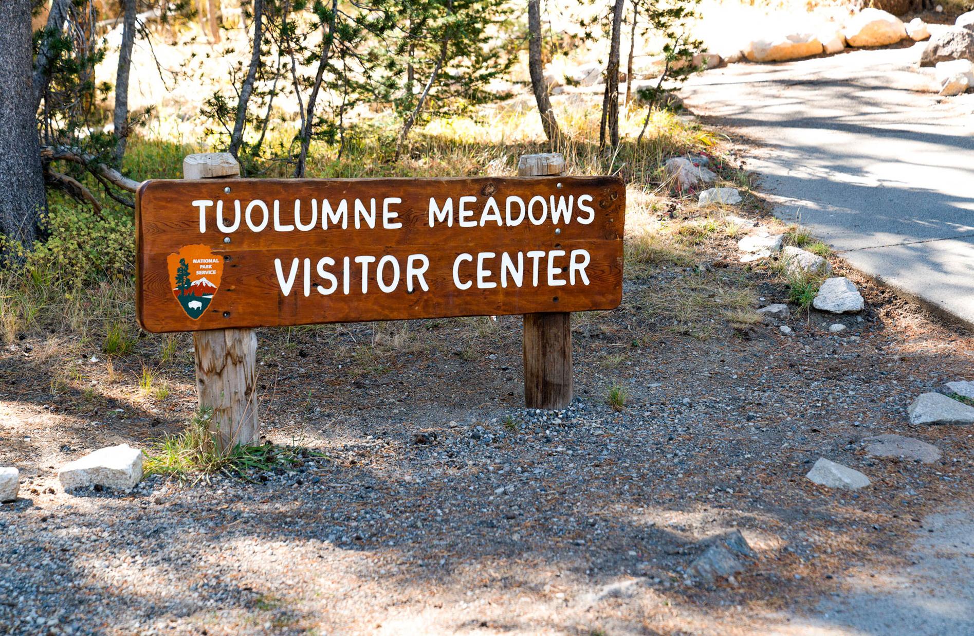
Tuolumne Meadows Visitor Center
37.8716, -119.3742 · Park boundary: National Park Service
Take the scenic way to Tuolumne Meadows Visitor Center.
Byway plans around your taste, verified places, real weather and opening hours — then opens every leg in Google Maps with one tap.
The Tuolumne Meadows Visitor Center has an information desk, Yosemite Conservancy bookstore, and an exhibit area detailing the area's geology, plant and animal life, and history. A designated accessible parking space and entrance are available. From the main parking lot, drive up the service road to the visitor center. Park in the designated accessible parking space and follow the paved path in front of the visitor center to the rear entrance. Accessible restrooms are adjacent to the main parking lot.
- Every day
- 9:00AM - 5:00PM
Open approximately late May to late September.
- Winter closure · Sep 29, 2026 – Jun 5, 2027 · Closed
Tuolumne Meadows Visitor Center is a Passport To Your National Parks stamp location.
The Tuolumne Meadows Visitor Center is located along the Tioga Road (continuation of Highway 120 inside the park) approximately 50 miles from Yosemite Valley and 8 miles from Tioga Pass in the northeast portion of the park.
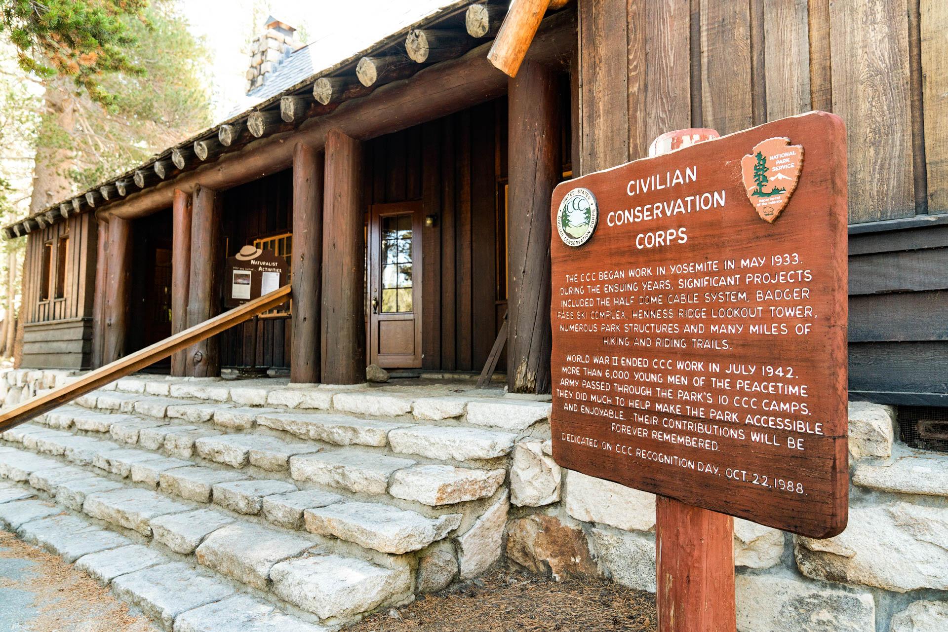
The Tuolumne Meadows Visitor Center is located on a small hill overlooking its parking lot. A narrow service road leads up to the Visitor Center building, however, a posted sign reads, road closed! Service vehicles and vehicles with accessibility placards only. The building is a brown building with wood paneling and has a shingled roof and stone chimney. It has a stone foundation and long stone steps that extend across the length of the front porch, giving access to the wooden, double-door entrance. In front of the building is a wood sign that reads, Civilian Conservation Corps. The CCC began work in Yosemite in May 1933. During the ensuing years, significant projects included the Half Dome cable system, Badger Pass Ski Complex, Henness Ridge lookout tower, numerous park structures and many miles of hiking and riding trails. World War II ended CCC work in July 1942. More than 6,000 young men of the peacetime army passed through the park's 10 CCC camps. They did much to help make the park accessible and enjoyable. Their contributions will be forever remembered. Dedicated on CCC Recognition Day, October 22, 1988. The United States Civilian Conservation Corps logo and National Park Service logo are in the upper left and right corner of the sign. To the right side of the building is one designated accessible parking spot, and in front of the building, across a service road that leads to residential housing, is a brown trash bin, a green recycle bin, and a flag pole waving the American flag. Down in the parking area, on the east side, is a long brown building with a covered porch and wood railings, which houses the men's and women's restroom. Along the paved pathway that leads from the restrooms, up the hill, to the visitor center are some trash and recycle bins, and four exhibit panels. Three of the panels are joined together. Of the three panels, the left panel is titled, Exploring Yosemite, and has an illustration of two people hiking on a trail below steep mountains. Caption: Yosemite is famous for its sheer cliffs, towering waterfalls, and huge trees. Surrounded by this grandeur, take time to shift your focus from large to small. Discover a more intimate wilderness - a Giant Sequoia seedling, tiny meadow wildflowers, or the changing light on a cliff face. North Country - The Tioga Road (usually open from late May until early November) traverses a setting of high country lakes, meadows, and mountain peaks. At 8600 feet in elevation, Tuolumne Meadows is a wilderness threshold. The Visitor Center, open and staffed during summer, houses exhibits and offers park information and publications. South Country - Walk among ancient Giant Sequoias in the Mariposa Grove. (The Tuolumne and Merced Groves are located near Crane Flat northwest of Yosemite Valley.) Experience part of Yosemite's past among the historic buildings of the Pioneer Yosemite History Center at Wawona. Glacier Point (accessible by car in summer and early fall) offers spectacular views of Yosemite Valley, Half Dome, and Vernal and Nevada Falls as well as a panorama of the High Sierra. In winter, Summit Meadow and Badger Pass are popular sites for cross-country and downhill skiing. Yosemite Valley - The waterfalls and monoliths of Yosemite Valley have inspired poets, painters, photographers, and millions of visitors for more than 100 years. The Valley Visitor Center offeres current park information, an orientation slide program, exhibits, book and map sales, and wilderness permits. A model Indian village and the Indian Cultural Museum adjoin the Visitor Center. Yosemite Valley is open year-round. Map: A small map outline of the entire park shows the main roads and areas. On the far left side of the park is a road that runs north to south. At the top point is Hetch Hetchy, coming down to Big Oak Flat, which has a campground and information station, then down to Crane Flat, which has a campground and a gas station with limited groceries. The road continues through a portion of Yosemite Valley, then onward past an intersection for Glacier Point Road, to Wawona and the Mariposa Grove of Giant Sequioas, which are at the bottom tip of the park. Gas, dining, groceries, and accomodations are available in the Wawona area. Just above Yosemite Valley is a road that extends from the left to the right of the park, which is the Tioga Road. Several campgrounds, White Wolf, Tenaya Lake, Tuolumne Meadows, and Tioga Pass are all labeled along Tioga Road. For information regarding park maps, call our park accessibility coordinator at (209) 379-1035. The middle panel is enclosed in glass and has a black and white photo of an elder man with wire rimmed glasses, wearing the National Park Service winter uniform. He has a collared shirt with a tie, and a dress jacket with chest pockets that are buttoned. A badge is above his left pocket and his name tag is above his right pocket. He is wearing a felt NPS hat with a leather band.
Location, hours, and facility details confirmed against the National Park Service registry.
National Park Service registryChecked 2026-08-04
What services does Tuolumne Meadows Visitor Center offer?
Tuolumne Meadows Visitor Center in Yosemite National Park lists gifts/souvenirs/books, historical/interpretive information/exhibits, information, information - maps available, information - park newspaper available, information - ranger/staff member present, restroom - accessible, restroom - seasonal, wheelchair accessible.
Is there a passport stamp at Tuolumne Meadows Visitor Center?
Yes. Tuolumne Meadows Visitor Center in Yosemite National Park is a National Park Passport stamp location.
What is the phone number for Tuolumne Meadows Visitor Center?
Tuolumne Meadows Visitor Center in Yosemite National Park can be reached on 209/372-0200.
Drive to Tuolumne Meadows Visitor Center
Byway plans the scenic way in — real places, real weather, every stop verified. Zero hallucinations. Google Maps for turns. Byway for soul.