Skip to content

Big Badlands Overlook

VerifiedOpenStreetMap + National Park Service
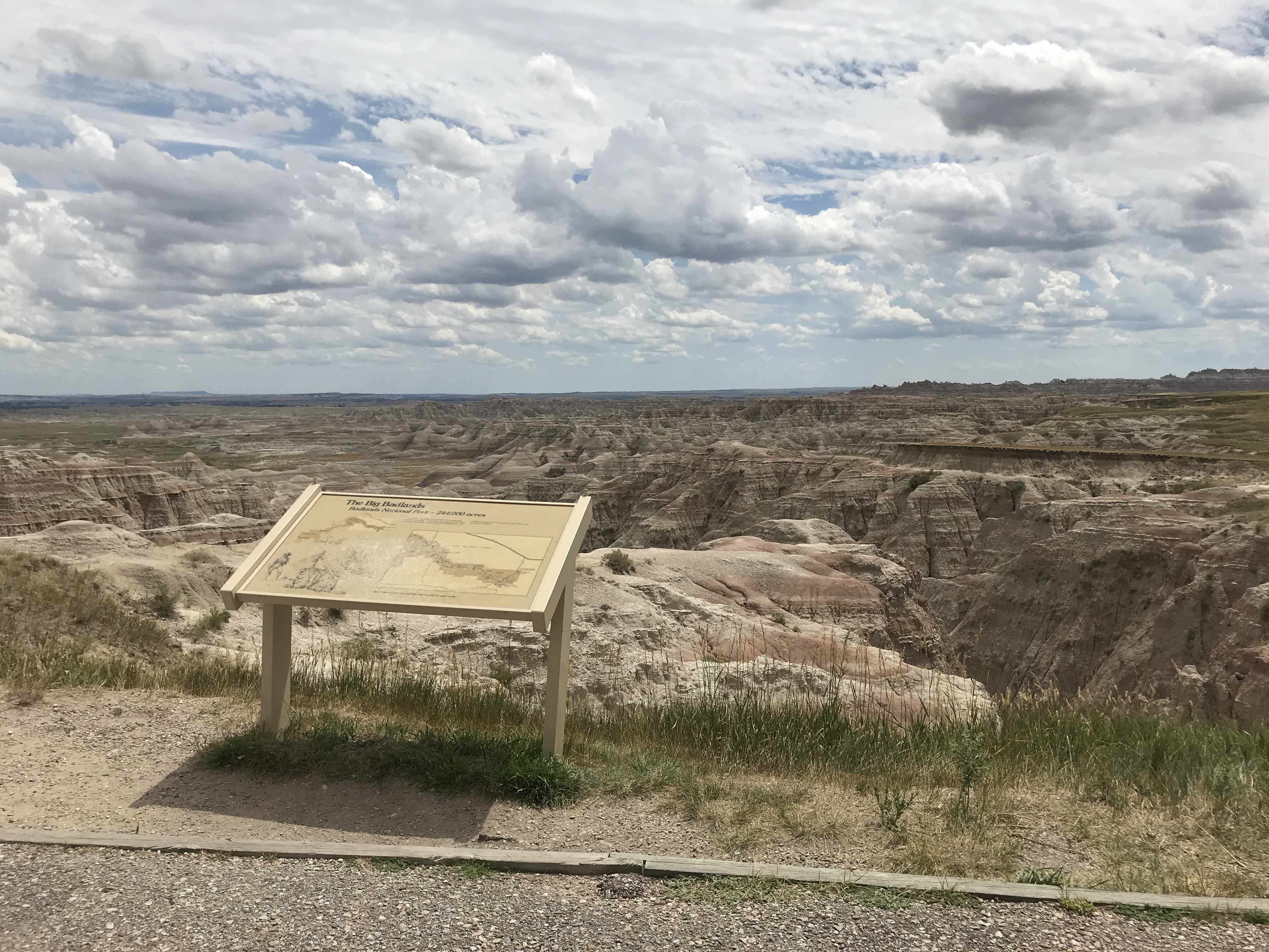
Looking south-east from Big Badlands Overlook. Terrain and imagery at true elevation.
Access
On the byway
Elevation
2,606 ft
View
Southeast · 150°
Relief
181 ft drop
In view
2 named features
Badlands formations erode at a rate of one inch a year, meaning they only have 500,000 years left!
NPS Photo / Serena Rosales · Public domain (NPS) · NPS
Badlands National Park
w_lemay · CC BY-SA 2.0 · source
Badlands National Park
w_lemay · CC BY-SA 2.0 · source
Badlands National Park
w_lemay · CC BY-SA 2.0 · source
Badlands National Park
w_lemay · CC BY-SA 2.0 · source
Badlands National Park
w_lemay · CC BY-SA 2.0 · source

What you’re looking at

Named terrain inside the view from this overlook, nearest first.

  • Flat Top Butte2,487 ftsouth-southeast · 4.9 mi
  • School Section Butte2,436 ftsouth-southeast · 6.1 mi

Light

DateSunriseSunsetGolden hour
March equinox06:5219:0018:22
June solstice05:0620:3419:50
September equinox06:3618:4718:09
December solstice07:1916:1415:27

Local time (America/Denver). Computed for this exact position.

Where it is

  • Kadoka19.7 mi east
  • Philip21.1 mi north-northeast
  • Wall22.2 mi northwest
Loading map…
Private beta · Free to join

Take the scenic way to Big Badlands Overlook.

Byway plans around your taste, verified places, real weather and opening hours — then opens every leg in Google Maps with one tap.

Private beta · Free to join · No card · Invite when a spot opens

Big Badlands Overlook · National Park Service

Big Badlands Overlook provides the opportunity to view the eastern portion of the Badlands wall, and erosional feature that expands from near the town Kadoka (east) to the town of Wall (west). On clearer days, you can see Eagle Nest Butte rising in the southeast horizon, which is situated next to the town of Wanblee, South Dakota. This view shows the lower units of the Badlands Formations. The reddish stripes of the Brule Formation (Scenic Member; Oligocene Epoch, 33.7-32.0 million years ago) dominates the view. The darker gray beds near the base of the outcrops are the older Chadron Formation (Peanut Peak Member; Eocene Epoch, 35.0-33.7 million years ago).

Read it at National Park Service

How high is Big Badlands Overlook?

Big Badlands Overlook sits at about 2,606 feet (794 m).

What can you see from Big Badlands Overlook?

From Big Badlands Overlook: Flat Top Butte (SSE, 4.9 mi); School Section Butte (SSE, 6.1 mi).

What is the nearest town to Big Badlands Overlook?

Kadoka, 20 miles E of Big Badlands Overlook.

Drive to Big Badlands Overlook with Byway

Byway plans the scenic way there — real places along Badlands Loop Scenic Byway, real weather, zero hallucinations — and hands the turns to the navigation you already use.

Byways with this lookout

Locals make it Verified.

Big Badlands Overlook — confirmed, rated, and photographed by people who actually pulled over. A local confirmation is what upgrades a lookout from Discovered to Verified. Zero hallucinations.

Confirmed by locals

No local confirmations yet. Stood here? Yours is the one that upgrades this lookout to Verified.

Ratings

No ratings yet. Stood at this lookout? Be the first to rate it.

No written reviews yet.

Field notes

No field notes yet. Know the gate hours or the best pull-in? Leave the note you wish you'd had.

Photos

No photos yet.

Sign in to confirm this lookout, rate it, add photos, and leave field notes.

More lookouts on Badlands Loop Scenic Byway

Named places near this lookout