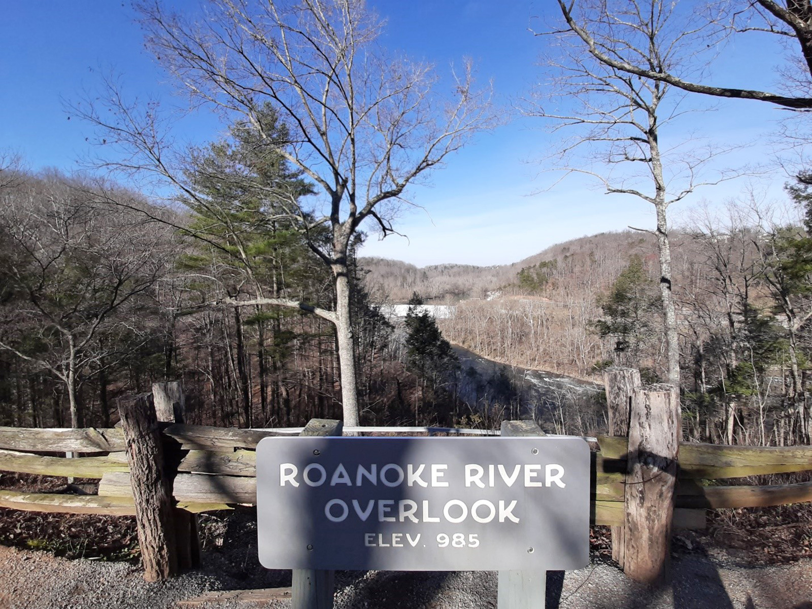
Roanoke River Overlook
Roanoke River Overlook sits at 937 feet on the Blue Ridge Parkway, facing east across land that drops 110 feet within the first 600 meters from the pull-off. Weaver Knob rises to the northeast at 2,602 feet, about 4.4 miles away. Because the overlook faces directly toward the sunrise, it lines up with morning light through the year; sunrise runs from about 6:00 am at the June solstice to 7:31 am at the December solstice, with equinox sunrises near 7:15-7:24 am. Roanoke is 4.0 miles to the west-northwest, Cave Spring is 7.7 miles to the west-southwest, and Blacksburg is 29.8 miles west. On the parkway, this stop falls between Montvale Overlook and Roanoke Mountain Loop Lookout.
What you’re looking at
Named terrain inside the view from this overlook, nearest first.
- Weaver Knob2,602 ftnortheast · 4.4 mi
Light
This overlook faces sunrise — 0° off square to it.
| Date | Sunrise | Sunset | Golden hour |
|---|---|---|---|
| March equinox | 07:24 | 19:32 | 18:57 |
| June solstice | 06:00 | 20:44 | 20:05 |
| September equinox | 07:08 | 19:18 | 18:44 |
| December solstice | 07:31 | 17:06 | 16:25 |
Local time (America/New_York). Computed for this exact position.
Where it is
- Roanoke4.0 mi west-northwest
- Cave Spring7.7 mi west-southwest
- Blacksburg29.8 mi west
Take the scenic way to Roanoke River Overlook.
Byway plans around your taste, verified places, real weather and opening hours — then opens every leg in Google Maps with one tap.
How high is Roanoke River Overlook?
Roanoke River Overlook sits at about 937 feet (285 m).
What can you see from Roanoke River Overlook?
From Roanoke River Overlook: Weaver Knob (NE, 4.4 mi).
Is Roanoke River Overlook better at sunrise or sunset?
Sunrise. The land falls away from Roanoke River Overlook toward the sunrise, so at sunset the light is behind you. Exact times shift through the year; the page shows the current window.
What is the nearest town to Roanoke River Overlook?
Roanoke, 4.0 miles WNW of Roanoke River Overlook.
What is the next lookout after Roanoke River Overlook?
Roanoke Mountain Loop Lookout is the next surfaced lookout along the same route after Roanoke River Overlook.
Drive to Roanoke River Overlook with Byway
Byway plans the scenic way there — real places along Blue Ridge Parkway, real weather, zero hallucinations — and hands the turns to the navigation you already use.
Byways with this lookout
Day trips start here
- Roanoke · 4 mi
Locals make it Verified.
Roanoke River Overlook — confirmed, rated, and photographed by people who actually pulled over. A local confirmation is what upgrades a lookout from Discovered to Verified. Zero hallucinations.
Confirmed by locals
No local confirmations yet. Stood here? Yours is the one that upgrades this lookout to Verified.
Ratings
No ratings yet. Stood at this lookout? Be the first to rate it.
No written reviews yet.
Field notes
No field notes yet. Know the gate hours or the best pull-in? Leave the note you wish you'd had.
Photos
No photos yet.
Sign in to confirm this lookout, rate it, add photos, and leave field notes.