Hot Springs National Park

Official park boundary · National Park Service
Take the scenic way to Hot Springs National Park.
Byway plans around your taste, verified places, real weather and opening hours — then opens every leg in Google Maps with one tap.
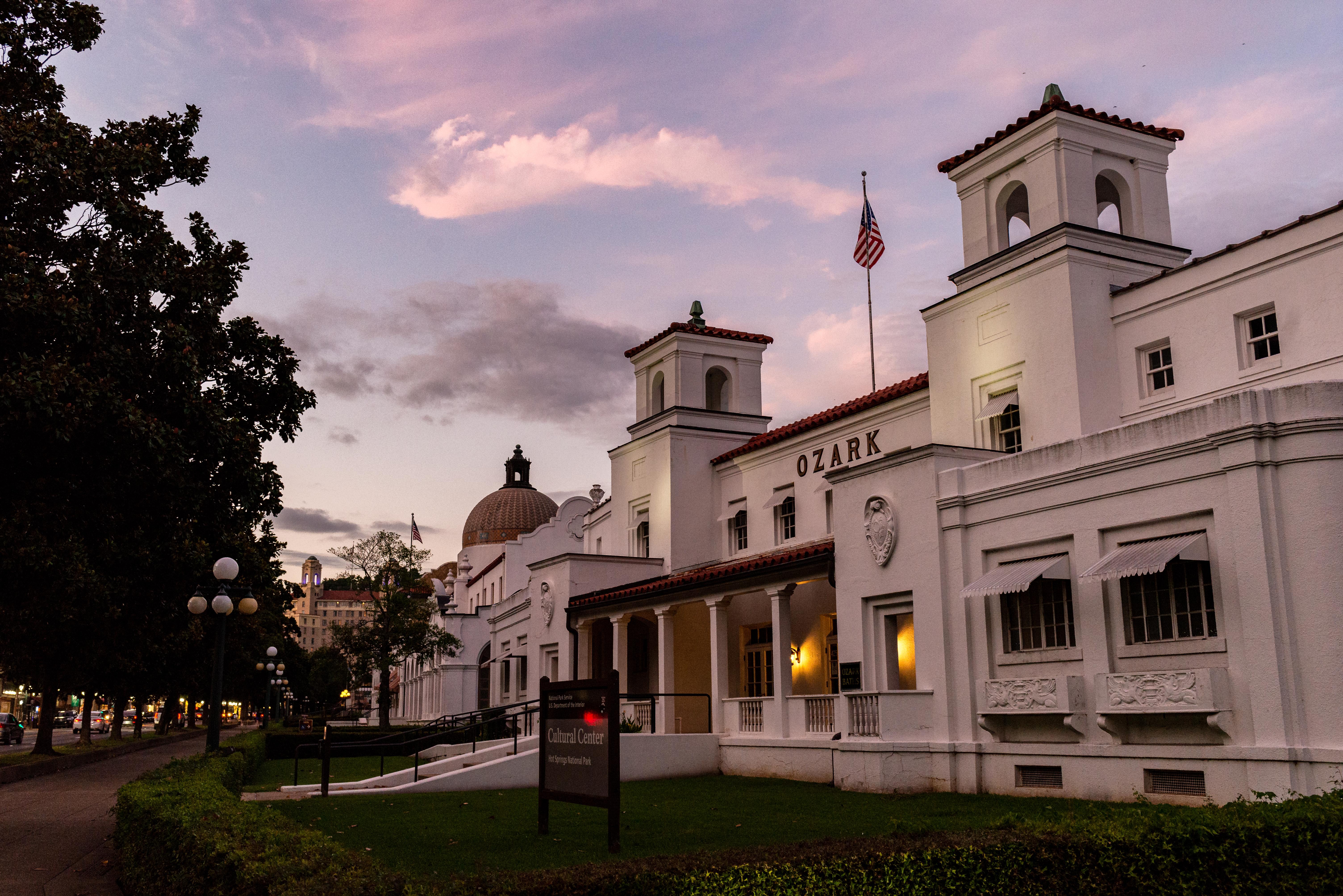
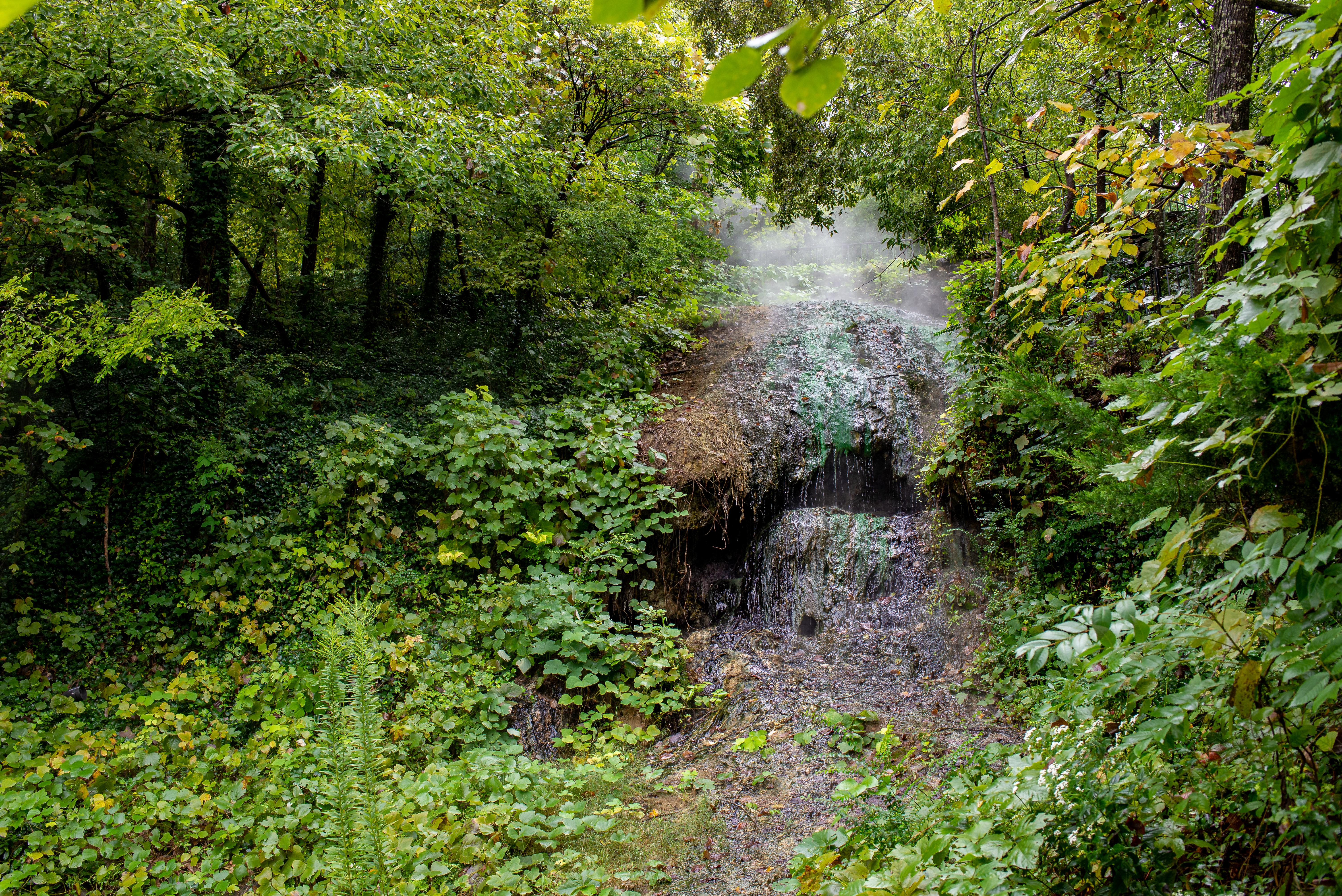
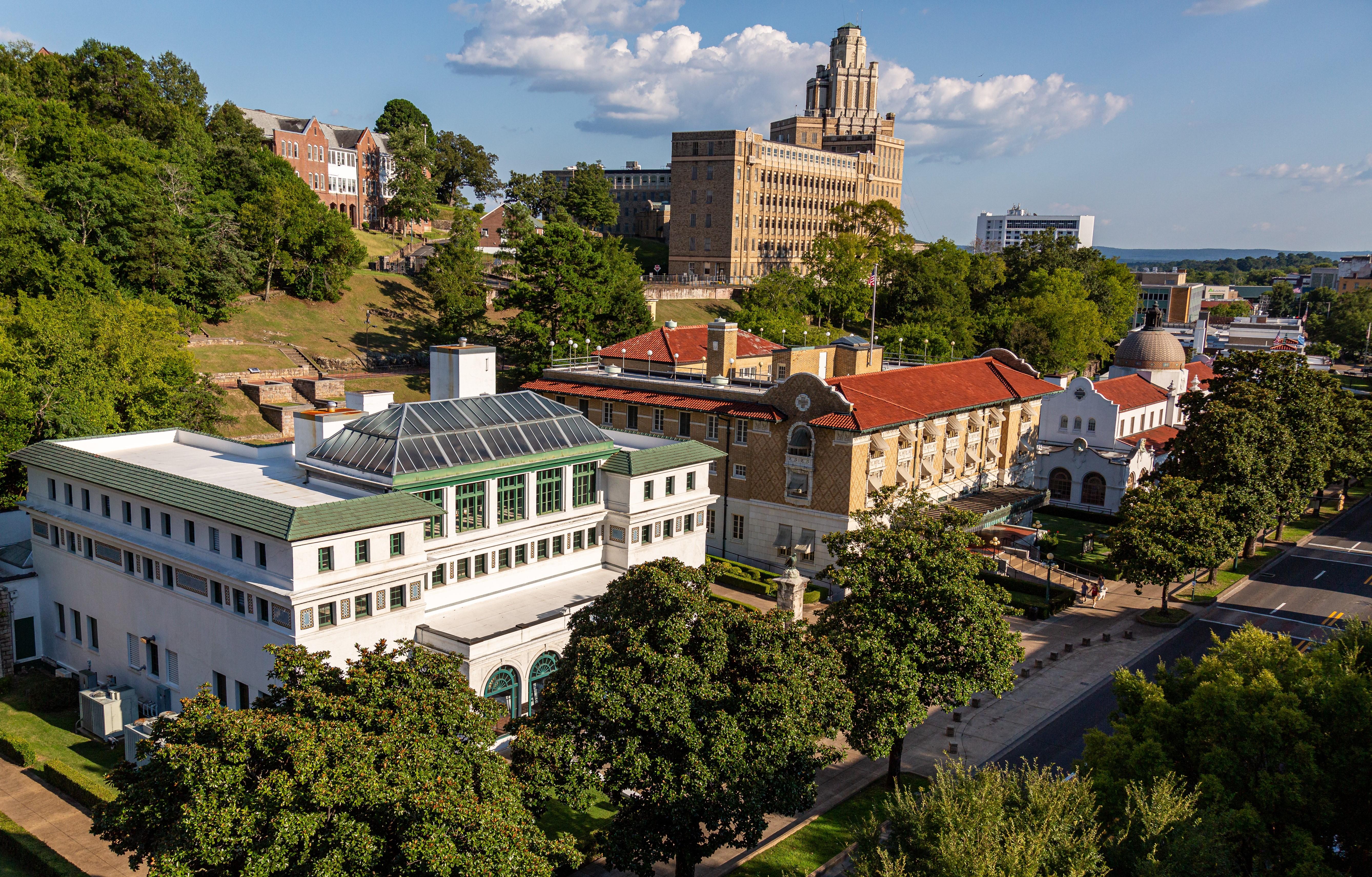
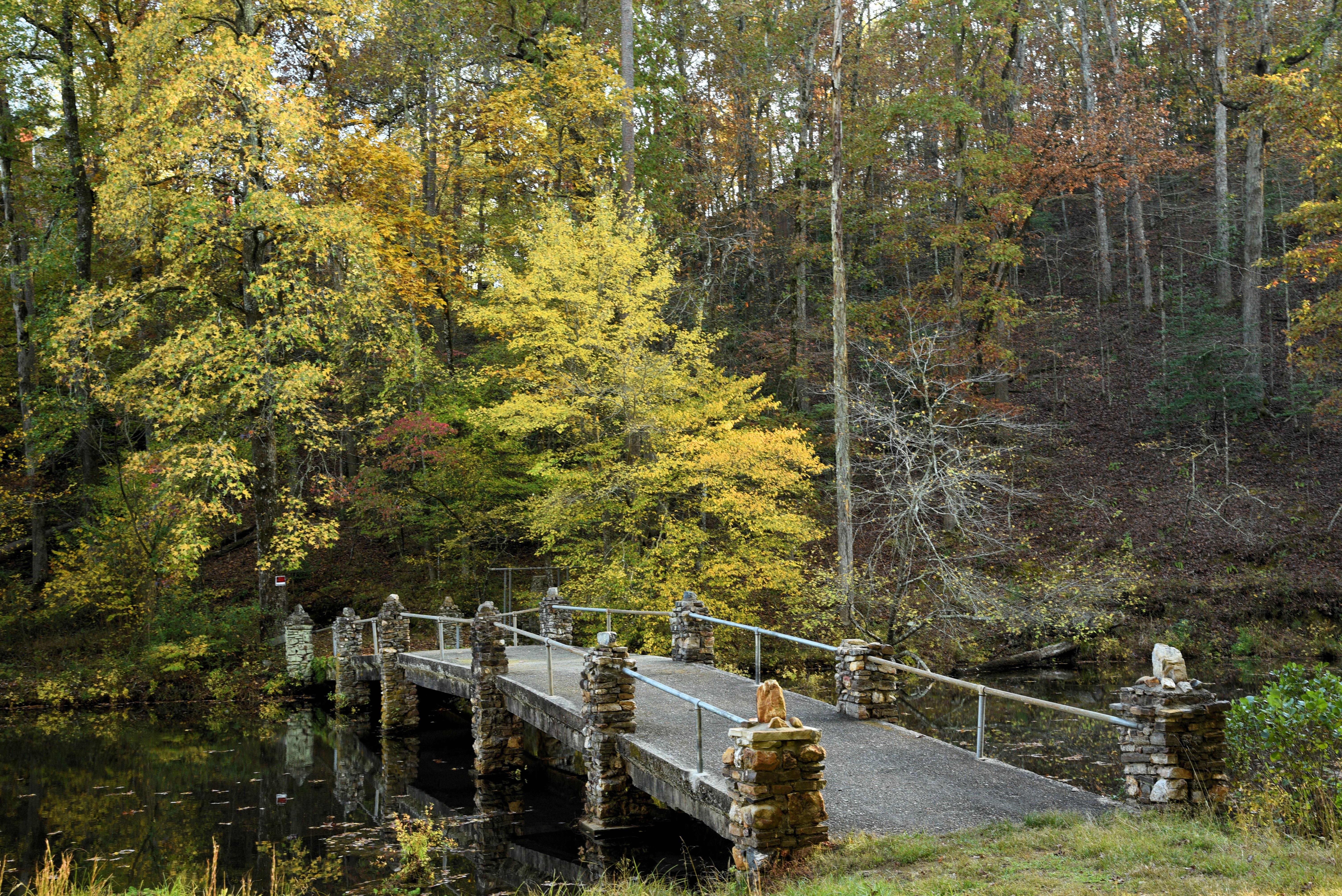
Hot Springs National Park has a rich cultural past. The grand architecture of our historic bathhouses is equally matched by the natural curiosities that have been drawing people here for hundreds of years. Ancient thermal springs, mountain views, incredible geology, forested hikes, and abundant creeks – all in the middle of town – make Hot Springs National Park a unique and beautiful destination.
Hot Springs National Park is a national park of the United States in central Garland County, Arkansas, adjacent to the city of Hot Springs. Hot Springs Reservation was initially created by an act of the United States Congress on April 20, 1832, to be preserved for future recreation. Established before the concept of a national park existed, it was the first time that land had been set aside by the federal government to preserve its use as an area for recreation. Part of the natural area is old-growth forest and recognized by the Old-Growth Forest Network. The hot spring water has been popularly believed for centuries to possess medicinal properties, and was a subject of legend among several Native American tribes. Following federal protection in 1832, the city developed into a successful spa town.
From Little Rock: Take I-30W towards Texarkana. Exit 111 for US 70W/Hot Springs. Turn Right onto Spring St. Turn Right onto Central Ave. Drive North, the Park will be on the right after Reserve St. From Texarkana: Take 1-30E. Exit 78 for AR-7 and turn left under the highway. Follow AR-7 North for 31 miles. AR-7 becomes Central Ave., the Park will be on the right after Reserve Street.
Average temperatures in Hot Springs can range from about 90°F (32°C) to less than 27°F (-2.7°C). Summer days can be hot and humid, with heat index values up to 110ºF (43ºC). Winter wind chills can make temperatures feel much colder, as low as 15ºF (-9.4ºC). Spring and fall typically have the most rainfall. Generally, Hot Springs experiences mild weather throughout the year.
Source: National Park Service
Park facts, fees, and activities confirmed against the National Park Service registry.
National Park Service registryChecked 2026-08-04
- Become a Hot Springs Junior Ranger
Kids visiting Hot Springs National Park may earn a Junior Ranger badge by completing a number of activities as they explore the park. The Junior Ranger booklet is available at the Fordyce Bathhouse Visitor Center.
- Camp at the Gulpha Gorge Campground
BASIC INFORMATION Camping at Gulpha Gorge Campground costs $34 per night for all sites. All sites have full hookups: 30 and 50 amp electric, water and sewer connections. Sites are not pull-through. Each campsite has a picnic table, pedestal grill, and water.
- Oak Trail
The northeastern end of Oak Trail is mostly flat. The trail is fairly steep for a short distance between West Mountain Trail and West Mountain Drive.
- An Overview: Hot Springs and North Mountain Trails
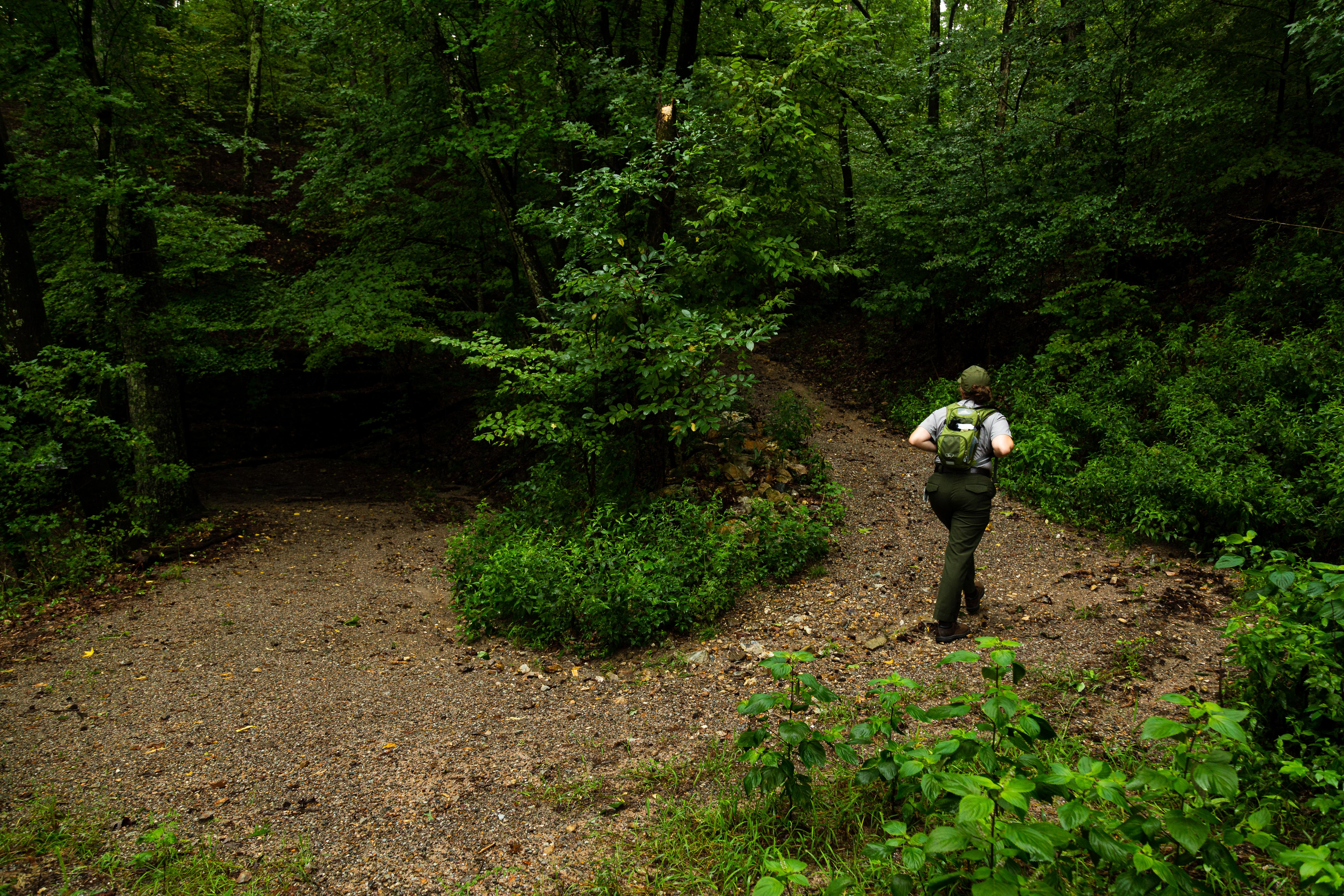
The Hot Springs and North Mountain trails are popular since they are easy to reach and provide scenic views. You can get to these trails via Stephen’s Balustrade (grand staircase) behind the Fordyce Bathhouse, Hot Springs Mountain Drive, and the Gulpha Gorge Campground.
- Honeysuckle Trail
Honeysuckle Trail connects Peak Trail with Hot Springs Mountain Trail.
- Short Cut Trail
Short Cut Trail connects Oertel Trail with Hot Springs Mountain Trail near the picnic area atop Hot Springs Mountain.
- West Mountain Trail
Both sections of West Mountain Trail have gradual change in elevation. Note: West Mountain Trail can be made into a loop by using Mountain Top Trail (elevation change: 400 feet in this section).
- Whittington Trail
The flat, gravel trail is popular with joggers and walkers. Whittington Trail loops around Whittington Park.
Source: National Park Service

Where is Hot Springs National Park?
Hot Springs National Park is in Arkansas.
When was Hot Springs National Park established?
Hot Springs National Park was established in 1921.
How big is Hot Springs National Park?
Hot Springs National Park covers 9 square miles (5,554 acres).
Can you camp in Hot Springs National Park?
Yes. The National Park Service runs 1 campground in Hot Springs National Park, with 40 campsites between them.
Does Hot Springs National Park have a visitor center?
Yes. Hot Springs National Park has 1 visitor center: Fordyce Bathhouse Visitor Center and Museum.
Drive Hot Springs with Byway
Byway plans the scenic day around Hot Springs — real places, real weather, every stop verified. Zero hallucinations. Google Maps for turns. Byway for soul.