Redwood National and State Parks

Official park boundary · National Park Service
Take the scenic way to Redwood National and State Parks.
Byway plans around your taste, verified places, real weather and opening hours — then opens every leg in Google Maps with one tap.
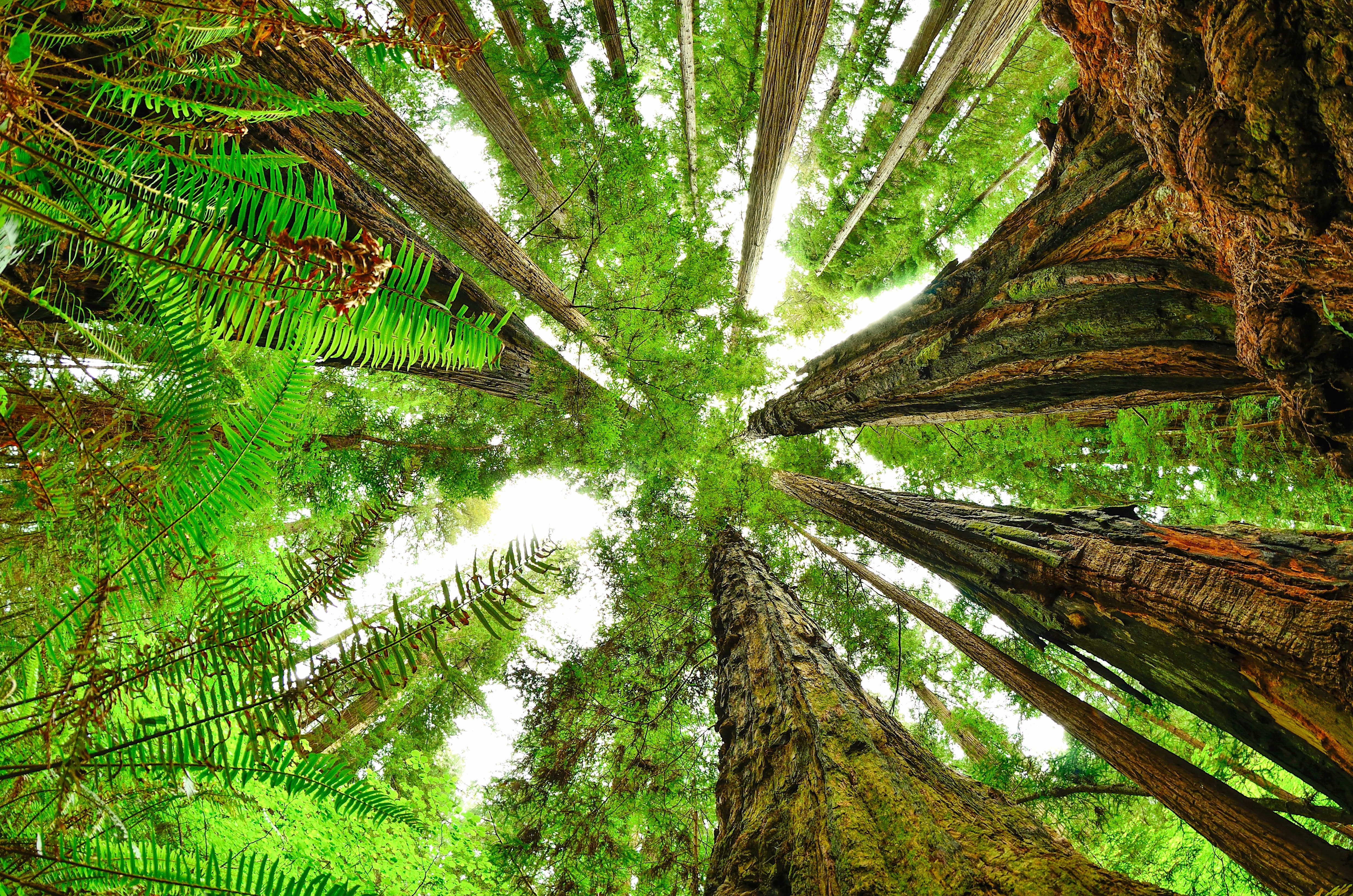
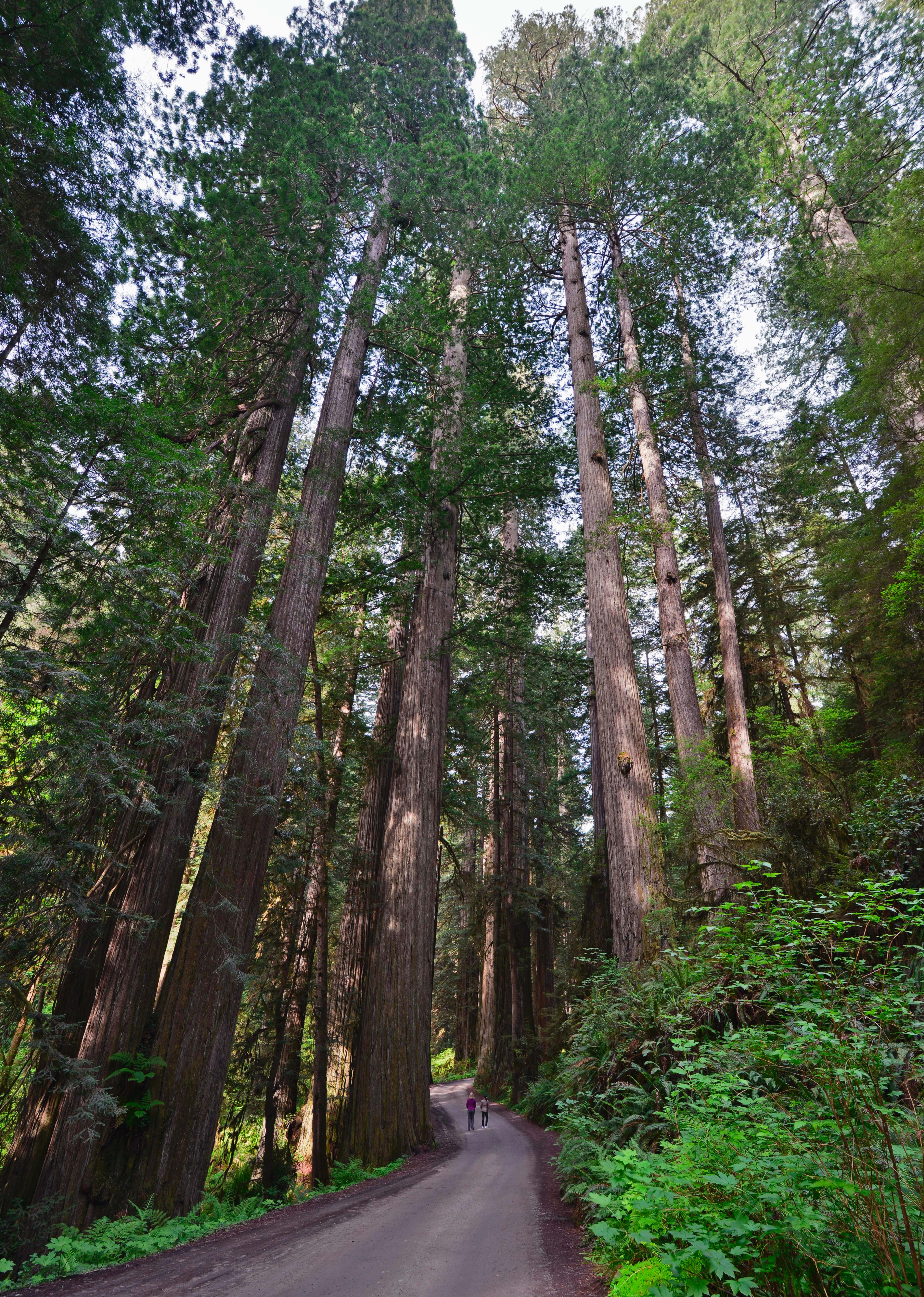
Renowned for the world’s tallest trees, Redwood’s landscapes span from open prairies and oak woodlands to pristine rivers and untamed coastline. This ancient home has supported people for thousands of years. The National Park Service and California State Parks now work to safeguard and rejuvenate these lands for everyone’s enjoyment, learning, and inspiration.
The Redwood National and State Parks (RNSP) are a complex of one United States national park and three California state parks located along the coast of northern California. The combined RNSP contain Redwood National Park, Del Norte Coast Redwoods State Park, Jedediah Smith Redwoods State Park, and Prairie Creek Redwoods State Park. The parks' 139,000 acres preserve 45 percent of all remaining old-growth coast redwood forests.
Redwood National and State Parks is located in northernmost coastal California - almost on the Oregon border. The parks are about 60-miles long, with four visitor centers from north to south. We are a six to seven-hour drive (325 miles) north of San Francisco, a six-hour drive (330 miles) south of Portland, OR and a four-hour drive (170 miles) west of Redding, CA.
Visitors should be prepared for cooler and damp weather. Dress in layers and expect to get wet. Year-round temperatures along California's redwood coast: mid-40s°F (7°C) to mid-60s°F (18°C). Summer can be foggy, with highs occasionally reaching low 70s°F (20°C). Winters are cooler with considerable rain. October through April averages 60-80 inches of rain over the region.
Source: National Park Service
Park facts, fees, and activities confirmed against the National Park Service registry.
National Park Service registryChecked 2026-08-04
- Bike the Davison/Streelow Creek Loop
Start at a meadow where elk gather before biking through dense, Douglas-fir forests that have grown back since the old-growth redwoods were logged here in the 1960s.
- Walk the Fern Canyon Loop Trail
A unique, beautiful, and popular location in the park. Getting here does require some planning, reservations are required May 15th through September 15th (available online), there are two (2) stream crossings that you have to drive through, and your feet will get wet. Definitely an adventure!
- Walk the Stout Memorial Grove Trail
A majestic grove of redwoods next to the Smith River in the northern part of the park. This trail requires some planning about how you will access it. Hours can be spent on a summer's day relaxing on the banks of the Smith River.
- Stroll the Simpson-Reed Trail
An easy walk through beautiful old-growth redwood forests in the northern part of the parks. Limited parking, RV's and trailers not permitted.
- Hike the Boy Scout Tree Trail
A moderate hike with some steep grades and switchbacks.
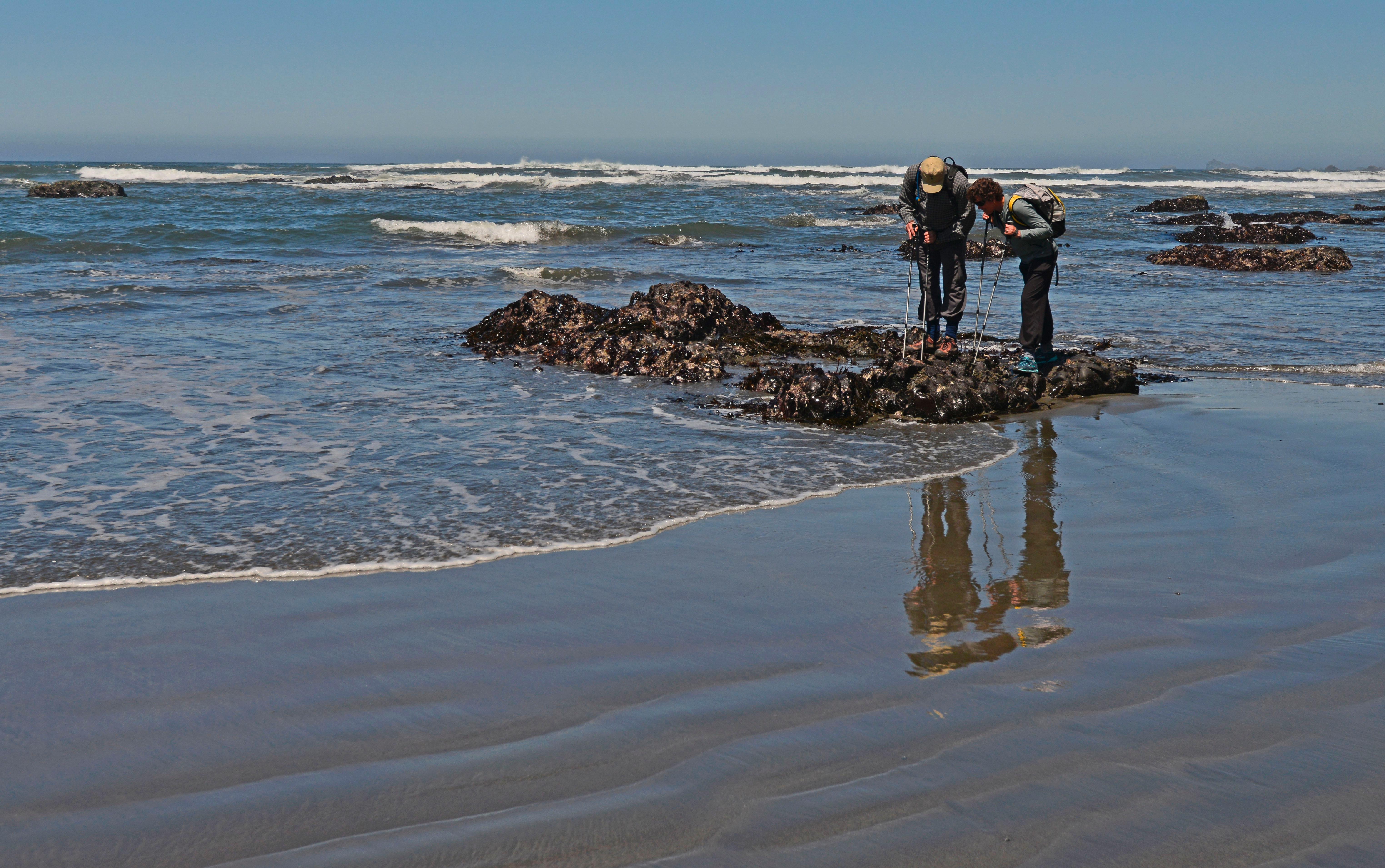
- Go Tide Pooling at Enderts Beach
Tidepooling at Enderts Beach will bring you experience some incredible coastlines and give you a glimpse into life at the edge of the ocean. For some, its like seeing science fiction come to life. Check the tides, and take a few hours to make the hike to the tide pools and back.
- Walk the Karl Knapp (Prairie Creek) to Foothill Trail Loop
Located in the southern third of the parks, this family-friendly loop trail takes you under some of the tallest trees in the world and follows along a beautiful creek. There is parking, restrooms, and picnic tables located near Prairie Creek Visitor Center.
- Hike Zig Zag Loop
Walk along flowing Prairie Creek before ascending to ridgetop views in Prairie Creek State Park.
Source: National Park Service
Where is Redwood National and State Parks?
Redwood National and State Parks is in California.
When was Redwood National and State Parks established?
Redwood National and State Parks was established in 1968.
How big is Redwood National and State Parks?
Redwood National and State Parks covers 217 square miles (138,999 acres).
Can you camp in Redwood National and State Parks?
Yes. The National Park Service runs 4 campgrounds in Redwood National and State Parks, with 332 campsites between them.
Does Redwood National and State Parks have a visitor center?
Yes. Redwood National and State Parks has 5 visitor centers: Crescent City Information Center, Hiouchi Visitor Center, Jedediah Smith Visitor Center, Prairie Creek Visitor Center, Thomas H. Kuchel Visitor Center.
Day trips start here
- Klamath · 1 mi
- Redwood National Park · 7 mi
- Del Norte County · 15 mi
- Crescent City · 17 mi
Drive Redwood with Byway
Byway plans the scenic day around Redwood — real places, real weather, every stop verified. Zero hallucinations. Google Maps for turns. Byway for soul.