Shenandoah National Park

Official park boundary · National Park Service
Take the scenic way to Shenandoah National Park.
Byway plans around your taste, verified places, real weather and opening hours — then opens every leg in Google Maps with one tap.
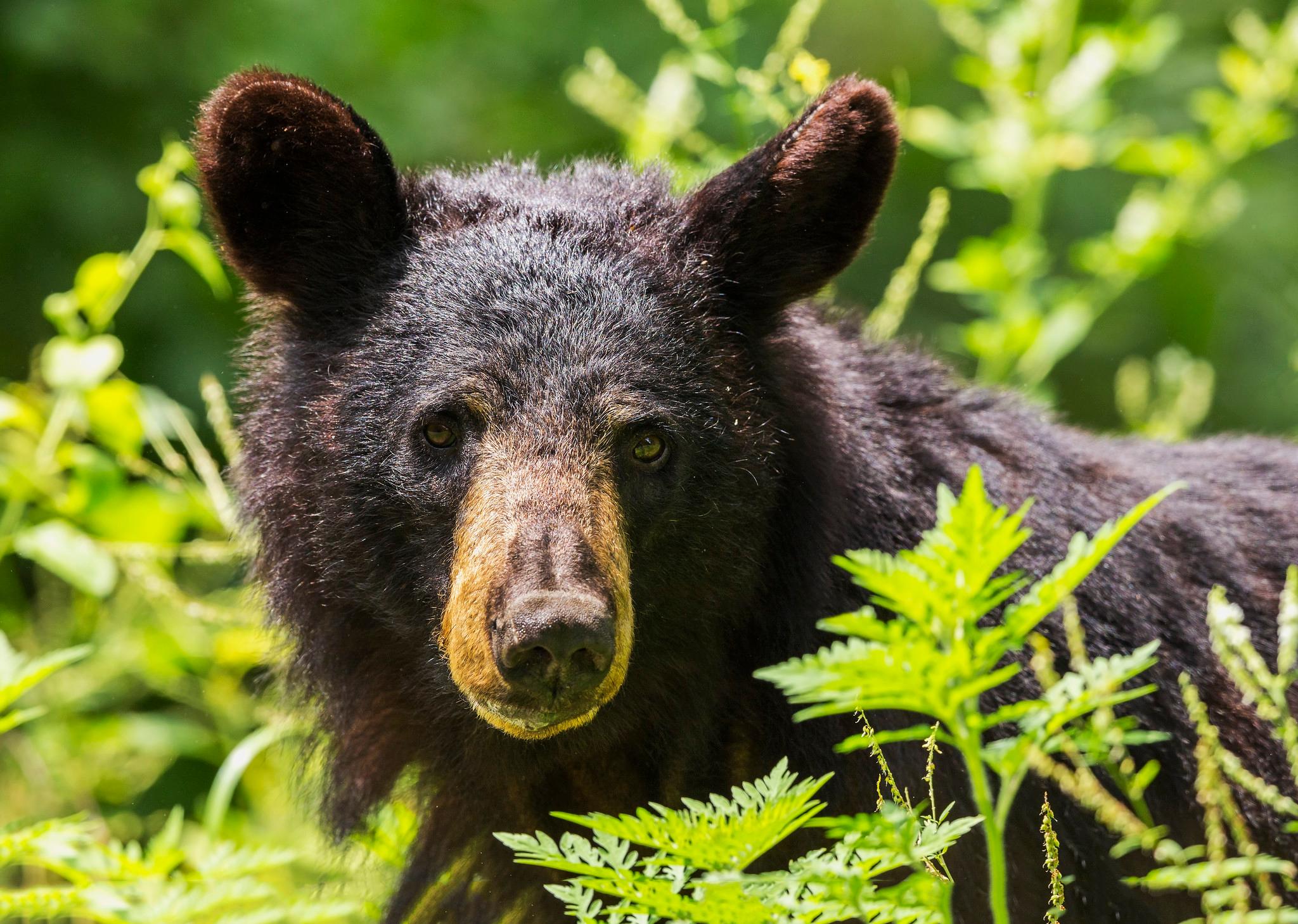
Just 75 miles from the bustle of Washington, D.C., Shenandoah National Park is a land bursting with cascading waterfalls, spectacular vistas, fields of wildflowers, and quiet wooded hollows. With over 200,000 acres of protected lands that are haven to deer, songbirds, and black bear, there's so much to explore...and your journey begins right here!
Shenandoah National Park is a national park of the United States that encompasses part of the Blue Ridge Mountains in Virginia. The park is long and narrow, with the Shenandoah River and its broad valley to the west, and the rolling hills of the Virginia Piedmont to the east. Skyline Drive is the main park road, generally traversing along the ridgeline of the mountains. Almost 40% of the park's land—79,579 acres —has been designated as wilderness areas and is protected as part of the National Wilderness Preservation System. The highest peak is Hawksbill Mountain at 4,051 feet (1,235 m).
Shenandoah National Park is located in the Blue Ridge Mountains of Virginia, west of Washington, D.C. It stretches 105 miles and has four entrances: Front Royal (northern entrance), Thornton Gap, Swift Run Gap, and Rockfish Gap (southern entrance to Shenandoah and the northern entrance to the Blue Ridge Parkway). The physical address listed is to the administrative offices, not the Park itself. GPS can be unreliable for navigating to the Park, so we encourage you to check out our website for more info.
Shenandoah National Park has four very distinct seasons. Spring typically brings mild temperatures, rain, and wildflowers. Summer brings lush green forests, but can be hot and very humid. Fall follows with cooler temperatures and spectacular fall foliage. Winter can bring snow and ice. The park spans roughly 100 miles, which means that weather can vary greatly depending on your location. The mountain is usually 10°F cooler than the valley below. Always check the forecast, dress in layers, and be prepared.
Source: National Park Service
Unlimited entry for one vehicle and all passengers for seven consecutive days, beginning on the day of purchase. Admits the pass holder and occupants of a single, private non-commercial vehicle.
Valid for 7 days. Admits up to 2 private, non-commercial motorcycles with up to 4 total passengers.
Entry for walk-up or bicycling visitors, when 16 years of age or older (children under 16 are admitted for free). Includes entering the Park by all means other than a private, non-commercial vehicle.
The total cost is calculated: $25 + $10 per passenger.
Park facts, fees, and activities confirmed against the National Park Service registry.
National Park Service registryChecked 2026-08-04
- Old Rag Circuit
PARK BOUNDARY | Visitors must obtain an Old Rag day-use ticket in advance of this hike. Pets are not allowed. Old Rag is a popular, very strenuous hike with sweeping views and several scrambles across large rocks. This route starts from the Old Rag parking area on the boundary of the Park.
- Stony Man
MILE 41.7 | Pets are not allowed on this hike. This enjoyable hike brings you to an outstanding view of the Shenandoah Valley, Massanutten Mountain, and beyond.
- Whiteoak Falls (Lower)
PARK BOUNDARY | An easier hike to the base of the lower falls in Whiteoak Canyon. Note that a Park entrance fee is still required.
- Turk Mountain
MILE 94.1 | A hike to the 2,981’ summit of Turk Mountain, located in the Shenandoah Wilderness, that provides a wonderful view to the west.
- Riprap - Wildcat Ridge
MILE 90 or 92.1 | This loop can be hiked from Riprap Parking or Wildcat Ridge Parking. It takes you through the forests of the Shenandoah Wilderness and over several stream crossings, while offering beautiful views of the hollows and valley to the west and north.
- Nicholson Hollow
PARK BOUNDARY | An alternate option for visitors with pets who still wish to hike from the Old Rag parking area. This hike takes you through the Shenandoah Wilderness to Corbin Cabin, an old homesite built by a former resident, and features several stream crossings along the way.
- Knob Mountain - Jeremys Run
Elkwallow Wayside (mile 24) | This hike goes around a beautiful area of the Park featuring one of the most picturesque streams in Shenandoah. The majority of this hike is in the Shenandoah Wilderness.
- Hazel River Falls
Meadow Spring Parking Area (mile 33.5) | A trail that leads you into the Shenandoah Wilderness to an exceptional waterfall.
Source: National Park Service
Where is Shenandoah National Park?
Shenandoah National Park is in Virginia.
When was Shenandoah National Park established?
Shenandoah National Park was established in 1935.
How big is Shenandoah National Park?
Shenandoah National Park covers 313 square miles (200,446 acres).
How much does it cost to enter Shenandoah National Park?
Shenandoah National Park charges $30 per private vehicle. Other rates apply to motorcycles, cyclists and walk-ins, and some parks add their own reservation or surcharge on top.
Can you camp in Shenandoah National Park?
Yes. The National Park Service runs 4 campgrounds in Shenandoah National Park, with 623 campsites between them.
Does Shenandoah National Park have a visitor center?
Yes. Shenandoah National Park has 2 visitor centers: Dickey Ridge Visitor Center, Harry F. Byrd Sr. Visitor Center.
Day trips start here
- Shenandoah National Park · 6 mi
Drive Shenandoah with Byway
Byway plans the scenic day around Shenandoah — real places, real weather, every stop verified. Zero hallucinations. Google Maps for turns. Byway for soul.