Acadia National Park

Official park boundary · National Park Service
Take the scenic way to Acadia National Park.
Byway plans around your taste, verified places, real weather and opening hours — then opens every leg in Google Maps with one tap.
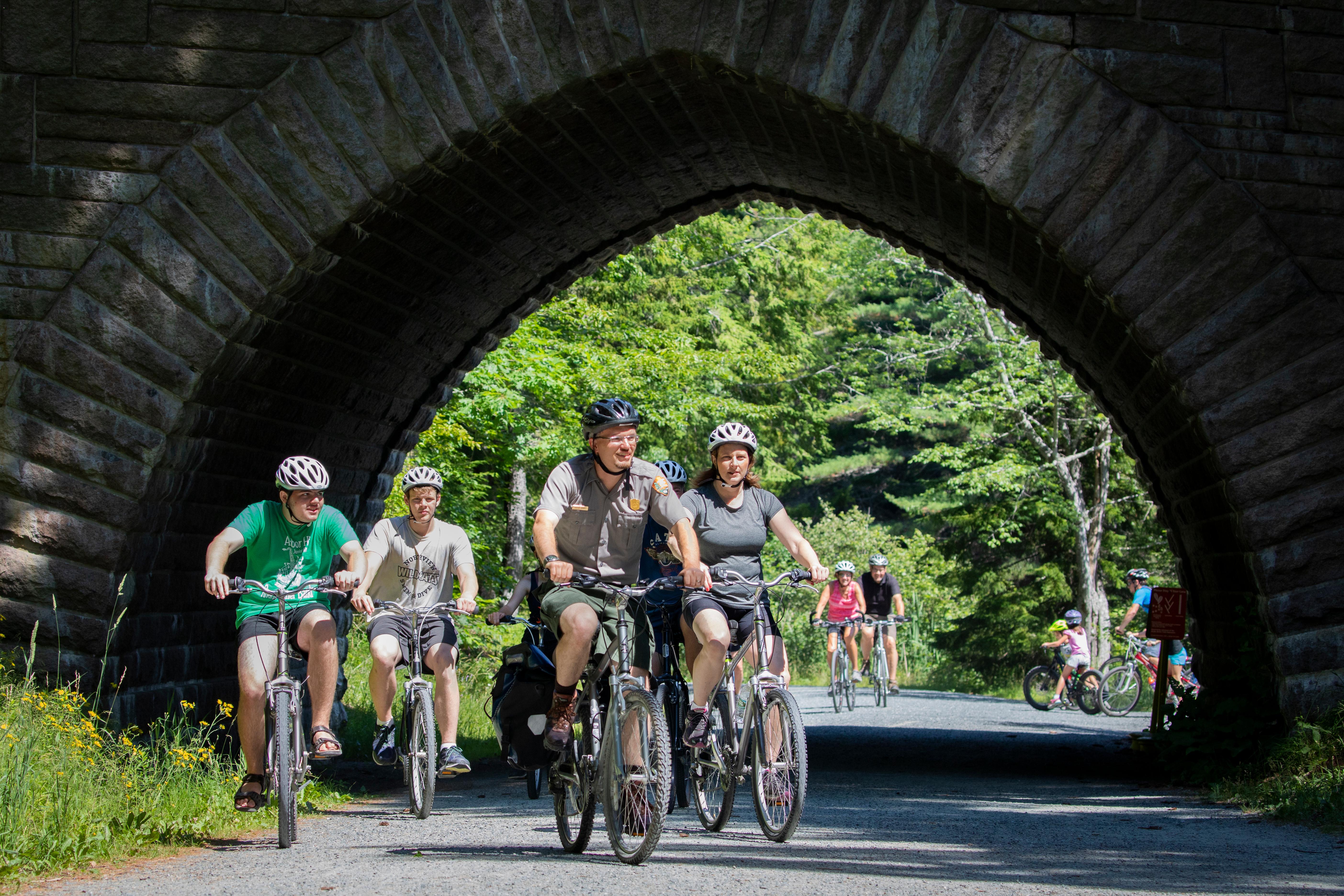
Acadia National Park protects the natural beauty of the highest rocky headlands along the Atlantic coastline of the United States, an abundance of habitats, and a rich cultural heritage. At 4 million visits a year, it's one of the top 10 most-visited national parks in the United States. Visitors enjoy 27 miles of historic motor roads, 158 miles of hiking trails, and 45 miles of carriage roads.
Acadia National Park is a national park of the United States located along the mid-section of the Maine coast, southwest of Bar Harbor. The park includes about half of Mount Desert Island, part of Isle au Haut, the tip of the Schoodic Peninsula, and portions of sixteen smaller outlying islands.
From Boston take I-95 north to Augusta, Maine, then Route 3 east to Ellsworth, and on to Mount Desert Island. For an alternate route, continue on I-95 north to Bangor, Maine, then take I-395 to U.S. Route 1A east to Ellsworth. In Ellsworth, take Route 3 to Mount Desert Island.
Located on Mount Desert Island in Maine, Acadia experiences all four seasons. Summer temperatures range from 45-90F (7-30C). Fall temperatures range from 30-70F (-1-21C). Typically the first frost is in mid-October and first snowfall begins in November and can continue through April with an average accumulation of 73 inches (185 cm). Winter temperatures range from 14-35F (-10 - 2C). Spring temperatures range from 30-70F (-1-21C).
Source: National Park Service
Vehicle reservations are not required for any other areas of the park, or for visitors who enter the area by foot, bike, or taxi.
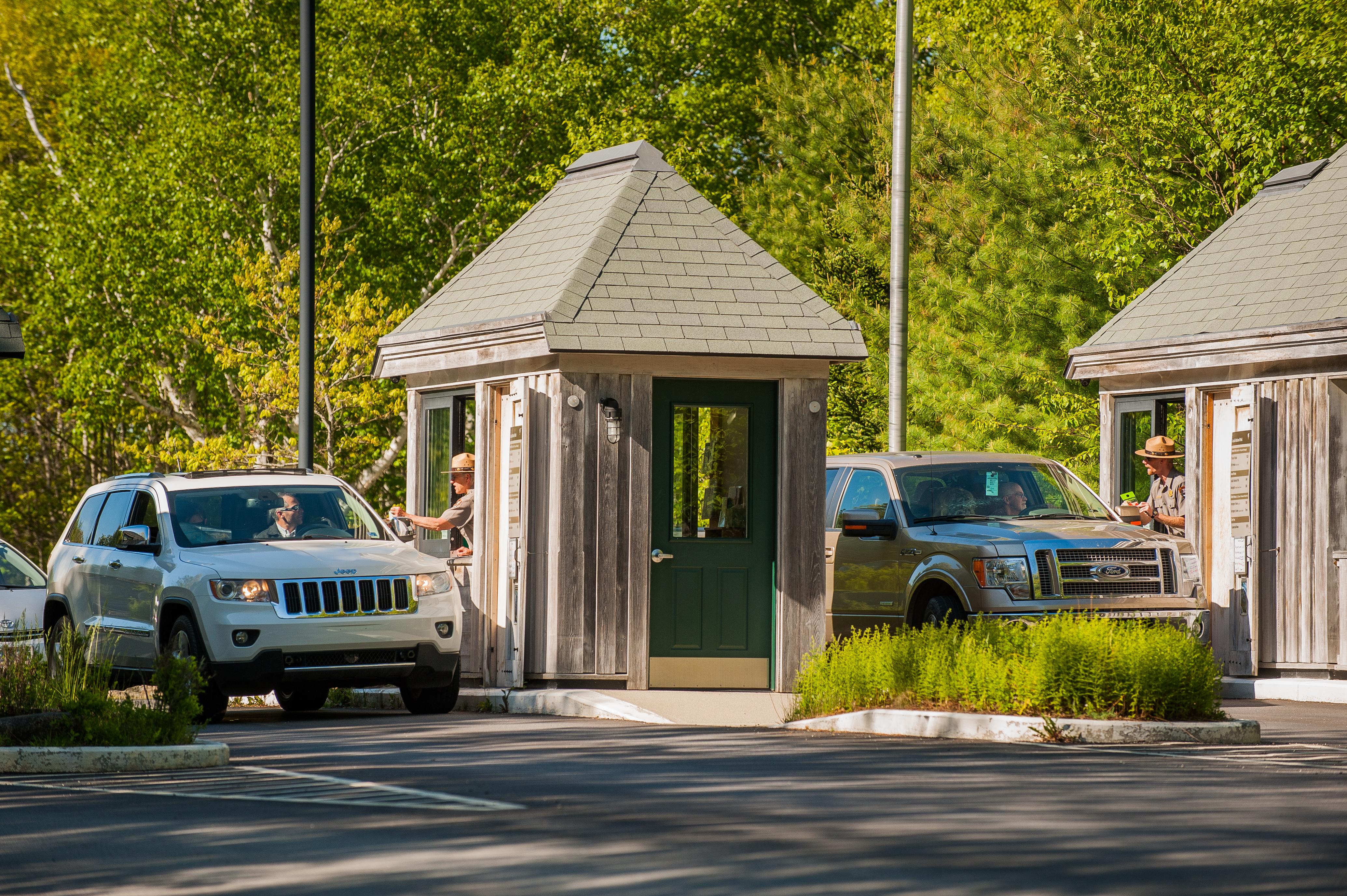
Valid for seven days. Admits private, non-commercial vehicle (15 passenger capacity or less) and all occupants. This includes rental cars, RVs, and vans with fewer than 16 passengers.
Valid for 7 days. Admits up to 2 private, non-commercial motorcycles with up to 4 total passengers.
Valid for seven days. Admits one individual with no car (bicyclist, hiker, pedestrian). Youth 15 and under are admitted free of charge.
Park facts, fees, and activities confirmed against the National Park Service registry.
National Park Service registryChecked 2026-08-04
- Hike Wonderland Trail
This 1.4 out and back trail on an old gravel fire road is family-friendly and provides direct access to the coastline with birding opportunities.
- Hike Great Head Trail
This 1.7 mile trail has spectacular ocean views along a coastal headland with some wooded sections. This historic trail also includes the ruins of an early 1900's tea house.
- Hike Jesup Path and Hemlock Path Loop
This forested path continues to a boardwalk with multiple interpretive signs and benches. It opens up to a meadow before looping back on an old fire road. Views of Dorr Mountain are interspersed in this walk along a birch and hemlock forest.
- Hike Schoodic Peninsula Trails
This 7.5 mile network of hiking trails leads across the peninsula, from Winter Harbor in the north through spruce-fir forests, pine woodlands, and a shrubland, terminating on the southern end at Blueberry Hill.
- Hike Western Mountain Loop
This 3.8 mile loop travels through forested areas and up the summits of Bernard Mountain and Mansell Mountain, together creating Western Mountain. Although there are not many views, it is a challenging hike with hundreds of cut stone steps and other steep sections along the way.
- Hike St. Sauveur and Acadia Mountain Loop
This 3.9 mile challenging loop summits two mountain peaks and offers stunning views of Somes Sound, the surrounding mountains, outlying islands,and the ocean.
- Hike Ship Harbor Trail
Ship Harbor Trail is a 1.3 mile figure-8 loop near Seawall. Great for families and birders, and a variety of habitats can be seen along the shore.
- Hike Schiff Path
Schiff Path is a popular, relatively steep trail and acts as a connector between Sieur de Monts and the summit of Dorr Mountain. It is one of the memorial trails built between 1924 and 1930.
Source: National Park Service

Where is Acadia National Park?
Acadia National Park is in Maine.
When was Acadia National Park established?
Acadia National Park was established in 1919.
How big is Acadia National Park?
Acadia National Park covers 77 square miles (49,071 acres).
How much does it cost to enter Acadia National Park?
Acadia National Park charges $35 per private vehicle. Other rates apply to motorcycles, cyclists and walk-ins, and some parks add their own reservation or surcharge on top.
Can you camp in Acadia National Park?
Yes. The National Park Service runs 4 campgrounds in Acadia National Park, with 577 campsites between them.
Does Acadia National Park have a visitor center?
Yes. Acadia National Park has 6 visitor centers: Acadia Gateway Center, Hulls Cove Visitor Center, Islesford Historical Museum, Schoodic Institute Welcome Center at Rockefeller Hall, Sieur de Monts Nature Center, Winter Information: Bar Harbor Chamber of Commerce.
Day trips start here
- Acadia National Park · 10 mi
- Surry · 18 mi
- Ellsworth · 20 mi
- Orland · 30 mi
Drive Acadia with Byway
Byway plans the scenic day around Acadia — real places, real weather, every stop verified. Zero hallucinations. Google Maps for turns. Byway for soul.