Great Smoky Mountains National Park

Official park boundary · National Park Service
Take the scenic way to Great Smoky Mountains National Park.
Byway plans around your taste, verified places, real weather and opening hours — then opens every leg in Google Maps with one tap.
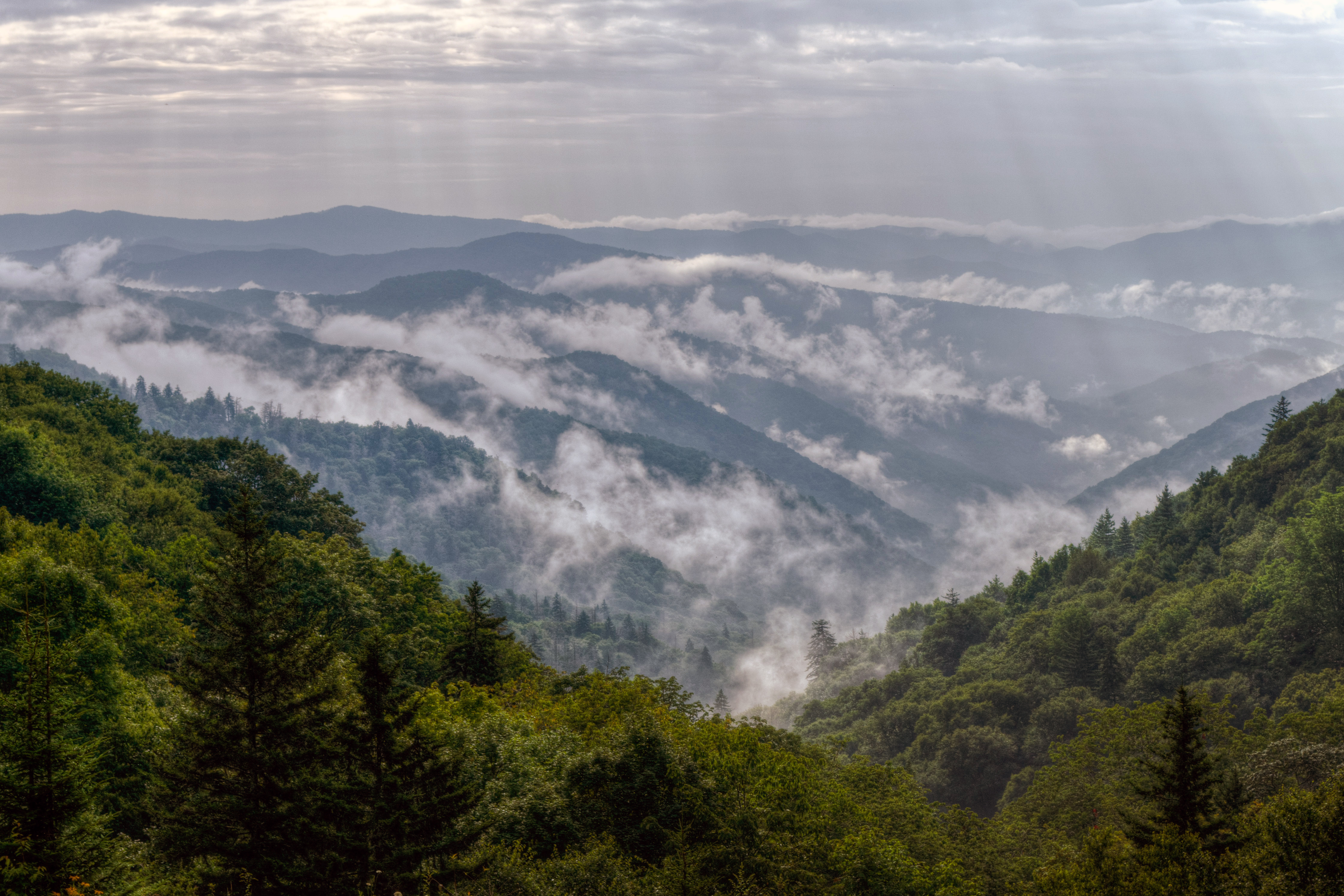
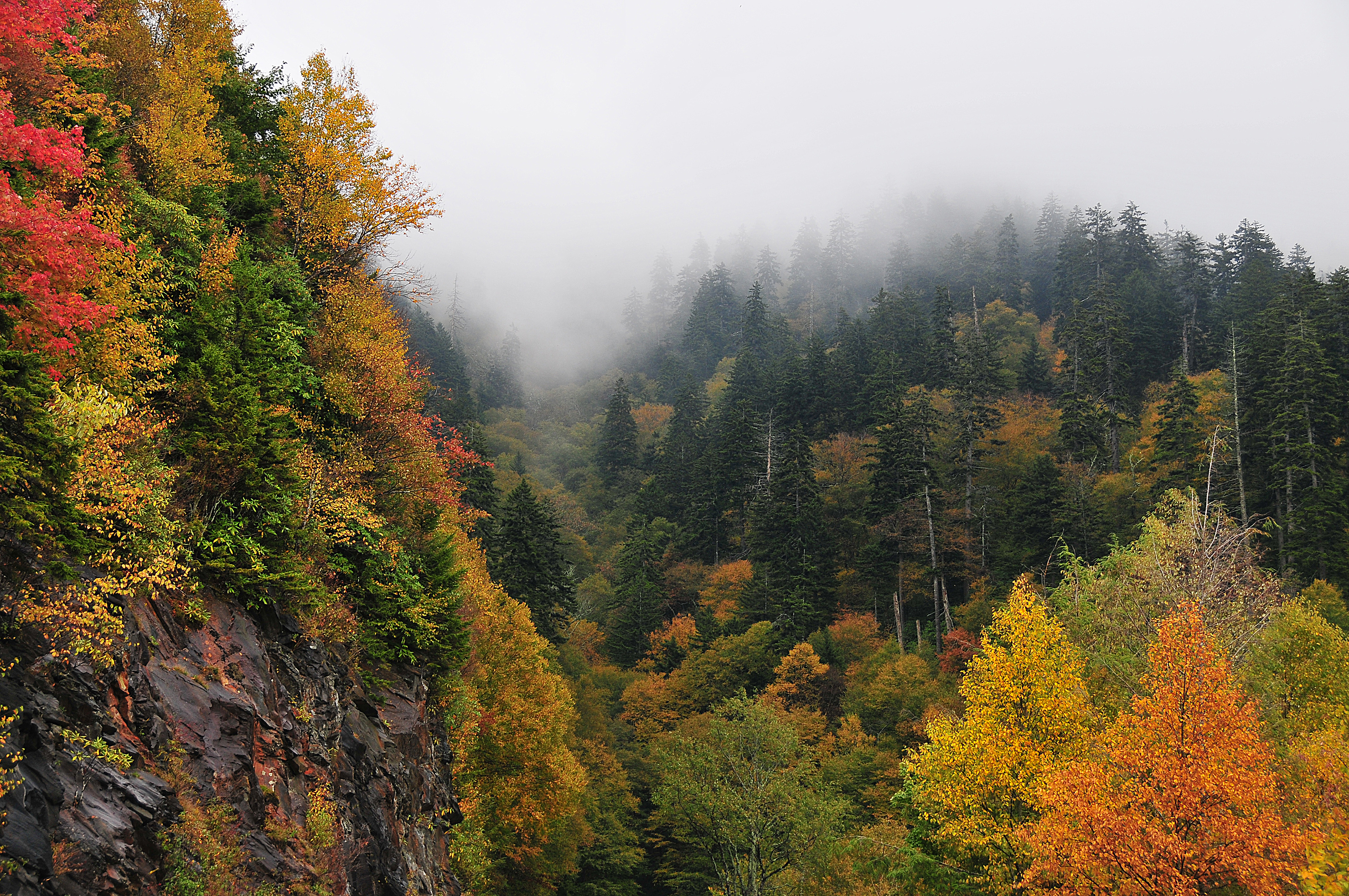
Ridge upon ridge of forest straddles the border between North Carolina and Tennessee in Great Smoky Mountains National Park. World renowned for its diversity of plant and animal life, the beauty of its ancient mountains, and the quality of its remnants of Southern Appalachian mountain culture, this is America's most visited national park. Plan your visit today!
Great Smoky Mountains National Park is a national park of the United States in the southeast, with parts in North Carolina and Tennessee. The park straddles the ridgeline of the Great Smoky Mountains, part of the Blue Ridge Mountains and part of the Appalachian temperate rainforest, which are a division of the larger Appalachian Mountain chain. The park contains some of the highest mountains in eastern North America, including Kuwohi, Mount Guyot, and Mount Le Conte. The border between the two states runs northeast to southwest through the center of the park. The Appalachian Trail passes through the center of the park on its route from Georgia to Maine. With over 11 million visitors in 2025, the Great Smoky Mountains National Park is the most visited national park in the United States.
Great Smoky Mountains National Park straddles the borders of the states of Tennessee and North Carolina. The three main entrances to the park are in Gatlinburg, TN; Townsend, TN; and Cherokee, NC.
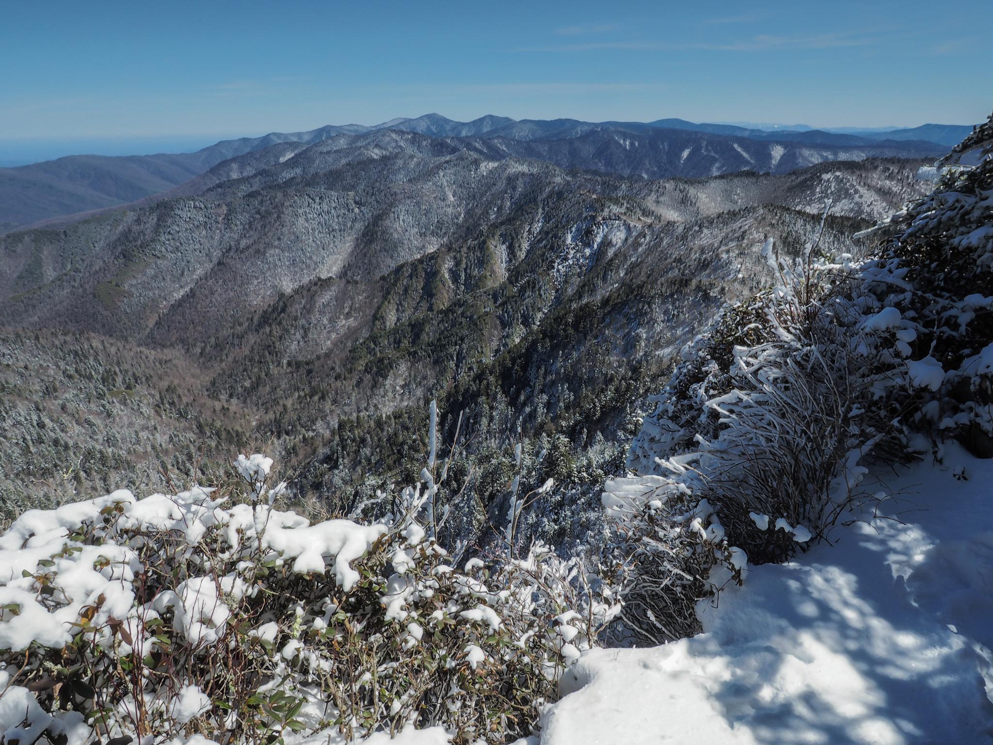
Elevations in the park range from approximately 875 feet (267 meters) to 6,643 feet (2,025 meters) and the topography can drastically affect local weather. Temperatures can vary by 10-20 degrees Fahrenheit from mountain base to top, and clear skies lower down do not guarantee equally pleasant weather at higher elevations.
Source: National Park Service
Park facts, fees, and activities confirmed against the National Park Service registry.
National Park Service registryChecked 2026-08-04
- Hike to Laurel Falls
Hike 2.6 miles (4.2 km) roundtrip through a mixed hardwood forest to an 80-foot (24-m) waterfall. Enjoy a few views of the mountain landscape before arriving at the waterfall. PLEASE NOTE: Laurel Falls Trail is expected to close starting in mid-December for 18 months.
- Hike Bradley Fork Trail
The Bradley Fork Trail offers a scenic and diverse outdoor experience, featuring picturesque creeks, seasonal wildflowers, fishing access, horseback riding opportunities, and backcountry camping.
- Hike Little River Trail
Once a railroad bed, the Little River Trail now offers a peaceful hike through the Elkmont area of Great Smoky Mountains National Park. As you follow the river’s gentle flow, you’ll pass remnants of the old Elkmont community—stone chimneys and foundations quietly tucked into the forest.
- Hike the Gatlinburg Trail
Enjoy a riverside stroll approximately 4 miles (6.4 km) roundtrip through a cove hardwood forest along one of the only dog- and bike-friendly trails in the park. This trail includes sections of sidewalks and roadsides as well as graded dirt path.
- Drive Foothills Parkway (Chilhowee to Walland)
Drive 16.6 miles (26.7 km) one-way on Foothills Parkway from Chilhowee to Walland.
- Drive Foothills Parkway (Walland to Wears Valley)
Drive 14.75 miles (23.74 km) one-way on Foothills Parkway from Walland to Wears Valley.
- Drive Foothills Parkway (Cosby to I-40)
Drive 5.6 miles (9.01 km) one-way on Foothills Parkway from Cosby to I-40.
- Hike to the Little Greenbrier School and Walker Homesite
Hike 3.4 miles (5.5 km) roundtrip from Metcalf Bottoms Picnic Area through hardwood forest to see remnants of stonework, the historic one-room Little Greenbrier School, and the preserved homesite of the Walker family. This trail includes sections of well-packed dirt path and wide gravel roadbed.
Source: National Park Service

Where is Great Smoky Mountains National Park?
Great Smoky Mountains National Park is in North Carolina · Tennessee.
When was Great Smoky Mountains National Park established?
Great Smoky Mountains National Park was established in 1934.
How big is Great Smoky Mountains National Park?
Great Smoky Mountains National Park covers 816 square miles (522,427 acres).
Can you camp in Great Smoky Mountains National Park?
Yes. The National Park Service runs 13 campgrounds in Great Smoky Mountains National Park, with 939 campsites between them.
Does Great Smoky Mountains National Park have a visitor center?
Yes. Great Smoky Mountains National Park has 4 visitor centers: Cades Cove Visitor Center, Kuwohi Visitor Center, Oconaluftee Visitor Center, Sugarlands Visitor Center.
- Blue Ridge ParkwayNationally designated · Enters the park
- Newfound Gap Road BywayNationally designated · Enters the park
- Cherohala SkywayNationally designated · 7 mi away
- East Tennessee CrossingNationally designated · 9 mi away
- Forest Heritage National Scenic BywayNationally designated · 20 mi away
- Norris FreewayNationally designated · 26 mi away
Drive Great Smoky Mountains with Byway
Byway plans the scenic day around Great Smoky Mountains — real places, real weather, every stop verified. Zero hallucinations. Google Maps for turns. Byway for soul.