Zion National Park

Official park boundary · National Park Service
Take the scenic way to Zion National Park.
Byway plans around your taste, verified places, real weather and opening hours — then opens every leg in Google Maps with one tap.
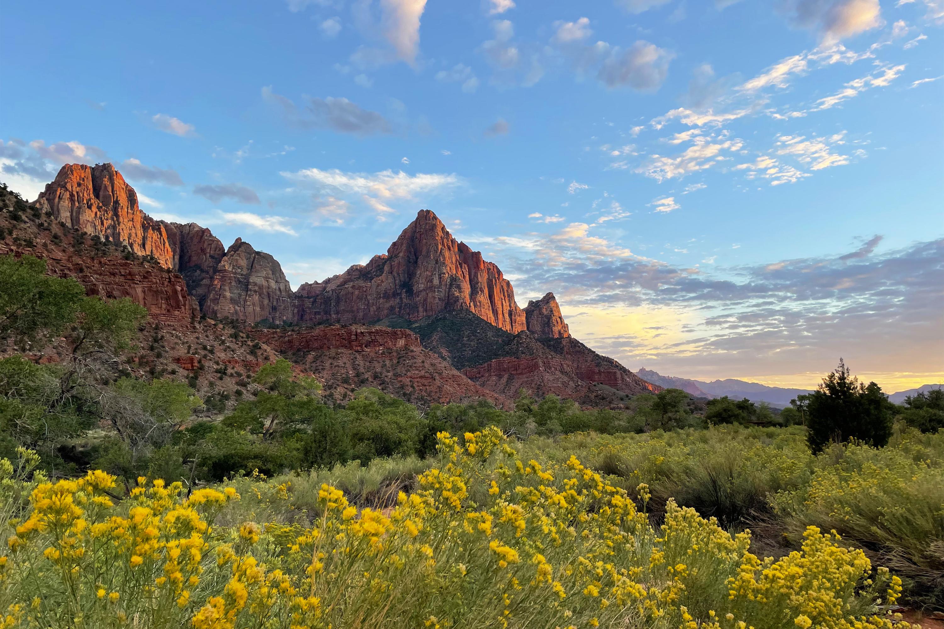
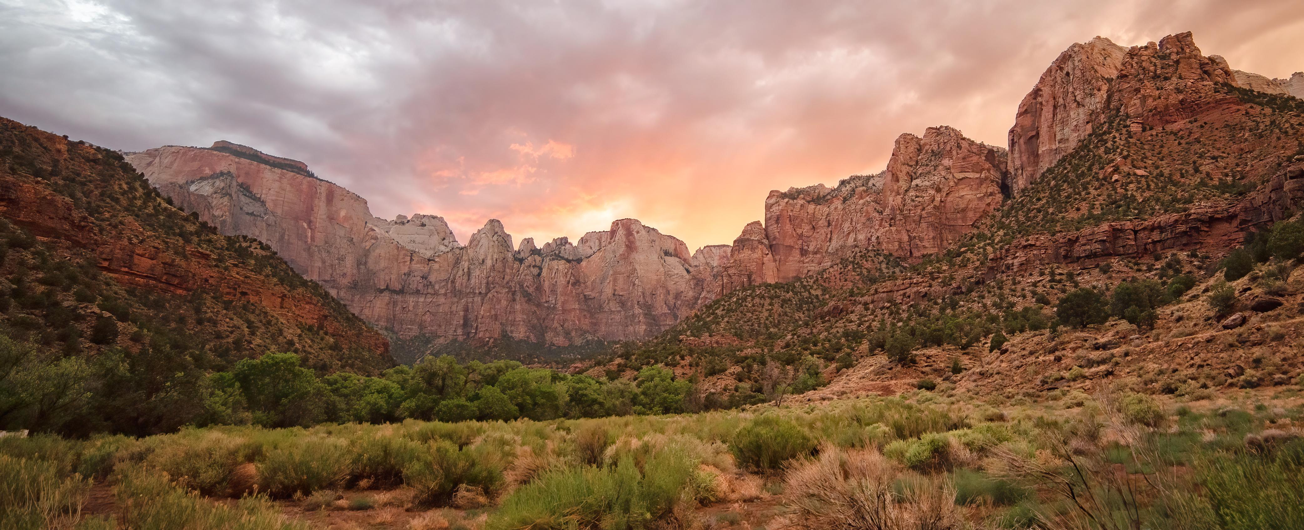
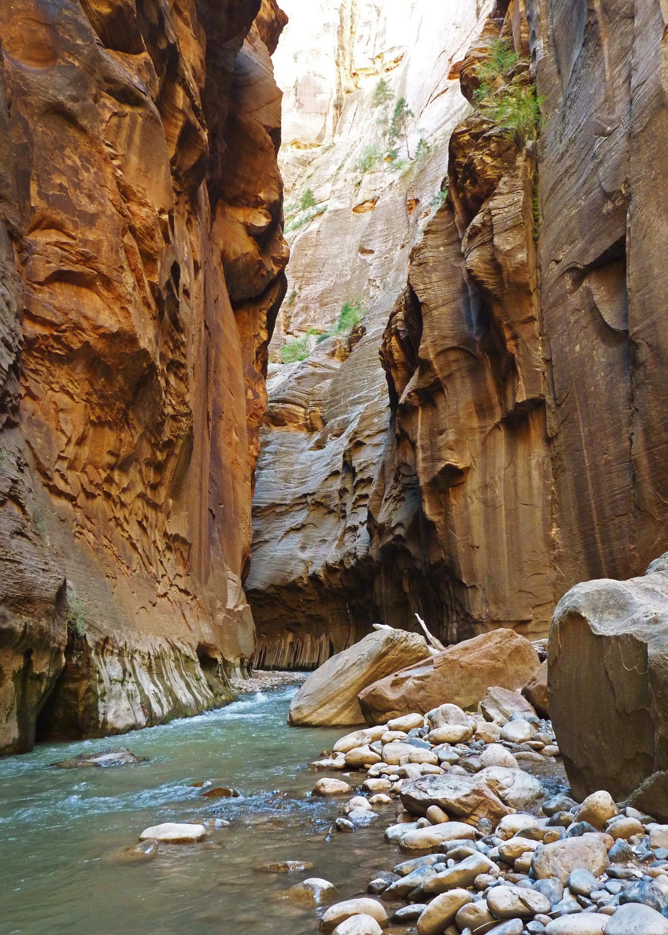
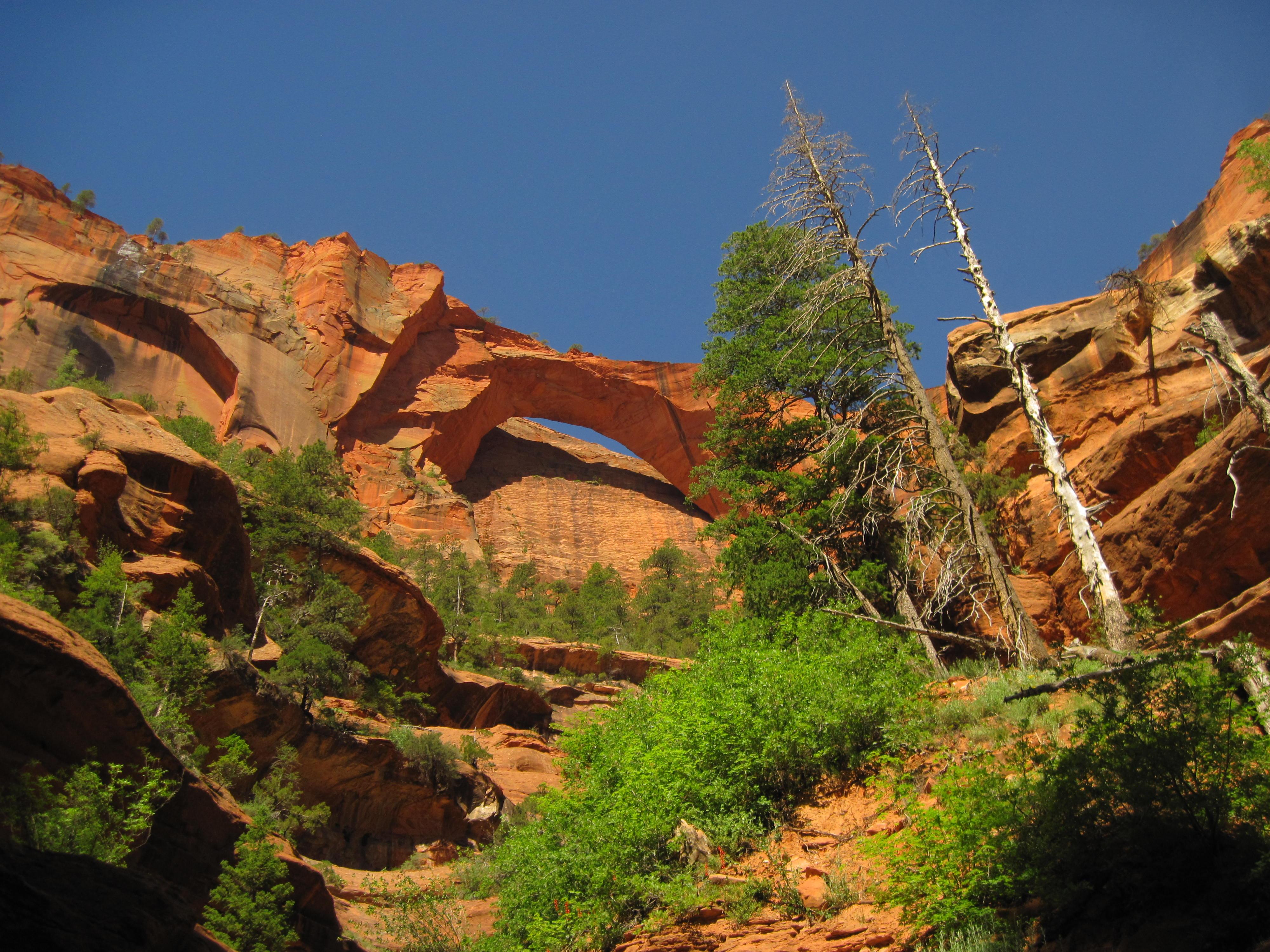
Follow the paths where people have walked for thousands of years. Gaze up at massive sandstone cliffs of cream, pink, and red that soar into a brilliant blue sky. Experience the tall, stretching walls of a narrow slot canyon. Zion’s unique array of plants and animals will enchant you as you absorb the rich history of the past and enjoy the excitement of present-day adventures.
Zion National Park is a national park of the United States located in southwestern Utah near the town of Springdale. Located at the junction of the Colorado Plateau, Great Basin, and Mojave Desert regions, the park has a unique geography and a variety of life zones that allow for unusual plant and animal diversity. Numerous plant species as well as 289 species of birds, 75 mammals, and 32 reptiles inhabit the park's four life zones: desert, riparian, woodland, and coniferous forest. Zion National Park includes mountains, canyons, buttes, mesas, monoliths, rivers, slot canyons, and natural arches. The lowest point in the park is 3,666 ft (1,117 m) at Coalpits Wash and the highest peak is 8,726 ft (2,660 m) at Horse Ranch Mountain. A prominent feature of the 229-square-mile (590 km2) park is Zion Canyon, which is 15 miles (24 km) long and up to 2,640 ft (800 m) deep. The canyon walls are reddish and tan-colored Navajo Sandstone eroded by the North Fork of the Virgin River. The park attracted 4,984,525 visitors in 2025.
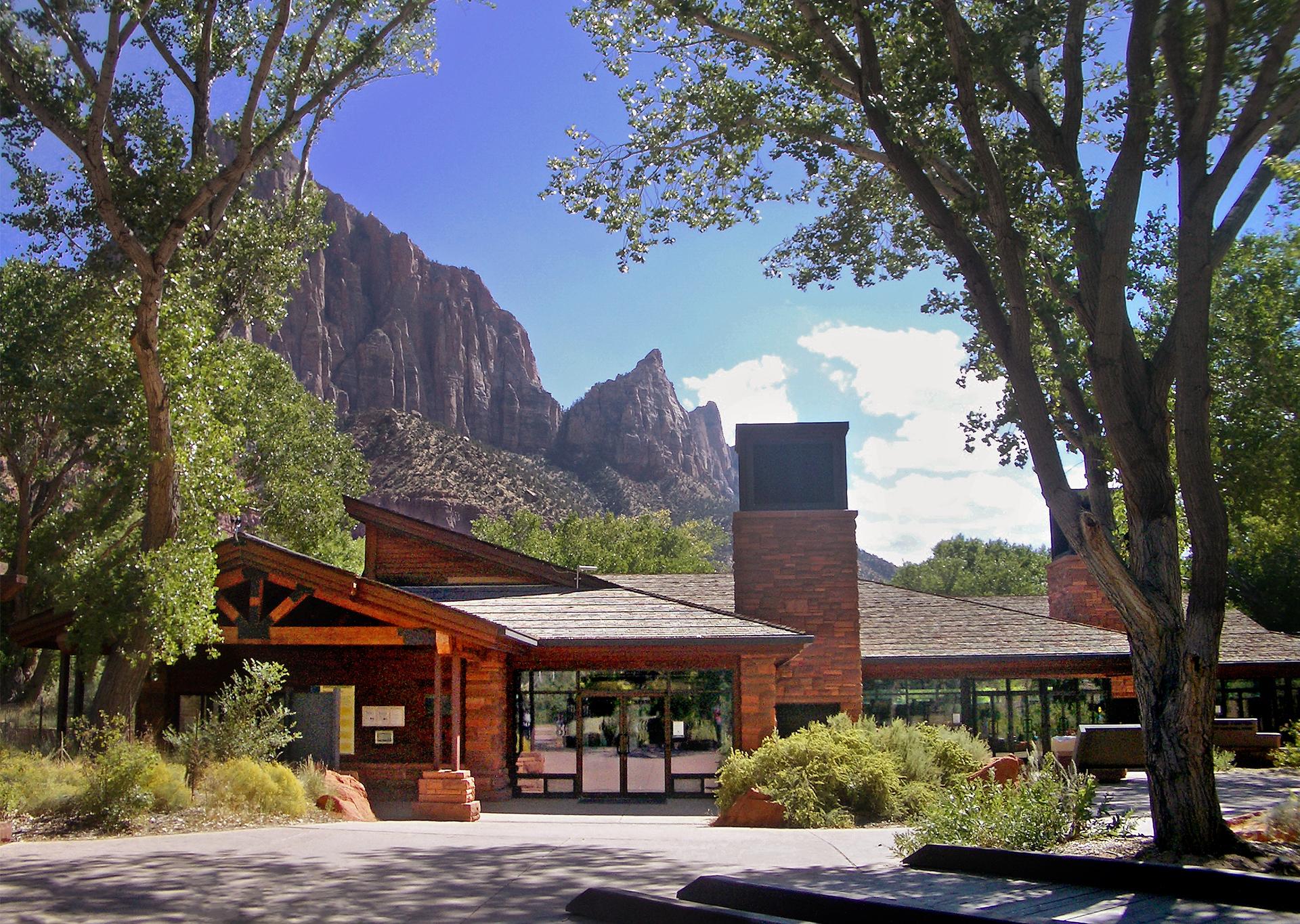
Zion National Park's main, south entrance and administrative offices are located near Springdale, Utah You may drive yourself on all open park roads except the Zion Canyon Scenic Drive. During most of the year, the Scenic Drive is accessed by shuttle bus only. Shuttles are free to ride. Board one in Springdale or at the Zion Canyon Visitor Center.
Zion is known for a wide range of weather conditions. Temperatures vary with changes in elevation and day/night temperatures may differ by over 30°F. In summer, temperatures in Zion National Park often exceed 100°F/38°C. Zion experiences monsoons from mid-July into September that result in an increased risk of flash floods. Always be aware of the threat of storms and lightning and be prepared for a wide range of weather conditions. Winters are generally mild.
Source: National Park Service
Admits private, non-commercial vehicle (15 passenger capacity or less) and all occupants to Zion National Park. Valid for 1-7 days.
Valid for 7 days. Admits up to 2 private, non-commercial motorcycles with up to 4 total passengers.
Admits one individual with no car to Zion National Park. Typically used for bicyclists, hikers and pedestrians. Youth 15 and under are admitted free. Valid for 1-7 days.
Admits one individual with no car to Zion National Park. Typically used for bicyclists, hikers and pedestrians. Youth 15 and under are admitted free. Valid for 1-7 days.
Park facts, fees, and activities confirmed against the National Park Service registry.
National Park Service registryChecked 2026-08-04
- La Verkin Creek Trail to Kolob Arch
The La Verkin Creek Trail to the Kolob Arch allows hikers outstanding opportunities for solitude in a primitive area of Zion Wilderness. The trail begins at Lee Pass with stunning views of the Kolob Canyons as it crosses Timber Creek and continues to descend toward La Verkin Creek.
- Kayenta Trail
The moderate, 2.0 mi (3.2 km) Kayenta Trail follows the Virgin River before ascending to the Lower and Upper Emerald Pool Trails. Provides panoramic views of Zion Canyon along the way. Long drop-offs are present along this trail.
- Weeping Rock
Short but steep! From the parking area, you'll cross the bridge and head to the left onto a paved trail to Weeping Rock. Along the way, look for small trailside exhibits and watch for minor drop-offs. The trail ends at a set of steps leading you to a rock alcove with dripping springs.
- Timber Creek Overlook
Follows a ridge to views of Timber Creek, Kolob Terrace, and the Pine Valley Mountains.
- Taylor Creek Trail
Kolob Canyons hike. Follows the Middle Fork of Taylor Creek past two homestead cabins to Double Arch Alcove. Group size limit on Wilderness trails is 12 people.
- Watchman Trail
The Watchman trail is out-and-back. From the relatively flat beginning section of trail by the river, this unpaved trail climbs to a magnificent viewpoint of the Watchman, Temples and Towers, lower Zion Canyon, and the Town of Springdale.
- West Rim to Scout Lookout
The strenuous West Rim Trail ascends ~1,000 ft (305 m) to Scout Lookout, high above the canyon floor. Hikers cross the Virgin River and then ascend a series of steep switchbacks along the canyon wall.
- Sand Bench
The Sand Bench Trail travels atop the remains of an ancient rockfall. This trail leads hikers along the Virgin River and then ascends a landslide that dammed the Virgin River 8,000 years ago and created a lake that extended to Angels Landing.
Source: National Park Service
Where is Zion National Park?
Zion National Park is in Utah.
When was Zion National Park established?
Zion National Park was established in 1919.
How big is Zion National Park?
Zion National Park covers 230 square miles (147,243 acres).
How much does it cost to enter Zion National Park?
Zion National Park charges $35 per private vehicle. Other rates apply to motorcycles, cyclists and walk-ins, and some parks add their own reservation or surcharge on top.
Can you camp in Zion National Park?
Yes. The National Park Service runs 3 campgrounds in Zion National Park, with 314 campsites between them.
Does Zion National Park have a visitor center?
Yes. Zion National Park has 4 visitor centers: Human History Museum, Kolob Canyons Visitor Center, Zion Canyon Visitor Center, Zion Nature Center.
Day trips start here
- Zion National Park · 8 mi
- Mount Carmel Junction · 17 mi
Drive Zion with Byway
Byway plans the scenic day around Zion — real places, real weather, every stop verified. Zero hallucinations. Google Maps for turns. Byway for soul.