Grand Teton National Park

Official park boundary · National Park Service
Take the scenic way to Grand Teton National Park.
Byway plans around your taste, verified places, real weather and opening hours — then opens every leg in Google Maps with one tap.
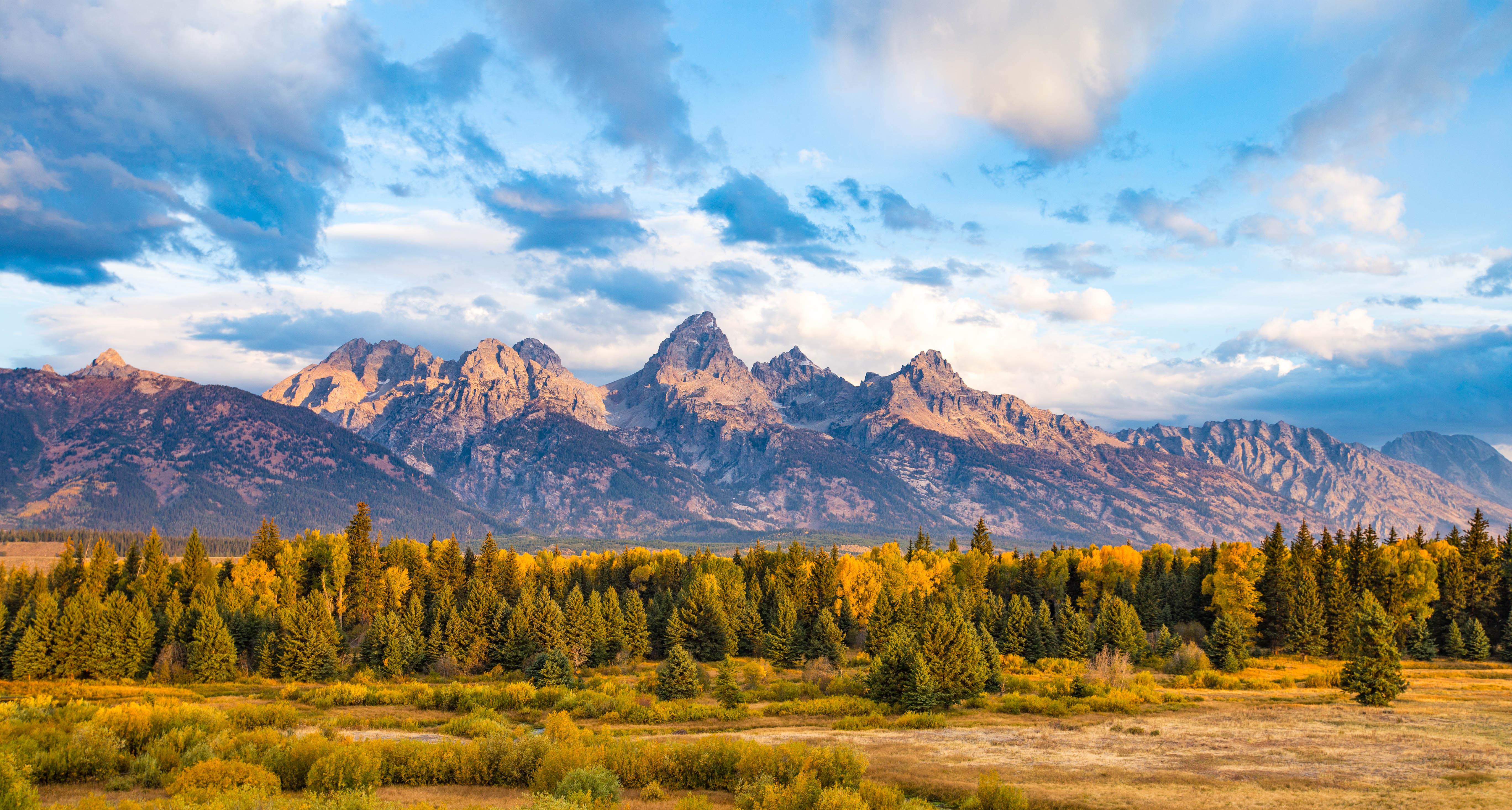
Soaring over a landscape rich with wildlife, pristine lakes, and majestic alpine vistas, the Teton Range stands as a testament to generations of stewards. For over 11,000 years, communities have thrived in the valley known as Jackson Hole, turning these mountains into more than just peaks—they embody imagination and enduring human connection.
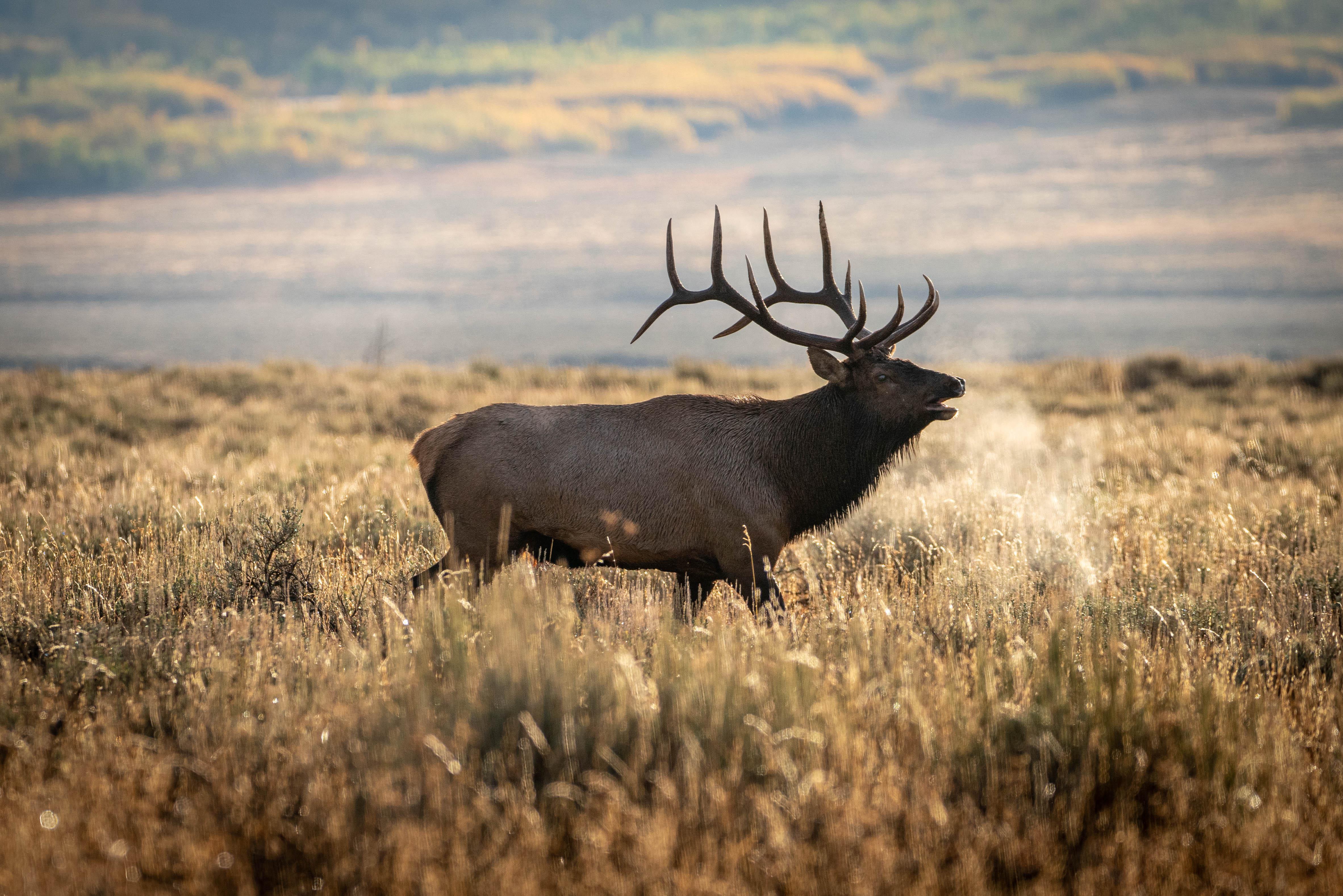
Grand Teton National Park is a national park of the United States in northwestern Wyoming. At approximately 310,000 acres, the park includes the major peaks of the 40-mile-long (64 km) Teton Range as well as most of the northern sections of the valley known as Jackson Hole. Grand Teton National Park is 10 miles (16 km) south of Yellowstone National Park, to which it is connected by the John D. Rockefeller Jr. Memorial Parkway. Along with surrounding national forests, these three protected areas constitute the almost 22-million-acre (89,000-square-kilometer) Greater Yellowstone Ecosystem, one of the world's largest intact mid-latitude temperate ecosystems.
Grand Teton National Park is located in northwestern Wyoming; north of the town of Jackson, Wyoming and south of Yellowstone National Park. By car from Salt Lake City, Utah is approximately 300 miles and about 5-6 hours from the park and from Denver, Colorado is approximately 550 miles and about 8-10 hours from the park. Grand Teton National Park is unique in that it is the only national park that has a commercial airport within its border, Jackson Hole Airport (JAC). For current road info:
Grand Teton National Park has long, cold winters—snow and frost are possible any month. April, May, & June - Mild days and cool nights alternate with rain and snow. July & August - Warm days and cool nights prevail, with afternoon thundershowers common. September, October, & November - Sunny days and cold nights alternate with rain and occasional snowstorms. December to April - Between storms the days are sunny and nights are frigid. Snow blankets the mountains and valley.
Source: National Park Service
Park entrance fee for 7 days for a private, non-commercial vehicle.
Valid for 7 days. Admits up to 2 private, non-commercial motorcycles with up to 4 total passengers.
Park entrance fee for 7 days for each visitor 16 years and older entering by foot, bicycle, ski, etc.
A commercial tour is defined as consisting of one or more persons traveling on an itinerary that has been packaged, priced, or sold for leisure or recreational purposes by an organization that realizes financial gain through the provision o…
Park facts, fees, and activities confirmed against the National Park Service registry.
National Park Service registryChecked 2026-08-04
- Phelps Lake Loop
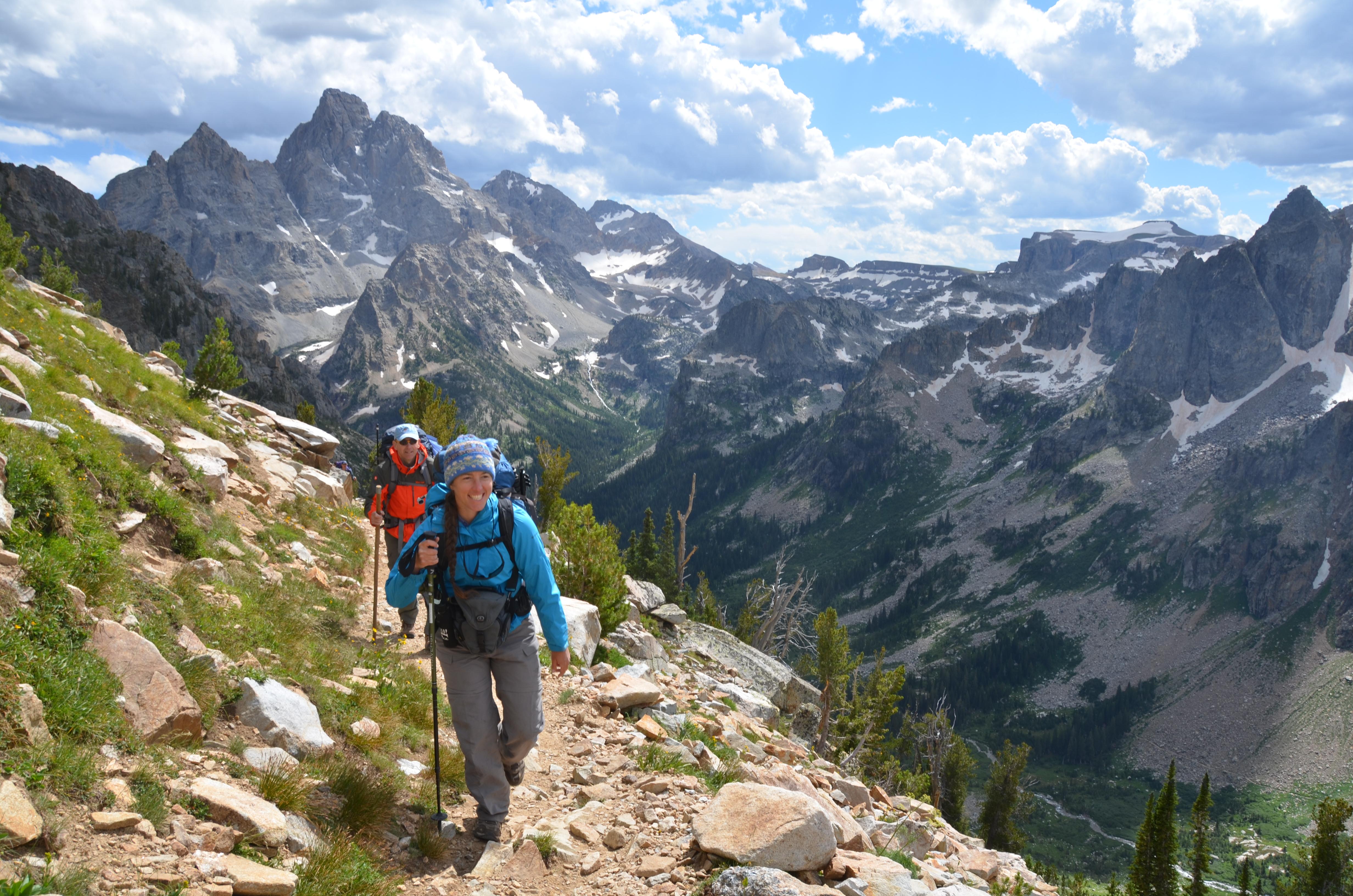
Circle Phelps Lake and get views of Death Canyon and the Teton Range on this moderate hike.
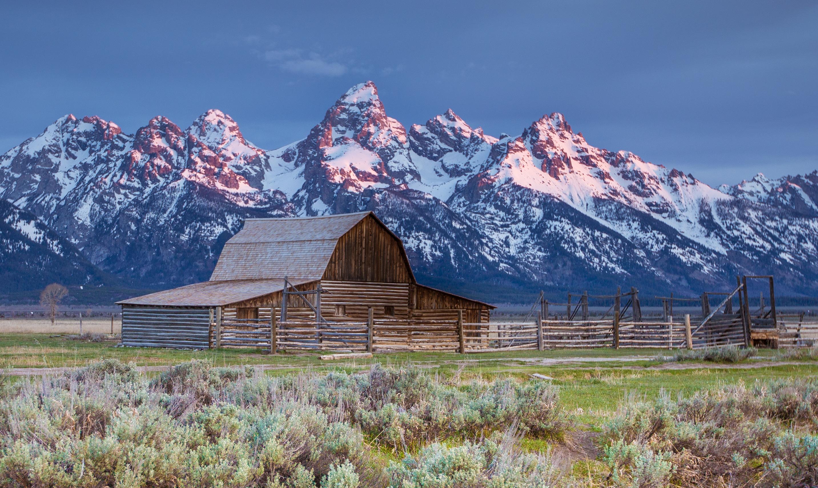
- Mormon Row
Visit Mormon Row to see the historic Moulton Barns and Teton views.
- Lake Creek - Woodland Trail Loop
Take an easy hike to the shore of Phelps Lake.
- Hermitage Point
Take a moderately strenuous day or overnight hike to Hermitage Point for views of Jackson Lake and the Teton Range.
- Moose-Wilson Road
The Moose-Wilson Road is a corridor road connecting the towns of Moose and Wilson.
- Aspen Ridge - Boulder Ridge
Travel through aspens and boulders as you hike to Phelps Lake on this loop trail.
- Valley Trail - Phelps Lake Overlook
Travel from Teton Village to the Phelps Lake Overlook on this strenuous hike.
- Granite Canyon
Hike through forests and meadows in Granite Canyon on this moderately strenuous to strenuous hike.
Source: National Park Service
Where is Grand Teton National Park?
Grand Teton National Park is in Wyoming.
When was Grand Teton National Park established?
Grand Teton National Park was established in 1929.
How big is Grand Teton National Park?
Grand Teton National Park covers 484 square miles (310,044 acres).
How much does it cost to enter Grand Teton National Park?
Grand Teton National Park charges $35 per private vehicle. Other rates apply to motorcycles, cyclists and walk-ins, and some parks add their own reservation or surcharge on top.
Can you camp in Grand Teton National Park?
Yes. The National Park Service runs 8 campgrounds in Grand Teton National Park, with 1154 campsites between them.
Does Grand Teton National Park have a visitor center?
Yes. Grand Teton National Park has 6 visitor centers: Colter Bay Visitor Center, Craig Thomas Discovery & Visitor Center, Jenny Lake Ranger Station, Jenny Lake Visitor Center, Laurance S. Rockefeller Preserve Center, National Elk Refuge & Greater Yellowstone Visitor Center.
Day trips start here
- Grand Teton National Park · 0 mi
- Driggs · 22 mi
- Jackson · 25 mi
Drive Grand Teton with Byway
Byway plans the scenic day around Grand Teton — real places, real weather, every stop verified. Zero hallucinations. Google Maps for turns. Byway for soul.