White River Wilderness Information Center
46.9020, -121.5547 · Park boundary: National Park Service
Take the scenic way to White River Wilderness Information Center.
Byway plans around your taste, verified places, real weather and opening hours — then opens every leg in Google Maps with one tap.
Open during the summer, the White River Wilderness Information Center (WIC) located at the Winter River Entrance. The WIC has an information desk staffed by wilderness rangers. Rangers at the WIC assist with wilderness permits, trip planning, and providing maps and trail condition updates.
- Every day
- 7:30AM - 5:00PM
Located at the White River Entrance on the northeast area of the park. Services include wilderness camping and east side climbing permits, restrooms, and information on hiking & backpacking. Generally open daily from late May to mid-October and closed in winter.
- Closed Seasonally · Oct 14, 2026 – May 21, 2027 · Closed
There is no official address for this facility. The White River Ranger Station & Wilderness Information Center is located in the northeast area of Mount Rainier National Park on White River Road, 1.3 miles from its junction with SR410. The nearest town is Greenwater, Washington. The GPS address is 46.902017, -121.554623.
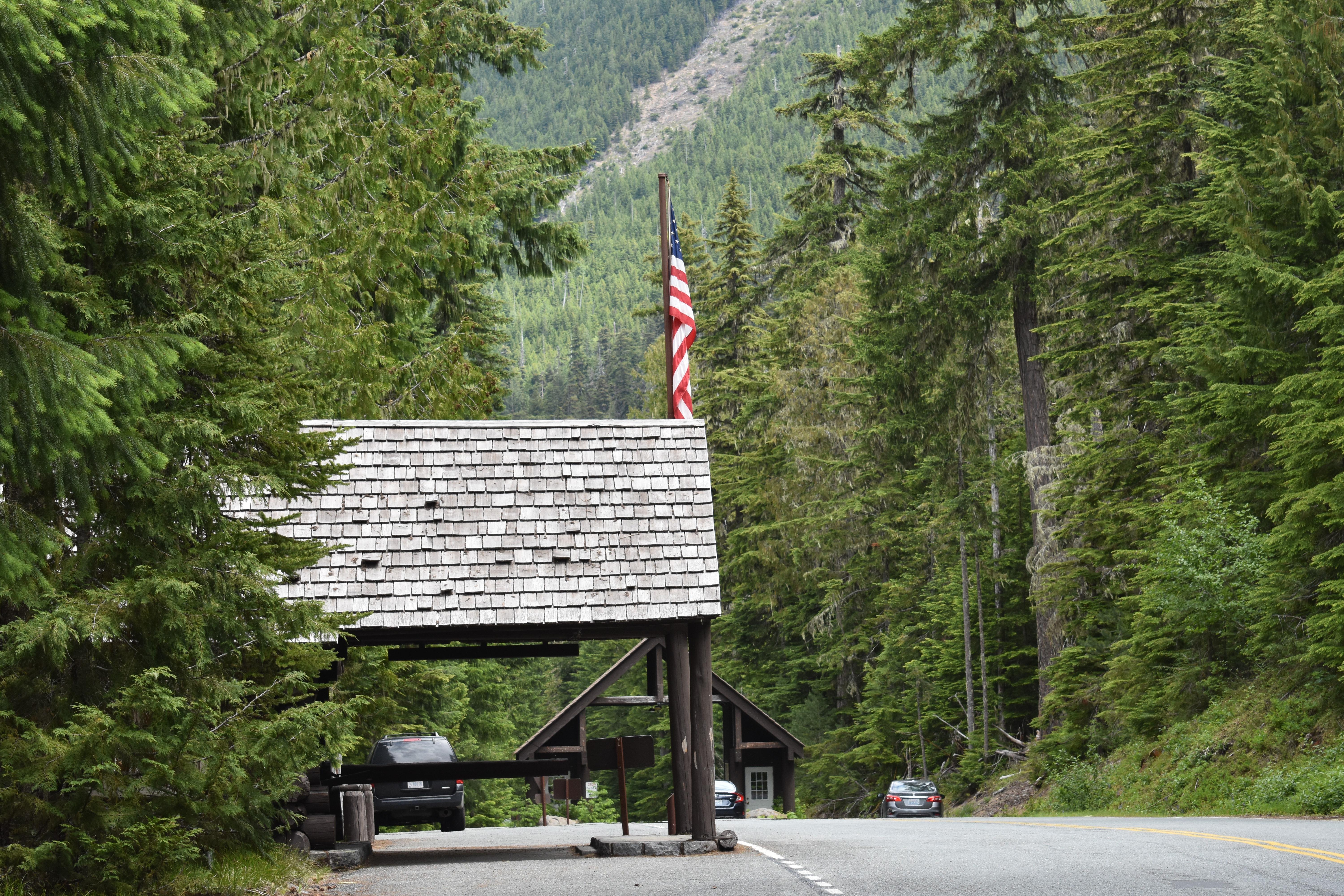
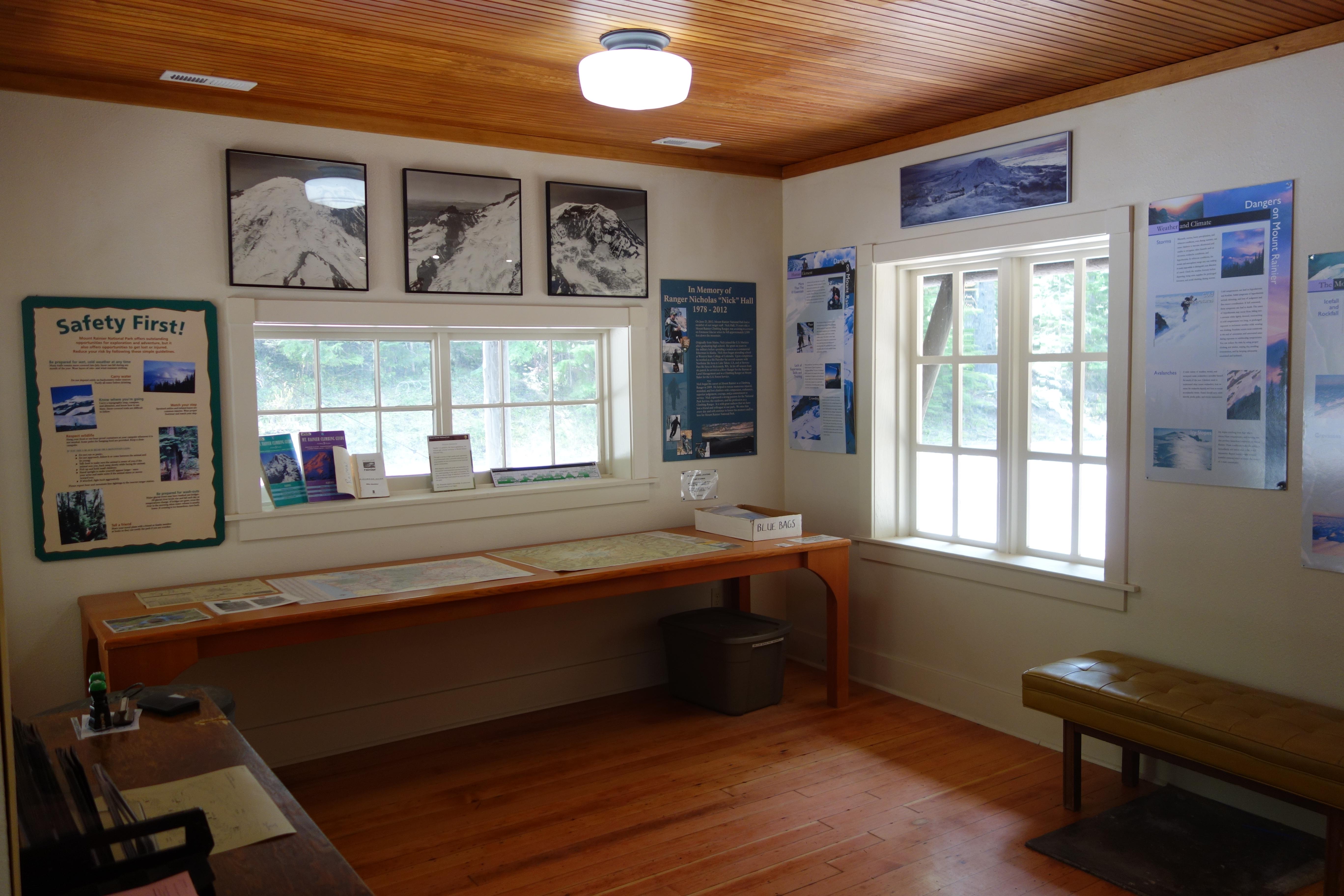
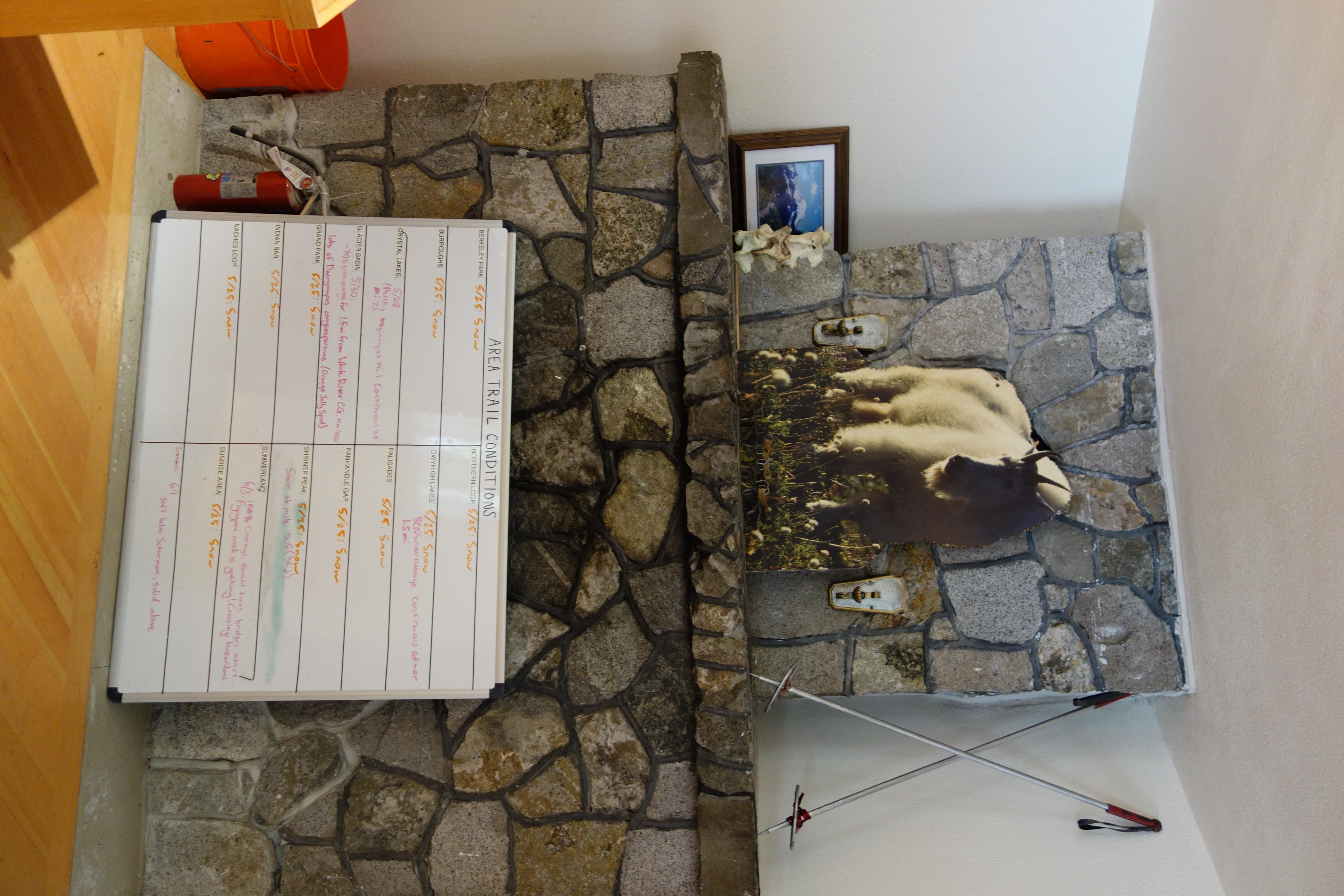
The White River Wilderness Information Center (WIC) is located in a small rustic ranger station on the right side of the road after passing through the Winter River Entrance Station. The single-story log building has a porte-cochère (covered, drive through porch), which is blocked off so vehicles can't drive through it anymore. The front door is to the right of the porte-cochère. To the left of the WIC is a parking area with paths leading through the trees to restrooms. The path to the women's restroom is located at the far end of the parking area from the WIC with the path to the men's restroom closer to the WIC. An information board is between the two paths. Inside the WIC, a short entrance hallway connects to the main room, which has a backwards L-shape with wood floor. Immediately to the right is a stone fireplace. A white board updated with current trail conditions typically leans against the front of the fireplace. To the right of the fireplace (moving counterclockwise) is the information desk, staffed by wilderness rangers. A large map of Mount Rainier National Park hangs on the wall behind the desk. The rest of the room, including a small space to the left of the entrance, has low benches or tables against the wall with information materials on the tables, and there are informational signs hanging on the walls mixed in with photos of the mountain.
Location, hours, and facility details confirmed against the National Park Service registry.
National Park Service registryChecked 2026-08-04
Where is White River Wilderness Information Center?
White River Wilderness Information Center in Mount Rainier National Park is at White River Road, Mount Rainier National Park, WA.
What services does White River Wilderness Information Center offer?
White River Wilderness Information Center in Mount Rainier National Park lists automated external defibrillator (aed), cellular signal, fire extinguisher, information, information - maps available, information - park newspaper available, information - ranger/staff member present, information kiosk/bulletin board, parking - auto, permits issued, recycling, restroom - seasonal, toilet - flush, trailhead/hiker register, trash/litter receptacles.
What is the phone number for White River Wilderness Information Center?
White River Wilderness Information Center in Mount Rainier National Park can be reached on 360-569-6670.
- Chinook Scenic BywayNationally designated · 1 mi away
- JCT MUD MTN RD VIC ENUMCLAW TO JCT SR 12 VIC NACHES1 mi away
- JCT SCATTER CREEK CROSSING TO JCT SR 12 VIC NACHES1 mi away
- JCT SR 12 OHANAPECOSH JCT VIC WHITE PASS TO JCT SR 410 VIC CHINOOK PASS3 mi away
- JCT SR 12 VIC MORTON TO JCT SR 410 VIC CHINOOK PASS3 mi away
- White Pass Scenic BywayNationally designated · 14 mi away
Drive to White River Wilderness Information Center
Byway plans the scenic way in — real places, real weather, every stop verified. Zero hallucinations. Google Maps for turns. Byway for soul.