Voyageurs National Park

Official park boundary · National Park Service
Take the scenic way to Voyageurs National Park.
Byway plans around your taste, verified places, real weather and opening hours — then opens every leg in Google Maps with one tap.
Voyageurs National Park spans 218,000 acres of lakes, forests, and streams in northern Minnesota. Established in 1975, the park is named after the French-Canadian Voyageurs who once navigated these abundant waters. Voyageurs National Park provides exceptional opportunities for recreation and exploration amidst landscapes rich in natural beauty, history, and cultural heritage.
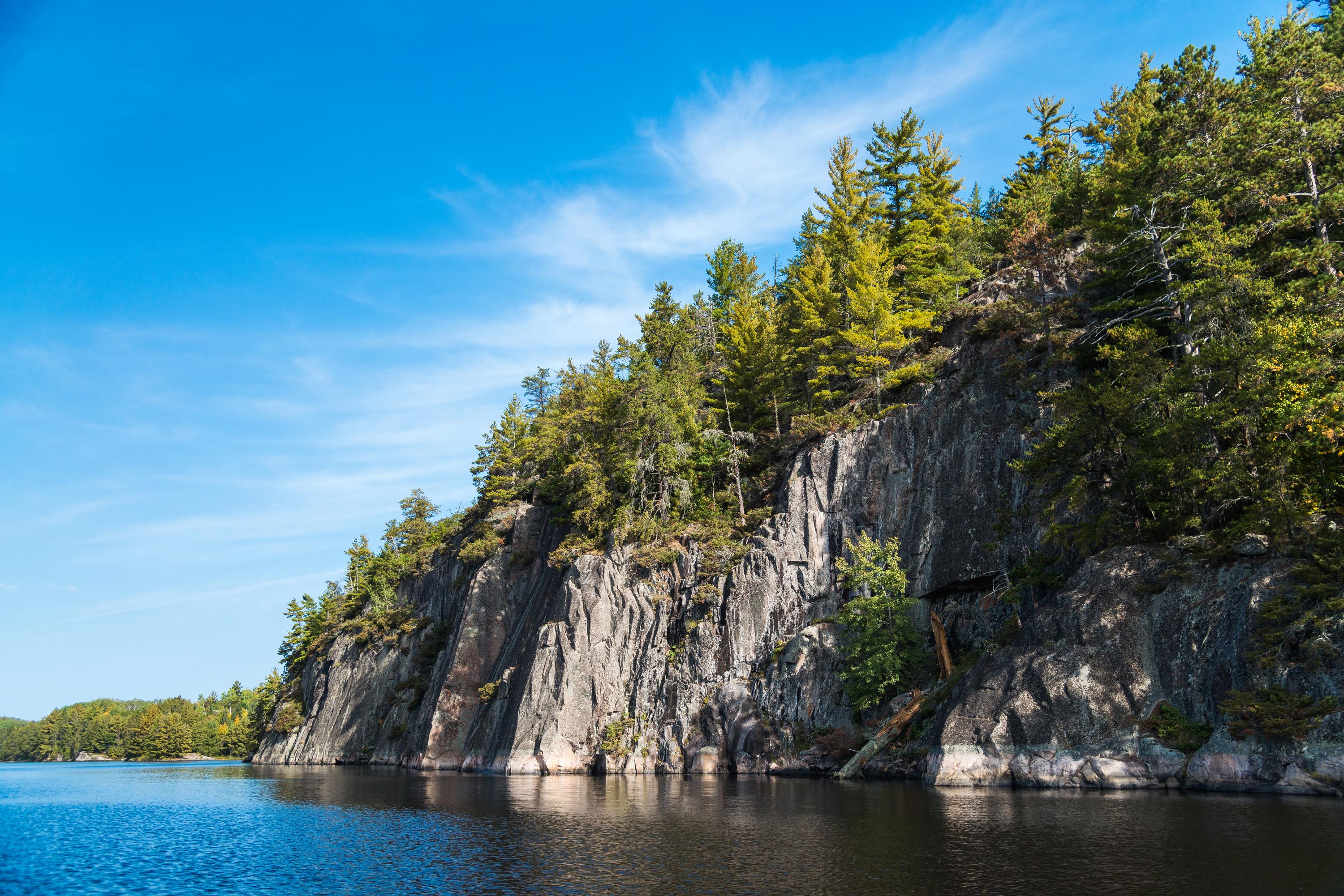
Voyageurs National Park is a national park of the United States in northern Minnesota established in 1975. It is located near the city of International Falls. The park's name commemorates the voyageurs—French-Canadian fur traders who were the first European settlers to frequently travel through the area. Notable for its outstanding water resources, the park is popular with canoeists, kayakers, other boaters, and fishermen. The Kabetogama Peninsula, which lies entirely within the park and makes up most of its land area, is only accessible by boat. To the east of the park lies the Boundary Waters Canoe Area Wilderness.
Voyageurs National Park is located in Northern Minnesota near the Canadian border. Access to Voyageurs is available from many points along Rainy Lake, Kabetogama Lake, Ash River, Crane Lake, and Orr/Pelican Lake. The park's visitor centers and many trails can be reached by car, but much of Voyageurs is best explored by boat. All campsites in the park, except primitive, require a boat to reach.
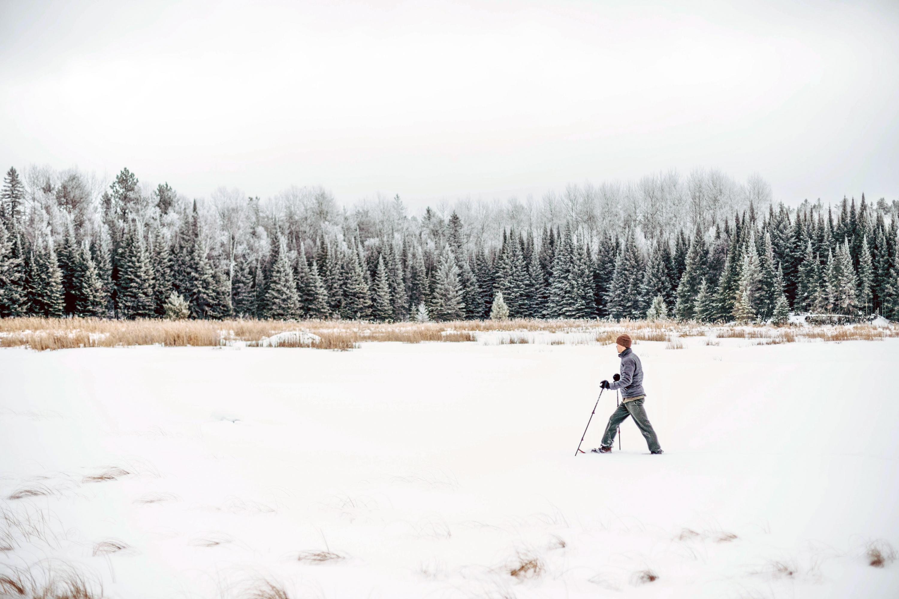
There are four distinct seasons in Voyageur country. During June, July, and August periods of fine, mild weather prevail. The frost-free season averages 120 days from June to mid-September. The average ice-out date is May 3. The first measurable snowfall occurs in late October and the last in late April or early May.
Source: National Park Service
Park facts, fees, and activities confirmed against the National Park Service registry.
National Park Service registryChecked 2026-08-04
- Hike the Oberholtzer Trail
Wander through deciduous and conifer forest as the trail twists around the edge of a cattail filled wetland and past rocks deposited by ancient glaciers. Look for signs of wildlife as you hike to two different overlooks with marsh and lake views.
- Hike Kab-Ash Trail
Please note: The Salmi Road entrance to the Kab-Ash Trail in the Kabetogama community is closed (click to see map). This multi-day trail connects the Kabetogama and Ash River communities through an extensive system of interconnected backcountry forests and wetlands.
- Hike the Locator Lake Trail
Please note: The Cranberry Creek Portage Trail into Locator Lake from Rainy Lake has been permanently closed. Explore this two-mile, one-way hike as an afternoon adventure, or use it as a starting point for an exciting backcountry camping experience.
- Hike Blind Ash Bay Trail
This narrow, winding, rocky trail exposes users to the wonders of the boreal forest. This path is great for birding, it is also frequented by deer and other wildlife. From closed in forest to post card worthy views of Kabetogama Lake, this lollipop loop trail has it all.
- Hike Voyageurs Forest Overlook Trail
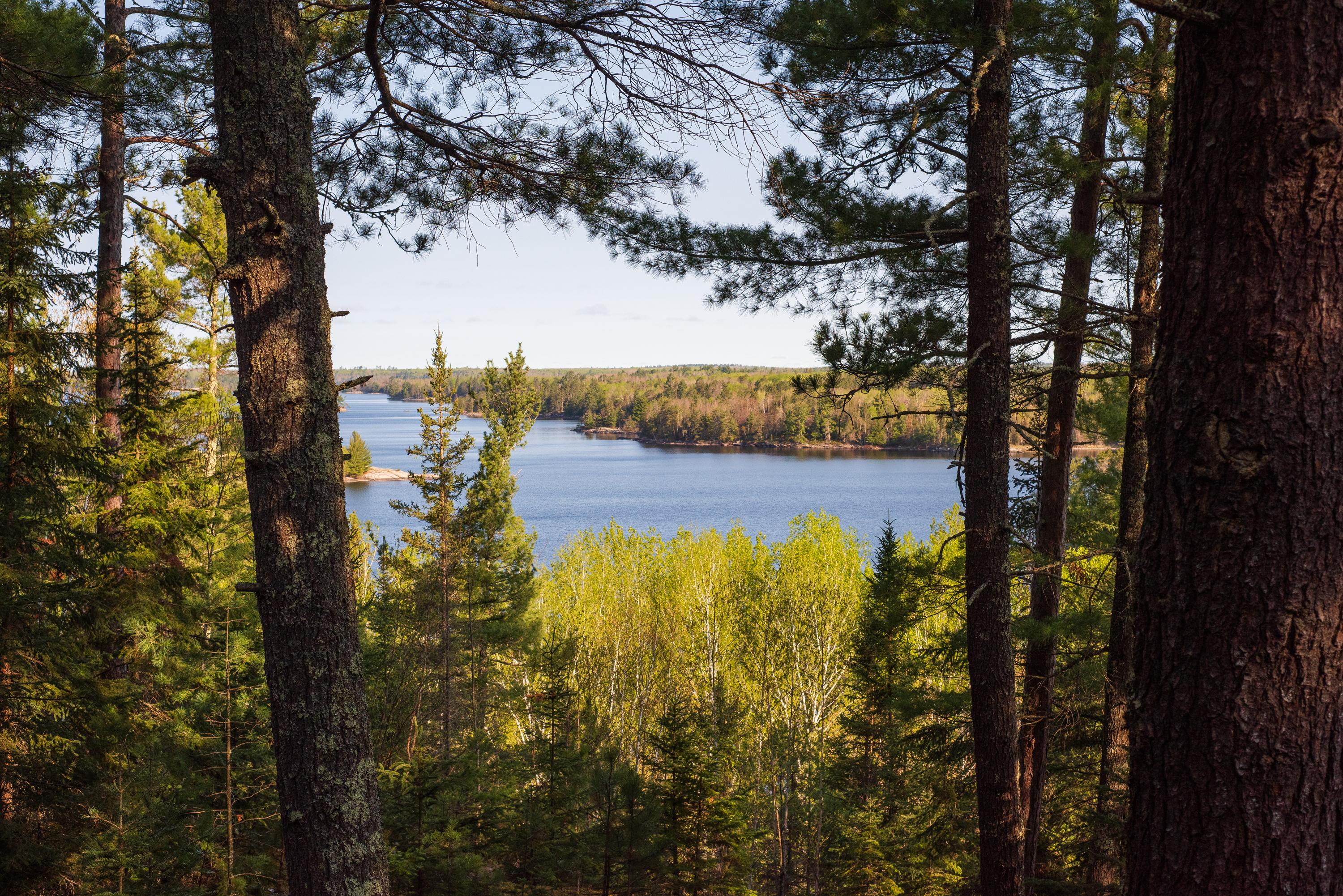
This short trail takes you through a section of forest revealing the changes in the forest at different elevations. Growing trees have blocked the overlook that used to be at the parking area. There are picnic tables and grills by the parking area.
- Hike Black Bay Beaver Pond Trail
Take a boat one mile from the visitor center and hike this trail through northern pine country to a scenic, active beaver pond.
- Hike the Sullivan Bay Trail
This easy hike along an old forest road leads you through both coniferous and deciduous forest. The trail ends at a viewpoint on Sullivan Bay with a picnic table and fire ring.
- Hike Beaver Pond Overlook Trail
A short uphill hike through an aspen and pine forest leads to a rocky outcrop high above a beaver pond. Although beavers are no longer active at this pond, this trail provides great birding opportunities, and the possibility of spotting large wildlife.
Source: National Park Service
Where is Voyageurs National Park?
Voyageurs National Park is in Minnesota.
When was Voyageurs National Park established?
Voyageurs National Park was established in 1975.
How big is Voyageurs National Park?
Voyageurs National Park covers 341 square miles (218,222 acres).
Does Voyageurs National Park have a visitor center?
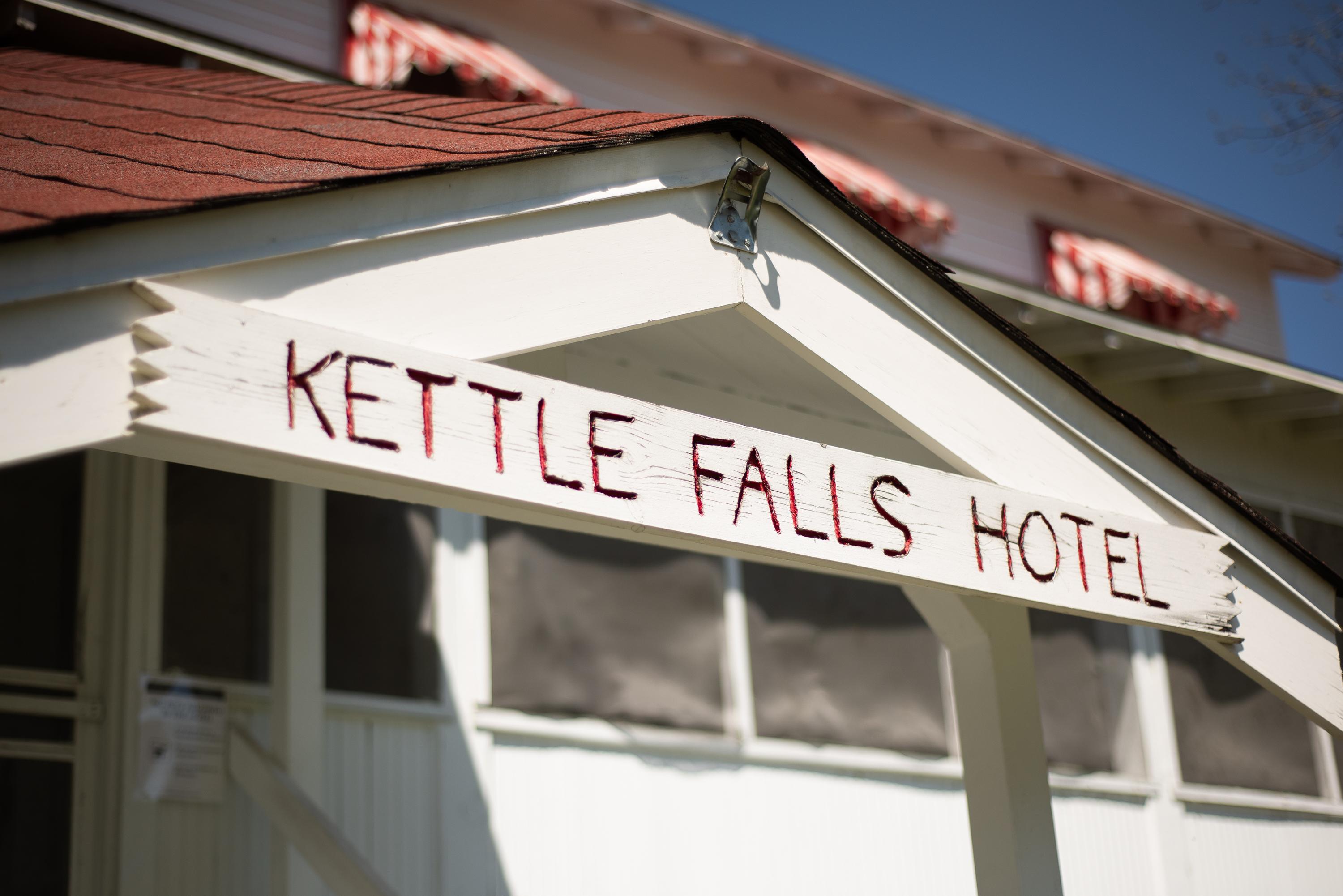
Yes. Voyageurs National Park has 4 visitor centers: Ash River Visitor Center, Crane Lake Visitor Center, Kabetogama Lake Visitor Center, Rainy Lake Visitor Center.
Day trips start here
- Voyageurs National Park · 0 mi
Drive Voyageurs with Byway
Byway plans the scenic day around Voyageurs — real places, real weather, every stop verified. Zero hallucinations. Google Maps for turns. Byway for soul.