Yellowstone National Park

Official park boundary · National Park Service
Take the scenic way to Yellowstone National Park.
Byway plans around your taste, verified places, real weather and opening hours — then opens every leg in Google Maps with one tap.
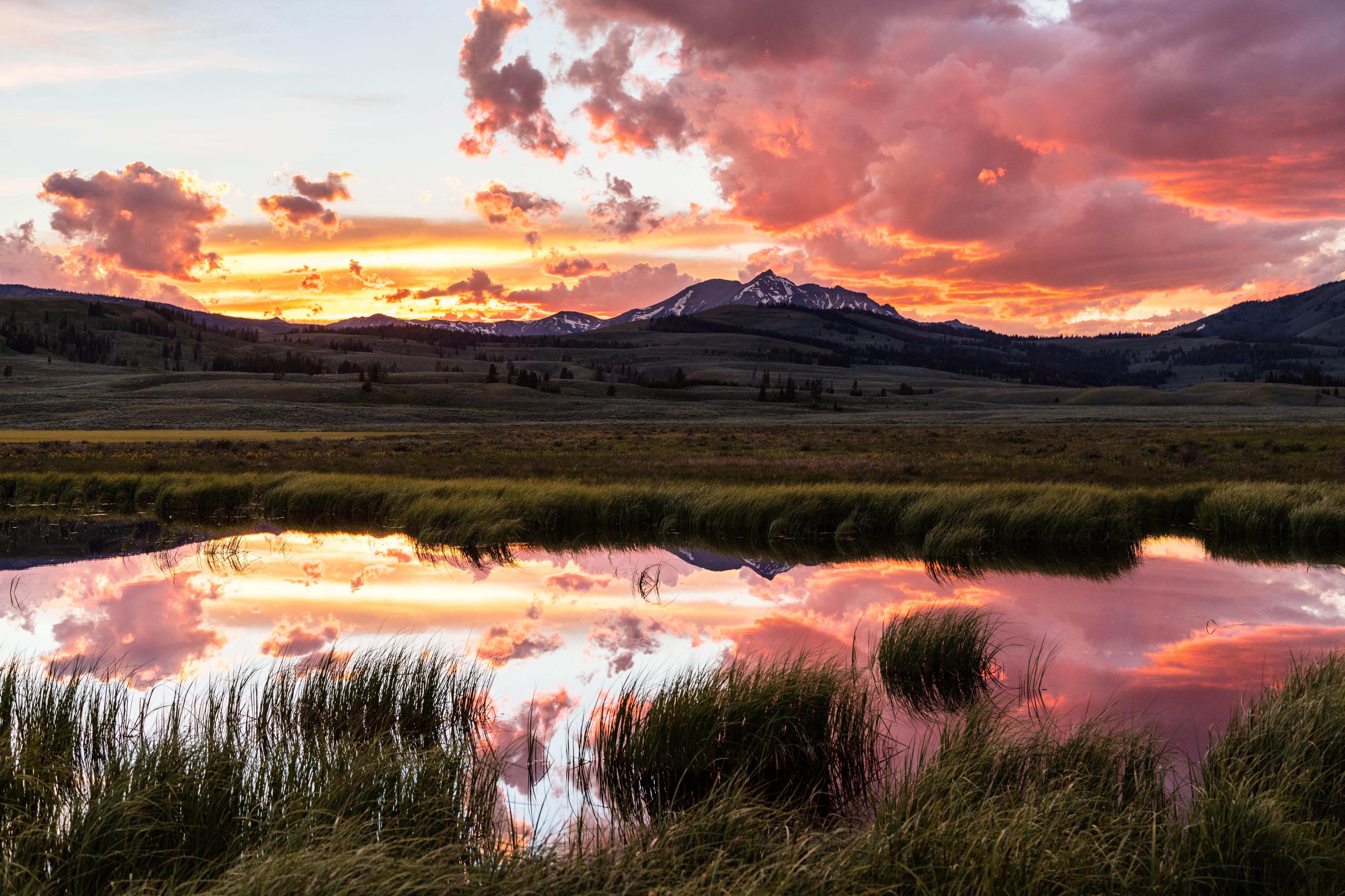
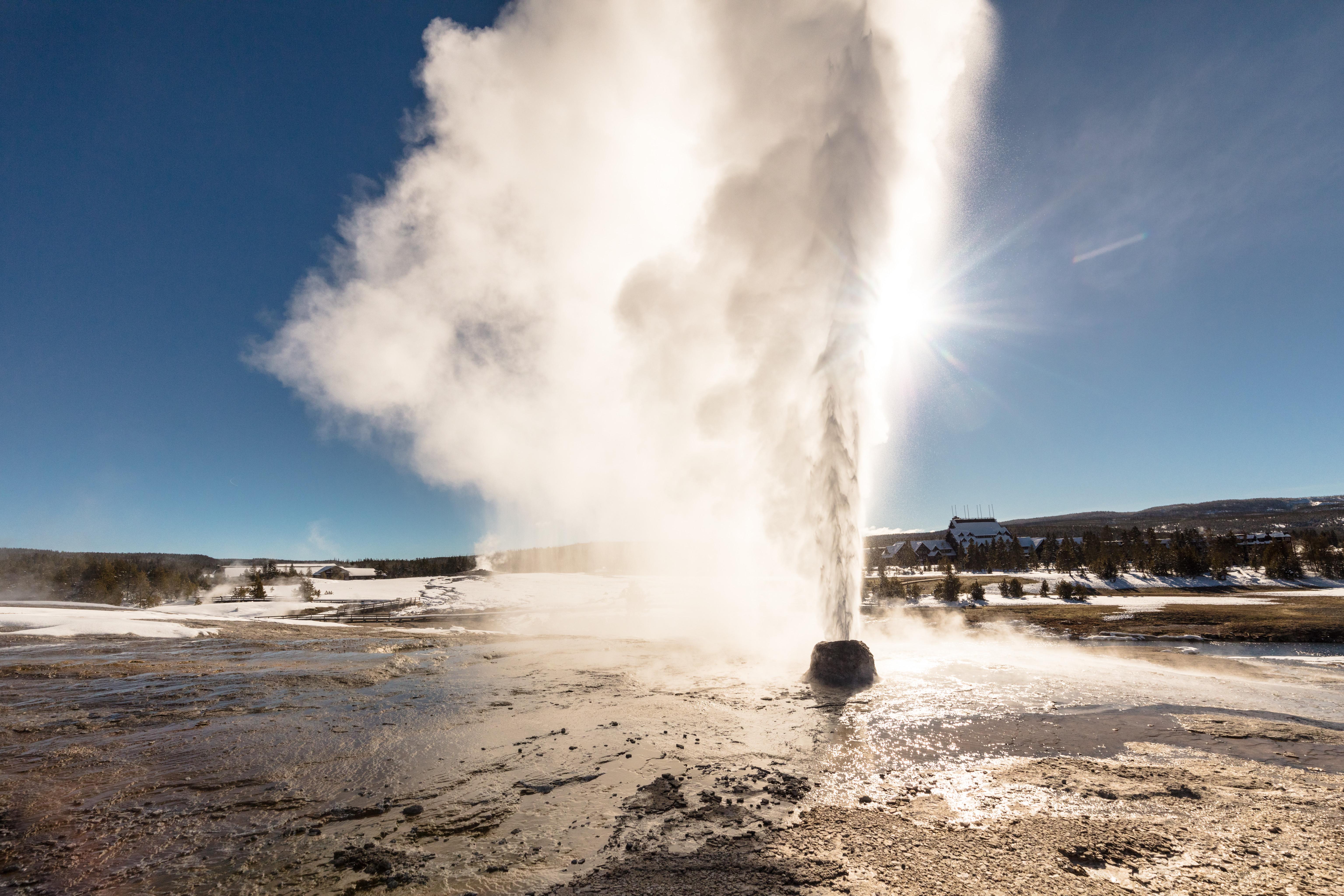
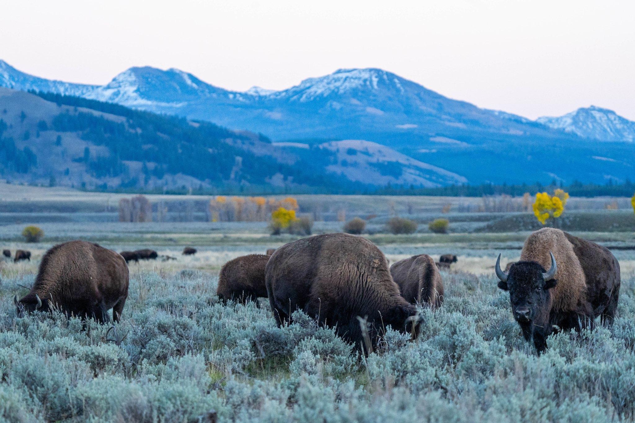
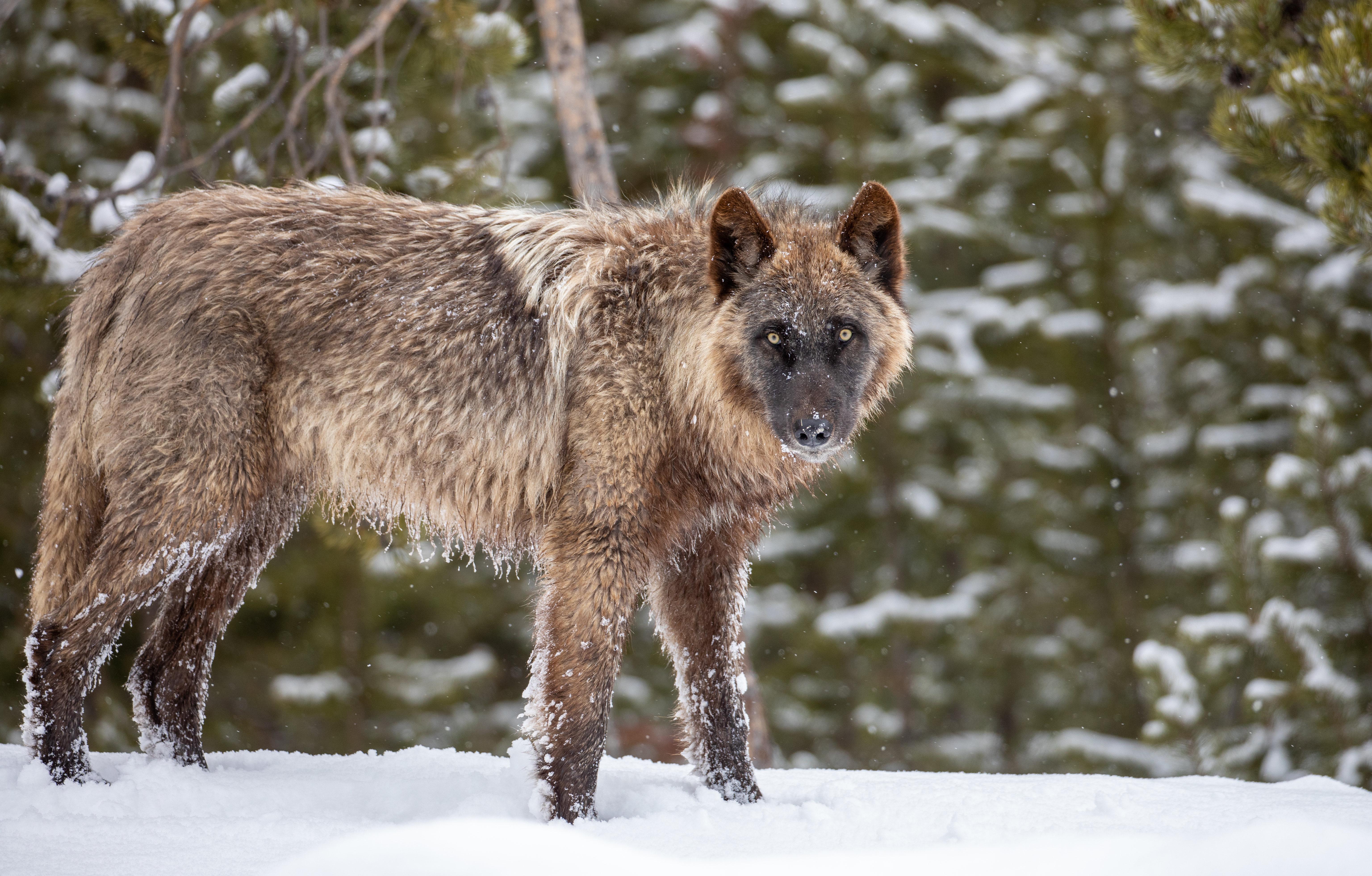
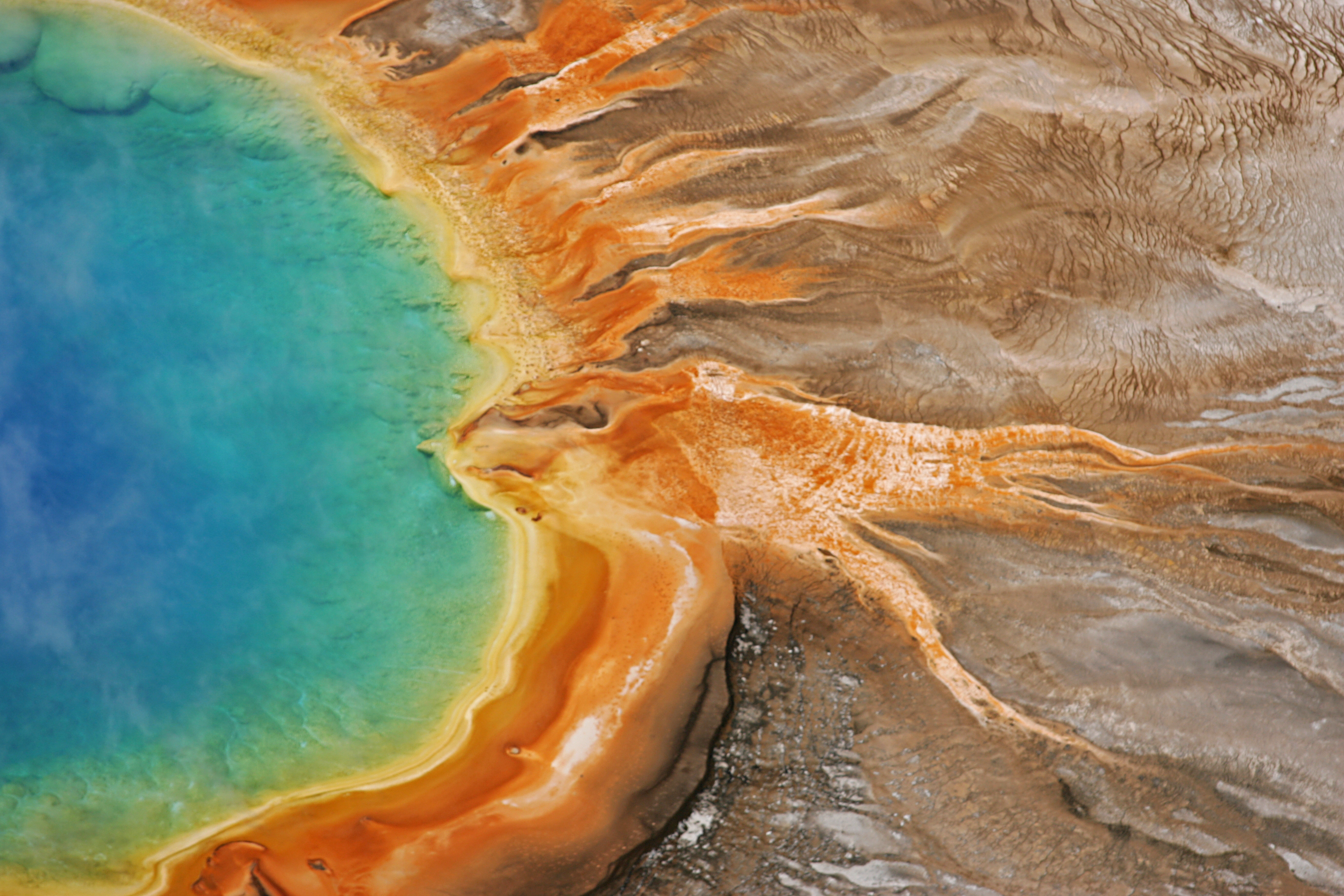
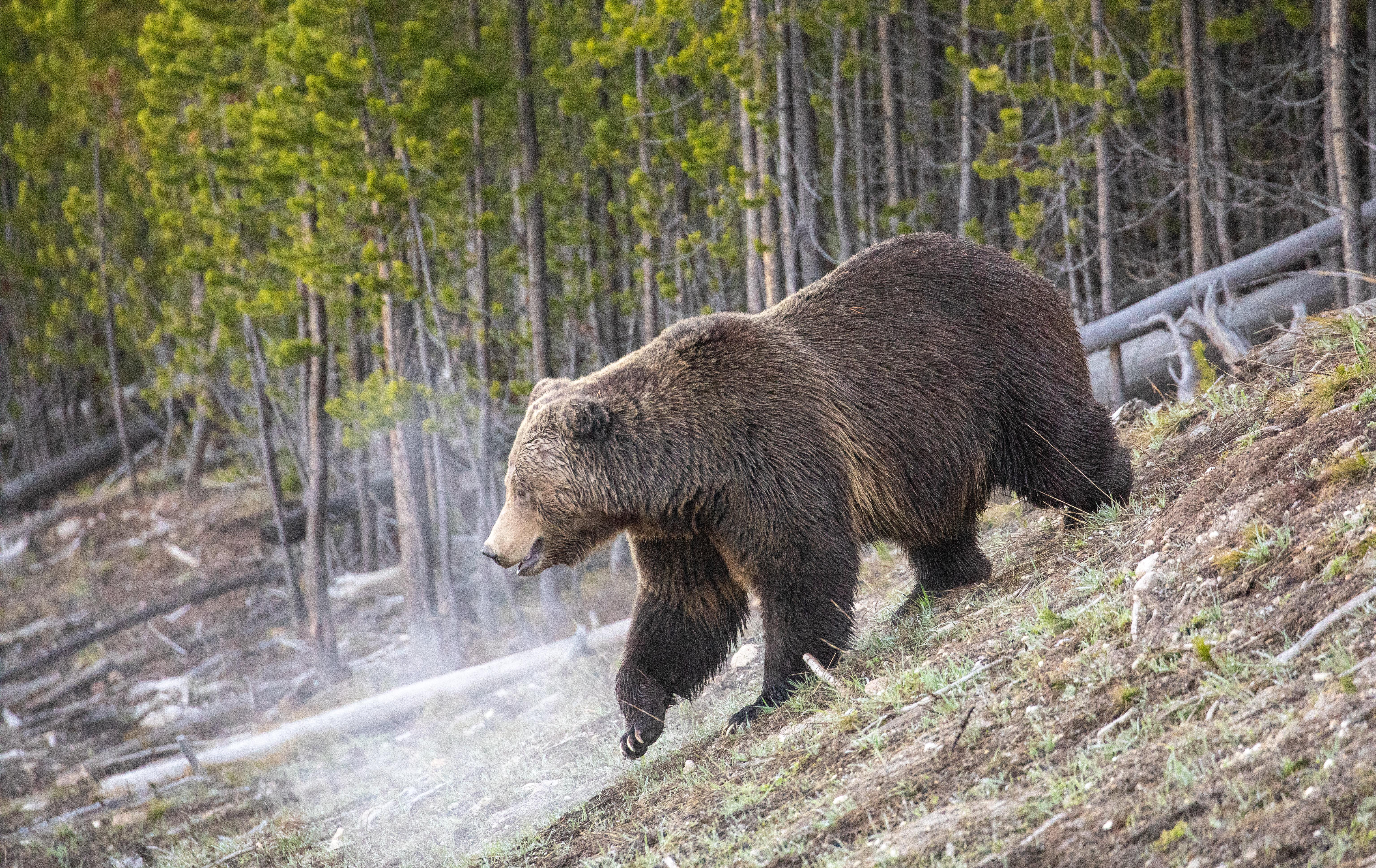
Yellowstone National Park is a national park of the United States located in the northwest corner of the state of Wyoming, with small portions of it extending into Montana and Idaho. The park is known for its wildlife and its many geothermal features, especially the Old Faithful geyser, one of its most popular. While it represents many types of biomes, subalpine forest is the most abundant. It is part of the South Central Rockies forests ecoregion.
Yellowstone National Park covers nearly 3,500 square miles in the northwest corner of Wyoming (3% of the park is in Montana and 1% is in Idaho). Yellowstone has five entrance stations, and several are closed to regular vehicles during winter. It takes many hours to drive between these entrances, so be sure to check the status of roads at the entrance you intend to use while planning your trip and before you arrive.
Yellowstone's weather can vary quite a bit, even in a single day. In the summer, daytime highs can exceed 70°F (21°C), only to drop 20 or more degrees when a thunderstorm rolls through. It can snow during any month of the year, and winter lows frequently drop below 0°F (-18°C), especially at night. Bring a range of clothing options, including a warm jacket and rain gear, even in the summer.
Source: National Park Service
Unlimited entry for one vehicle and all passengers for seven consecutive days, beginning on the day of purchase. Vehicles must be private, non-commercial, and with a seating capacity of 15 or less.
Non-commercial group (e.g. church groups, scouts) traveling in a vehicle with a capacity of 16 or more people. Cost is per person.
Valid for 7 days. Admits up to 2 private, non-commercial motorcycles with up to 4 total passengers.
Valid for 7 days. Admits up to 2 snowmobiles with up to 4 total passengers.
Park facts, fees, and activities confirmed against the National Park Service registry.
National Park Service registryChecked 2026-08-04
- Snow Pass Ski Trail
The Snow Pass Ski Trail is a 4.2 mile (6.76 km), skier-tracked, one-way, easiest to most-difficult, ski that takes skiers through a steep heavily forested area to a semi-flat wide open area with views of Swan Lake Flats.
- Yellowstone River Picnic Area Trail
Follow the rim of the Yellowstone River valley, enjoying views of bighorn sheep, the Narrows of the Yellowstone, Overhanging Cliff, and the towers of Tower Falls.
- Yellowstone Lake Overlook Trail
Hike to a high mountain meadow for a commanding view of the West Thumb of Yellowstone Lake and the distant Absaroka Mountains.
- West Thumb Geyser Basin Trail
Stroll through a geyser basin of colorful hot springs and dormant lakeshore geysers situated on the scenic shores of Yellowstone Lake.
- Trout Lake Trail
Enjoy a short hill climb through Douglas-fir forest to Trout Lake.
- Abandoned Railroad Bed Bike Trail
An abandoned railroad bed located near the north entrance of Yellowstone makes a beautiful bike trail.
- Storm Point Trail
Pass by Indian Pond and through a forest to the shores of Yellowstone Lake. Along the way, look for marmots in the rocky area near Storm Point.
- Sepulcher Mountain Trail
Climb to the summit of Sepulcher Mountain while keeping an eye out for mountain goats, bighorn sheep, and moose along the way.
Source: National Park Service
- Bridge Bay Campground
- Canyon Campground
- Fishing Bridge RV Park
- Grant Village Campground
- Indian Creek Campground
- Lewis Lake Campground
- Madison Campground
- Mammoth Campground
- Albright Visitor Center
- Canyon Visitor Education Center
- Fishing Bridge Visitor Center and Trailside Museum
- Grant Visitor Center
- Madison Information Station and Trailside Museum
- Museum of the National Park Ranger
- Norris Geyser Basin Museum and Information Station
- Old Faithful Visitor Education Center
Where is Yellowstone National Park?
Yellowstone National Park is in Idaho · Montana · Wyoming.
When was Yellowstone National Park established?
Yellowstone National Park was established in 1872.
How big is Yellowstone National Park?
Yellowstone National Park covers 3,468 square miles (2,219,791 acres).
How much does it cost to enter Yellowstone National Park?
Yellowstone National Park charges $35 per private vehicle. Other rates apply to motorcycles, cyclists and walk-ins, and some parks add their own reservation or surcharge on top.
Can you camp in Yellowstone National Park?
Yes. The National Park Service runs 12 campgrounds in Yellowstone National Park, with 2147 campsites between them.
Does Yellowstone National Park have a visitor center?
Yes. Yellowstone National Park has 11 visitor centers: Albright Visitor Center, Canyon Visitor Education Center, Fishing Bridge Visitor Center and Trailside Museum, Grant Visitor Center, Madison Information Station and Trailside Museum, Museum of the National Park Ranger, Norris Geyser Basin Museum and Information Station, Old Faithful Visitor Education Center, West Thumb Information Station, West Yellowstone Visitor Information Center (Chamber of Commerce Desk), West Yellowstone Visitor Information Center (NPS Desk).
Day trips start here
- Yellowstone National Park · 3 mi
Drive Yellowstone with Byway
Byway plans the scenic day around Yellowstone — real places, real weather, every stop verified. Zero hallucinations. Google Maps for turns. Byway for soul.